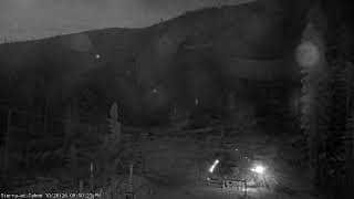
El Dorado County - Live Sierra Base
California, United States — 6.1 km

🇺🇸 California · United States — Altitude 1936 m
This live stream sits in Meyers, a small community at about 1,936 metres in the Sierra Nevada above Lake Tahoe. The feed is a traffic-category view, so it suits anyone checking road and mountain conditions before a drive.
Meyers lies in El Dorado County on the southern side of Lake Tahoe, the large alpine lake on the California and Nevada border. The community is a gateway for visitors heading to the lake and the ski resorts that cluster around it. Its setting is defined by pine forest, granite ridges and cool, clear mountain air, and it is one of the main stopping points for travellers crossing the Sierra on the way to the lake.
Because this is a traffic camera, the most useful time to watch is before departure or during changeable weather, when snow, rain or fog can alter road conditions quickly. Morning and early afternoon often give the clearest view of traffic flow. In winter, watch for snow cover and chain requirements, which tend to be most common in the hours after storms. The live player updates continuously while the stream is available.
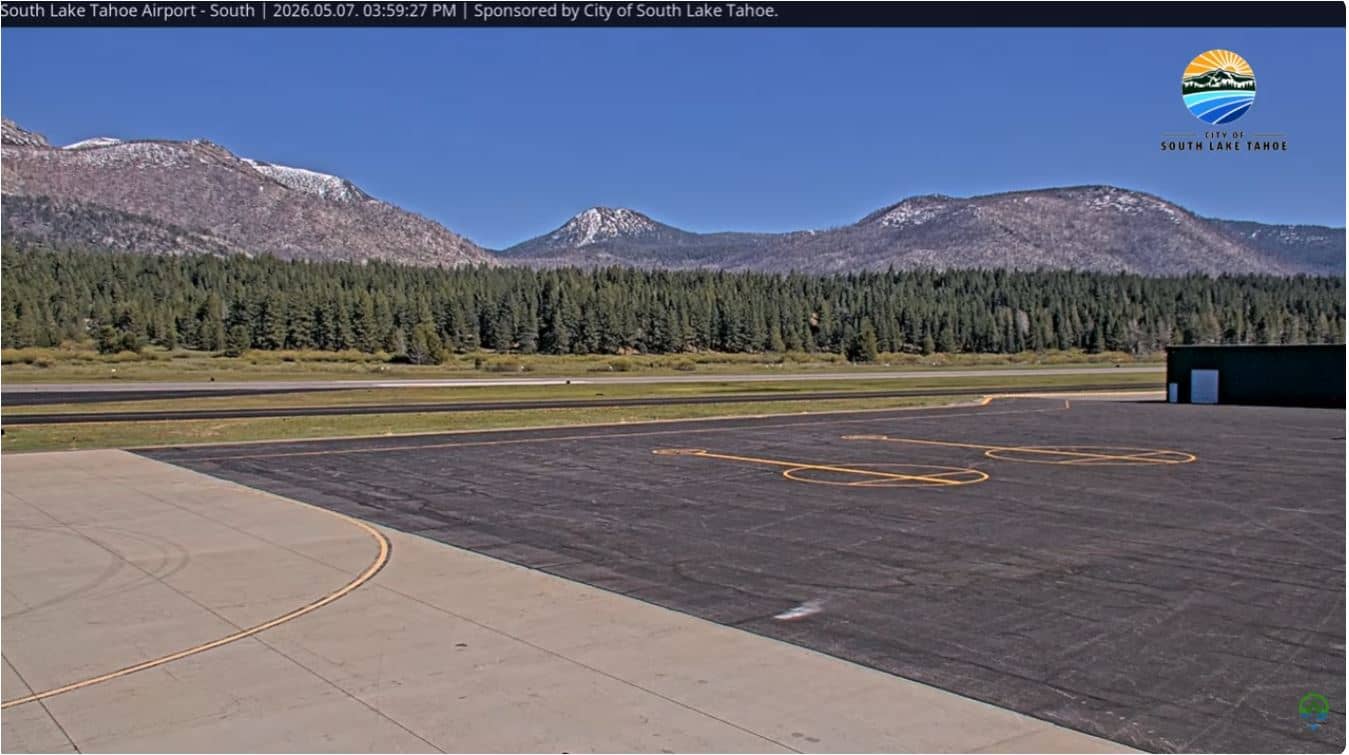
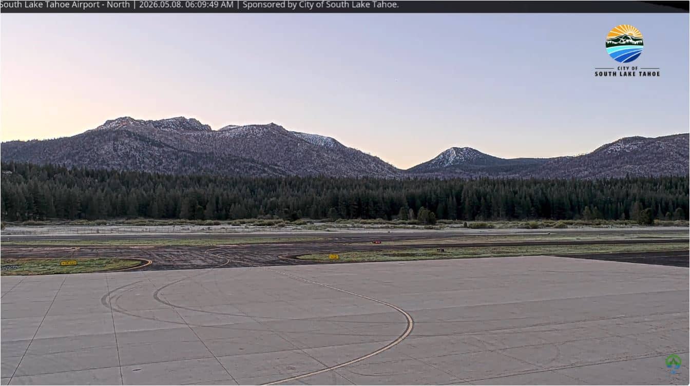
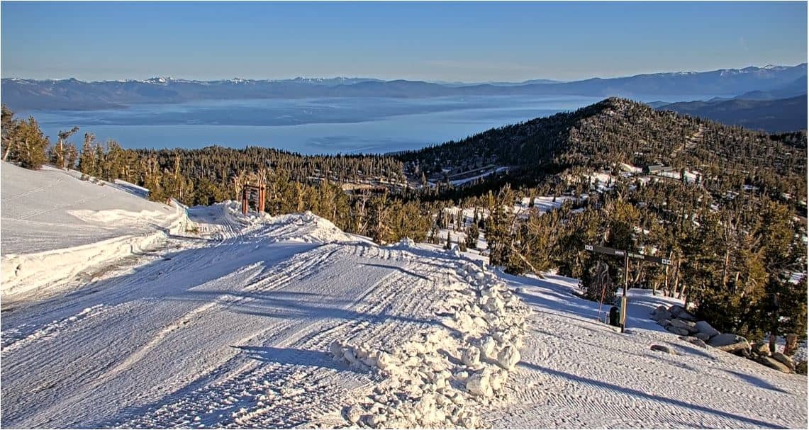
Winters are cold and snowy at this elevation, and summers are mild and dry, which makes them the most popular season for lake visits. Mountain passes can close temporarily in severe weather, so check conditions before you travel. Nearby cameras include South Lake Tahoe Airport views and the Heavenly resort top station, which help you judge conditions along the route.
Source: Meyers California Webcam
California, United States — 6.1 km
California, United States — 7 km
California, United States — 7.2 km
Florida, United States — 15 km
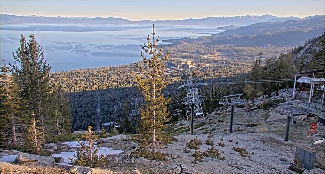
Florida, United States — 15 km
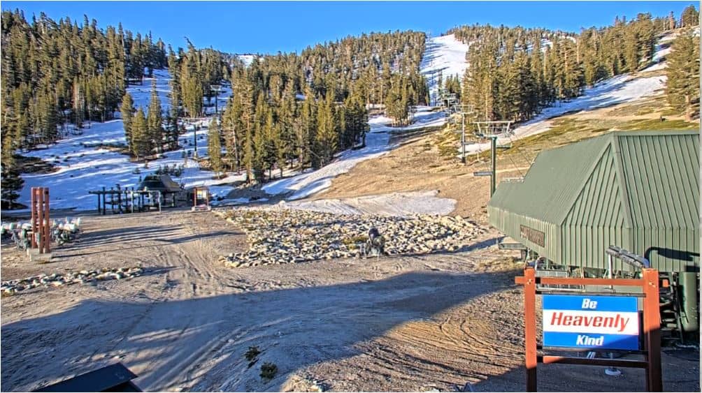
Nevada, United States — 16 km
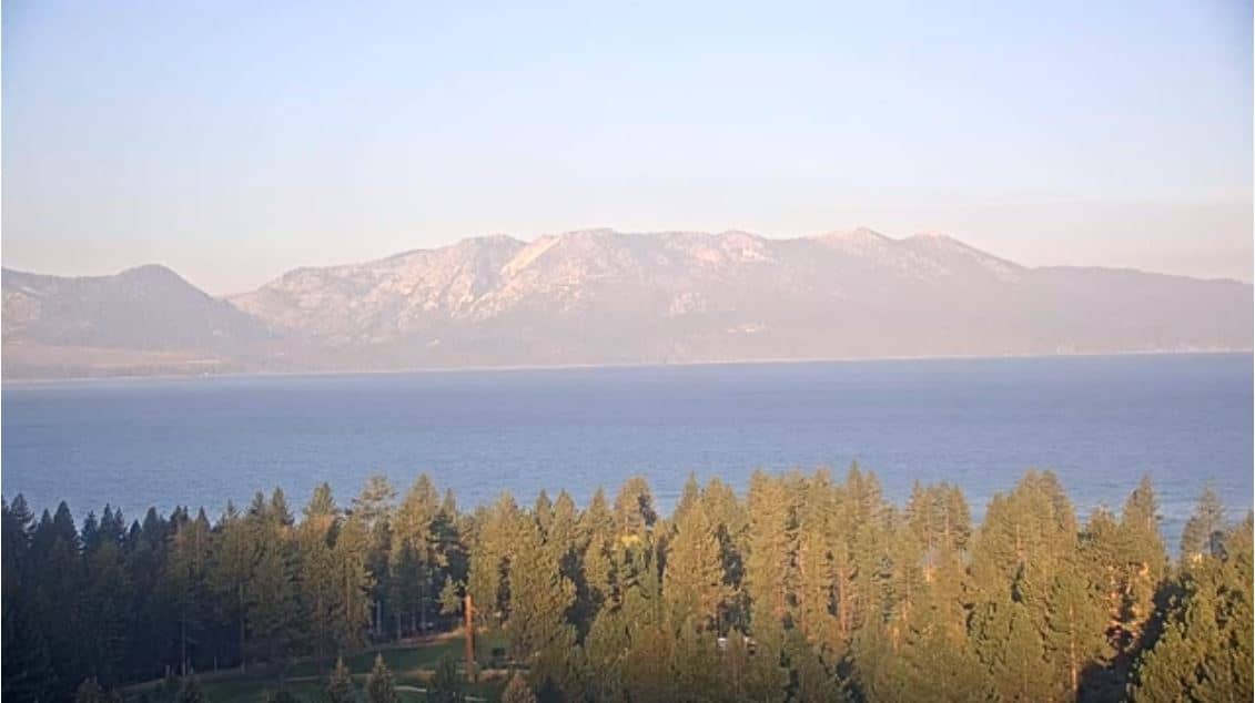
California, United States — 16 km
Nevada, United States — 17 km
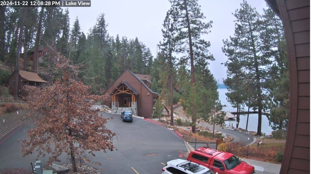
California, United States — 20 km
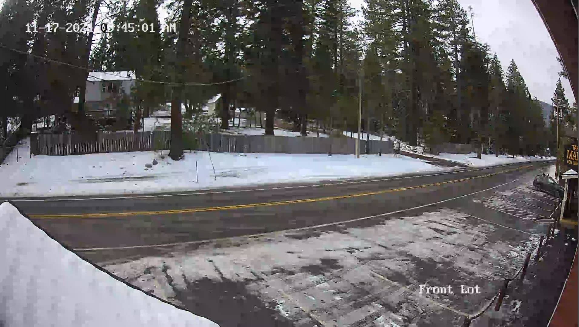
Florida, United States — 28 km
The current conditions and a three-day forecast for Meyers are shown in the live weather block on this page. Values update with the latest available data.
The local time for Meyers, which follows Pacific time, is displayed in the live clock on this page, so you can compare it with your own time zone.
The camera is in Meyers, El Dorado County, California, at roughly 38.83 degrees north and 120.02 degrees west, close to the southern shore of Lake Tahoe. The map on this page marks its position.
Watching in the morning or during winter storms is most useful, since traffic and road conditions change fastest then. Summer views are also useful for checking weekend lake traffic.
Partner links: we may earn a commission at no extra cost to you.