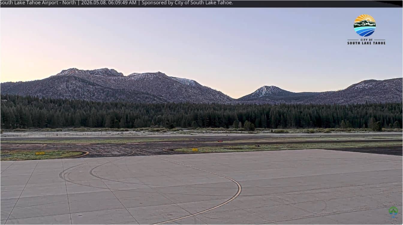
South Lake Tahoe - Airport North
California, United States — 0.2 km
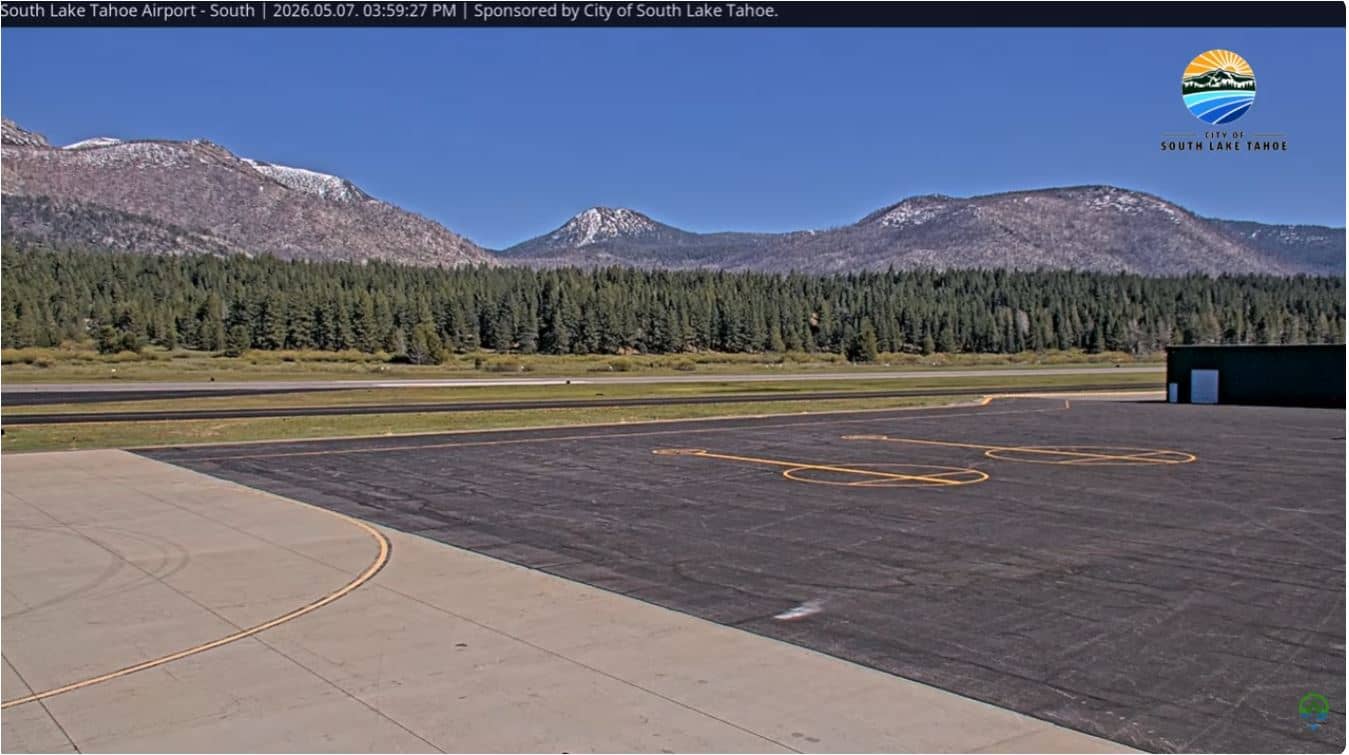
South Lake Tahoe - Airport South
🇺🇸 California · United States — Altitude 1915 m
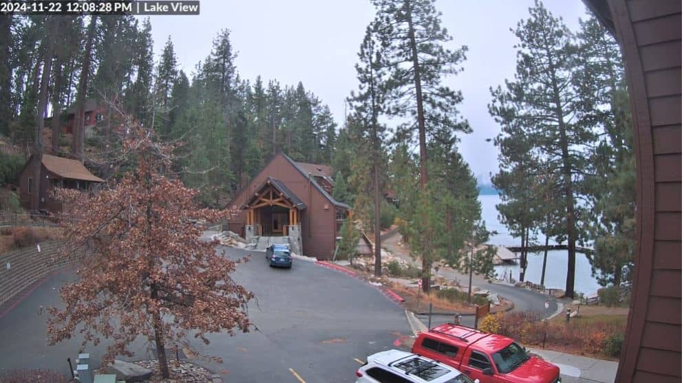
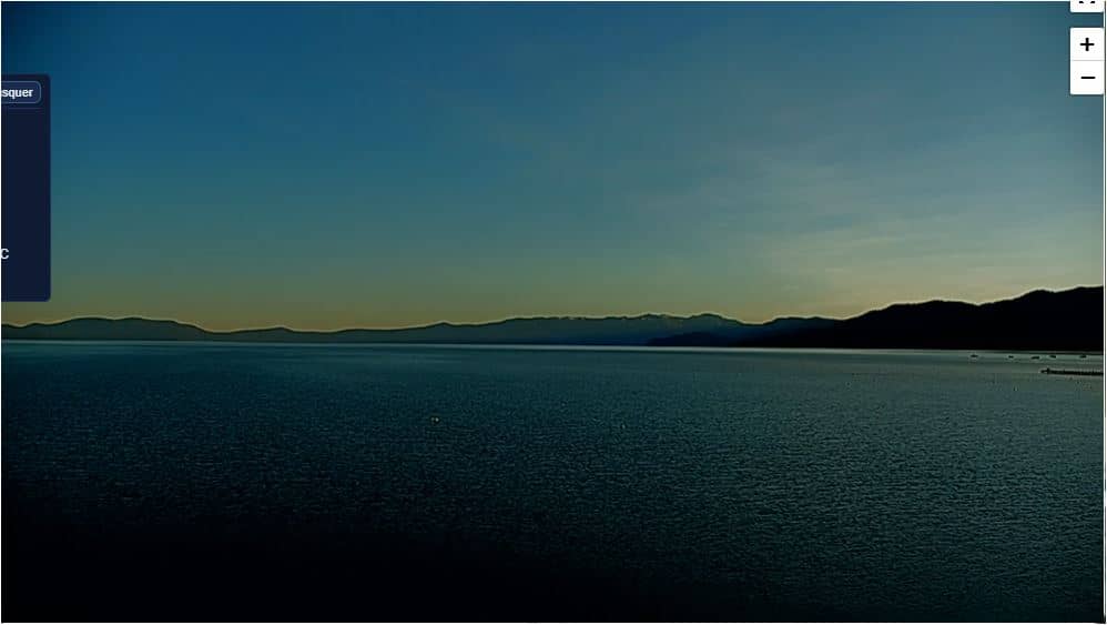
This camera looks out over the southern side of South Lake Tahoe, the lakeside city on the California and Nevada border. It is a useful way to check how the mountain air and sky look before you plan a day by the lake or in the Sierra Nevada.
South Lake Tahoe sits at about 1,900 metres on the southern shore of Lake Tahoe, one of the largest and deepest alpine lakes in North America. The city is a base for visitors who come for the lake, the surrounding pine forests and the granite peaks of the Sierra Nevada. The atmosphere is relaxed and outdoorsy, shaped by the seasons more than by city life.
The title refers to the airport area, so the view most likely takes in open ground, runways or the surrounding forest and hills, depending on the framing. Conditions worth watching include clear mountain sunlight in the morning, afternoon cloud build-up, and snow cover in winter, which can change the scene completely. Early and late hours often give the softest light.
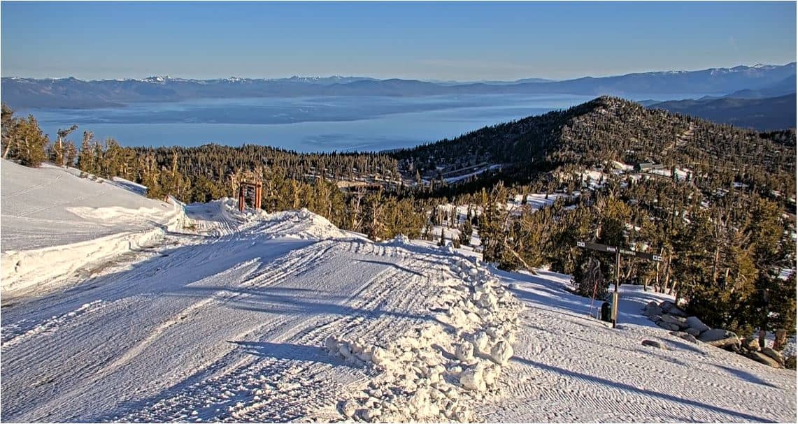
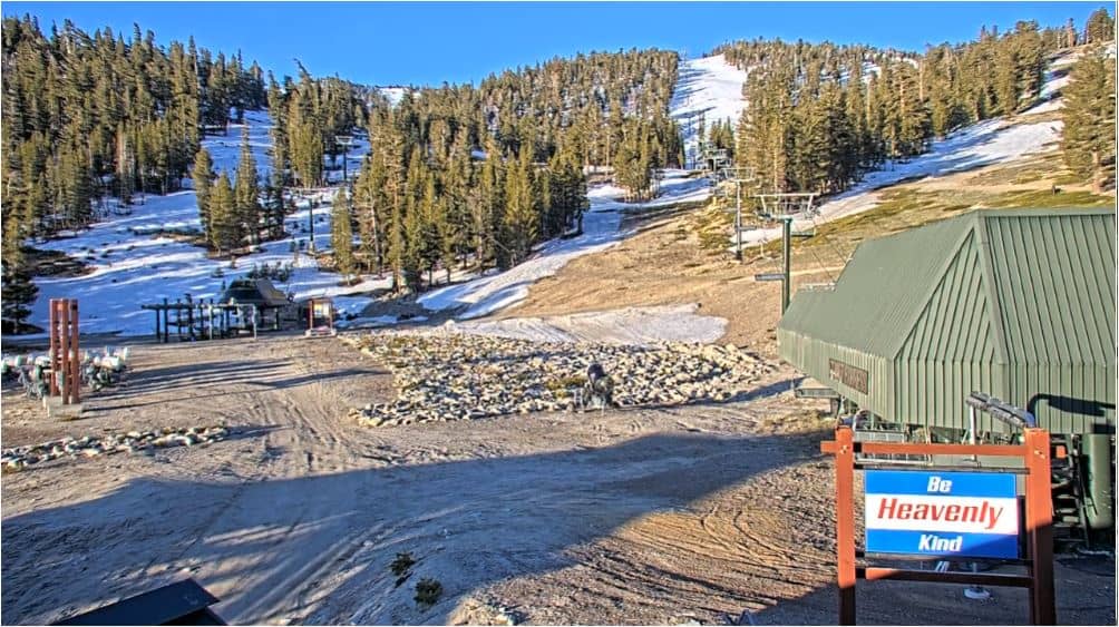
Summers are warm and dry with cool nights, while winters bring heavy snowfall and make the area a major ski destination. Spring and autumn are quieter, with changeable weather. Nearby cameras cover the North Airport, Meyers, Heavenly Top of Tram and the town itself, so you can compare conditions across the basin before you travel.
Source: seetahoe
California, United States — 0.2 km

California, United States — 7 km
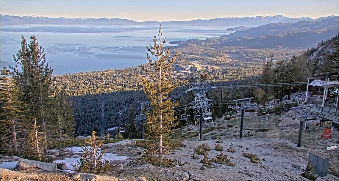
Florida, United States — 8.9 km
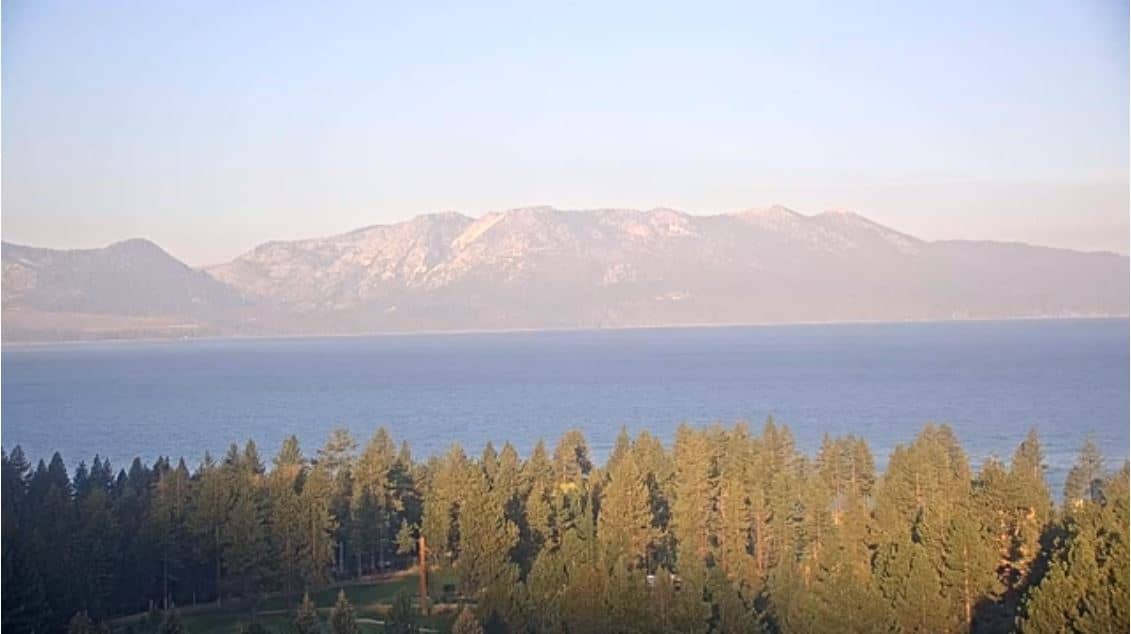
California, United States — 9.3 km
Florida, United States — 9.3 km
Nevada, United States — 9.9 km
Nevada, United States — 9.9 km
California, United States — 12 km
California, United States — 13 km
California, United States — 23 km
The current conditions and a three-day forecast for South Lake Tahoe are shown in the live weather block on this page, updated alongside the camera.
The local time for South Lake Tahoe is displayed on this page and follows Pacific time, including daylight saving changes.
The camera is on the southern side of South Lake Tahoe, near the airport, at roughly 1,900 metres above sea level. The map on this page shows its position.
Mornings tend to offer clear views and good light, while winter snow makes changes in the scene easy to follow. Check the live weather first to see what the sky is doing.
Partner links: we may earn a commission at no extra cost to you.