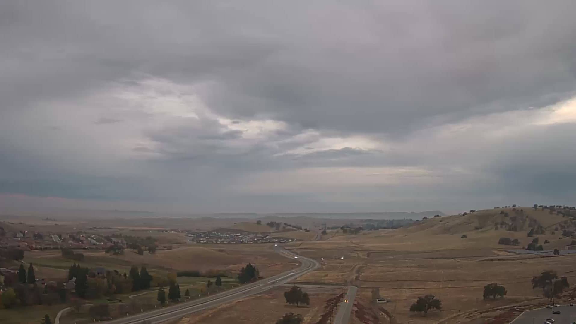
Friant
California, United States — 19 km
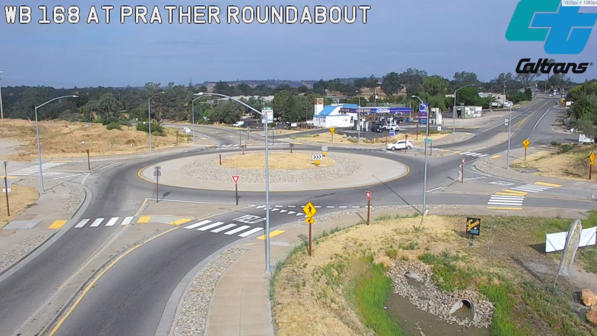
Prather
🇺🇸 California · United States — Altitude 501 m
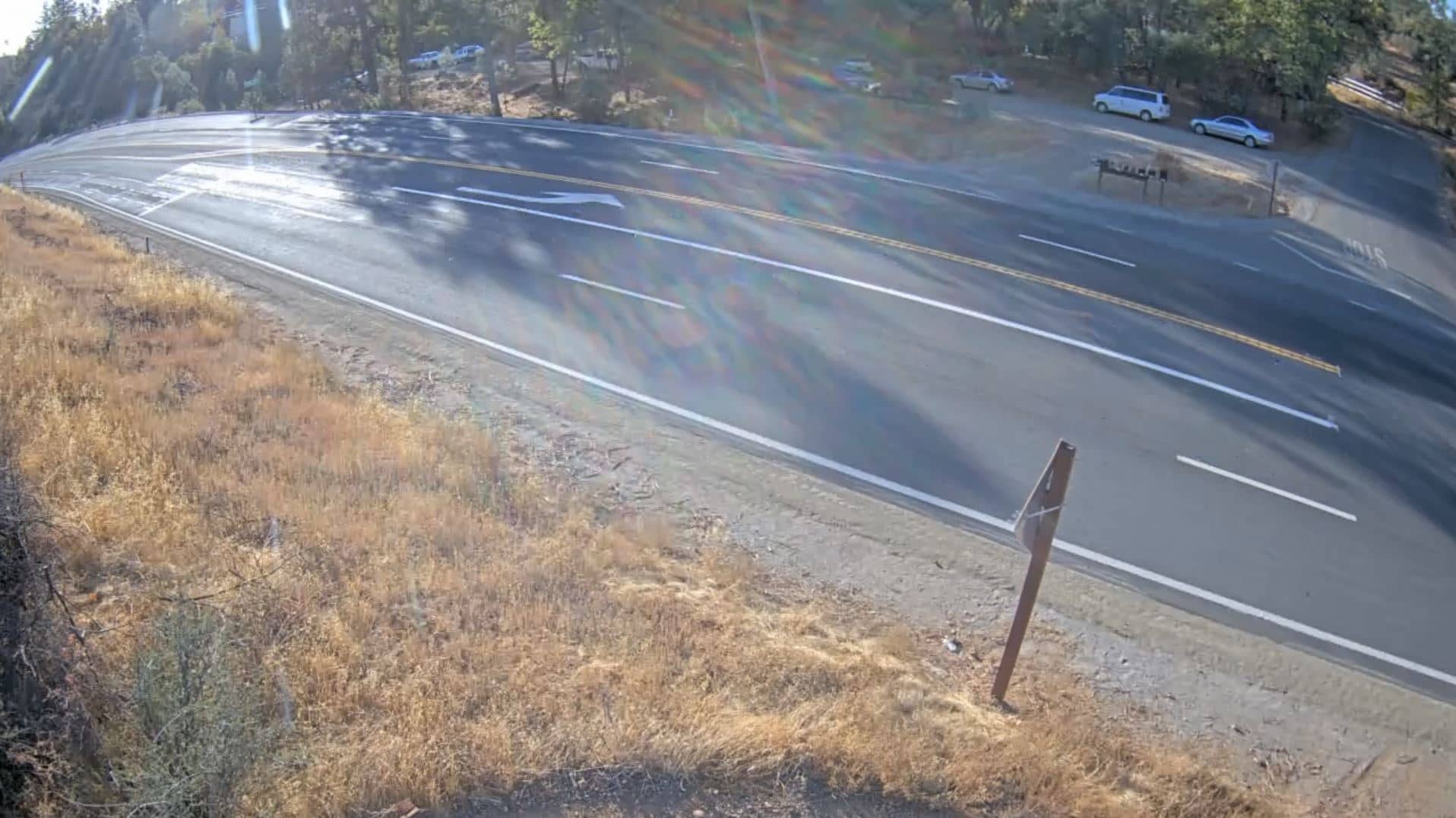
This live stream from Prather, a small community in the Sierra Nevada foothills of central California, is a traffic camera, so it is most useful for checking road conditions before you drive. Watch the view to get a sense of current traffic and weather above the canyon.
Prather sits at roughly 500 metres above sea level on the western slope of the Sierra Nevada, a short drive northeast of Fresno. The area is known for oak woodland, granite outcrops and river canyons that drain toward the San Joaquin Valley. It serves largely as a gateway to the mountains and to Yosemite and Sequoia National Parks further east.
As a traffic camera, the stream is mainly useful for judging road flow, visibility and whether snow, fog or rain is affecting travel. Depending on the view, you may notice the change from clear morning light to afternoon haze in summer, or wet pavement and low cloud after winter storms. Checking during the morning commute or before an afternoon departure from the valley gives the most practical information.
Summers in this part of California are hot and dry, with temperatures often above 30 °C, while winters are mild with occasional rain and, at higher elevations, snow. Spring is usually the most pleasant time to travel. Nearby live cameras on VizCams include Friant, Oakhurst, China Peak and Lakeshore, which can help you compare conditions along the route into the mountains.
Source: Prather Webcam California
California, United States — 19 km

California, United States — 29 km
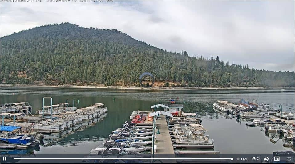
California, United States — 33 km
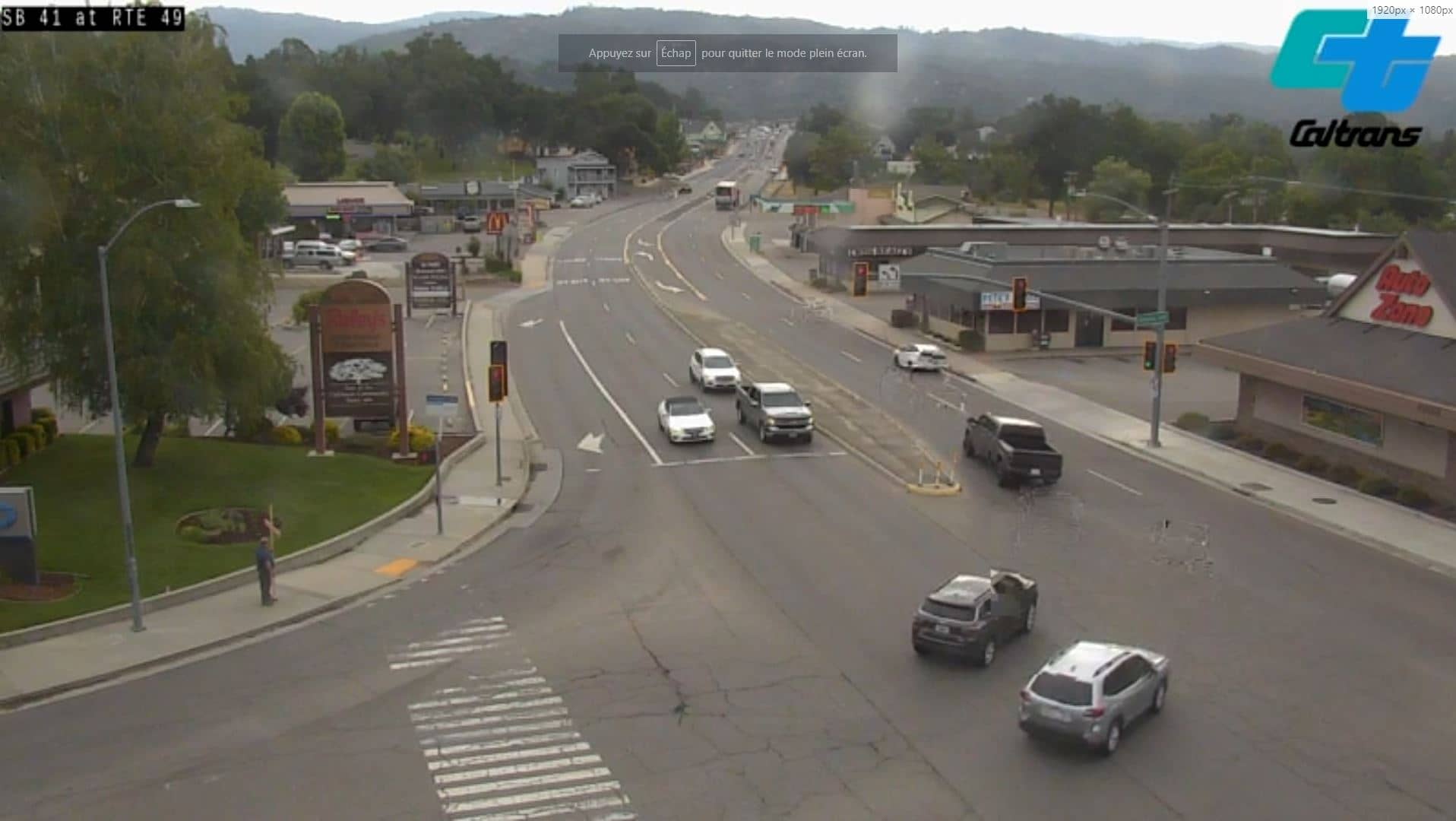
California, United States — 36 km
California, United States — 39 km
California, United States — 39 km
California, United States — 43 km
California, United States — 45 km
California, United States — 58 km
California, United States — 67 km
The current weather and a three-day forecast for Prather are shown in the live block on this page and update with the stream. Use them together with the video to judge conditions on the road.
The local time for Prather, which follows Pacific time, is displayed on this page and updates automatically as you watch.
The camera is in Prather in Fresno County, California, at about 37.04 degrees north and 119.52 degrees west, roughly 500 metres above sea level. The map on this page marks its position.
Early mornings and the afternoon commute are typically the busiest periods on mountain roads, and winter storms or summer afternoon haze can change the view quickly. Check the stream at those times for the most useful picture of conditions.
Partner links: we may earn a commission at no extra cost to you.