
Meyers
California, United States — 6.1 km
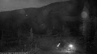
El Dorado County - Live Sierra Base
🇺🇸 California · United States — Altitude 2226 m
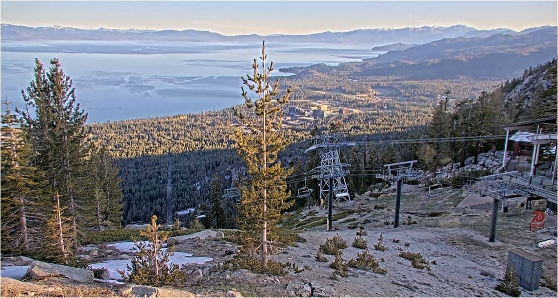
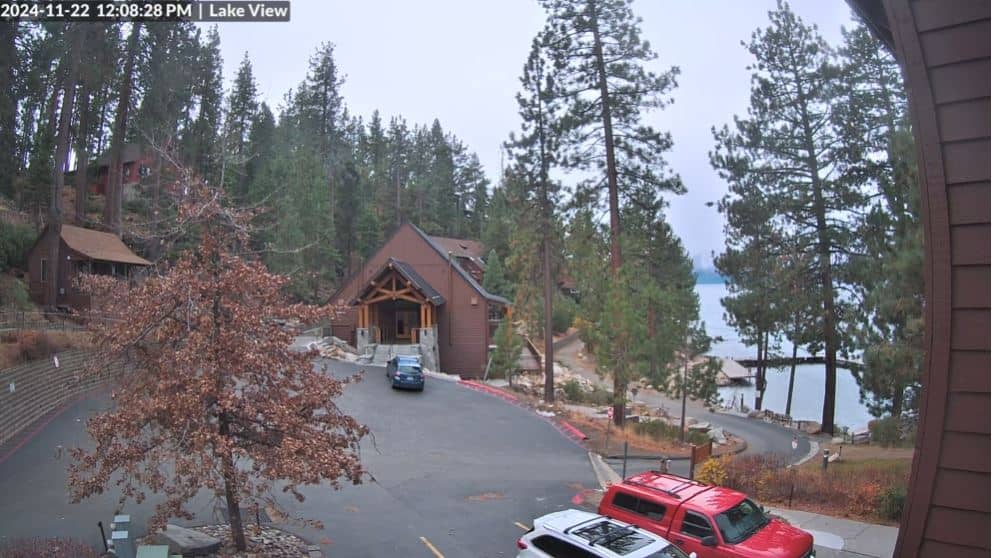
This live camera looks out over the Sierra Nevada foothills and mountain terrain of El Dorado County in northern California. It is a useful window for anyone planning a trip to the Lake Tahoe area or simply curious about current conditions in the high Sierra. The live player below shows the view as it is streamed by its owner.
El Dorado County lies on the western slope of the Sierra Nevada, stretching from the Central Valley foothills up toward the high country around Lake Tahoe. The landscape is a mix of pine and fir forest, granite outcrops and deep river canyons. The county takes its name from the Spanish phrase for the golden one, a nod to the gold rush that transformed the region in 1848. Today it is known for mountain recreation, wineries in the lower foothills and its proximity to Tahoe.
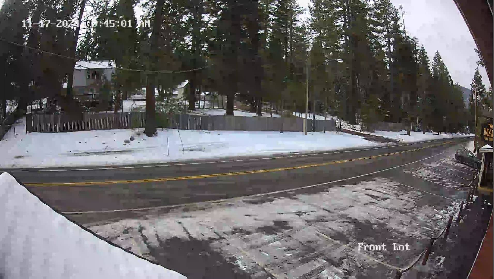
The view is from a mountain base location at around 2,200 metres, so the scene is shaped by elevation and season. In winter, snow cover can change the picture quickly and storms may bring low cloud across the slopes. Summer mornings are often clear and calm, while afternoon clouds frequently build over the peaks. Depending on the view, you may see changing light on ridgelines at sunrise and sunset, which are often the most rewarding times to watch.
The Sierra climate is dry in summer, with warm days and cool nights, and wetter, colder winters with heavy snowfall at higher elevations. Late spring and early autumn are often comfortable for hiking and sightseeing. The nearby South Lake Tahoe airport cameras and the Meyers camera are a short drive away, and the Heavenly Top of Dipper camera gives a broader view of the ski terrain. Check the live weather on this page before setting out, as mountain roads can change quickly.
Source: CamStreamer
California, United States — 6.1 km
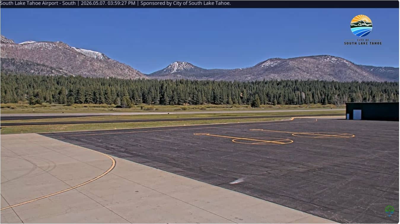
California, United States — 12 km
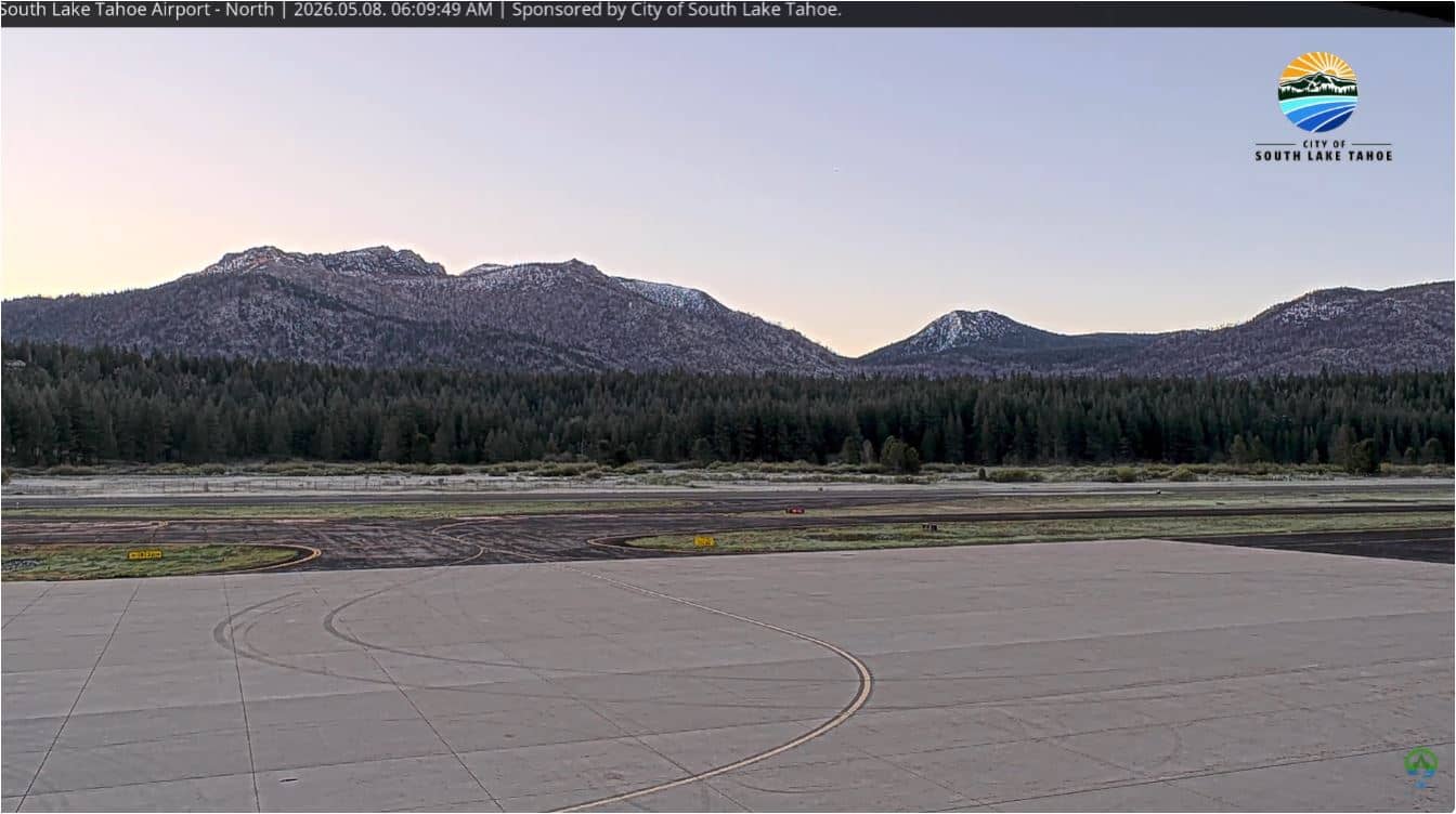
California, United States — 12 km
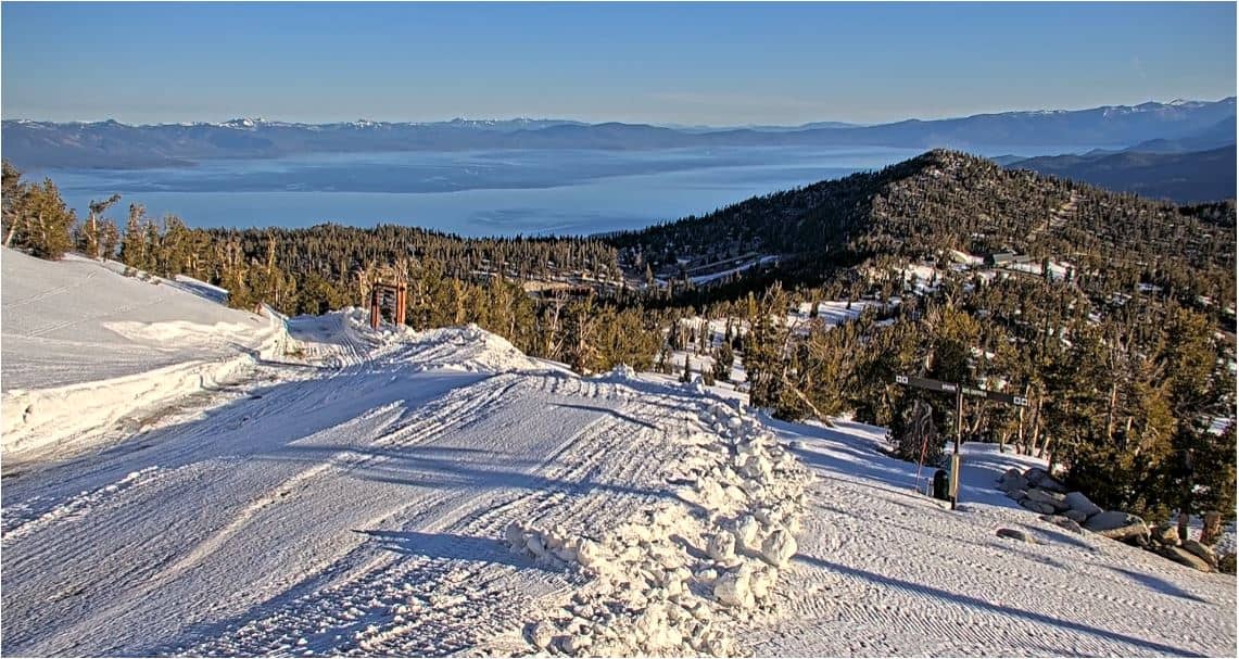
Florida, United States — 21 km
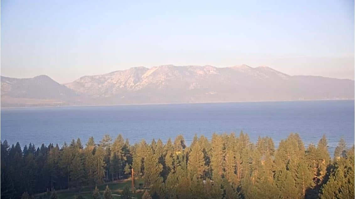
Florida, United States — 21 km
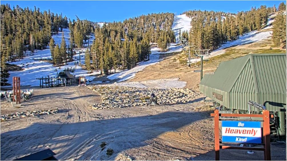
California, United States — 21 km
Nevada, United States — 22 km
Nevada, United States — 22 km
California, United States — 25 km
Florida, United States — 30 km
The current conditions and a 3-day forecast are shown in the live weather block on this page. Mountain weather can change quickly, so check it before travelling.
The local time for this camera is displayed on the page and updates automatically. It follows Pacific time as used across California.
The camera is in El Dorado County, California, at an altitude of about 2,226 metres. The map on this page shows its precise position in the Sierra Nevada.
Sunrise and sunset often bring the most interesting light on the mountains, and clear winter or summer days show the terrain best. Weather conditions shape what is visible at any time.
Partner links: we may earn a commission at no extra cost to you.