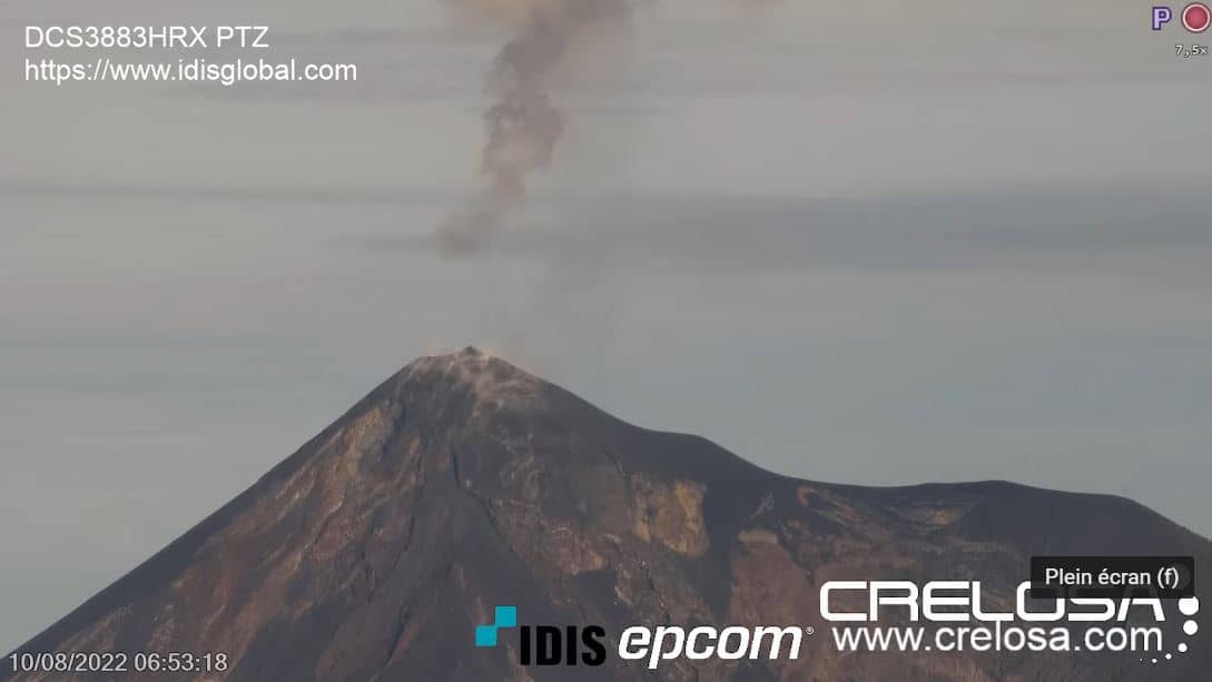
Volcan Fuego
Chimaltenango Department, Guatemala — 77 km
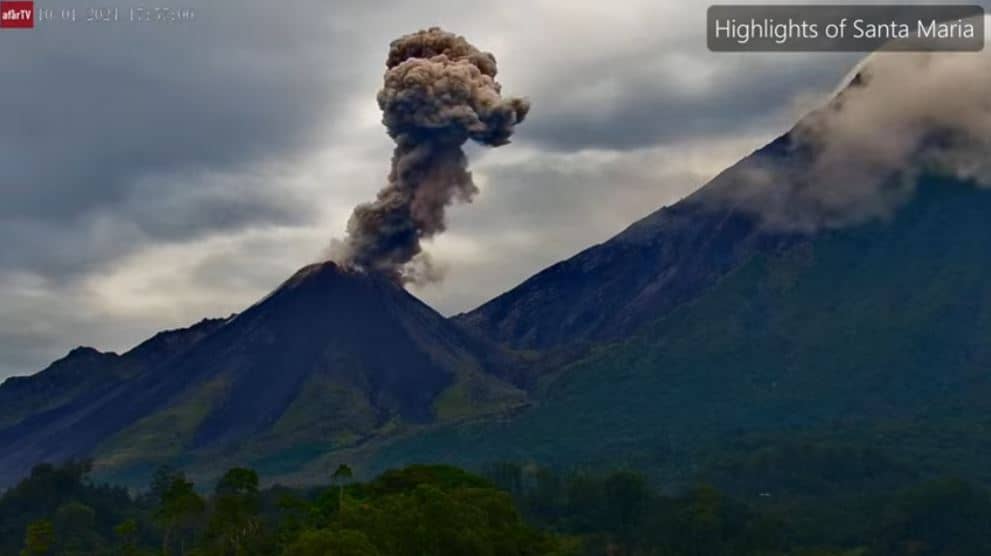
Santa Maria Volcano - Santiaguito
🇬🇹 Quetzaltenango · Guatemala — Altitude 2265 m
This live stream follows Santiaguito, the young lava dome growing on the flank of Santa Maria Volcano in western Guatemala. Volcanic activity here is frequent and can change quickly, so a live feed is the best way to see what the summit looks like right now. The page also shows local time and the weather forecast for the area.
Santa Maria rises above the highlands near Quetzaltenango, at roughly 2,300 metres. Its neighbour Santiaguito has been erupting in cycles since 1922, building a dome of lava and ash that keeps reshaping the crater. The region is known for its volcanic landscape, coffee-growing slopes and Mayan highland towns. The surrounding terrain is rugged and the volcano is one of the most closely monitored in Central America.
The stream is labelled as a view of Santa Maria and Santiaguito, so you may see the dome, plumes of steam or ash, and the surrounding ridges, depending on the angle and visibility. Clouds often build up in the afternoon, so early morning tends to offer the clearest outlook. Activity levels vary from day to day, and a quiet period can look very different from a more energetic one.
The highlands have a mild climate with cooler nights, and the rainy season from May to October brings frequent cloud. The drier months from November to April are generally better for clear views. Quetzaltenango is the main base for visitors, and the nearby Volcan Fuego, about 77 km away, is another camera on the same region's volcanic chain.
The local time and weather blocks on this page update with the live feed, so you can judge conditions at the summit area before deciding when to watch.
Source: Afar TV - Santa Maria Volcano
Chimaltenango Department, Guatemala — 77 km
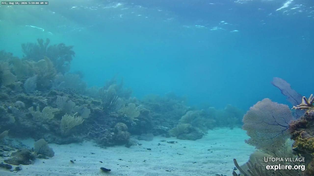
Bay Islands, Honduras — 517 km
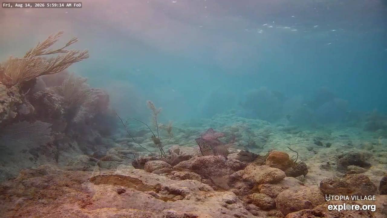
Bay Islands, Honduras — 517 km
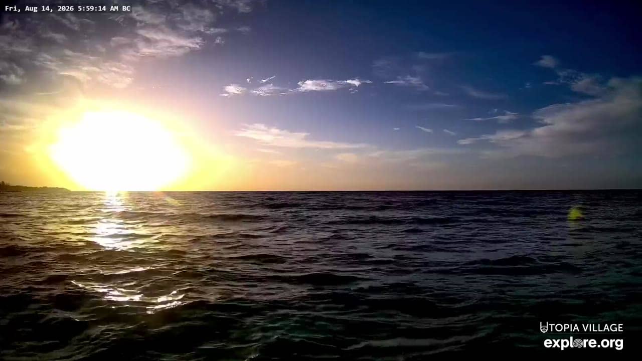
Bay Islands, Honduras — 517 km
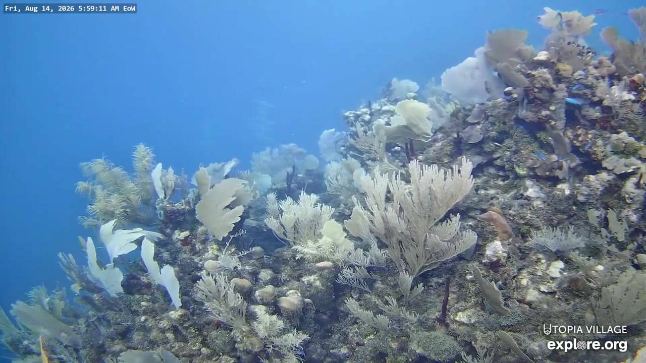
Bay Islands, Honduras — 517 km
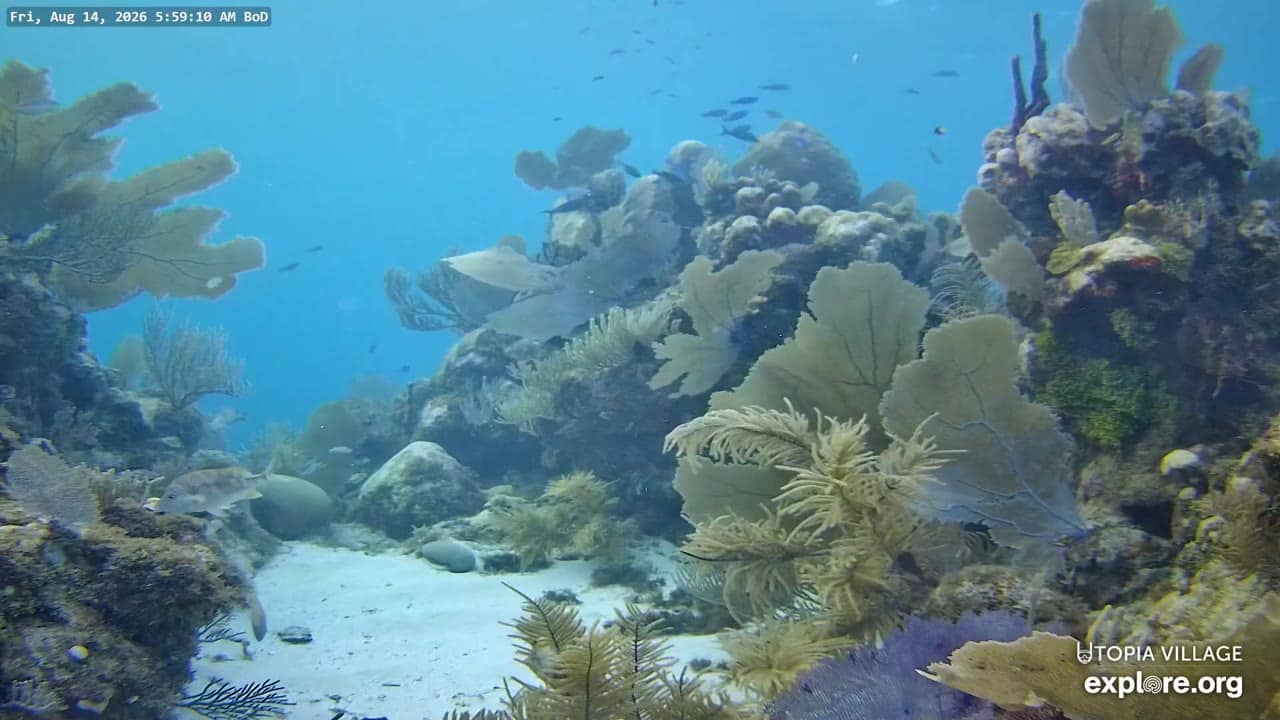
Bay Islands, Honduras — 517 km
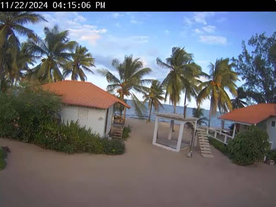
Belize District, Belize — 523 km
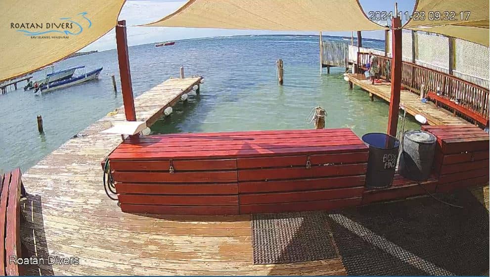
Bay Islands, Honduras — 553 km
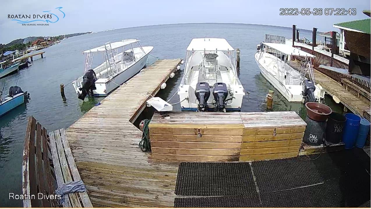
Bay Islands, Honduras — 561 km
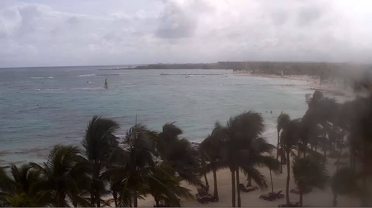
Quintana Roo, Mexico — 779 km
The current weather and three-day forecast for the area are shown in the live block on this page. Conditions at the summit can differ from the town, so check the feed as well.
The local time for the camera is shown on this page and follows the local time in Guatemala. It updates automatically alongside the video.
The camera is near Santa Maria Volcano in the Quetzaltenango region of western Guatemala, at about 2,265 metres altitude. The map on this page shows its position.
Early morning is usually clearest, before clouds build in the afternoon. Dry-season months from November to April often give better visibility.
Partner links: we may earn a commission at no extra cost to you.