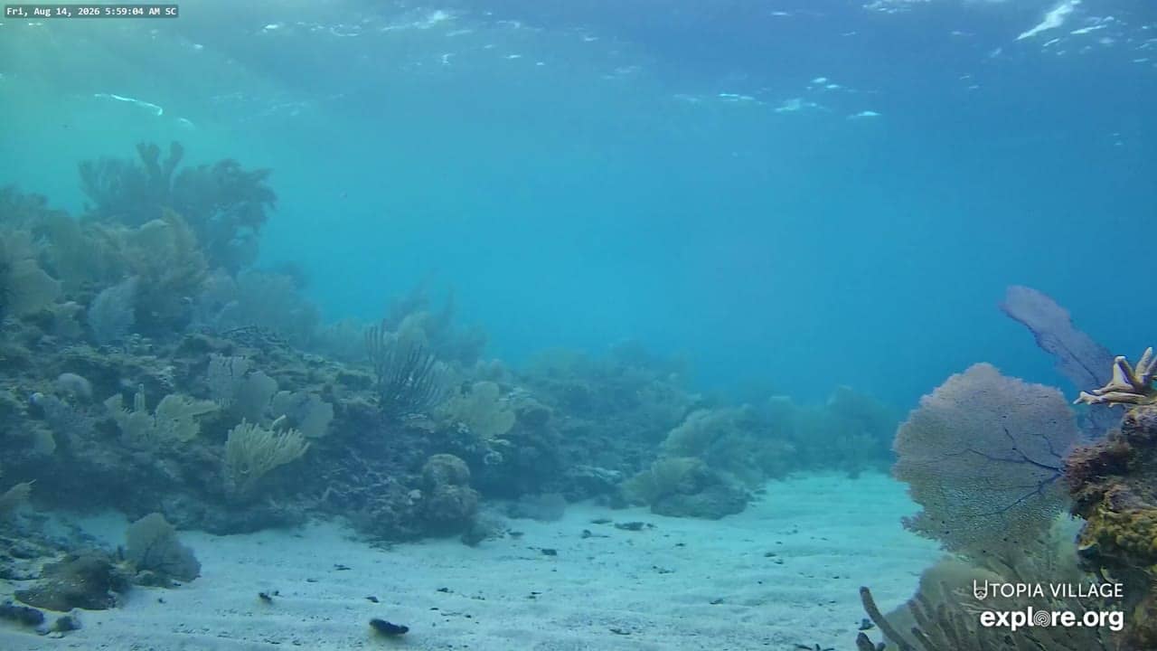
Utila - Sandy Channel Underwater Reef Cam
Bay Islands, Honduras — 0 km
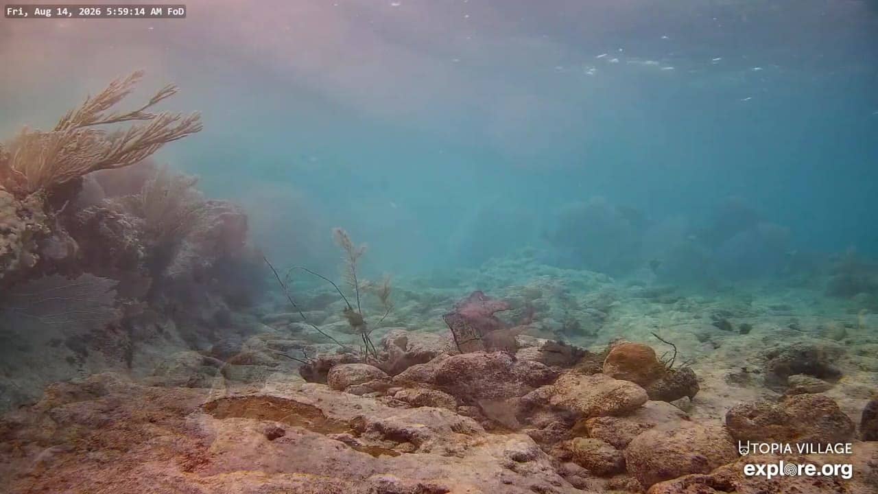
Utila - Front-of-Dock Underwater Reef Cams
🇭🇳 Bay Islands · Honduras — Altitude 19 m
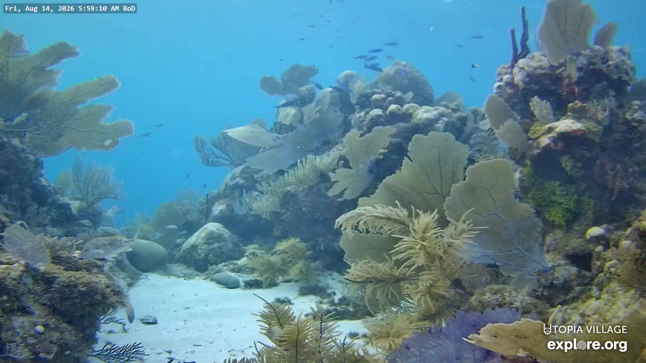
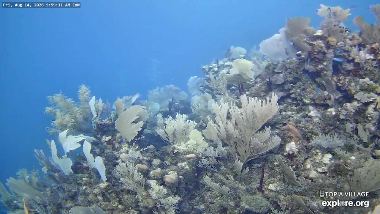
This live feed points down into the water at the front of a dock in Utila, one of the Bay Islands off Honduras' Caribbean coast. It gives a window onto the reef that visitors come here to snorkel and dive. Watch it before a trip to gauge clarity and activity beneath the surface.
Utila is the smallest of the main Bay Islands, a low island of hills, mangroves and small settlements. It is best known as a diving destination, with a fringing barrier reef running along its shore and some of the most affordable dive training in the Caribbean. The water is shallow in many spots and the island has a relaxed, port-town character built around boats and diving.
The title places the camera at the dock front, looking into the reef water, so the view depends on the water depth and light at that spot. Clear, calm mornings and afternoons with the sun high tend to be the most rewarding for seeing fish and coral. Conditions shift with wind and sediment, so the view can look very different from one hour to the next.
Utila has a warm tropical climate, with the drier months generally offering calmer seas and better visibility, and the wetter period bringing more rain and occasional rough water. Access is by ferry or small plane from the mainland, and getting around the island is mostly on foot or by golf cart. Nearby reef cameras on the same stretch of coast are listed on this page for comparison.
Use the live blocks on this page to check the current local time and the weather over the next three days before you plan a dive or a boat trip. Wind and wave height matter as much as temperature when judging whether a day on the water is comfortable.
Source: explore.org
Bay Islands, Honduras — 0 km
Bay Islands, Honduras — 0 km
Bay Islands, Honduras — 0 km
Bay Islands, Honduras — 0 km
Bay Islands, Honduras — 37 km
Bay Islands, Honduras — 45 km
Belize District, Belize — 236 km
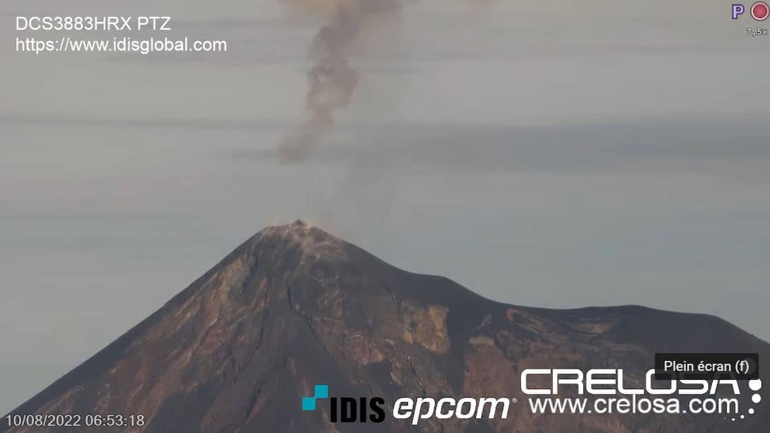
Chimaltenango Department, Guatemala — 465 km
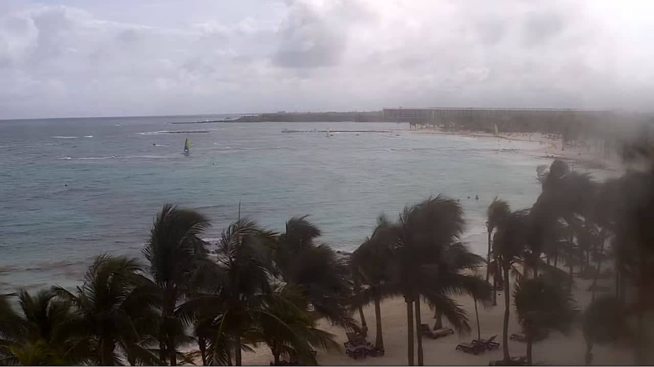
Quintana Roo, Mexico — 489 km

Quintana Roo, Mexico — 501 km
The current conditions and three-day forecast for Utila are shown in the live weather block on this page. They update automatically, so you can check wind and rain before heading out.
The local time for Utila is displayed live on this page. Utila keeps a fixed offset from UTC and does not change clocks for daylight saving, so the time shown is always current.
The camera is at the front of a dock in Utila, Bay Islands, Honduras. The map on this page marks its position so you can see where it sits relative to the island and nearby reef cameras.
Mid-morning to mid-afternoon usually gives the brightest water and clearest view. Calm days in the drier months are generally the most rewarding for watching fish and coral.
Partner links: we may earn a commission at no extra cost to you.