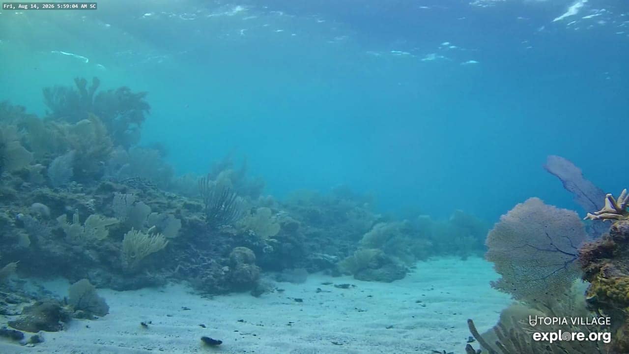
Utila - Sandy Channel Underwater Reef Cam
Bay Islands, Honduras — 0 km
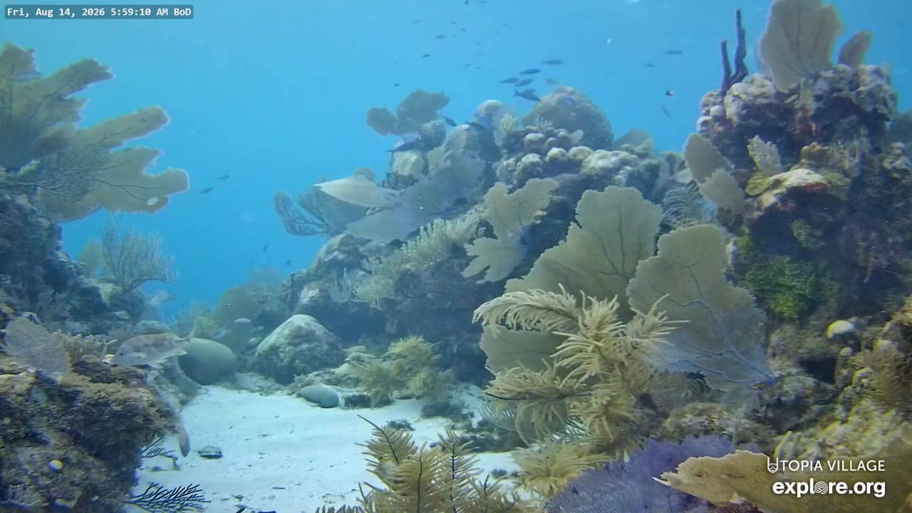
Utila - Back-of-Dock Underwater Reef Cams
🇭🇳 Bay Islands · Honduras — Altitude 19 m
This live feed looks down into the water behind a dock on Utila, the smallest of the Bay Islands off Honduras. It gives a view of the reef life close to shore, useful for anyone curious about Caribbean reefs before they travel. The page also shows local time and the current weather alongside the stream.
Utila lies in the Bay Islands, a chain of small islands in the Caribbean Sea off the north coast of Honduras. It is known as a base for diving and snorkelling, with the Mesoamerican Barrier Reef, the second largest reef system in the world, running along the coast nearby. The island has a relaxed, small-town feel, with sandy streets, wooden houses and a harbour where boats come and go throughout the day.
The camera is placed underwater at the back of a dock, so the picture is about the water and what moves through it rather than the island itself. Depending on visibility, you may see fish passing the pilings, sponges and corals on the seabed, and changes in light as the sun moves across the day. Midday usually gives the brightest water, while early morning and late afternoon can be calmer and more colourful. Clear, calm weather tends to give the best view.
Utila has a warm, humid tropical climate, with the most comfortable weather from late winter to early summer. Hurricane season runs through the autumn, so it is worth checking forecasts before planning a trip. Getting around the island is mostly on foot or by golf cart, and ferries connect it to the mainland. Other underwater cameras in Utila include the Edge-of-Wall, Back Channel, Sandy Channel and Front-of-Dock views, which show the reef from different spots.
Source: explore.org
Bay Islands, Honduras — 0 km
Bay Islands, Honduras — 0 km
Bay Islands, Honduras — 0 km
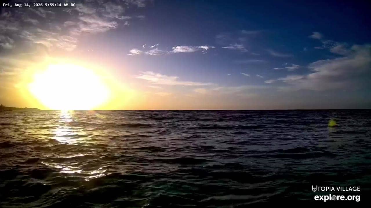
Bay Islands, Honduras — 0 km
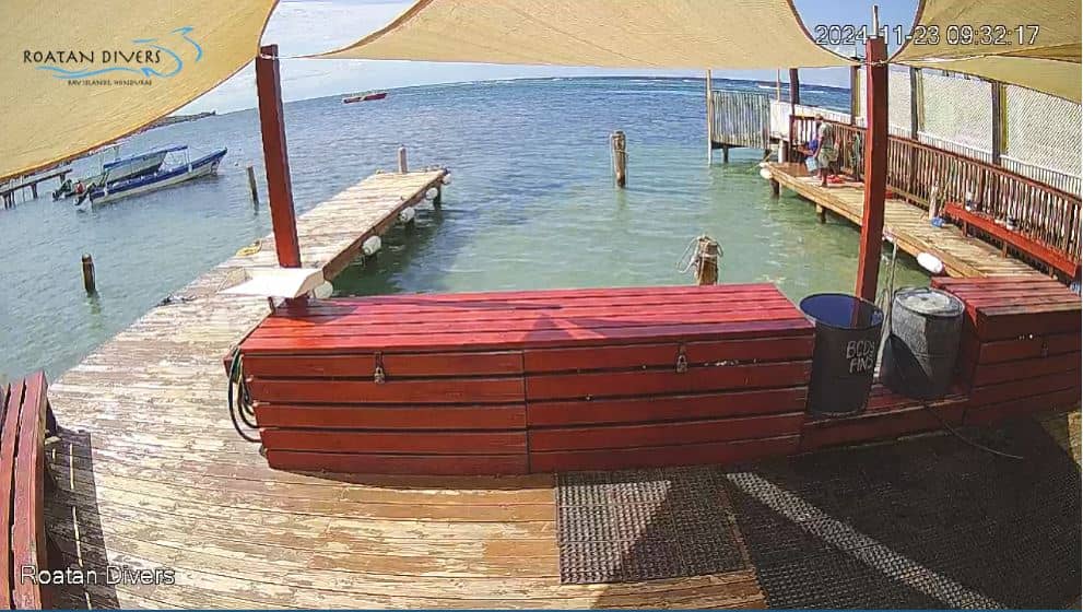
Bay Islands, Honduras — 37 km
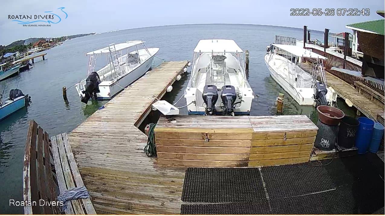
Bay Islands, Honduras — 45 km
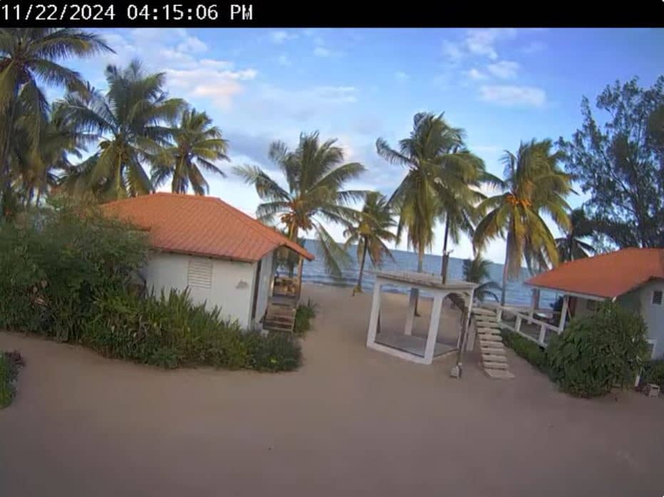
Belize District, Belize — 236 km
Chimaltenango Department, Guatemala — 465 km
Quintana Roo, Mexico — 489 km

Quintana Roo, Mexico — 501 km
The current conditions and a three-day forecast for Utila are shown in the live weather block on this page. The values update as the page refreshes, so check there for temperature, wind and rain.
The local time for Utila is displayed on this page and updates live. Utila follows Central Standard Time with no daylight saving changes, so compare with that when planning calls.
The camera is at the back of a dock on Utila in the Bay Islands of Honduras. The page map shows its position, and nearby cameras at other spots on the island are listed below the stream.
Midday tends to give the clearest, brightest water, though visibility depends on conditions. Calm days after a few quiet weeks usually offer the best view of fish and coral.
Partner links: we may earn a commission at no extra cost to you.