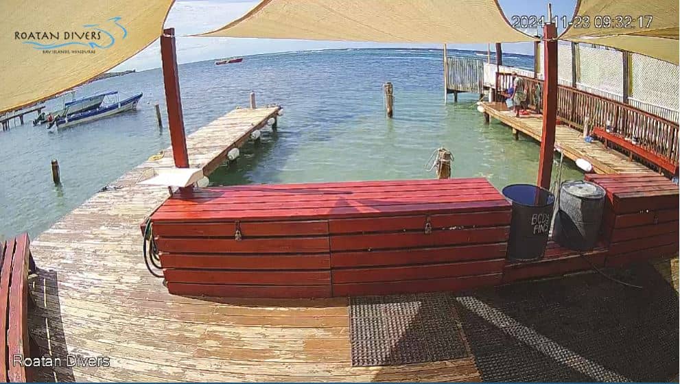
West Bay
Bay Islands, Honduras — 7.6 km
🇭🇳 Bay Islands · Honduras — Altitude 3 m
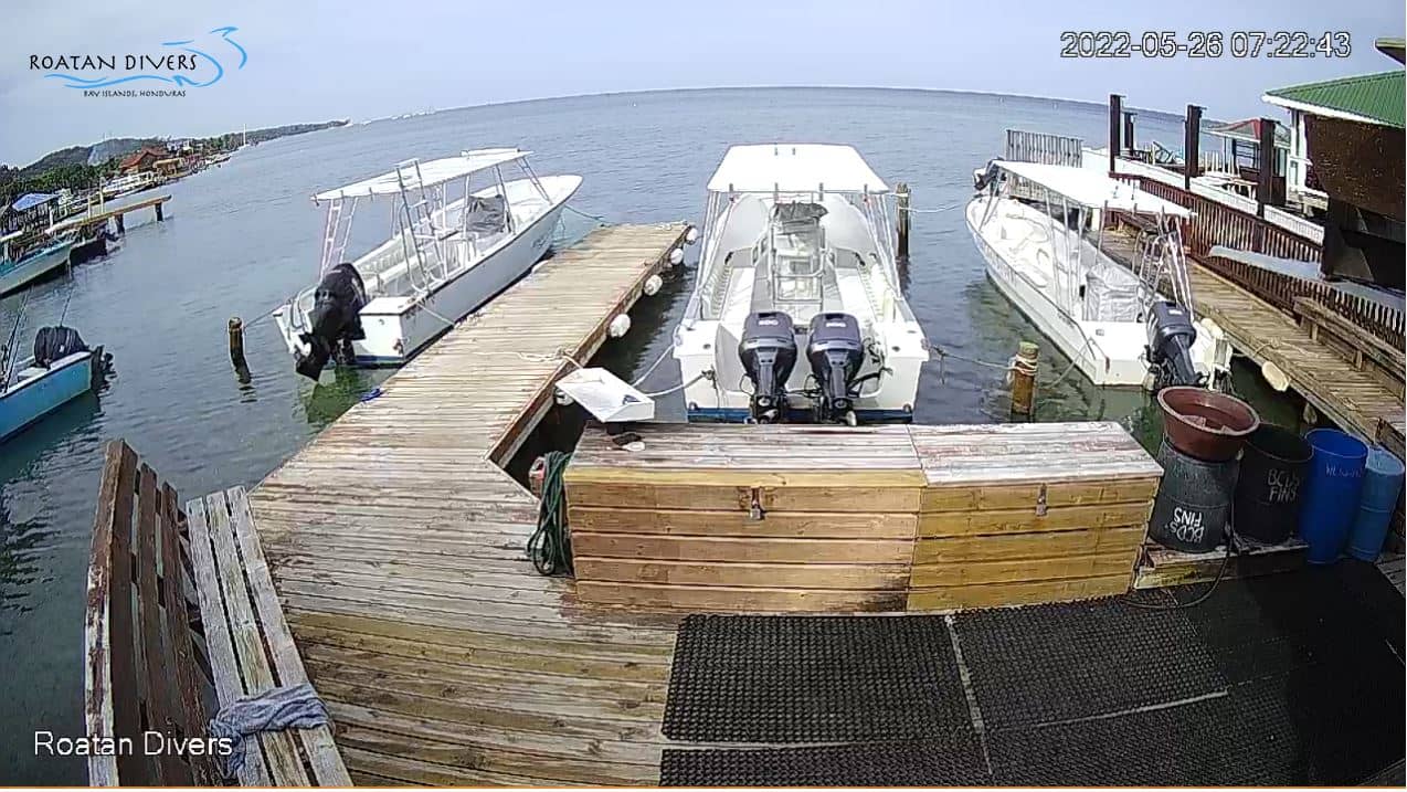
This live feed follows conditions on Roatan, the largest of Honduras' Bay Islands in the western Caribbean. It is a quick way to judge the sky, the sea and the light before you head out. The page adds local time and a forecast beside the stream.
Roatan sits off the north coast of Honduras and is the biggest island in the Bay Islands group. Its low, green hills drop to shallow turquoise water, and a fringing barrier reef runs along much of the coast. The island is known as a base for diving and snorkelling, and its villages mix Garifuna, Creole and Spanish-speaking communities. Life moves at a relaxed, island pace, shaped by the sea more than by traffic or large towns.
The view is tied to the island's coastal setting, so expect a sense of the water, the sky and how the weather is moving across the bay. Depending on the viewpoint, you may see boats, the shoreline or open sea. Mornings often bring calmer water and clearer skies, while afternoons can build clouds and brief showers. Check the live player to see whether conditions look settled or changeable before you plan a trip out on the water.
Roatan has a warm tropical climate, with temperatures staying high through the year and humidity that feels strong in summer. The wettest months tend to be from roughly September to November, so many visitors prefer the drier stretch from early in the year into spring. Taxis and shuttles connect the main towns, and water taxis serve nearby islands. The nearby cameras listed on this page, such as West Bay, show other coastal views on the island.
Source: Roatan Drivers
Bay Islands, Honduras — 7.6 km
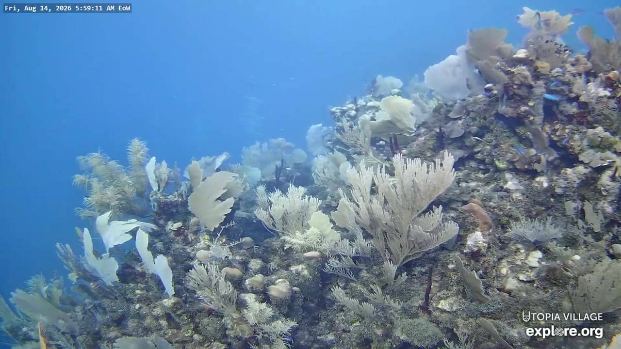
Bay Islands, Honduras — 45 km
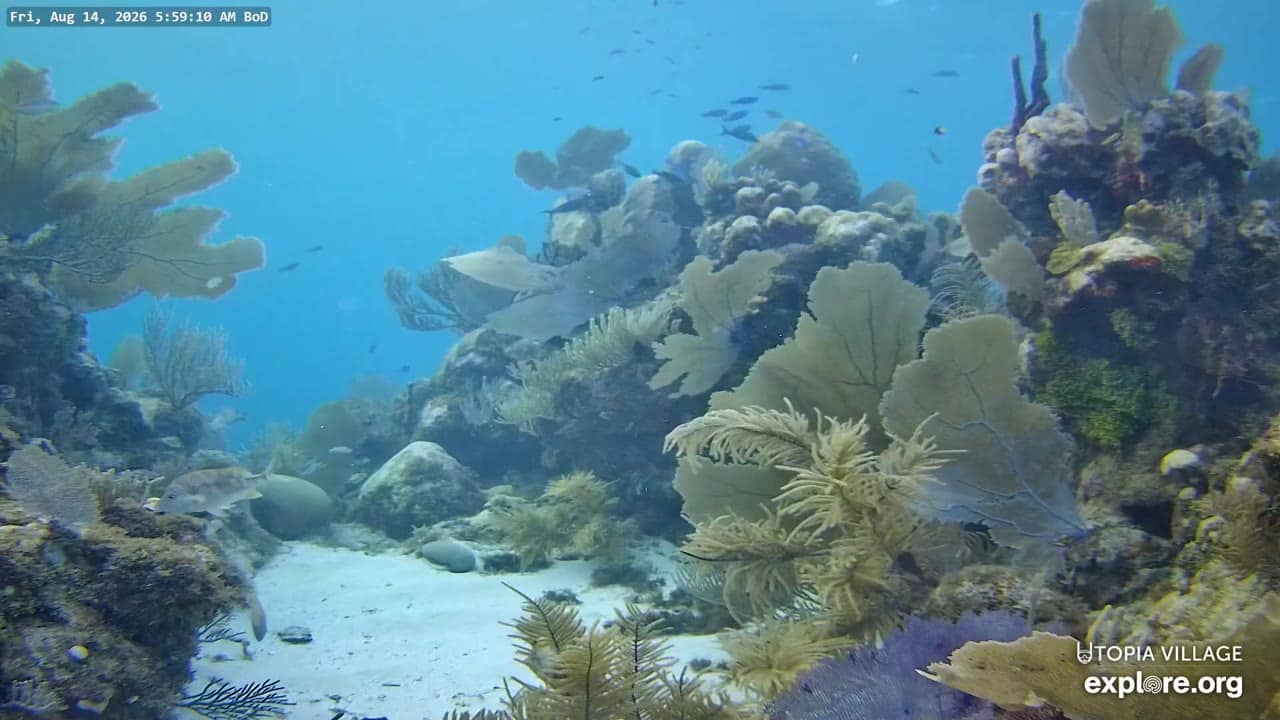
Bay Islands, Honduras — 45 km
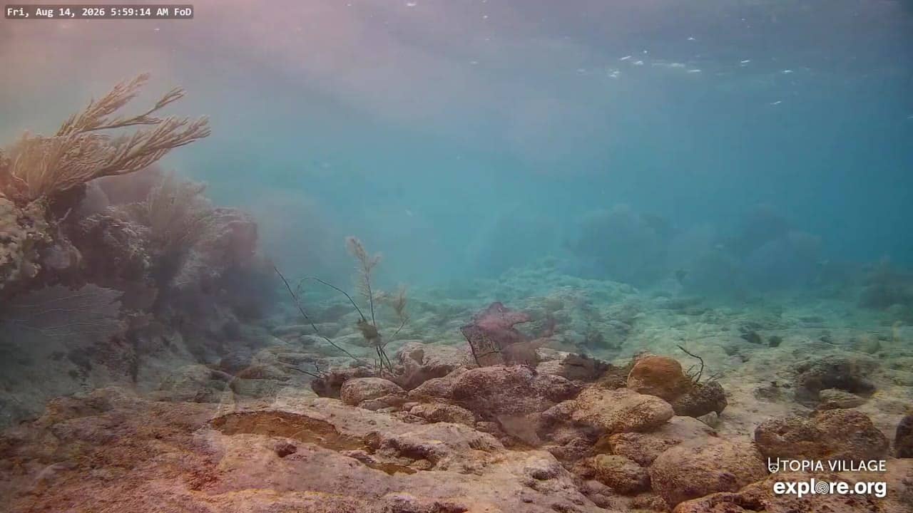
Bay Islands, Honduras — 45 km
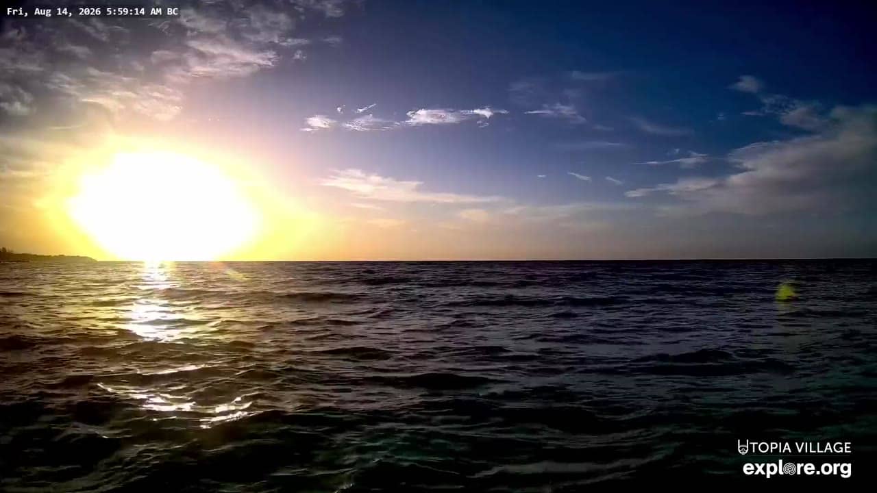
Bay Islands, Honduras — 45 km
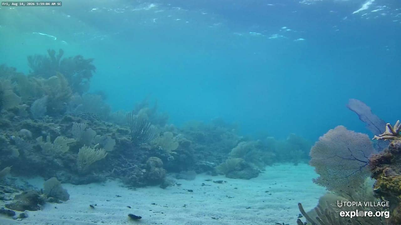
Bay Islands, Honduras — 45 km
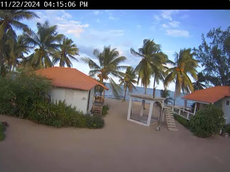
Belize District, Belize — 237 km
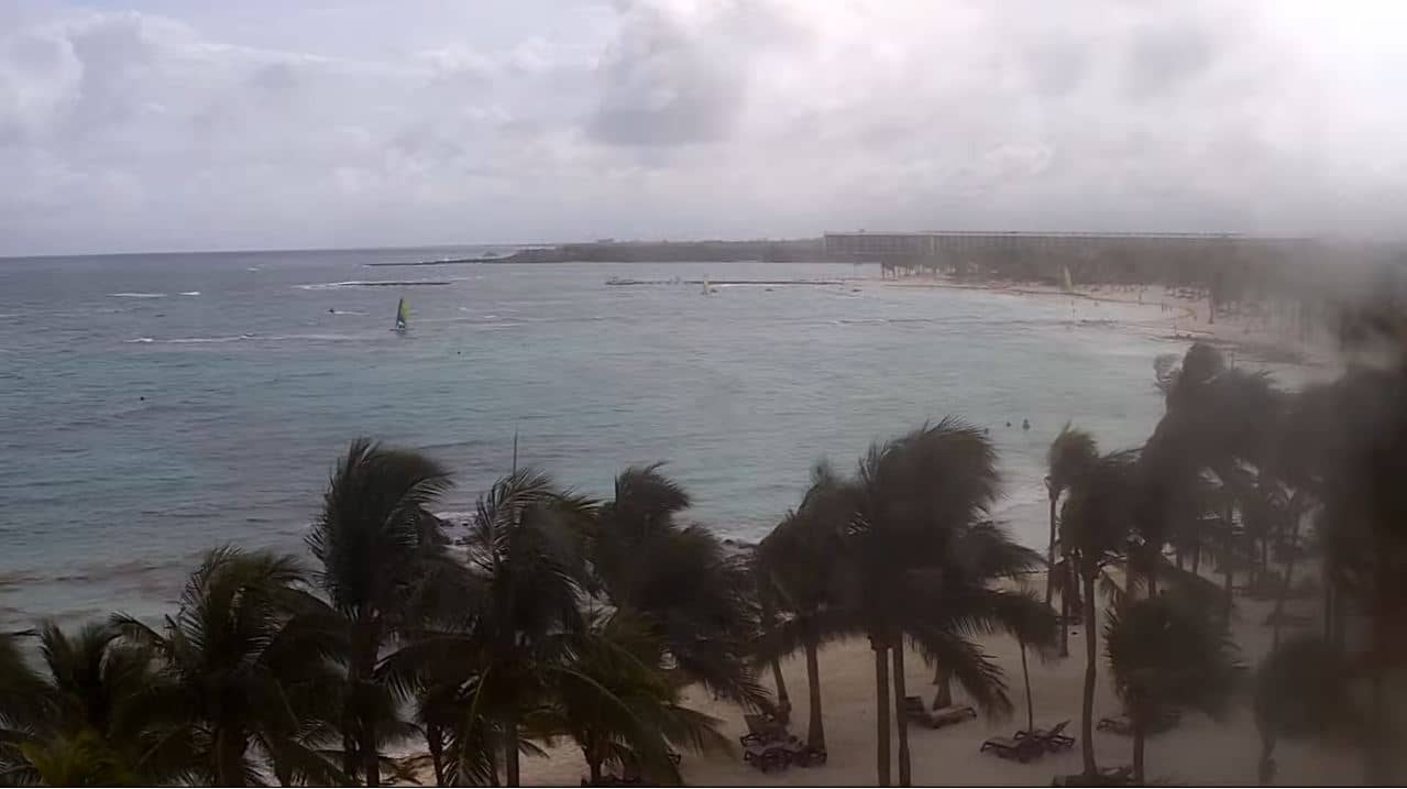
Quintana Roo, Mexico — 470 km

Quintana Roo, Mexico — 481 km
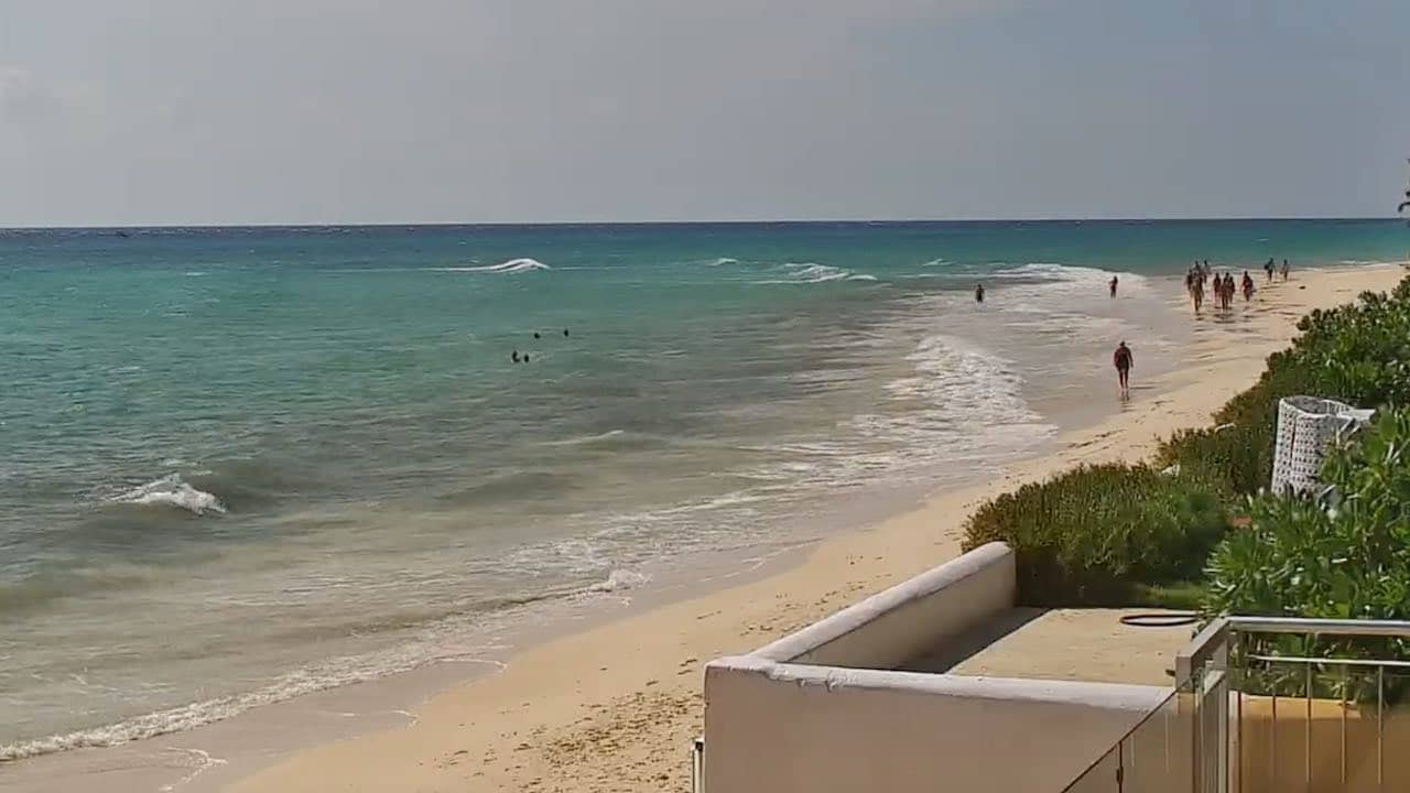
Quintana Roo, Mexico — 483 km
The current conditions and the 3-day forecast are shown in the live weather block on this page. They update alongside the camera so you can compare what the stream shows with the forecast.
The local time is displayed on this page and follows the island's time zone. Use it to plan calls, check opening hours of tours and see whether the day is starting or ending.
The camera is on Roatan, the largest of Honduras' Bay Islands, off the country's north coast. The map on this page marks its position, and nearby cameras are listed below it.
Early morning and late afternoon often give the clearest light and calmest water. Watch during the day to see how clouds and showers develop over the island and the sea.
Partner links: we may earn a commission at no extra cost to you.