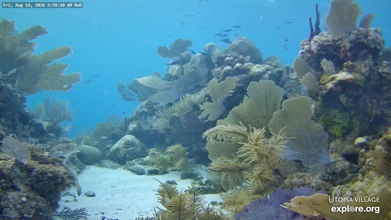
Utila - Back-of-Dock Underwater Reef Cams
Bay Islands, Honduras — 0 km
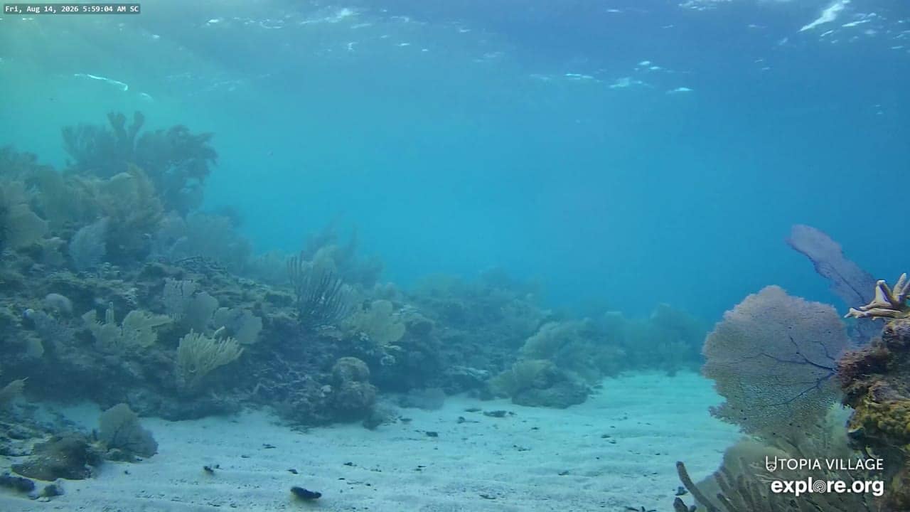
Utila - Sandy Channel Underwater Reef Cam
🇭🇳 Bay Islands · Honduras — Altitude 19 m
This live stream looks down into the shallow waters of Sandy Channel off Utila, one of the Bay Islands in the Caribbean Sea. It is a useful way to see the reef environment and conditions in the water without leaving home. The camera is provided by its owner, and the page shows the live feed alongside local time and weather.
Utila is the smallest of Honduras's Bay Islands, lying off the north coast of the country in the western Caribbean. The island is known for its reefs, its diving and snorkelling culture, and its relaxed, laid-back pace. Its waters sit close to the Mesoamerican Barrier Reef, the second largest reef system in the world. The landscape is low and flat, with mangroves, sandy inlets and a mix of Caribbean and Garifuna influences in the local community.
Because this is an underwater view, the picture depends on water clarity, light and the time of day. Sunlight tends to be strongest and most useful for seeing the reef in the middle of the day, while early morning and late afternoon can bring softer light and changing visibility. Conditions also shift with wind and rain, which can stir up sand or reduce clarity. Check the live view at different times to get a sense of how the water changes.
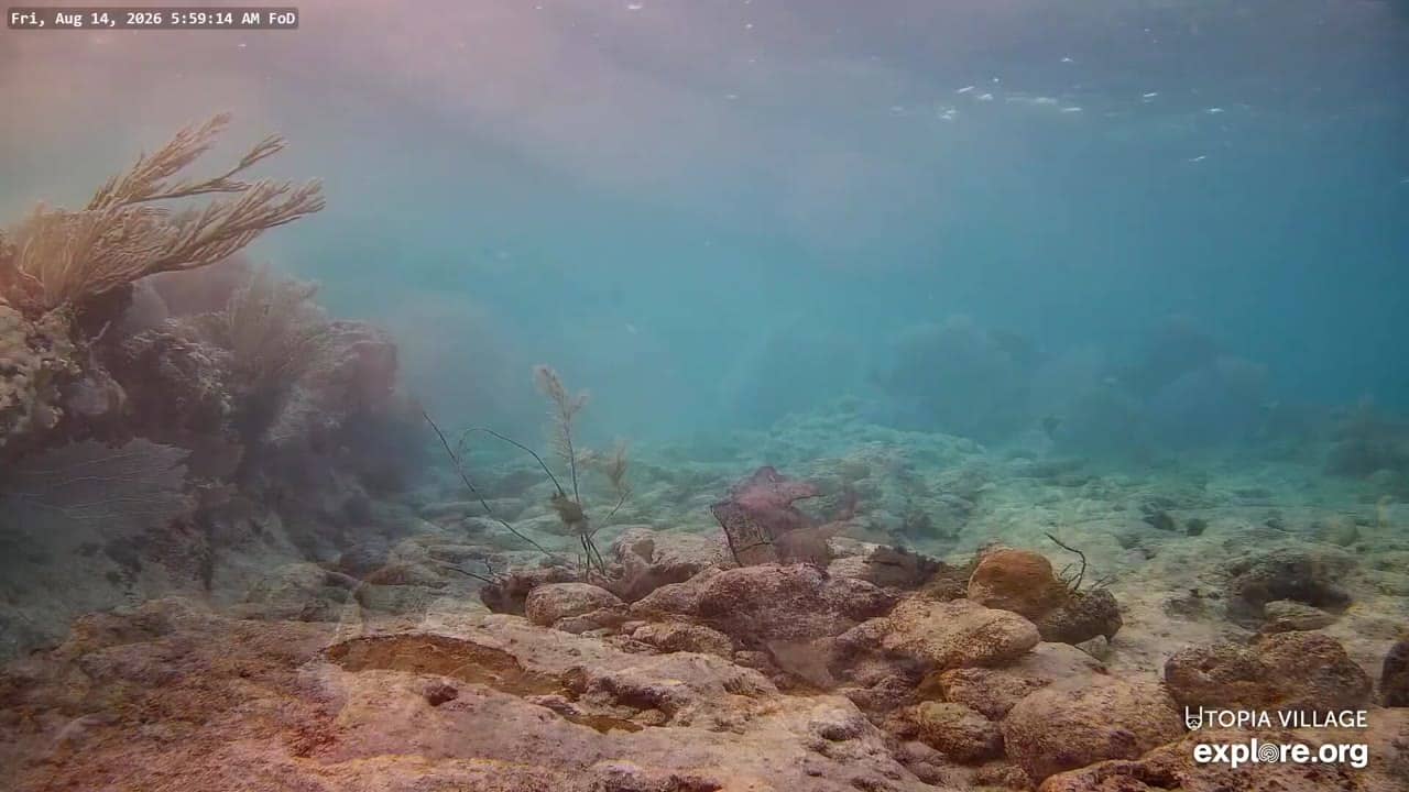
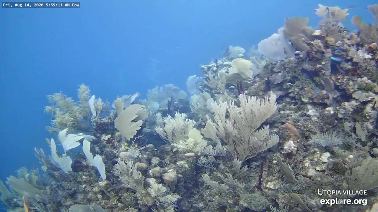
Utila has a tropical climate with warm temperatures through most of the year and a rainy season in the later part of the year, so the weather block on this page is worth checking before you plan a visit. Getting to the island is usually by boat or small plane from the mainland. Other underwater reef cameras on Utila are listed on this page, including the Edge-of-Wall, Back Channel, Back-of-Dock and Front-of-Dock views, which show different parts of the local reef.
Source: explore.org
Bay Islands, Honduras — 0 km
Bay Islands, Honduras — 0 km
Bay Islands, Honduras — 0 km
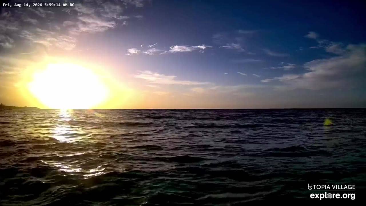
Bay Islands, Honduras — 0 km
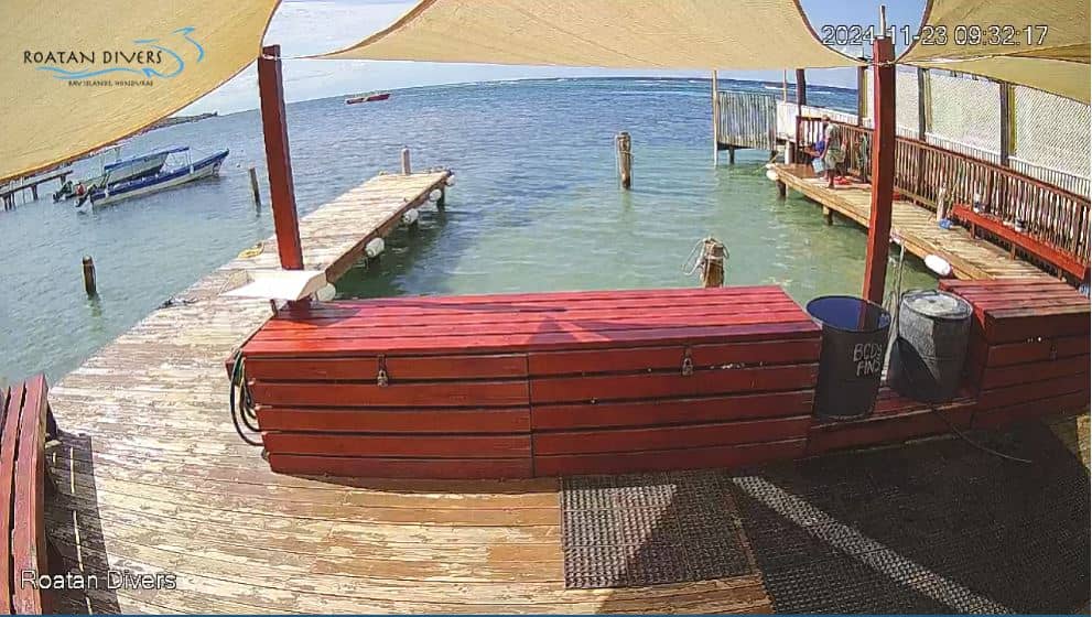
Bay Islands, Honduras — 37 km
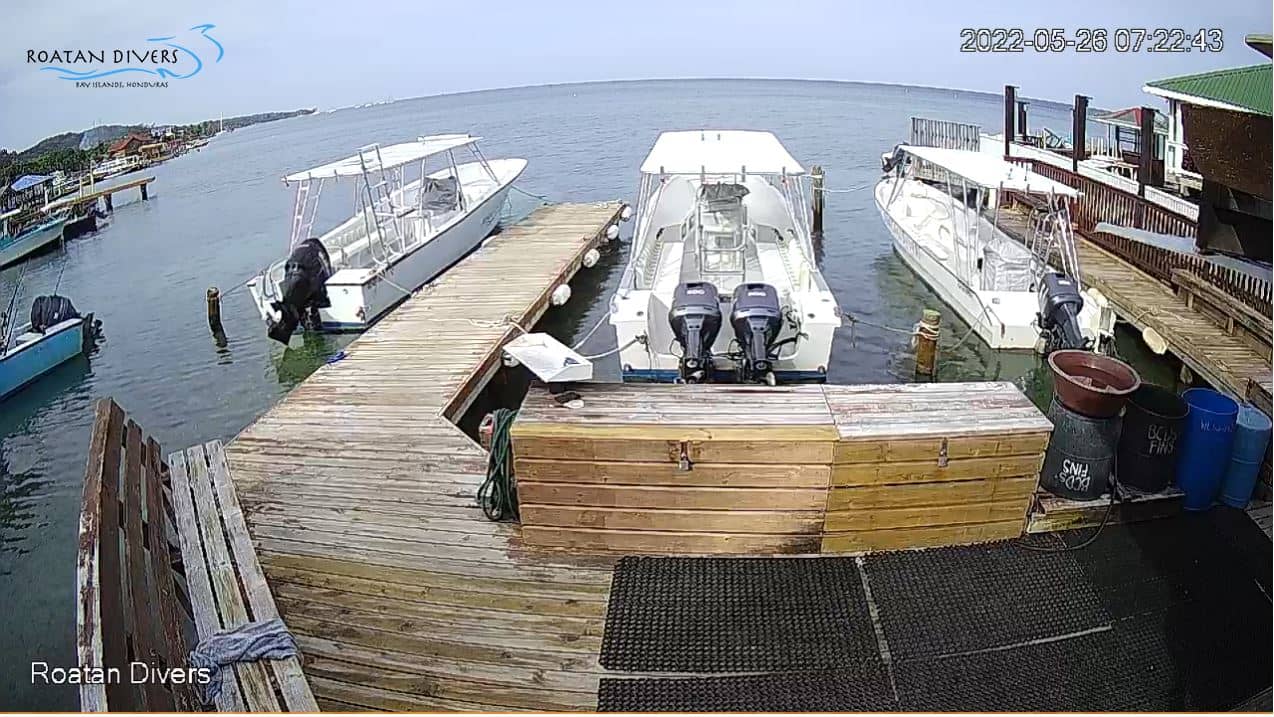
Bay Islands, Honduras — 45 km
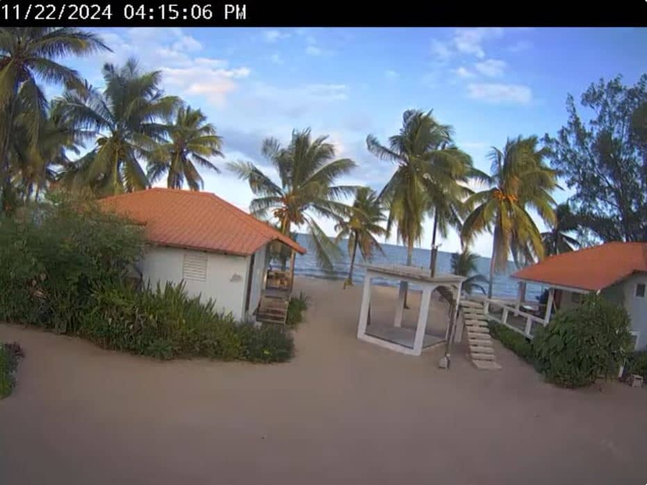
Belize District, Belize — 236 km
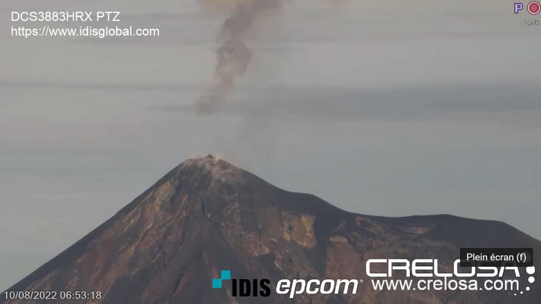
Chimaltenango Department, Guatemala — 465 km
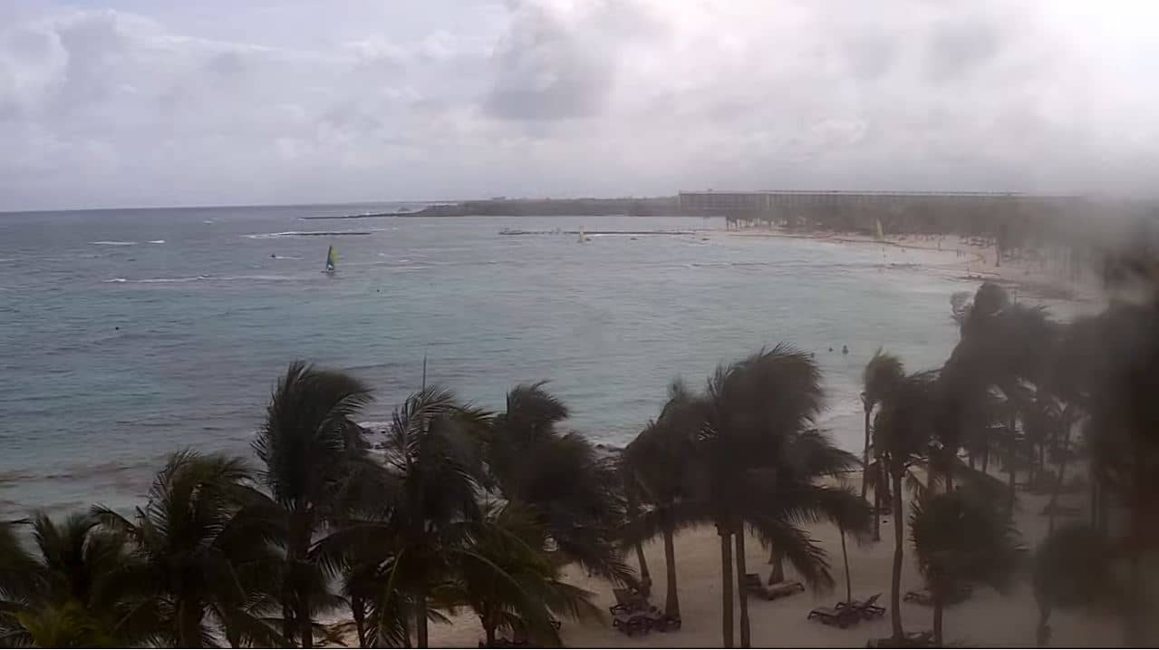
Quintana Roo, Mexico — 489 km

Quintana Roo, Mexico — 501 km
The current conditions and a three-day forecast for Utila are shown in the weather block on this page. Tropical conditions can change quickly, so check it before watching the underwater view.
The local time for Utila is displayed on this page. It follows the local time zone of the Bay Islands, which may differ from your own.
The camera is in the Sandy Channel area of Utila, Bay Islands, Honduras, at approximately 16.1003 north and 86.8966 west. The map on this page shows its position.
Midday usually offers the strongest light for viewing the reef, while morning and afternoon can give softer, changing conditions. Water clarity also depends on wind and rain, so results vary from day to day.
Partner links: we may earn a commission at no extra cost to you.