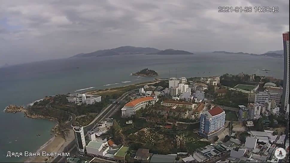
Nah Trang
Khánh Hòa Province, Vietnam — 0.4 km
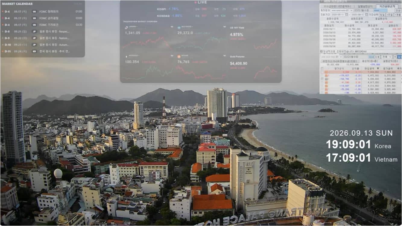
🇻🇳 Khánh Hòa Province · Vietnam — Altitude 10 m
This live stream follows the coastal city of Nha Trang in south-central Vietnam. Open it to see the current view and conditions before you plan a day on the water or a trip along the bay.
Nha Trang is the main seaside city of Khánh Hòa Province, lying on a long bay of the South China Sea. It is known for its sandy beaches, clear water and a lively mix of resorts, markets and seafood restaurants. The city sits close to sea level, so the surrounding landscape is mostly flat coastline backed by low hills and mountains further inland.
The stream is best appreciated during daylight, when sea and sky colours are easiest to judge and beach activity is visible. Early morning often brings calmer water, while late afternoon can show the warm light that draws visitors to the promenade. Because the view depends on the spot being filmed, check the live player to see what is currently in frame.
Nha Trang has a tropical climate with hot, humid conditions most of the year. The dry season, roughly from January to August, is generally the most pleasant time for beach visits, while the wetter months from September to December bring heavier rain and occasional storms. The city is compact, and nearby cameras on this page cover other spots along the coast.
Source: youtube.com
Khánh Hòa Province, Vietnam — 0.4 km
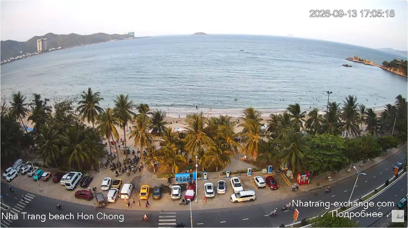
Khánh Hòa Province, Vietnam — 4.4 km

Khánh Hòa Province, Vietnam — 438 km
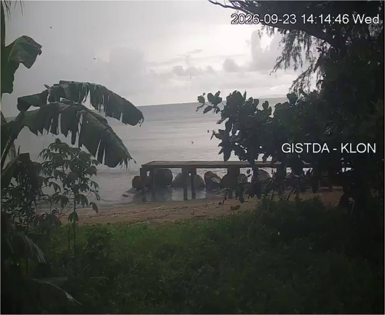
Trat Province, Thailand — 688 km
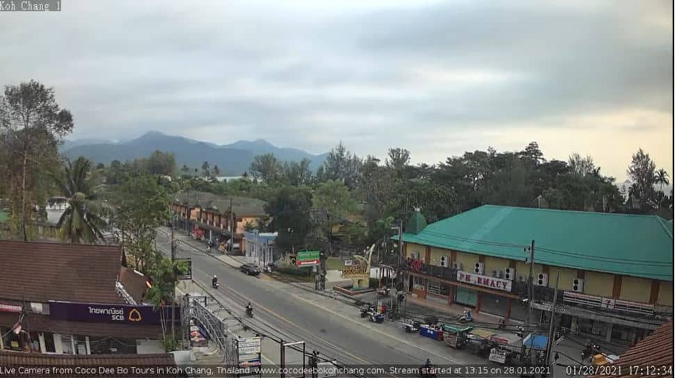
Trat Province, Thailand — 752 km
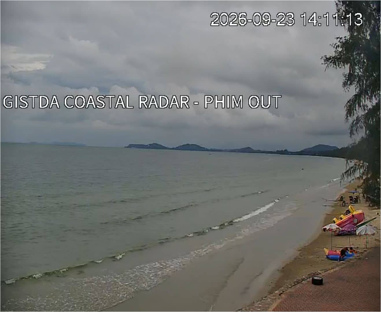
Rayong, Thailand — 824 km
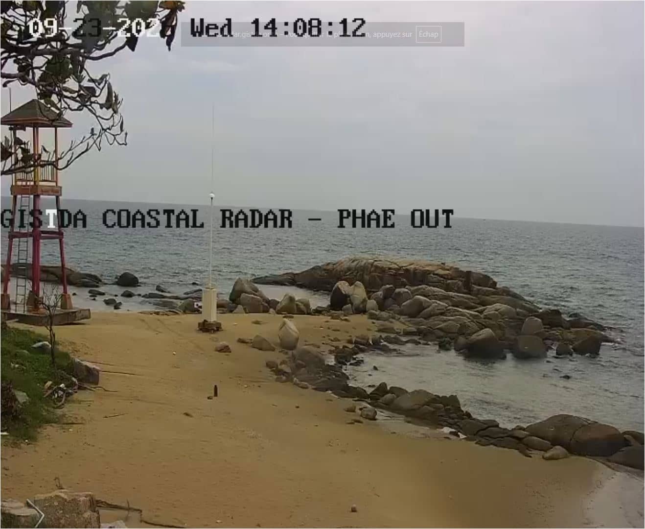
Rayong, Thailand — 846 km
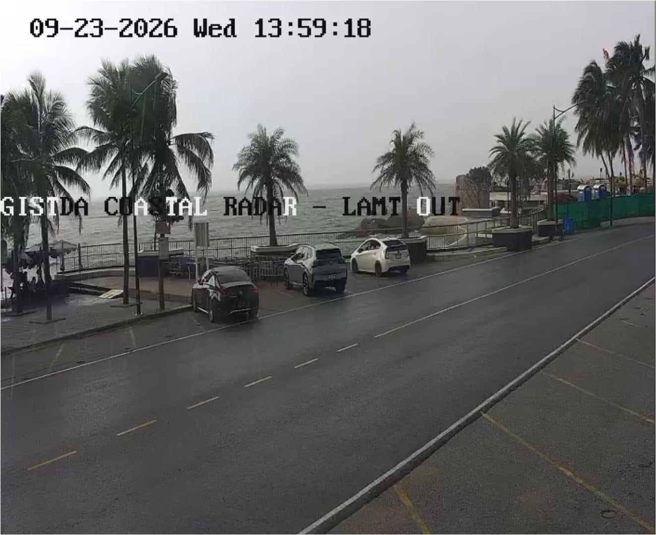
Chon Buri, Thailand — 900 km
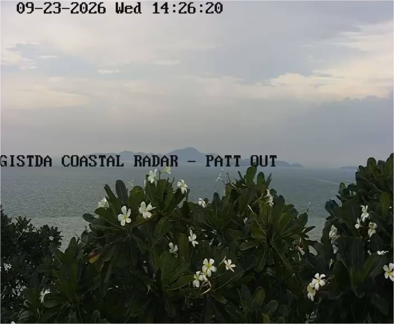
Chon Buri, Thailand — 906 km
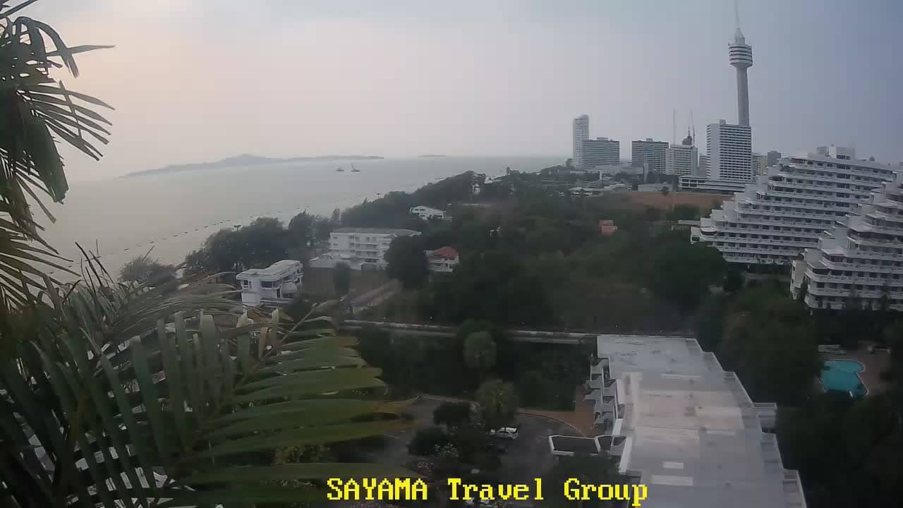
Chon Buri, Thailand — 908 km
The current conditions and a 3-day forecast for Nha Trang are shown in the weather block on this page. They update with the page, so you can check before heading out.
The local time for Nha Trang is displayed on this page and updates live. Vietnam uses a single time zone, so the clock matches the rest of the country.
The camera is located in Nha Trang on the coast of Khánh Hòa Province in south-central Vietnam. The map on this page shows its position and the nearby cameras.
Daylight hours are usually the most useful, since colours and activity are easiest to see. Mornings and late afternoons tend to show the most pleasant light along the water.
Partner links: we may earn a commission at no extra cost to you.