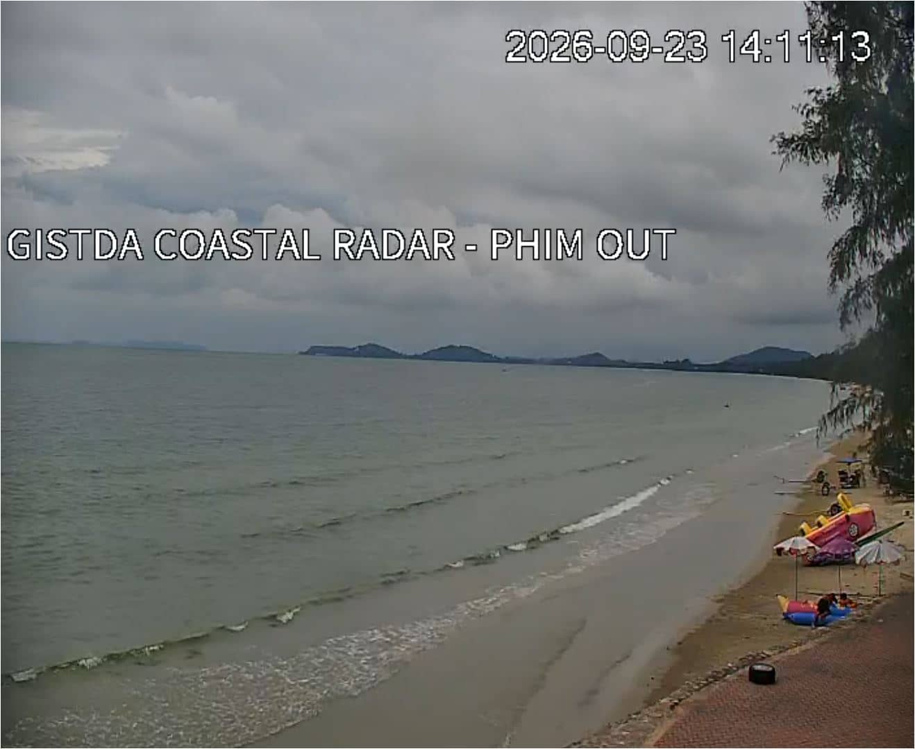
Klaeng - GISTDA Coastal Radar - Mae Phim Out
Rayong, Thailand — 23 km
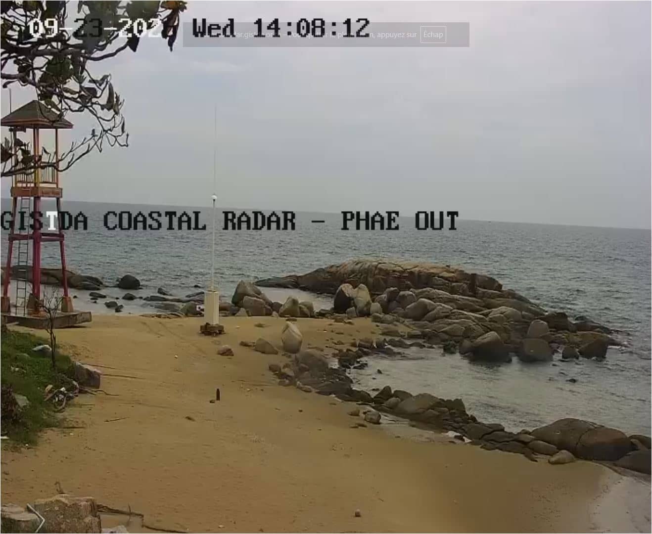
Rayong - GISTDA Coastal Radar - Mae Ram Phueng
🇹🇭 Rayong · Thailand — Altitude 5 m
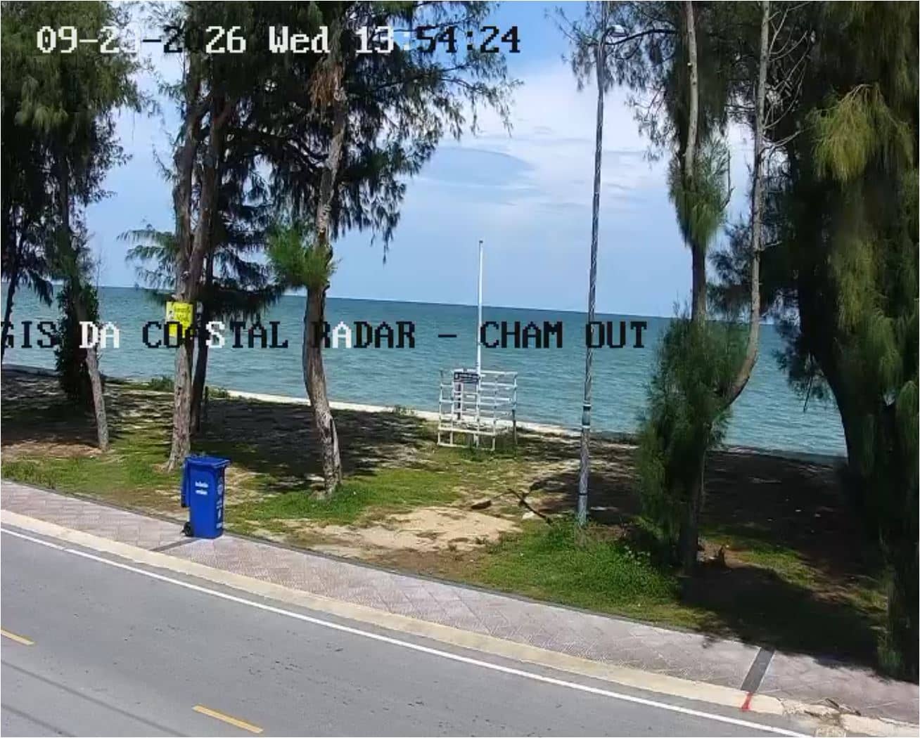
This live stream looks out over the Gulf of Thailand coast near Rayong, an eastern Thai province known for its fishing ports and island-hopping. It suits anyone planning a trip to the Eastern Seaboard or simply wanting to see how the sea and sky look on the coast right now.
Rayong sits on the upper Gulf of Thailand, roughly three hours by road southeast of Bangkok. The province is known for its fishing communities, fresh seafood and as the gateway to the Samet and Kood islands, which are reached by ferry from the nearby piers. The landscape is low and flat along the shore, with mangroves, small beaches and working boats, and the atmosphere is far quieter than the nearby resort town of Pattaya.
The stream comes from a coastal radar station, so the view is oriented toward the water and the shoreline rather than a built attraction. Depending on the viewing direction, you may see fishing boats, cargo traffic on the horizon, changing tides and sea conditions. Early morning is often calm and clear, while the afternoon can bring haze and the southwest monsoon season from May to October can make the sea rougher and cloudier.
Rayong has a tropical climate with hot, humid weather year round. The cooler, drier months from November to February are generally the most comfortable time to visit the coast. Getting around usually means taxis, songthaews or hired vehicles, and the nearby cameras in Klaeng, Pattaya and Bang Saen let you compare conditions further along the same coastline.
Other cameras along the same stretch of the Gulf are listed on this page, including Klaeng at about 23 km and the Pattaya streams at about 69 km. Comparing them can help you see how conditions change from one stretch of coast to the next.
Source: GISTDA
Rayong, Thailand — 23 km
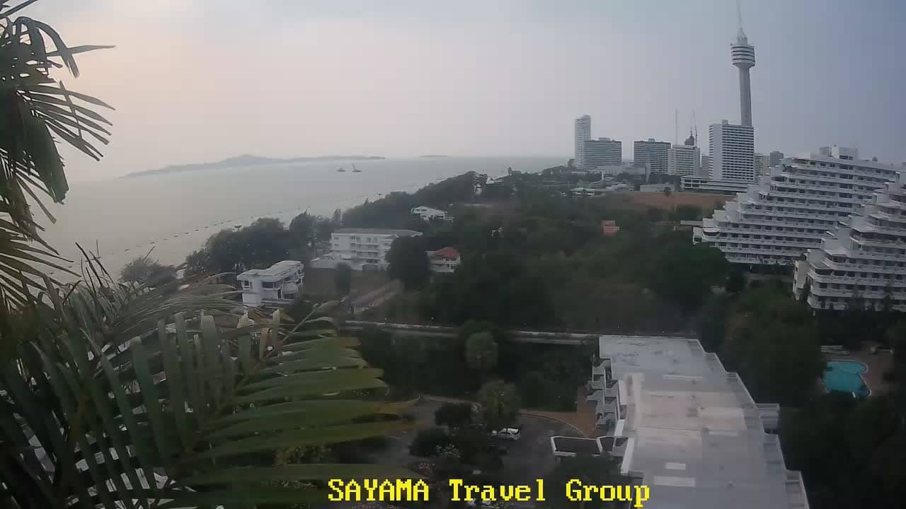
Chon Buri, Thailand — 69 km
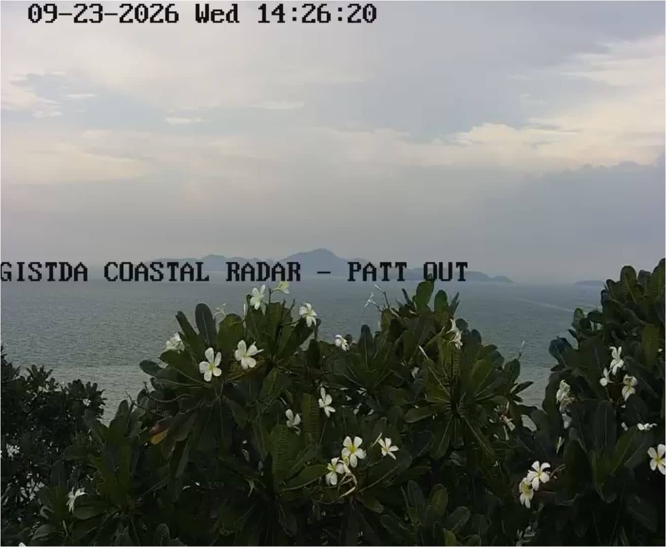
Chon Buri, Thailand — 69 km
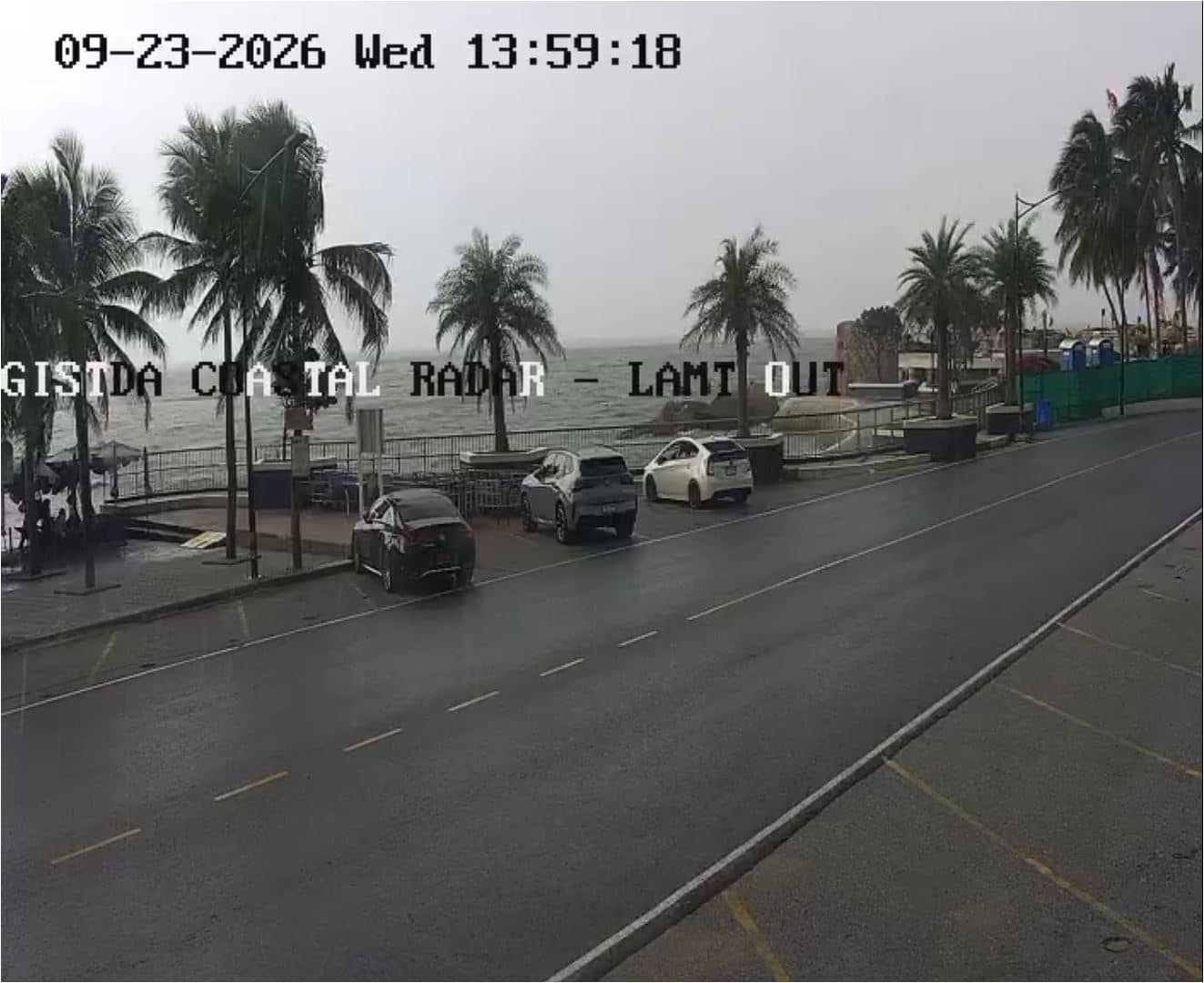
Chon Buri, Thailand — 98 km
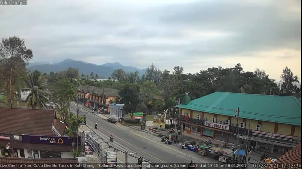
Trat Province, Thailand — 110 km
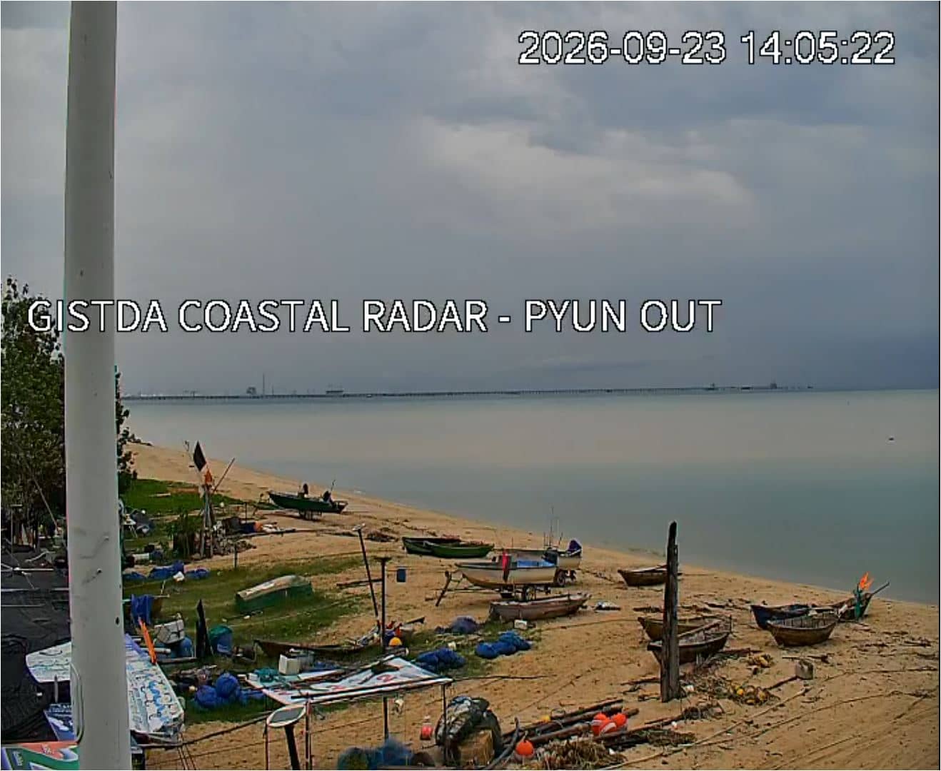
Samut Prakan, Thailand — 133 km
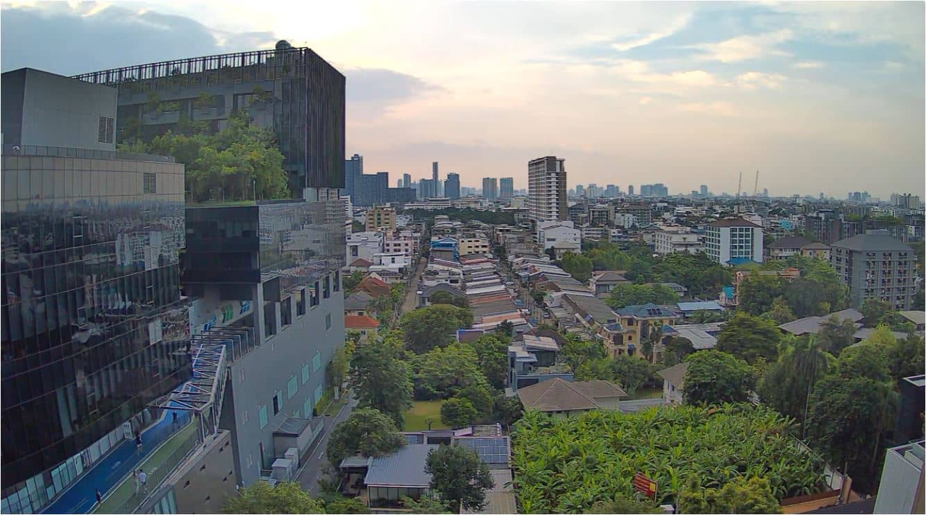
Bangkok, Thailand — 149 km

Prachuap Khiri Khan, Thailand — 158 km
Bangkok, Thailand — 158 km
Phetchaburi, Thailand — 159 km
The current conditions and a three-day forecast for Rayong are shown in the live weather block on this page, updated automatically.
The local time for Rayong is displayed on this page and updates continuously, so you can check it before planning a call or visit.
The camera is at the Mae Ram Phueng coastal site near Rayong in eastern Thailand, and its exact position is marked on the map on this page.
Daylight hours give the clearest view of the water and boats, and calmer weather in the dry season usually makes the sea easiest to see.
Partner links: we may earn a commission at no extra cost to you.