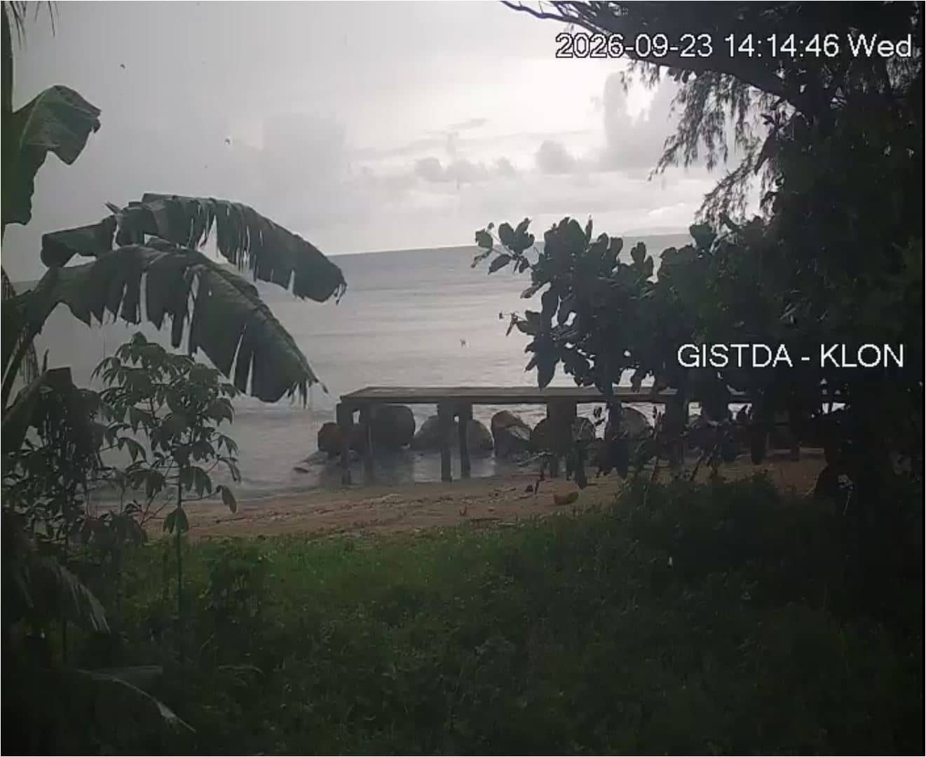
Khlong Yai - GISTDA Coastal Radar
Trat Province, Thailand — 74 km
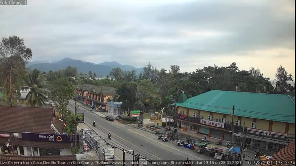
🇹🇭 Trat Province · Thailand — Altitude 10 m
This live stream is set on Koh Chang, the second largest island in Thailand, in the Gulf of Thailand off the Cambodian border. It gives a current view of the island from a source that embeds the stream directly, so you can check conditions before planning a trip or simply see what the sea and sky look like today.
Koh Chang sits in Trat Province, close to the Cambodian frontier, and is known for its mountainous interior covered in rainforest and a long, indented coastline of beaches and bays. Most of the island is national park land, and the west coast is the busiest area for accommodation and dining. Ferries from the mainland port of Laem Ngop bring visitors across, which keeps the island calmer than many of Thailand's larger resort destinations.
Because the page is tied to a coastal stream, the most useful moments are usually daylight hours, when the water and sky are easiest to read. Depending on the view, you may see sea conditions, boat traffic, cloud build-up over the hills and changes in light through the day. Watching in the morning often shows calmer water, while late afternoon can bring clouds and sunset colours. Check the weather block on this page alongside the picture.
Koh Chang has a tropical climate with a hot season from March to May, a rainy season roughly from June to October, and a drier, cooler period from November to February. Heavy rain and rougher seas are more common in the wet months, when some boats may run less often. Nearby cameras on the coast, including Khlong Yai and Pattaya, cover other parts of the Gulf and can help you compare conditions.
Source: Coco Dee Bo Koh Chang
Trat Province, Thailand — 74 km
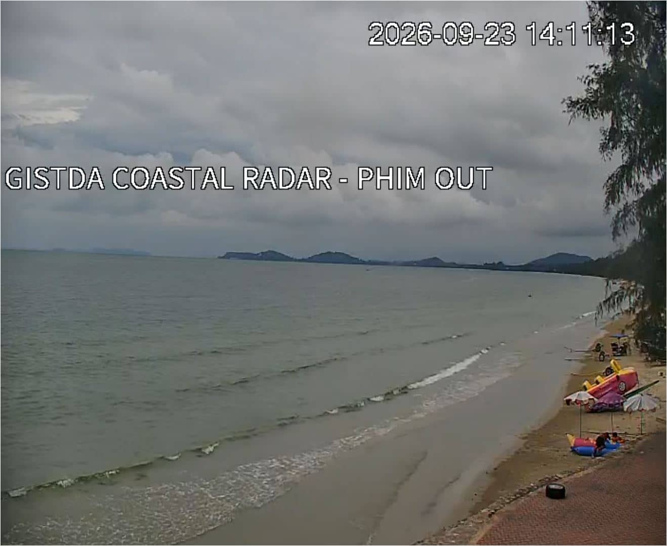
Rayong, Thailand — 96 km
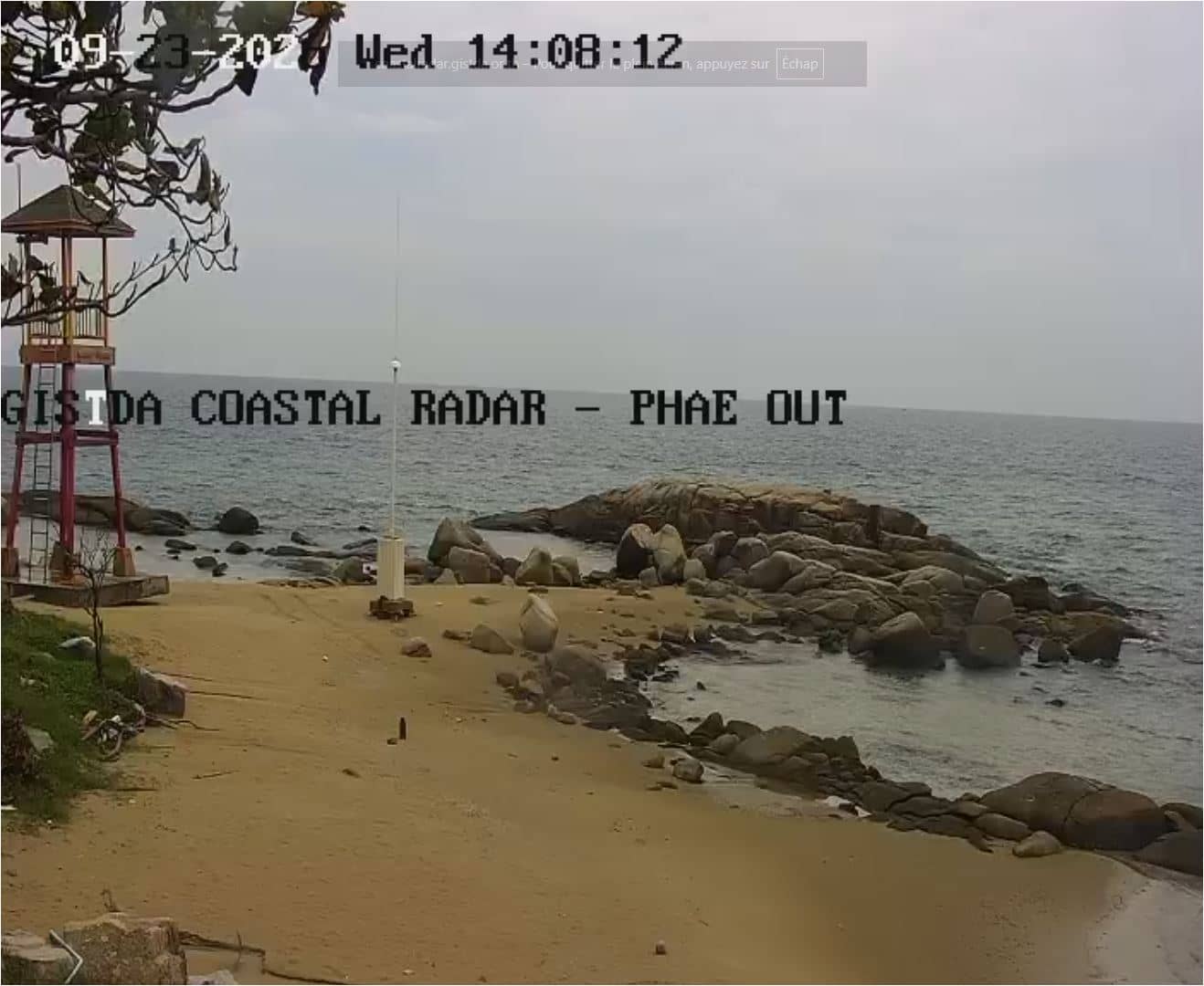
Rayong, Thailand — 110 km
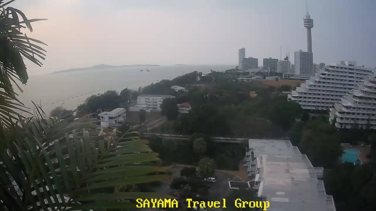
Chon Buri, Thailand — 179 km
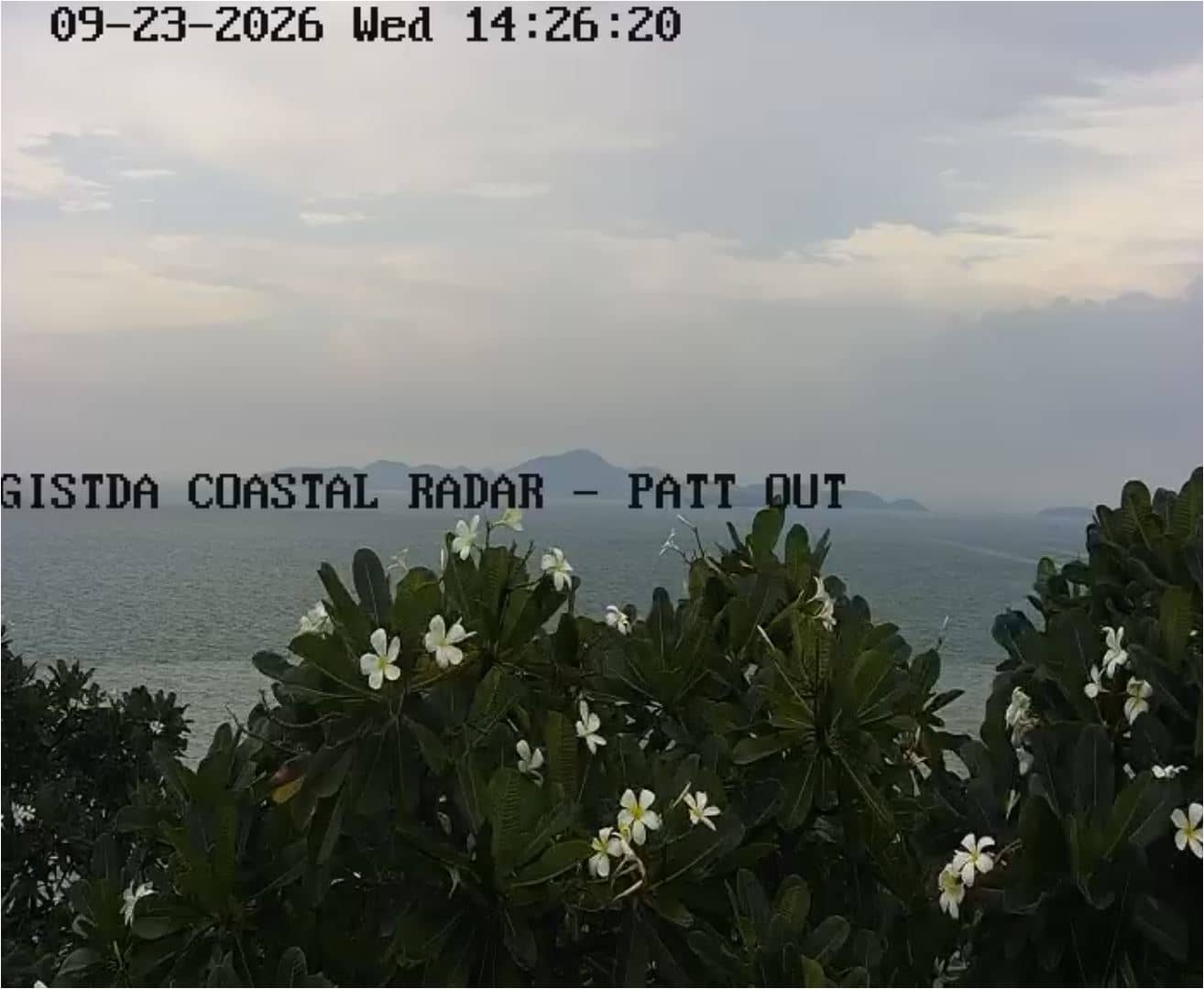
Chon Buri, Thailand — 180 km
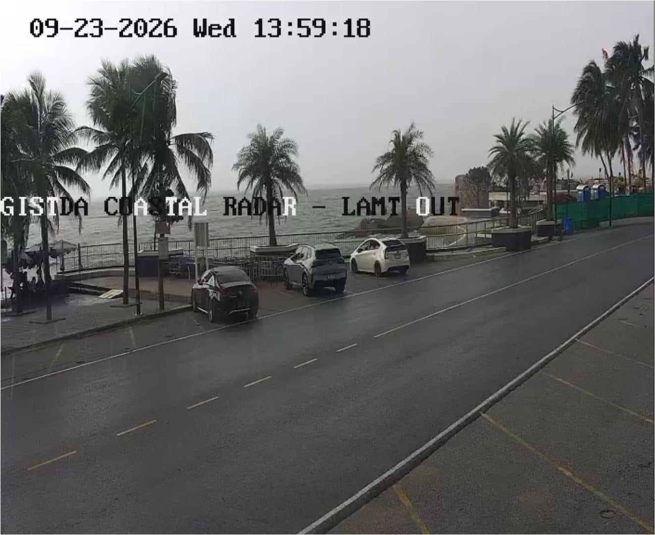
Chon Buri, Thailand — 201 km
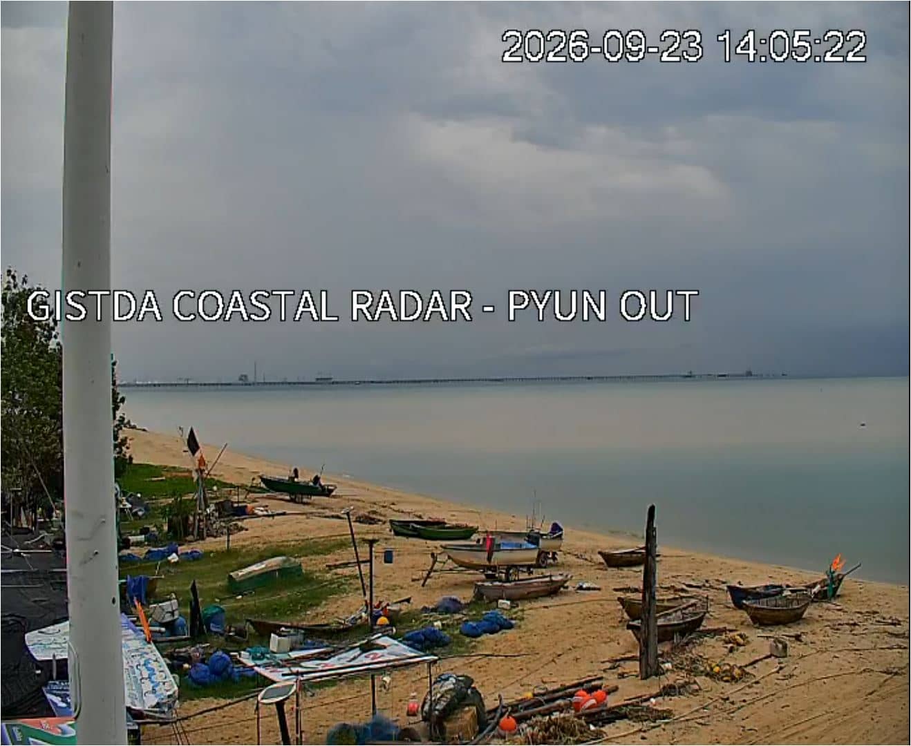
Samut Prakan, Thailand — 239 km
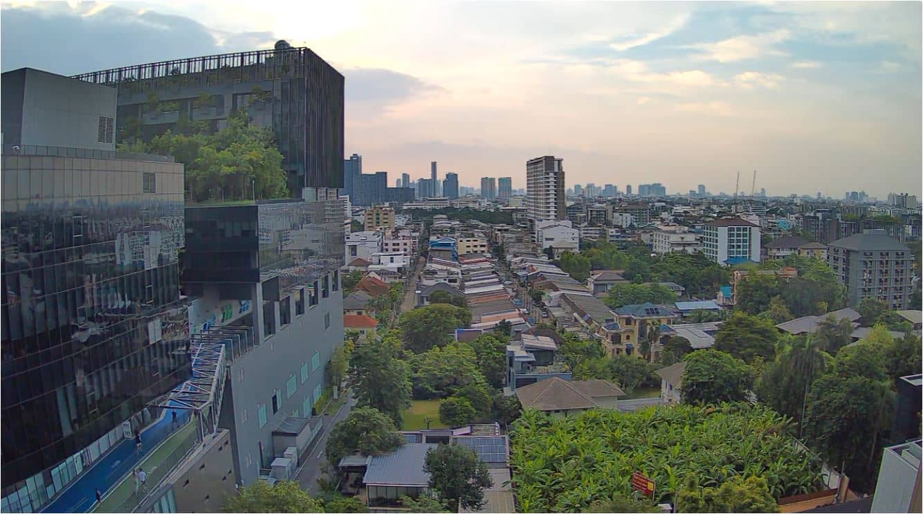
Bangkok, Thailand — 255 km

Prachuap Khiri Khan, Thailand — 258 km
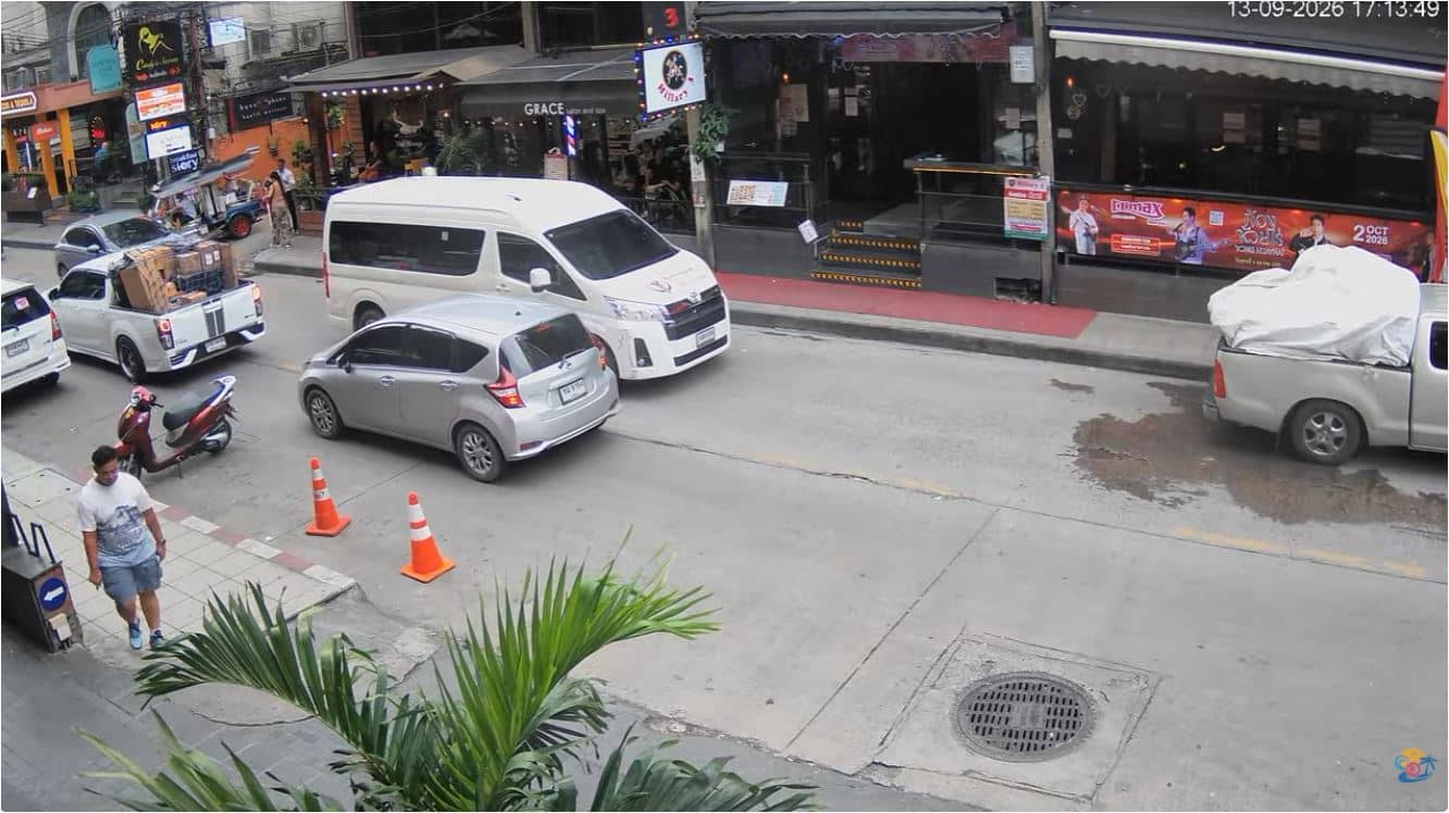
Bangkok, Thailand — 264 km
The current conditions and a 3-day forecast for Koh Chang are shown in the weather block on this page. They update with the page, so check there rather than relying on older information.
The local time for Koh Chang is displayed on this page and follows Thailand's time zone, which is the same across the country. Use the clock on the page to compare with your own time.
The camera is on Koh Chang island in Trat Province, eastern Thailand, close to the Cambodian border. A map on the page marks its position so you can see how the island sits in the Gulf of Thailand.
Daylight hours are generally the most informative, especially the morning for calmer water and late afternoon for sunset light. Watching during the dry season from November to February often gives clearer skies.
Partner links: we may earn a commission at no extra cost to you.