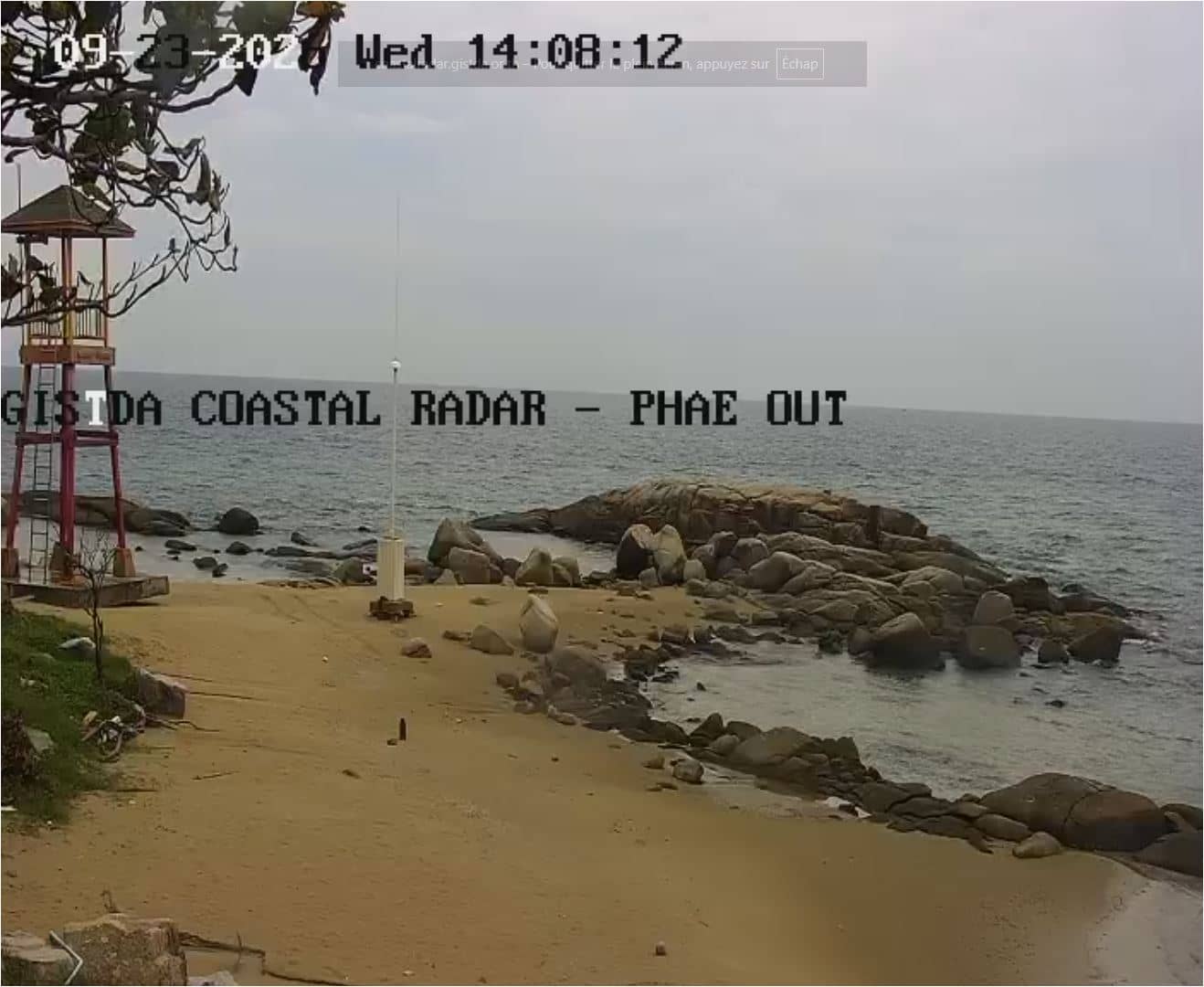
Rayong - GISTDA Coastal Radar - Mae Ram Phueng
Rayong, Thailand — 23 km
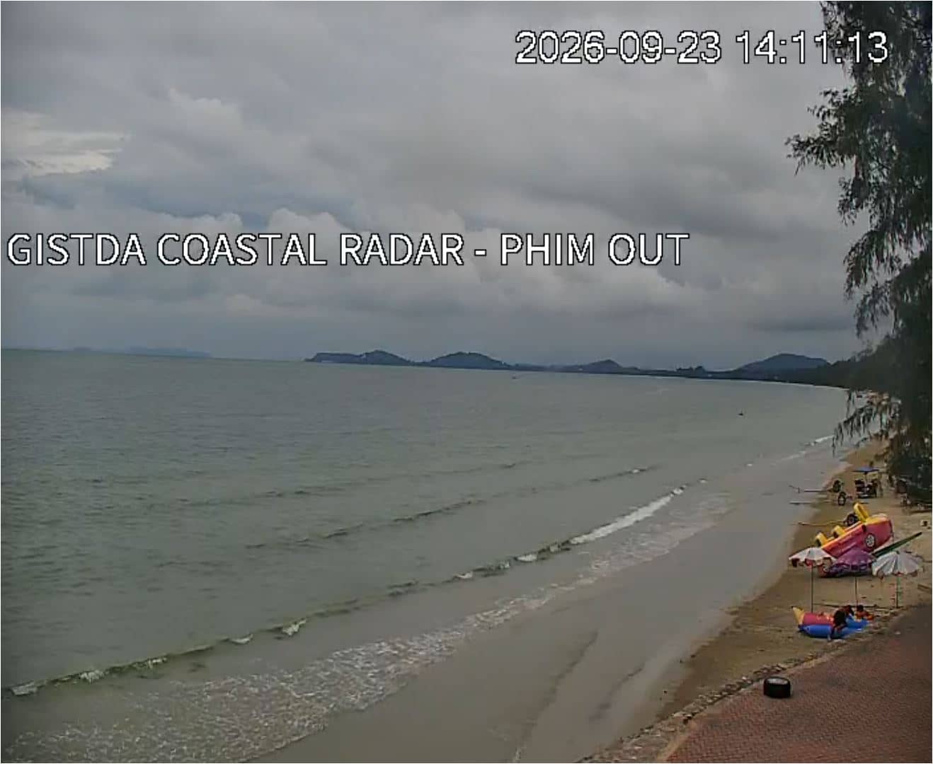
Klaeng - GISTDA Coastal Radar - Mae Phim Out
🇹🇭 Rayong · Thailand — Altitude 5 m
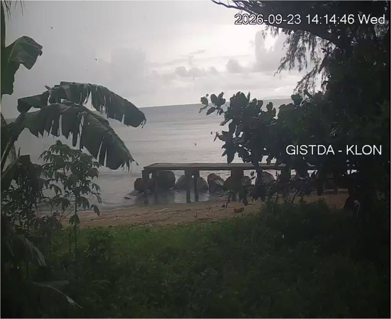
This live feed from Klaeng looks out over the Gulf of Thailand coast in Rayong Province, operated as a coastal radar station by GISTDA. It is useful for anyone checking sea and sky conditions on this stretch of the eastern seaboard before heading out.
Klaeng is a district town in Rayong Province, on the eastern coast of Thailand, roughly a couple of hours southeast of Bangkok by road. The area is known for its fruit orchards, fishing communities and the long, low-lying shoreline that stretches toward the Gulf of Thailand. The landscape is mostly flat, with coconut palms and mangroves near the water, giving the coast a quiet, working character compared with busier resort towns further along the seaboard.
The title identifies this as a coastal radar installation at Mae Phim Out, so the view is aimed at the sea and shoreline rather than at a town street. Depending on the angle and weather, you may see fishing boats, the water surface and changing cloud cover over the gulf. Early morning tends to be calm and clear, while afternoon thunderstorms in the wet season can change the view quickly. Check the local time and weather blocks on this page before you judge conditions.
Thailand's eastern coast is hot and humid most of the year, with a rainy season roughly from May to October and a drier, cooler period from November to February, which is generally the most comfortable time to visit. Klaeng is a convenient base for exploring Rayong's coast. Other live views nearby include the Rayong Mae Ram Phueng coastal radar, about 23 km away, and the Pattaya coastal radar, about 86 km away.
Source: GISTDA
Rayong, Thailand — 23 km
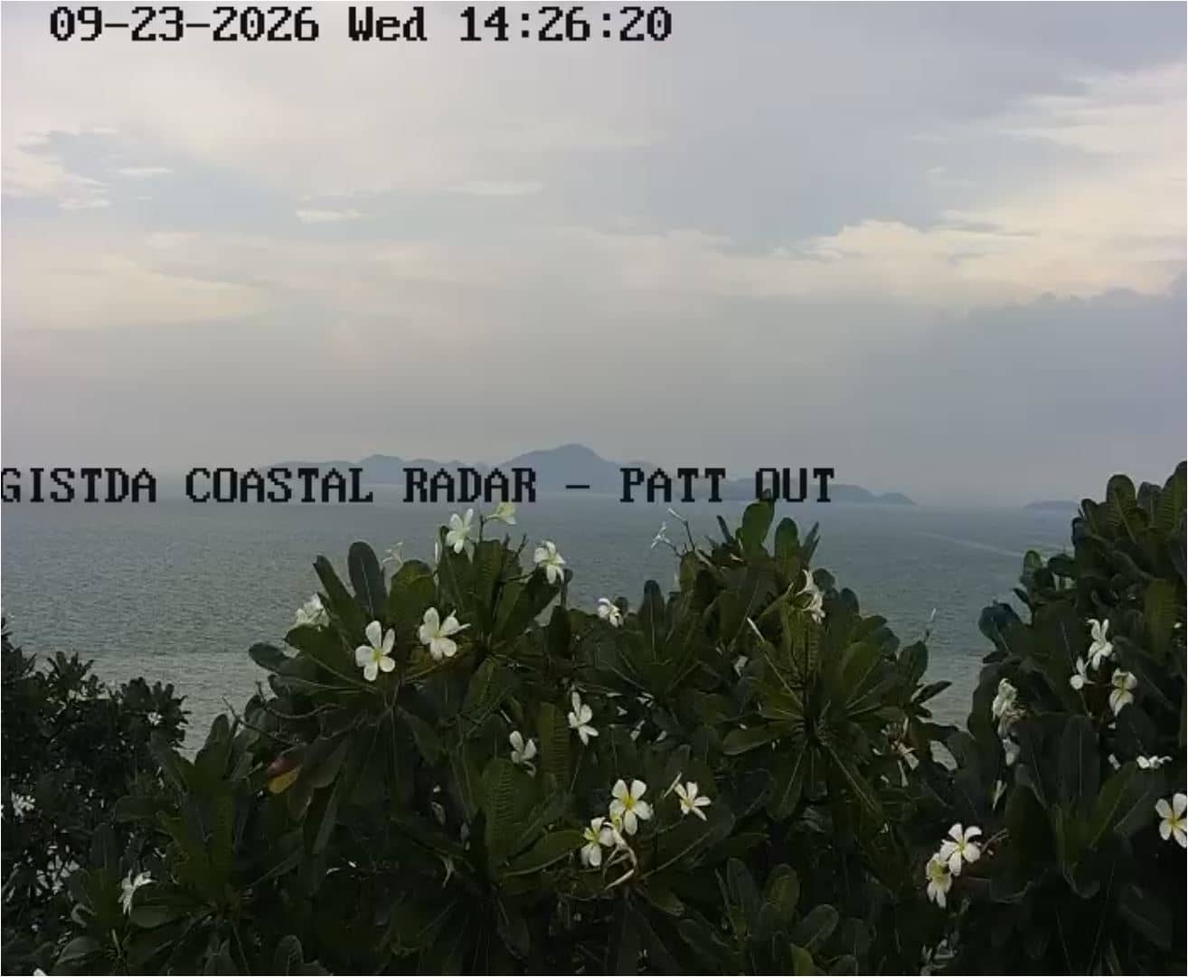
Chon Buri, Thailand — 86 km
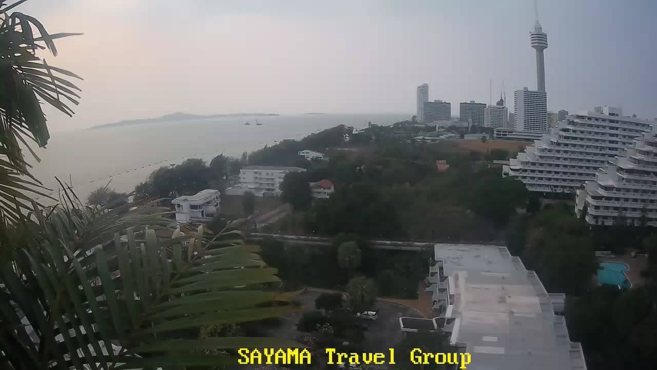
Chon Buri, Thailand — 87 km
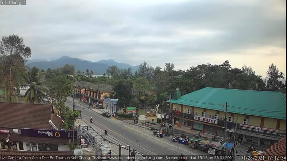
Trat Province, Thailand — 96 km
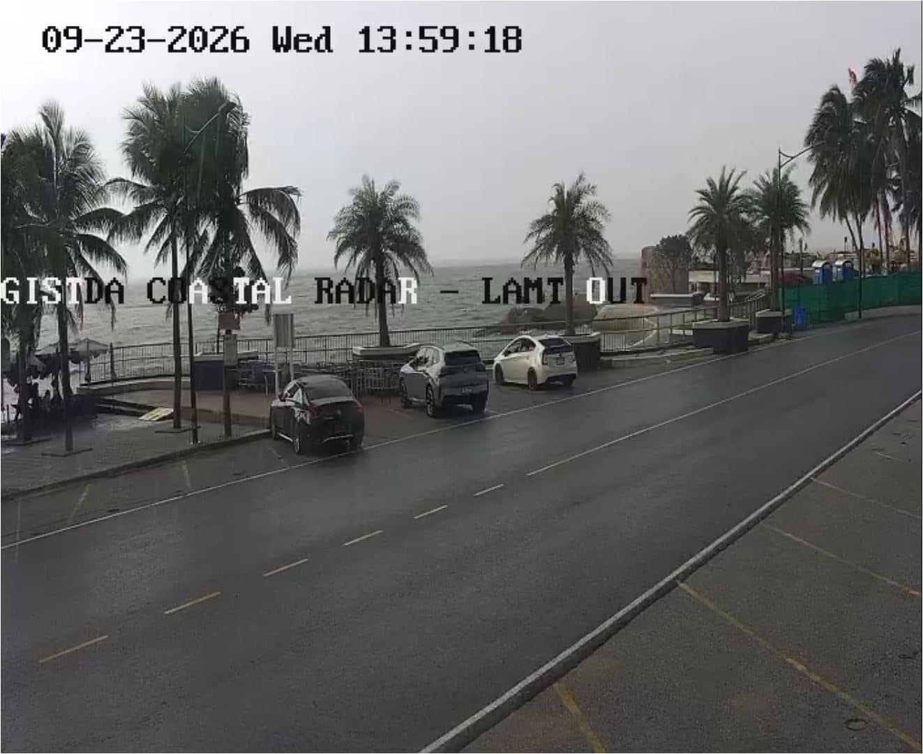
Chon Buri, Thailand — 105 km
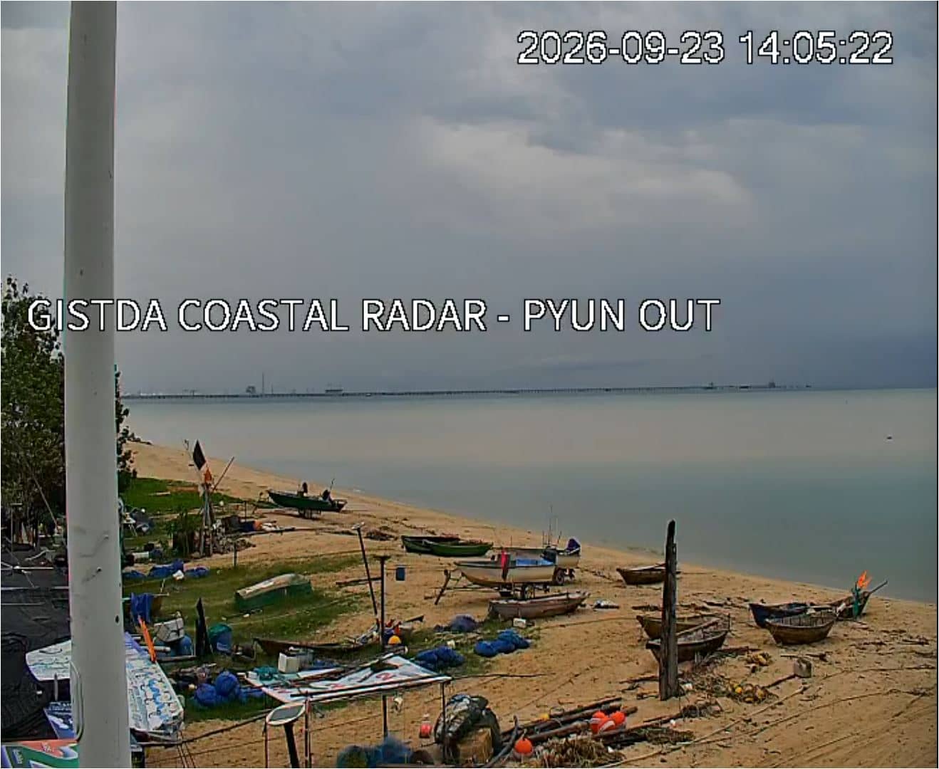
Samut Prakan, Thailand — 143 km
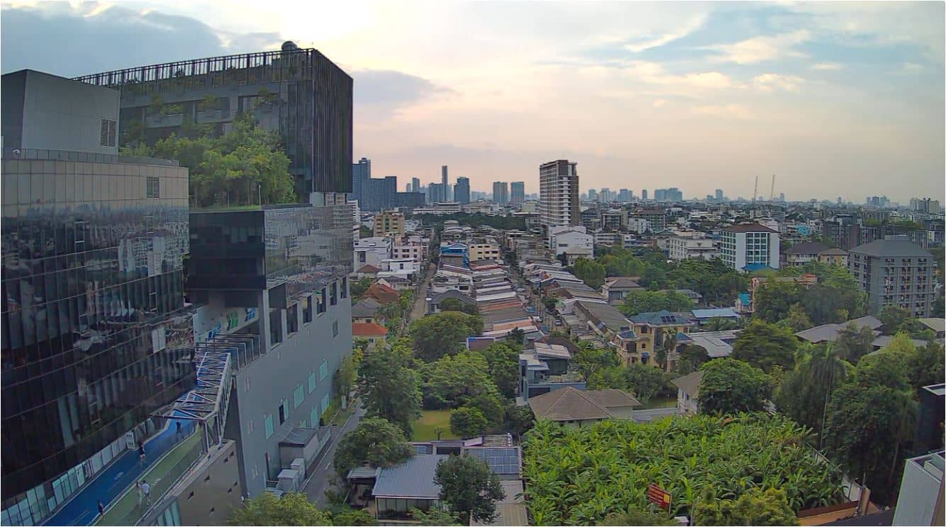
Bangkok, Thailand — 159 km
Bangkok, Thailand — 167 km
Bangkok, Thailand — 168 km
Trat Province, Thailand — 168 km
The current conditions and a three-day forecast for Klaeng are shown in the weather block on this page. They update with the page, so you can check temperature, cloud and rain before you watch the stream.
The local time for Klaeng is displayed on this page and follows Thailand's time zone. It is useful for planning when to watch the coastal view for daylight or calmer conditions.
The camera is in the Klaeng area of Rayong Province on Thailand's eastern Gulf coast. The map on this page shows its position relative to the coastline and nearby towns.
Early mornings are usually calm and clear, while the dry season from November to February offers the most stable weather. During the rainy season, afternoon storms can alter the view within minutes.
Partner links: we may earn a commission at no extra cost to you.