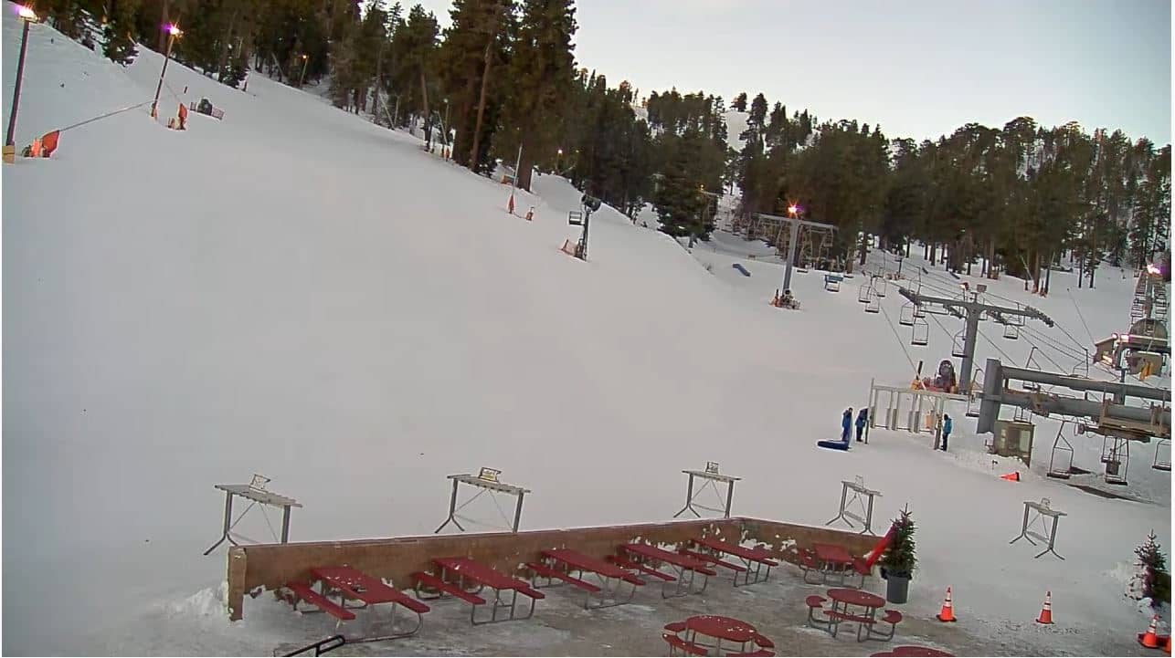
Mountain High Resort - West Base
California, United States — 1.7 km
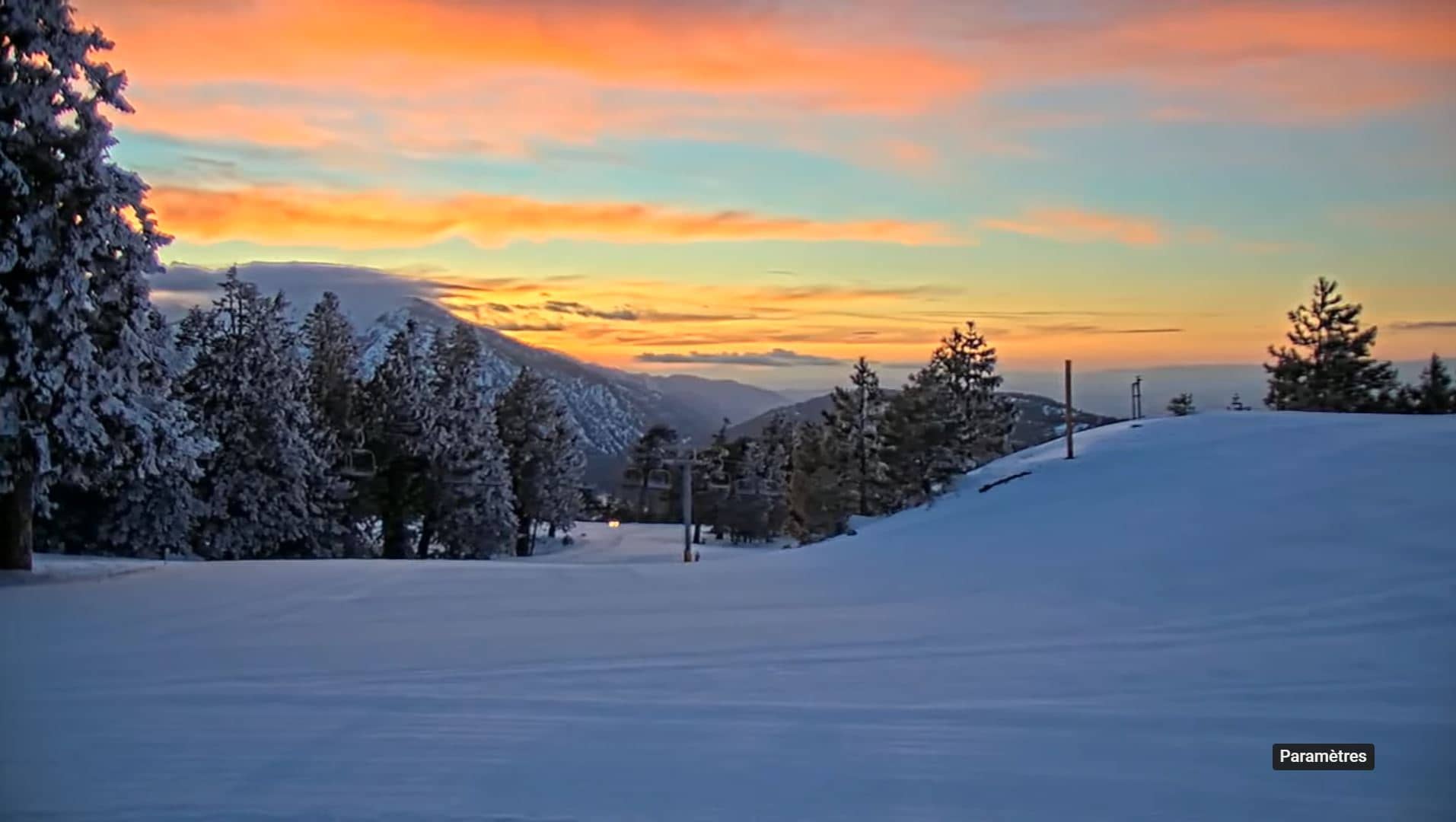
Mountain High Resort - Borderline
🇺🇸 California · United States — Altitude 2109 m
This live camera looks out over Mountain High Resort, a ski area in the San Gabriel Mountains above the Inland Empire of Southern California. It is useful for seeing how the slopes look right now, whether snow has settled, and how the weather is changing at about 2,100 metres.
Mountain High sits in the San Gabriel Mountains, a range that rises sharply behind the Los Angeles basin and the high desert towns to the north. The resort is one of the closer winter destinations to the Los Angeles metropolitan area, which is why it draws day visitors. The surrounding terrain is pine and chaparral, with granite ridges and deep canyons. The altitude means the scenery can change quickly, from clear desert air at the foot of the range to snow and wind on the upper slopes.
Because the view is titled after the resort's Borderline area, it is likely to show slopes and the upper terrain rather than the town. Check it on clear mornings, when visibility is best, and after storms, when fresh snow may be visible. On winter weekends the lifts and runs are usually busiest, so the picture gives a quick sense of crowding. Conditions can shift sharply during the day, so the live view is most useful just before you leave home.
Winter brings the most snow, and the resort operates mainly in the colder months, though exact opening days depend on the season and weather. Summers in the mountains are mild while the lowlands are hot. Nearby cameras on this site include the West Base view, the Cajon Pass summit and the Oro Grande view over the I-15 corridor, which help you judge road and weather conditions on the way up.
Source: Big Pines California webcam
California, United States — 1.7 km
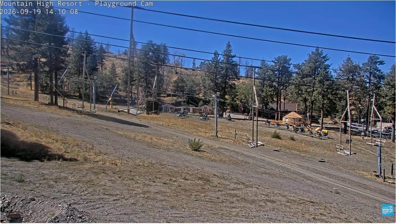
California, United States — 6.1 km
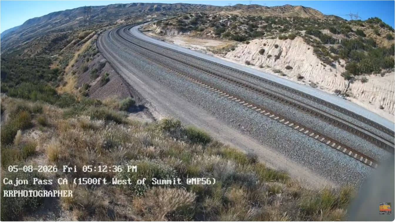
California, United States — 25 km
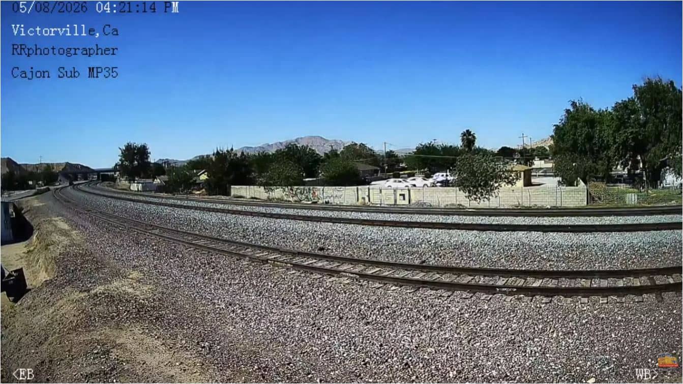
California, United States — 41 km
California, United States — 42 km
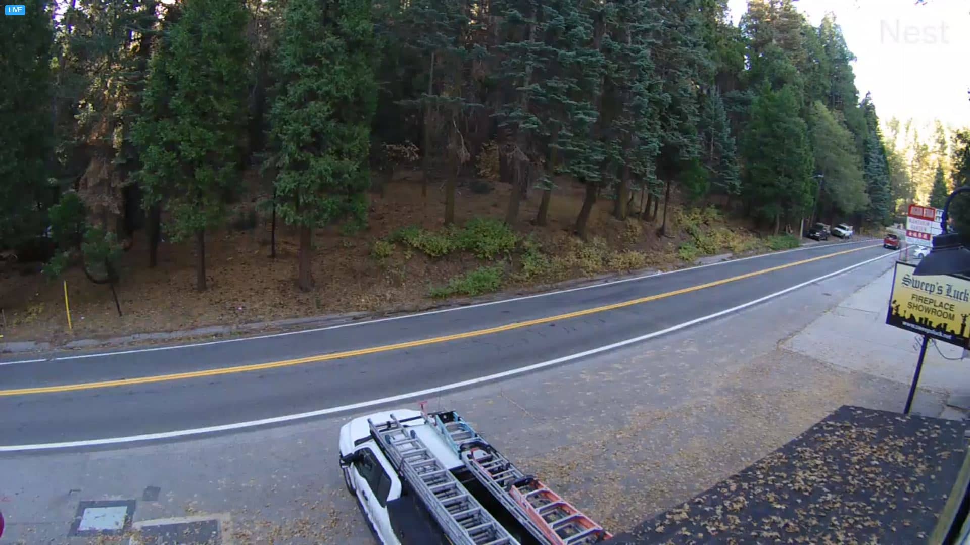
California, United States — 46 km

California, United States — 48 km
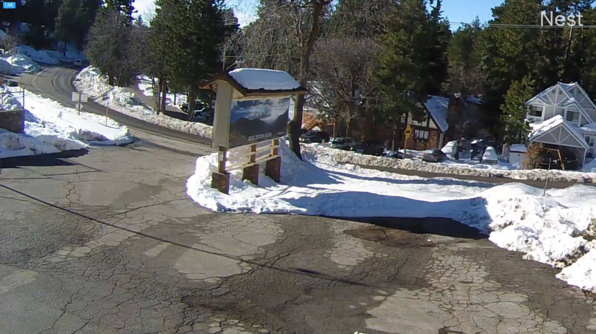
California, United States — 55 km

California, United States — 62 km
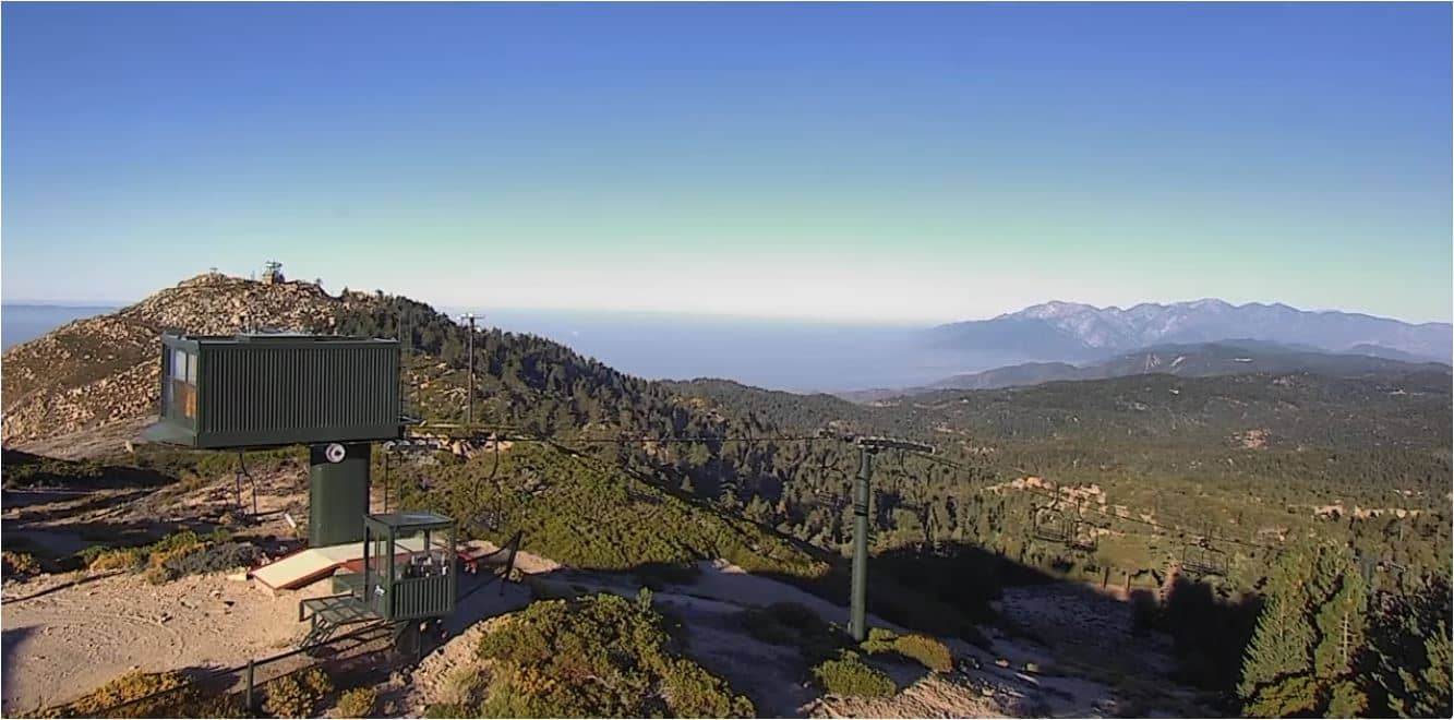
California, United States — 63 km
The current conditions and a three-day forecast are shown in the live weather block on this page. Mountain weather changes quickly, so check it again before you set out.
The local time for the resort is shown on this page and follows Pacific time. It updates automatically while the page is open.
The camera is at Mountain High Resort in the San Gabriel Mountains of California, at roughly 2,100 metres altitude. The map on this page marks its position.
Clear winter mornings are usually best for seeing snow cover and the slopes, and days after a storm show the most change. Weekends in the ski season show the most activity on the runs.
Partner links: we may earn a commission at no extra cost to you.