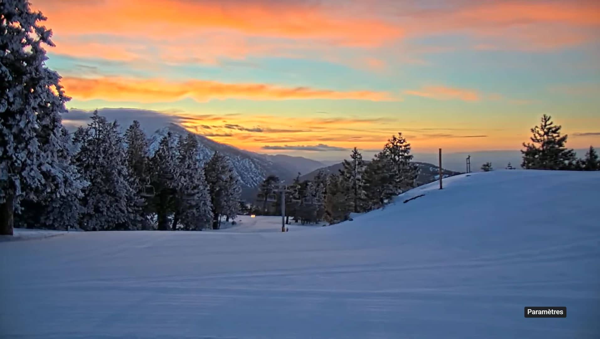
Mountain High Resort - Borderline
California, United States — 1.7 km
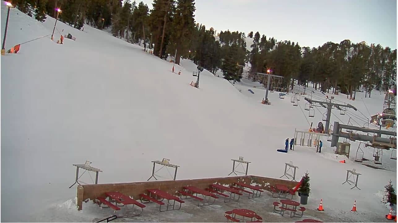
Mountain High Resort - West Base
🇺🇸 California · United States — Altitude 2011 m
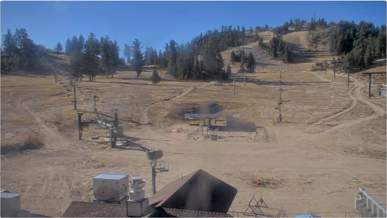
This live stream looks over the west base of Mountain High Resort, a ski area in the San Gabriel Mountains above Wrightwood. It is useful for seeing how conditions look at the foot of the slopes before deciding whether to make the drive up the mountain. The page adds current weather and the local time next to the video.
Mountain High sits in the San Gabriel Mountains of Southern California at roughly 2,000 metres above sea level, a short climb above the high desert town of Wrightwood. The range rises sharply from the Mojave Desert to the north, so the resort gets a noticeably cooler and wetter climate than the valleys below. Pines and open slopes surround the base area, and the mountain is a common winter escape for residents of the Los Angeles and Inland Empire region.
The title names the west base, so the view is most likely of the lower lifts, parking and approach roads rather than the summit runs. Depending on the angle, you may see whether snow is settling on the ground, how heavy traffic is on the access road, and what the sky is doing over the ridge. Mid-morning, when the sun clears the slopes, is often the clearest time to watch. Conditions can change quickly with mountain weather, so the live feed is most helpful shortly before you travel.
Winter brings the most snow and the ski season, while summer is cooler than the desert and suited to hiking. Weather at this altitude can differ a lot from the valleys, so check the current conditions on this page before you set off. If you want a broader picture, the nearby cameras include Mountain High Resort Borderline, about 2 km away, and the Cajon Pass summit view, about 23 km off, which show other parts of the same mountain corridor.
Source: Wrightwood webcam live
California, United States — 1.7 km
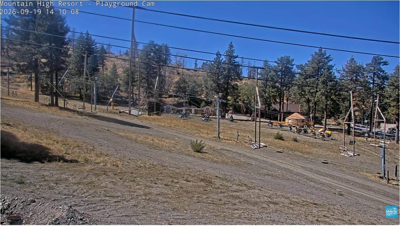
California, United States — 4.5 km
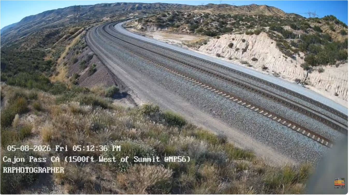
California, United States — 23 km
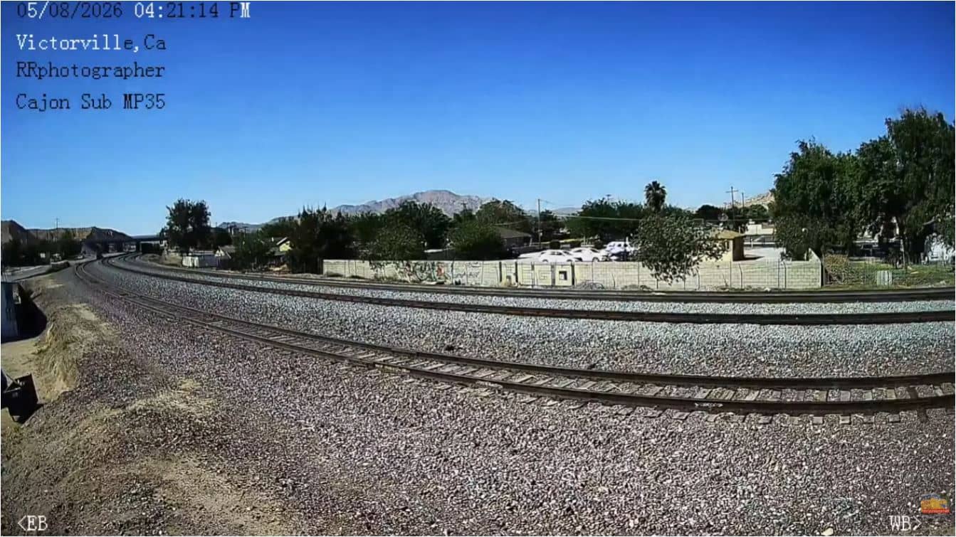
California, United States — 39 km
California, United States — 40 km
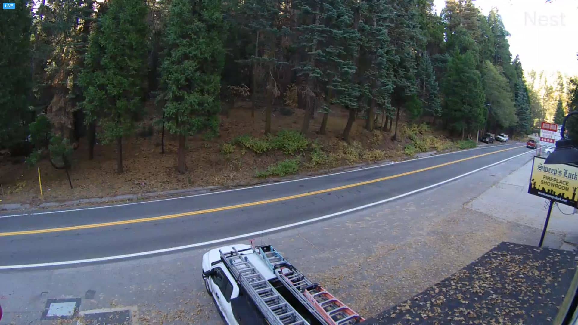
California, United States — 45 km

California, United States — 46 km
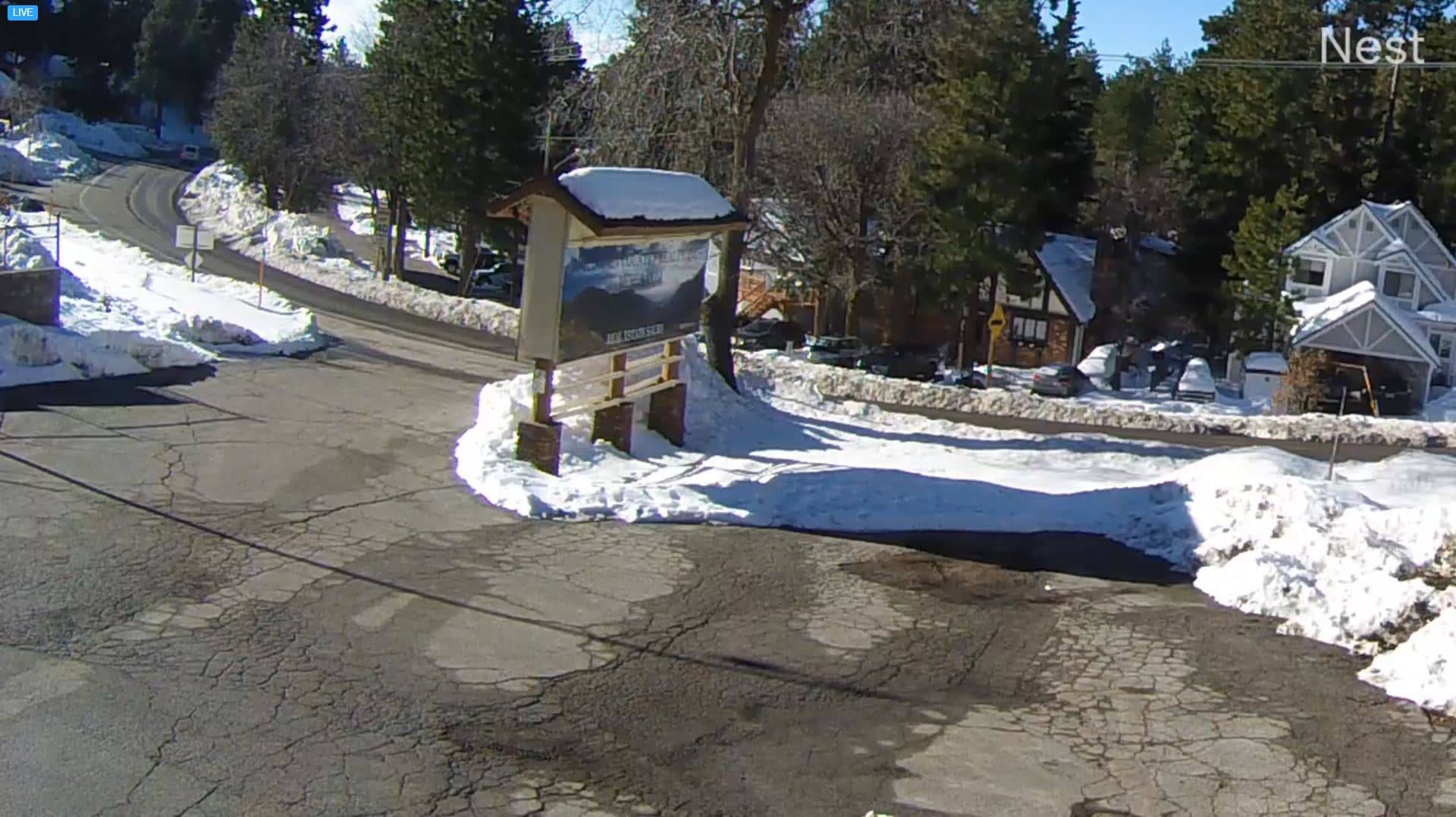
California, United States — 53 km
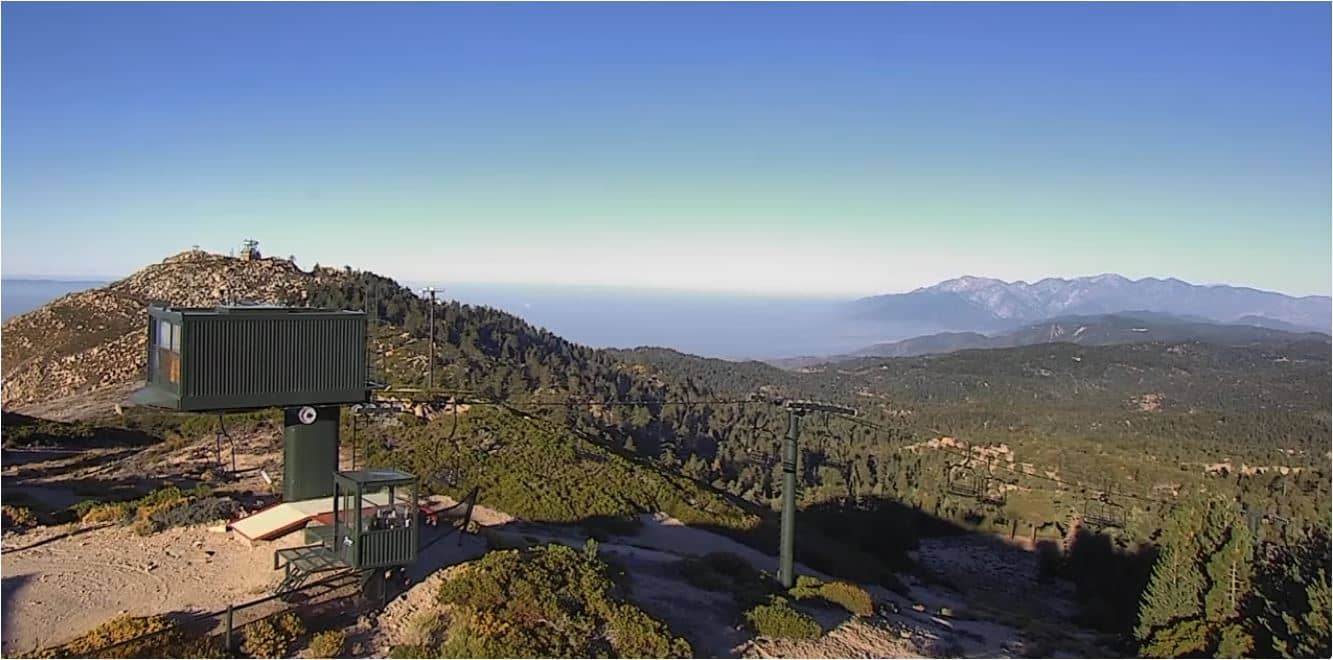
California, United States — 61 km
California, United States — 61 km
The current conditions and a 3-day forecast are shown in the live weather block on this page. Because the resort sits at around 2,000 metres, it is often colder and wetter than nearby towns.
The local time for the resort is displayed live on this page, in the Pacific time zone used across Southern California.
The camera looks over the west base of Mountain High Resort in the San Gabriel Mountains of California, near Wrightwood. The map on this page marks the exact location.
Mid-morning is often the clearest, when the sun lights the slopes. In winter, watch before a drive up to check snow and road activity.
Partner links: we may earn a commission at no extra cost to you.