Oro Grande - View of I-15 and Victorville Apple Valley
California, United States — 7.2 km
Victorville
🇺🇸 California · United States — Altitude 832 m
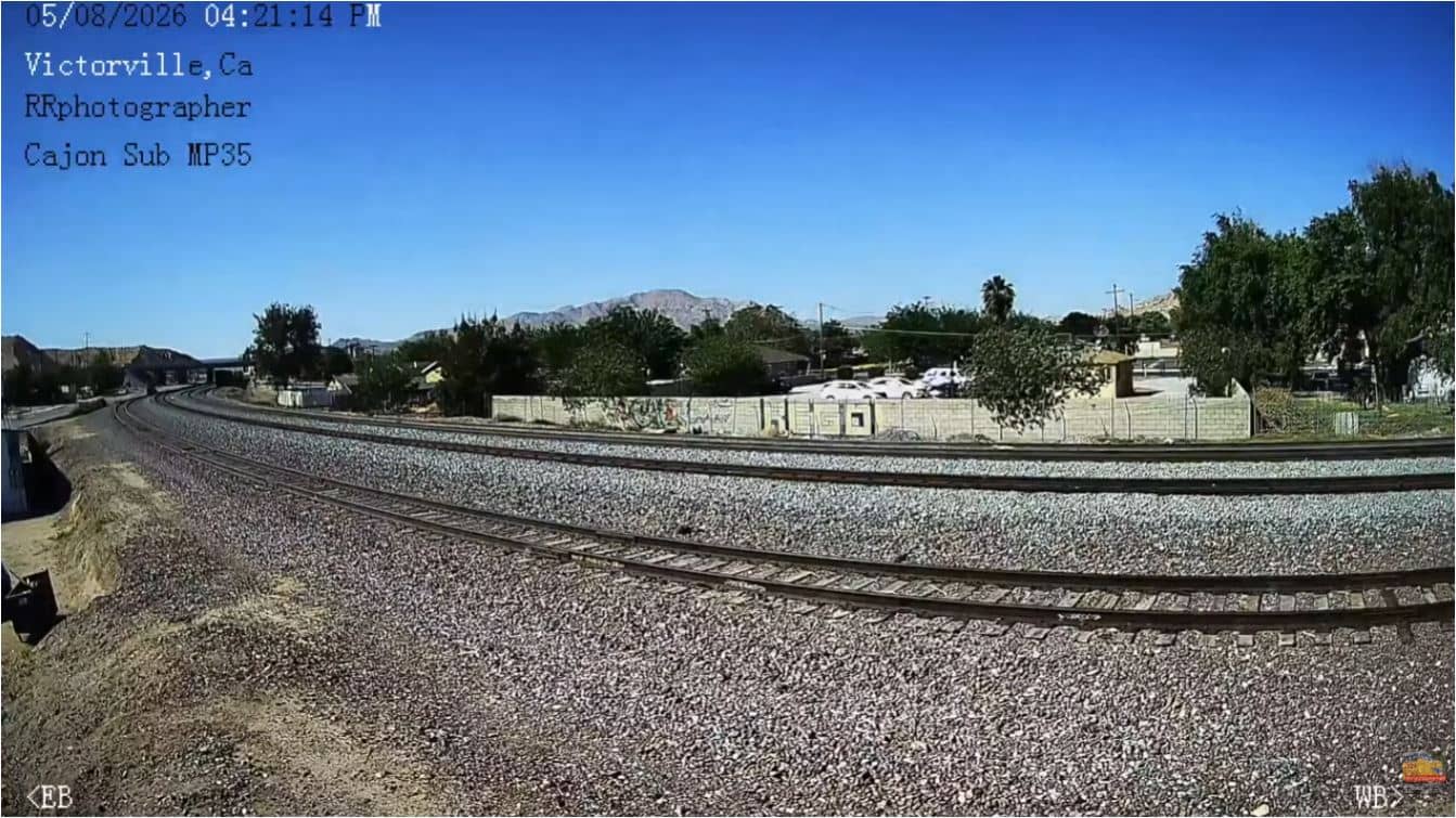
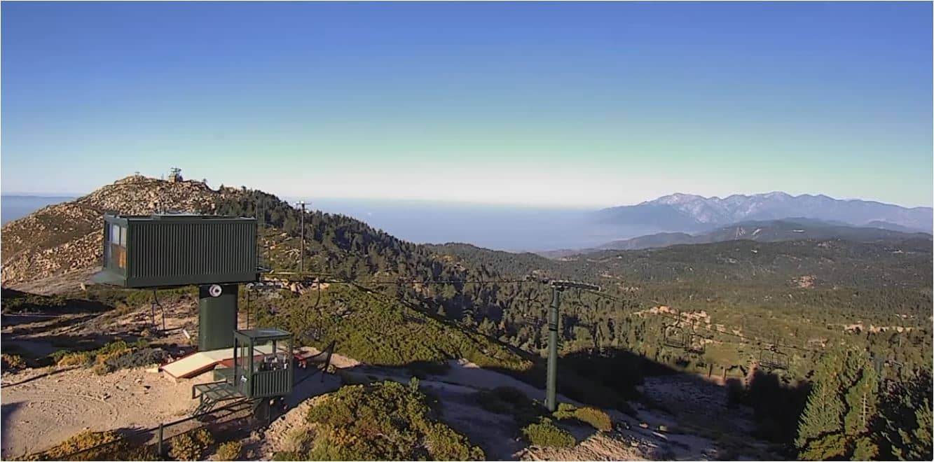
This live stream looks out over Victorville, a city in the Mojave Desert region of San Bernardino County, California. It is a practical way to check how the high desert looks right now before you drive through or plan a visit. The page also shows local time and the weather for the area.
Victorville sits in the High Desert of southern California, on the edge of the Mojave Desert at roughly 830 metres above sea level. The city grew along the Mojave River and the Interstate 15 corridor that links the Los Angeles basin with Las Vegas. Its landscape is wide and open, with dry washes, scattered creosote shrubs and mountain ridges framing the horizon. The air is usually clear, so distant slopes are often easy to pick out.
The stream is best understood as a view of desert town life and the highway traffic that runs through the area. Mornings often bring calm air and softer light, while late afternoon can show the warm colours that the desert is known for. Clear days give the best visibility, and winter or spring often brings the crispest views. Weather changes quickly here, so the live blocks on this page are useful for judging conditions at a glance.
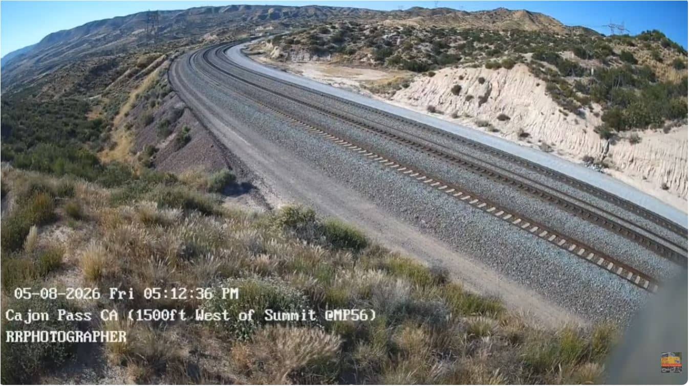
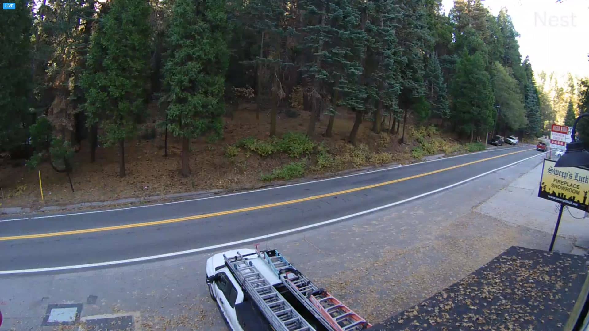
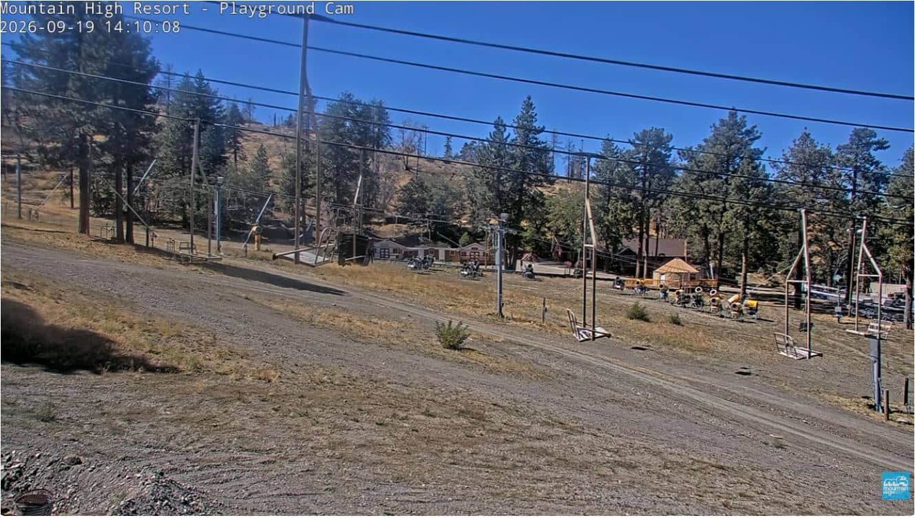
Summers in Victorville are hot and dry, with afternoon temperatures often well above 35 °C, while winters are cooler and occasionally bring frost or light snow to the surrounding hills. Spring and autumn are generally the most comfortable seasons for visiting. Nearby cameras on VizCams include the Oro Grande view of I-15 and Victorville Apple Valley, the Cajon Pass summit, Lake Arrowhead and the Mountain High Resort West Base, which together show the desert, the passes and the mountains around the city.
Source: RRphotographer661
California, United States — 7.2 km
California, United States — 27 km

California, United States — 34 km
California, United States — 34 km
California, United States — 36 km
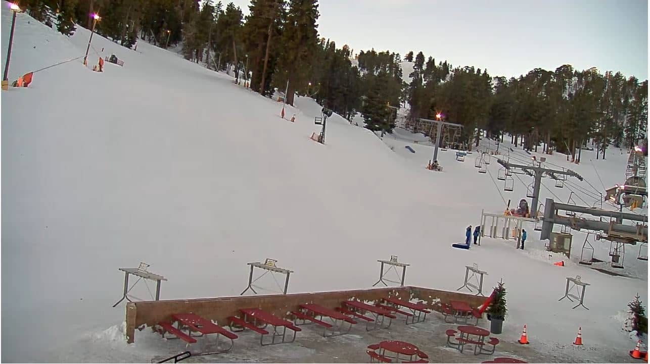
California, United States — 39 km
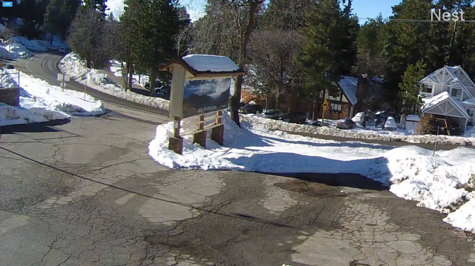
California, United States — 40 km
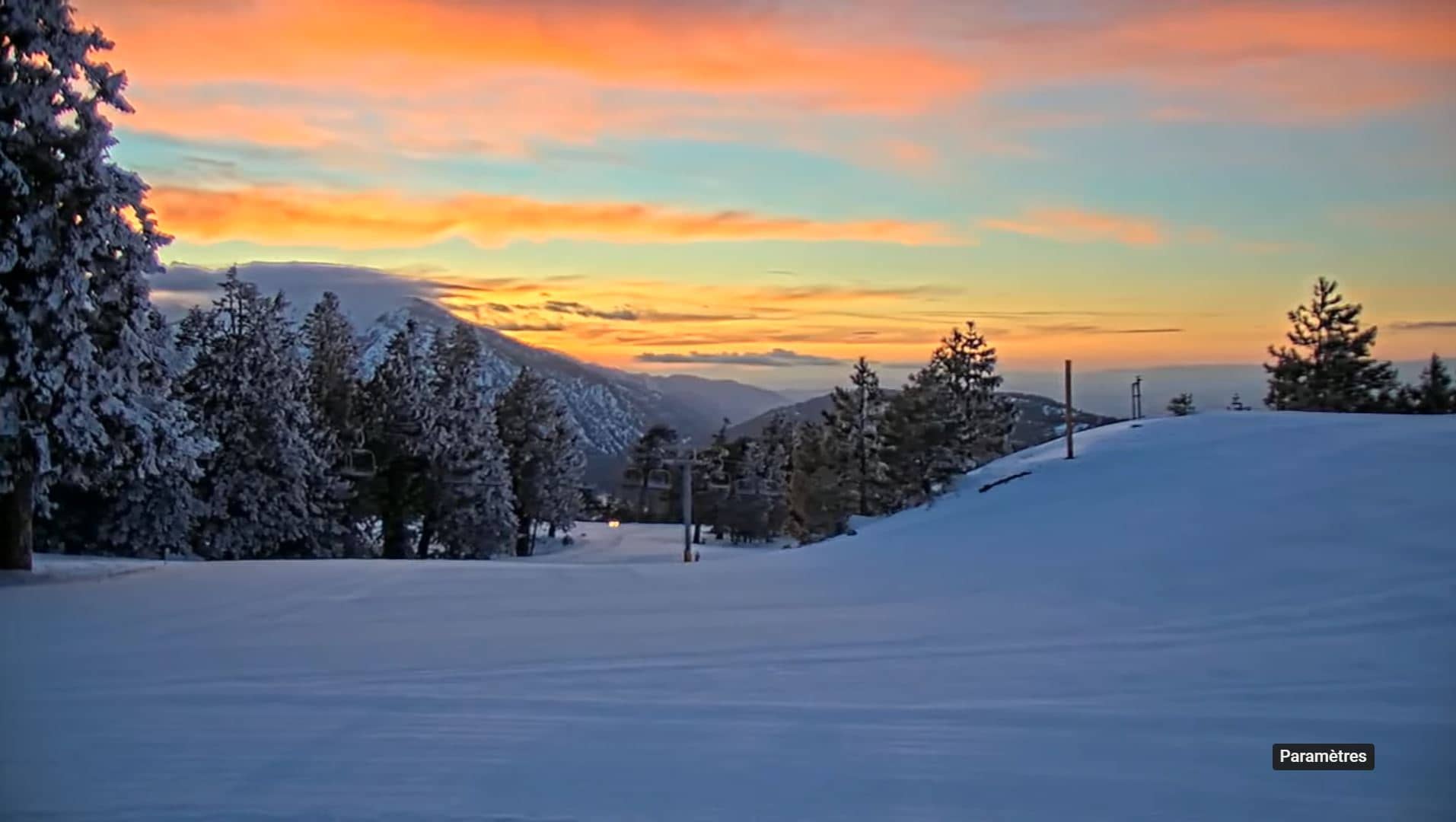
California, United States — 41 km
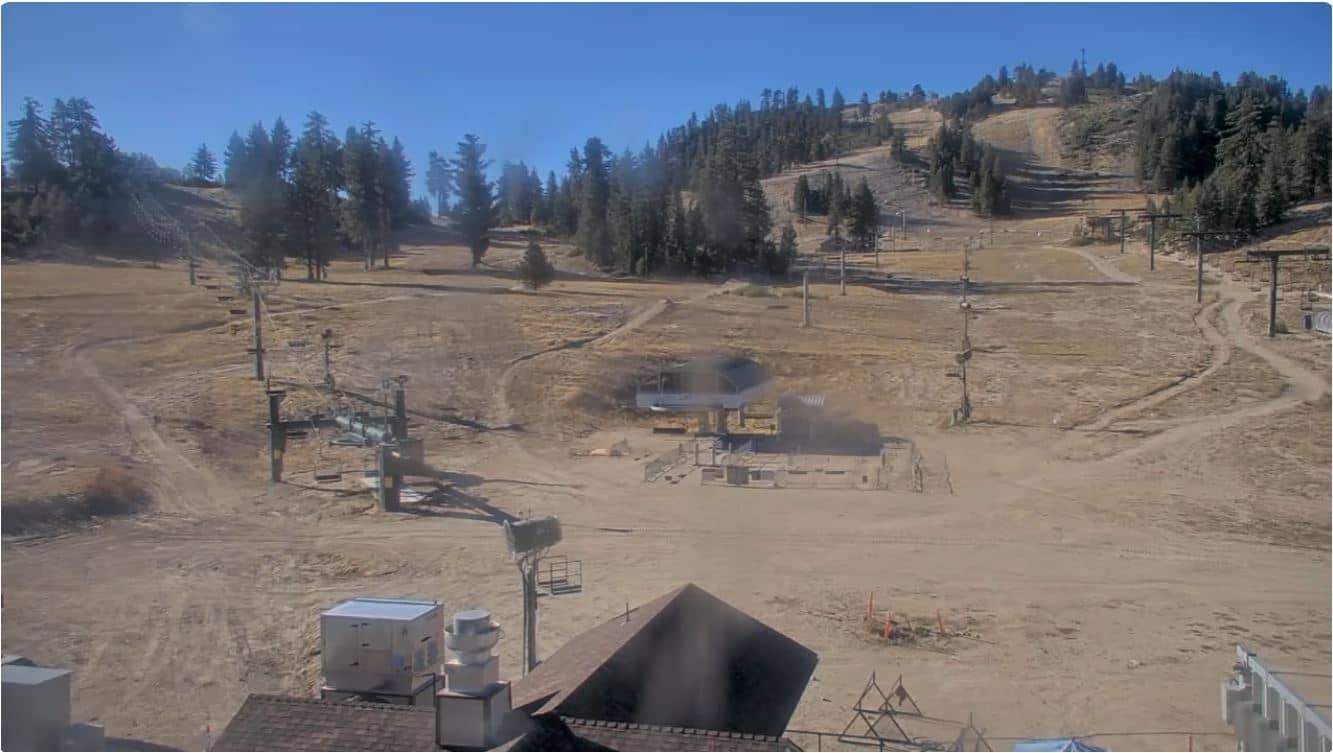
California, United States — 43 km
California, United States — 43 km
The current conditions and a three-day forecast for Victorville are shown in the weather block on this page, and they update with the live view.
The local time for Victorville is displayed on this page and follows the Pacific time zone used across southern California.
The camera is in Victorville, San Bernardino County, in the High Desert of California. The map on this page shows its position and nearby cameras.
Clear mornings and late afternoons are often the most pleasant times to watch, since the light is softer and visibility tends to be good. Conditions depend on the weather on the day.
Partner links: we may earn a commission at no extra cost to you.