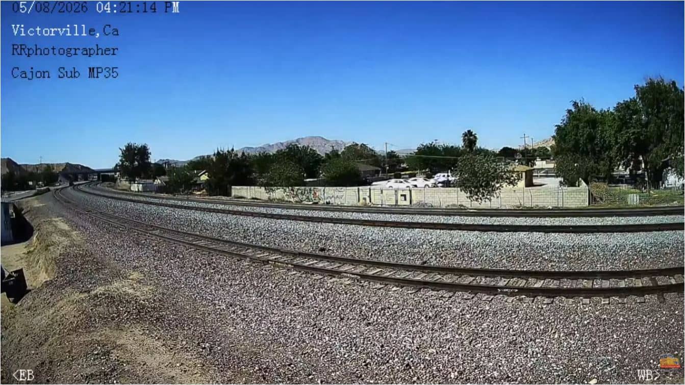
Victorville
California, United States — 7.2 km
Oro Grande - View of I-15 and Victorville Apple Valley
🇺🇸 California · United States — Altitude 808 m
This camera looks out over Oro Grande, a small community in the high desert of San Bernardino County, with the Interstate 15 corridor and the Victorville and Apple Valley area in view. It is useful for seeing traffic flow on one of the main routes between Southern California and Las Vegas, and for judging how the sky and air look from the desert floor.
Oro Grande sits in the Mojave Desert on the northern side of the San Gabriel Mountains, at roughly 800 metres above sea level. The landscape is open high desert, with dry washes, creosote scrub and wide views toward distant ranges. The community grew up around the highway and the railway that cross this stretch, and it is quieter than the larger towns nearby. The desert setting gives the area a clear, spacious character that many visitors notice first.
The view is centred on the freeway and the surrounding valley, so the most visible activity is vehicle movement along I-15 and the lights of Victorville and Apple Valley in the distance. Daytime shows the desert colours and the mountain outlines, which are often sharpest after rain or in the cooler months. Evenings bring the lights of the valley and the headlights of traffic. Dust, haze or wind are common in summer and can affect visibility, so watch the sky conditions when judging the view.
The Mojave Desert is hot and dry in summer, with afternoon temperatures often above 35 °C, and mild in winter, when nights can be cold. Spring and autumn are generally the most comfortable seasons to visit the area. Victorville is the closest larger town, about 7 km away, and it has services and access to the freeway. Nearby cameras include Cajon Pass Summit, Wrightwood Playground and Mountain High Resort West Base, which show other parts of the mountain and pass landscape.
Source: myearthcam.com
California, United States — 7.2 km
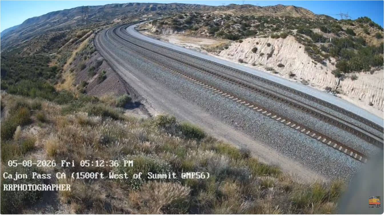
California, United States — 32 km
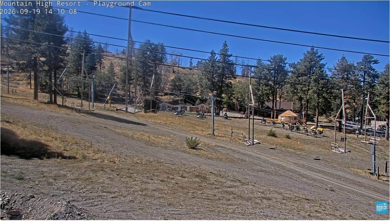
California, United States — 38 km
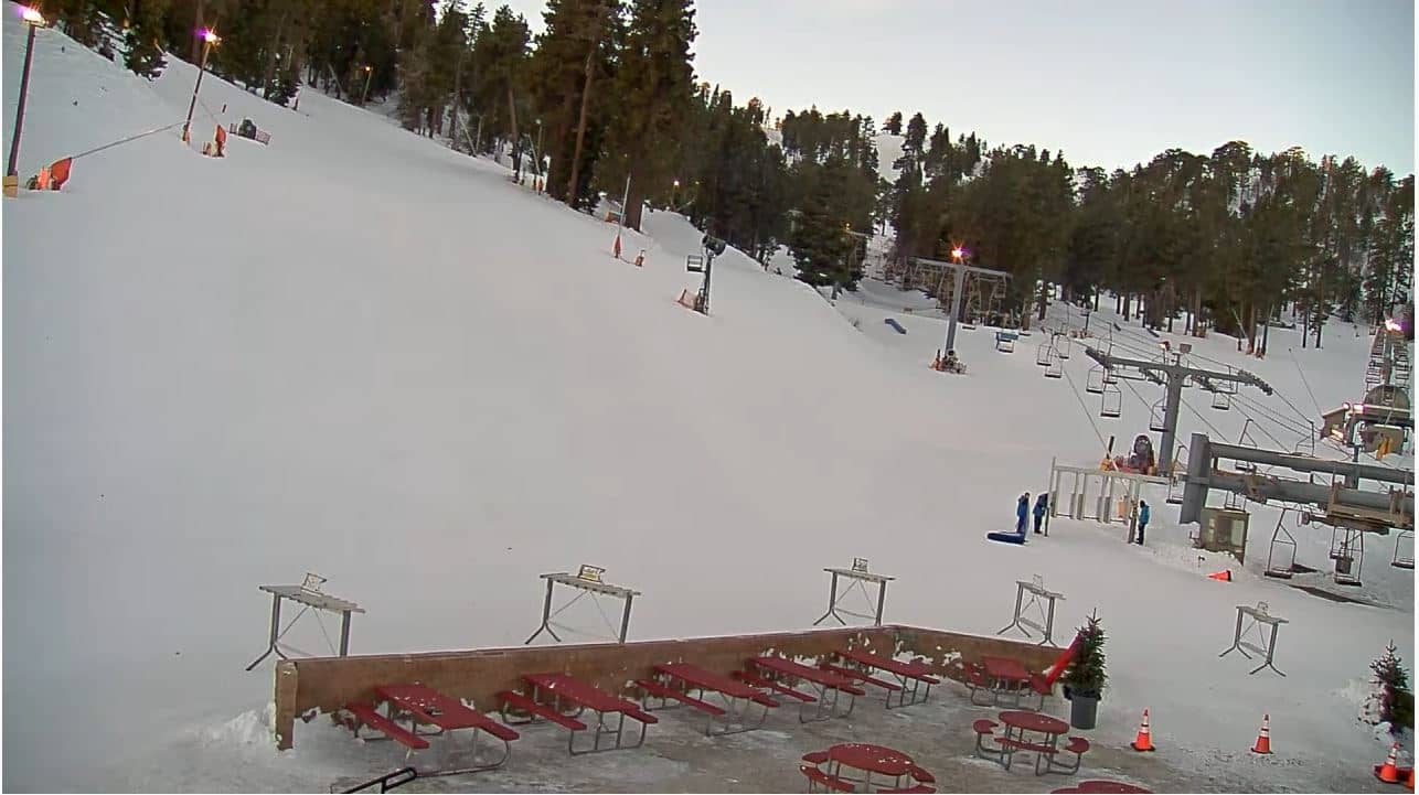
California, United States — 40 km

California, United States — 41 km
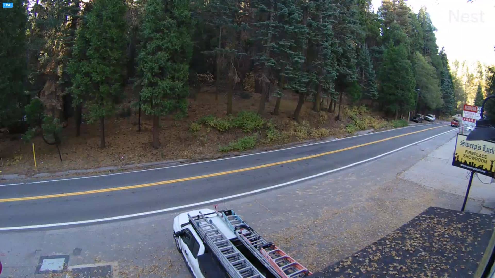
California, United States — 41 km
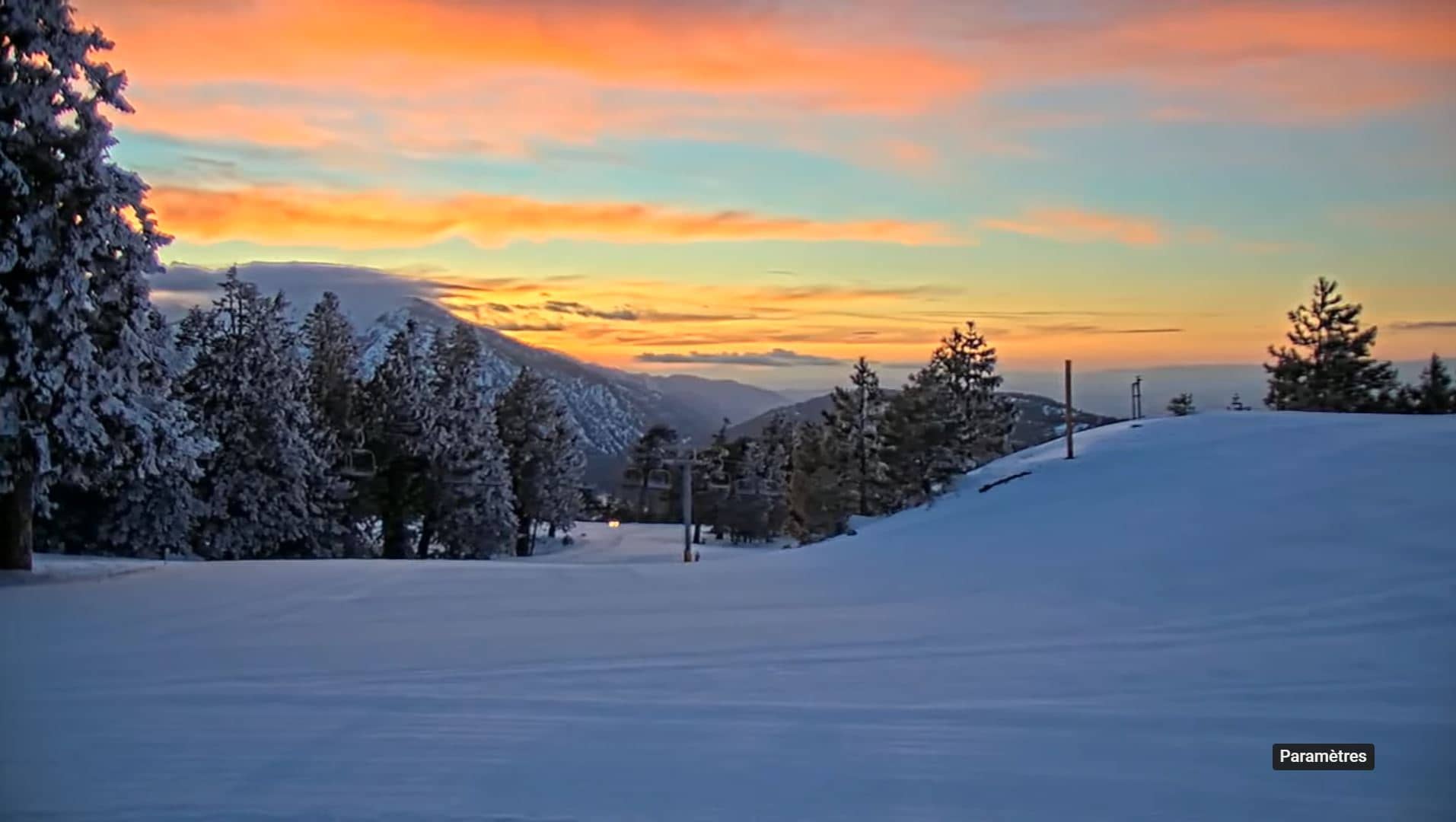
California, United States — 42 km
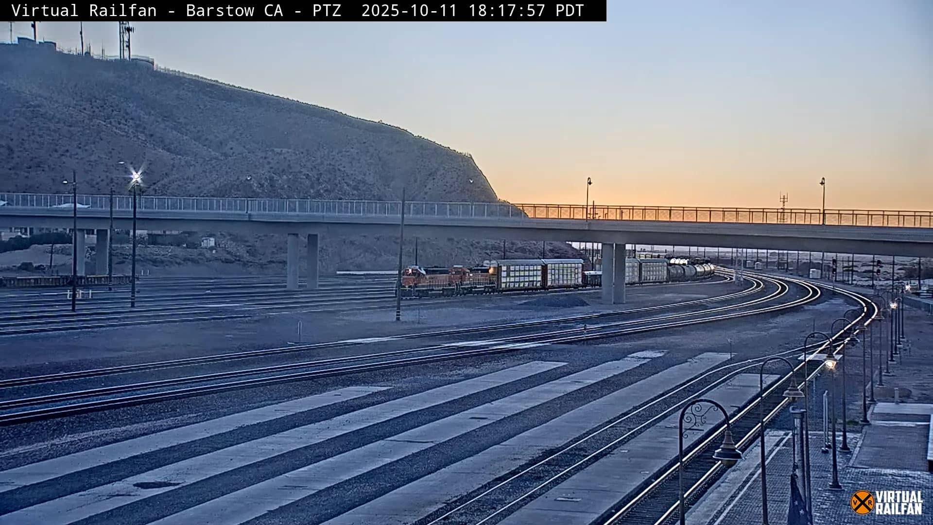
California, United States — 44 km
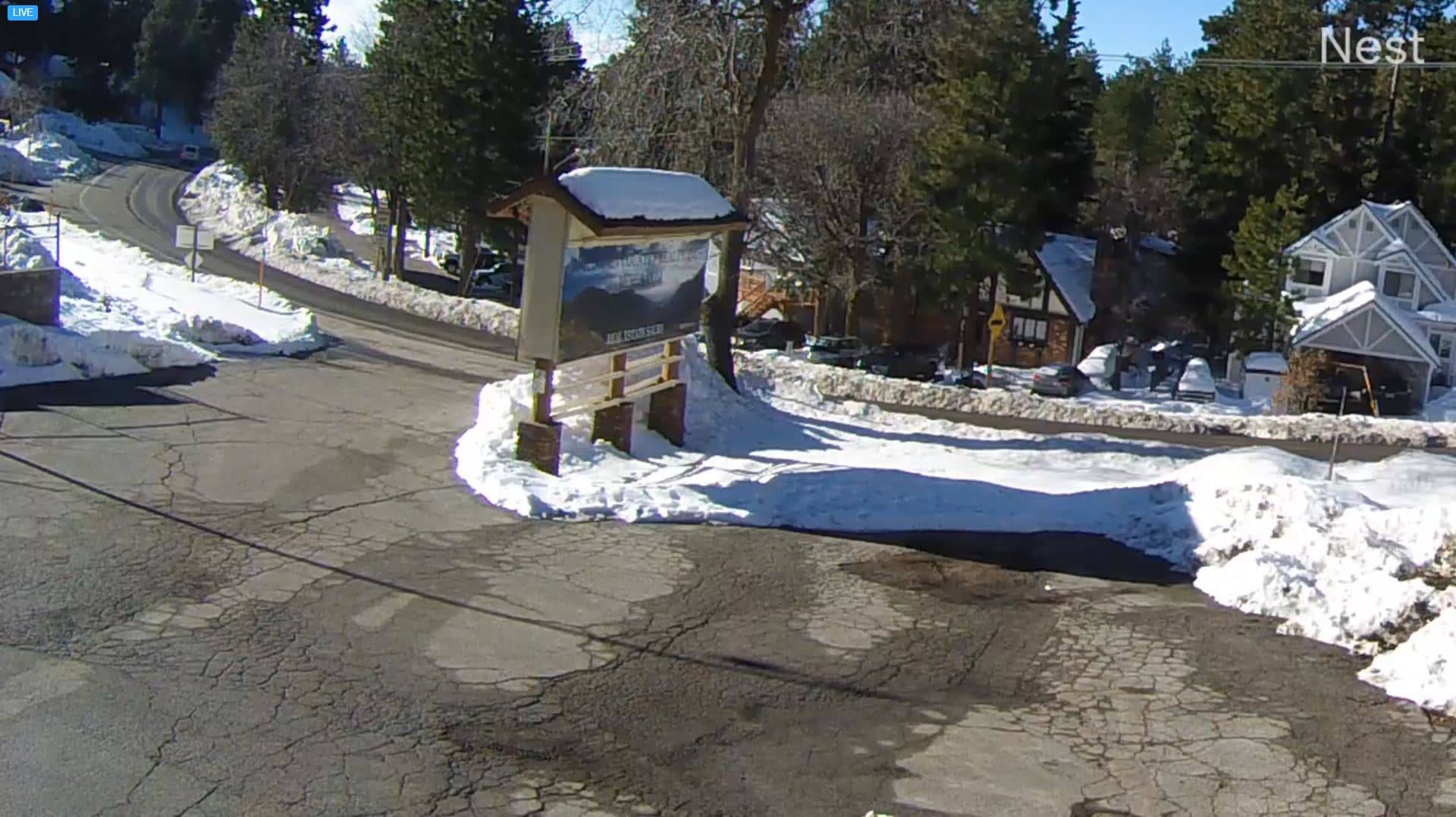
California, United States — 47 km
California, United States — 50 km
The current conditions and the three-day forecast for Oro Grande are shown in the live weather block on this page. They update automatically, so you can check temperature and sky conditions before you look at the view.
The local time for Oro Grande, which follows the Pacific time zone, is shown in the clock block on this page. It updates in real time, so you can compare it with your own time.
The camera is in Oro Grande, California, in the high desert north of the San Gabriel Mountains. The map on this page marks its location, and the view is directed toward Interstate 15 and the Victorville and Apple Valley area.
Daytime offers the clearest view of the desert and mountains, especially in cooler months or after rain. Evenings show the valley lights and traffic. Summer haze and dust can reduce visibility, so check the weather block first.
Partner links: we may earn a commission at no extra cost to you.