Colonia del Valle - MONCHCAM
State of Mexico, Mexico — 12 km
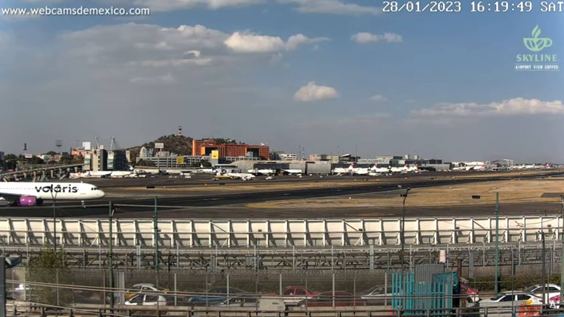
Mexico
🇲🇽 State of Mexico · Mexico — Altitude 2230 m
This live camera looks out over the State of Mexico, a region of high plateaus and volcanic mountains close to Mexico City. The feed is shown here with local time, current conditions and a map so you can judge the setting before you watch. It is useful for anyone checking how the highlands look and feel right now.
The camera sits at roughly 2,230 metres above sea level on the high central plateau of Mexico. The State of Mexico surrounds the capital on several sides and mixes farmland, forest and growing towns. Volcanoes rise to the east and south, and the altitude gives the area cooler air than the lowlands. The landscape changes quickly with the seasons, from dry brown fields to green slopes after rain.
Depending on the view, you may see open land, distant ridges, roads and the sky above them. Mornings are often clear before clouds build up over the mountains, and afternoons in the rainy months can bring sudden showers and dramatic cloud. Sunrise and late afternoon usually give the best light for judging the terrain. Check the weather block on this page before you watch.
The highlands have a mild climate for most of the year, with warm days and cool nights. The main rain falls from late spring into early autumn. Layers are useful even in summer because altitude makes evenings chilly. Nearby on VizCams you can open Colonia del Valle, the Popocatépetl views and a Zihuatanejo camera on the Pacific coast for comparison.
Source: Mexico Webcam
State of Mexico, Mexico — 12 km
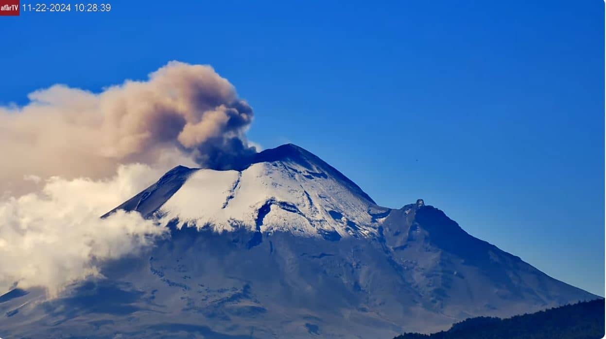
Puebla, Mexico — 66 km
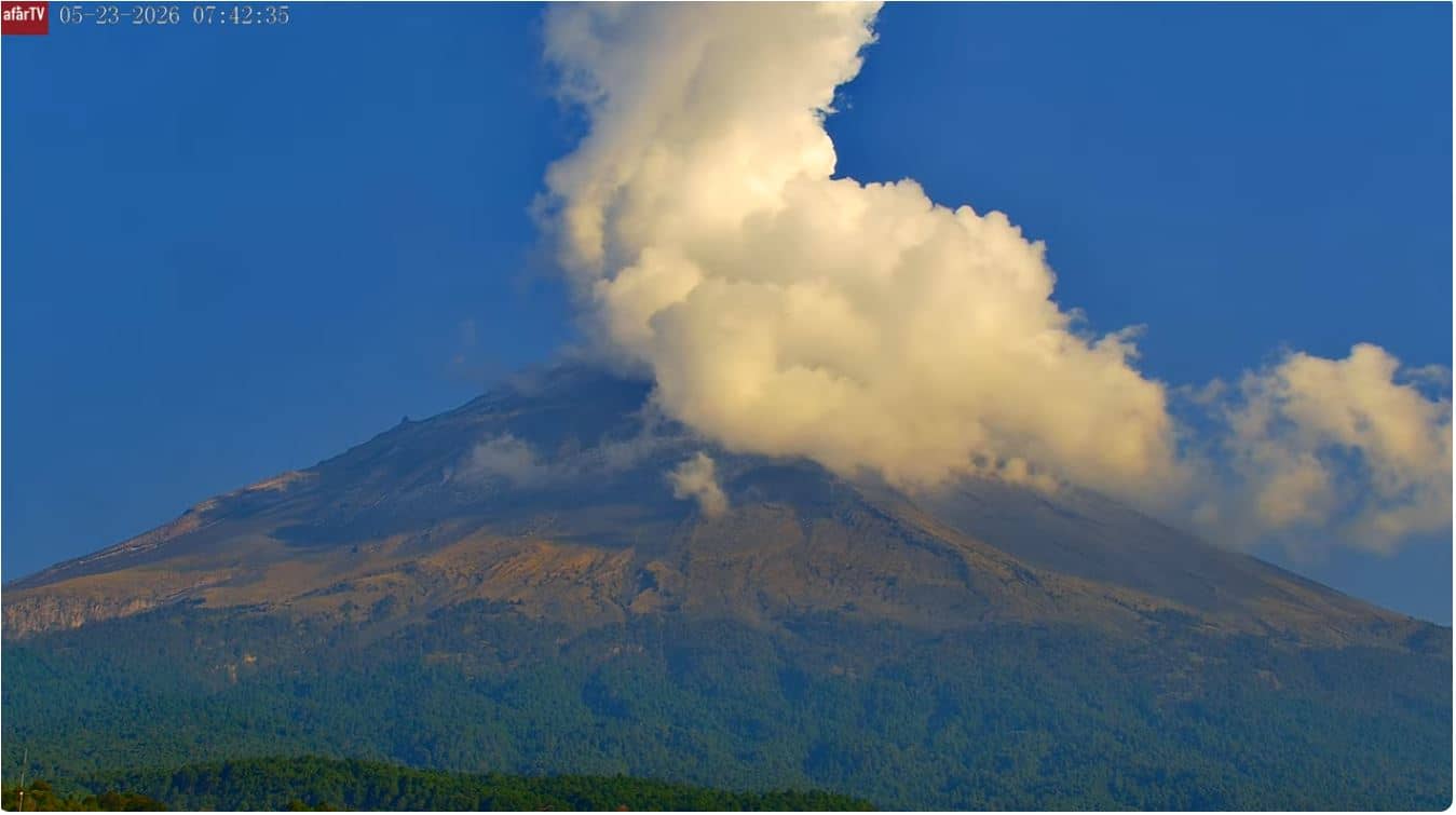
Puebla, Mexico — 77 km
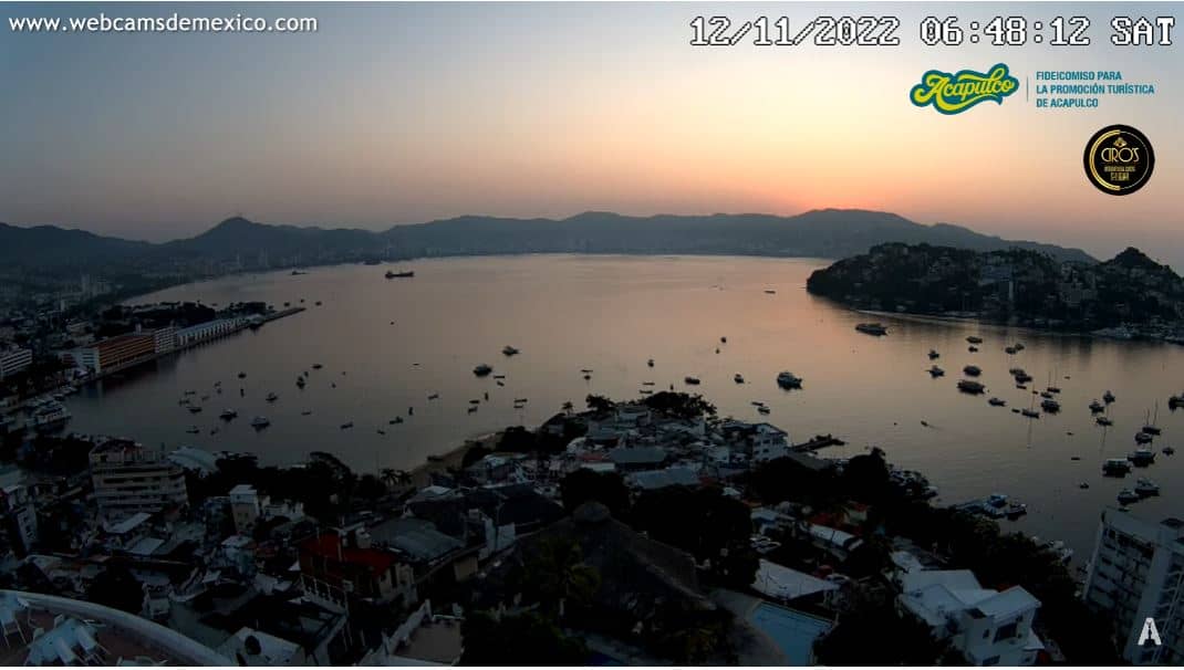
Guerrero, Mexico — 296 km
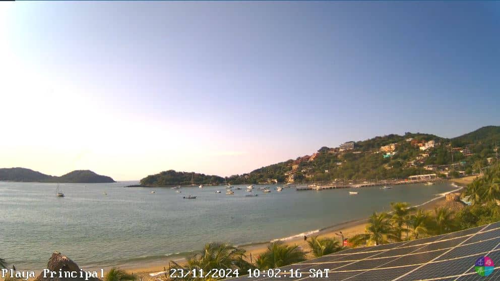
Guerrero, Mexico — 329 km
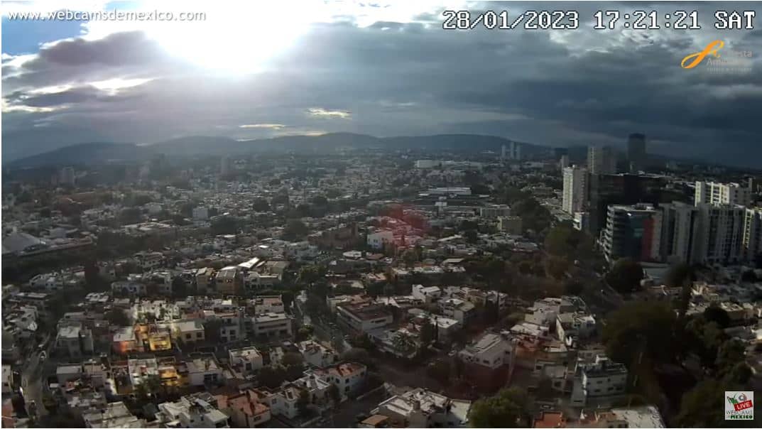
Jalisco, Mexico — 471 km
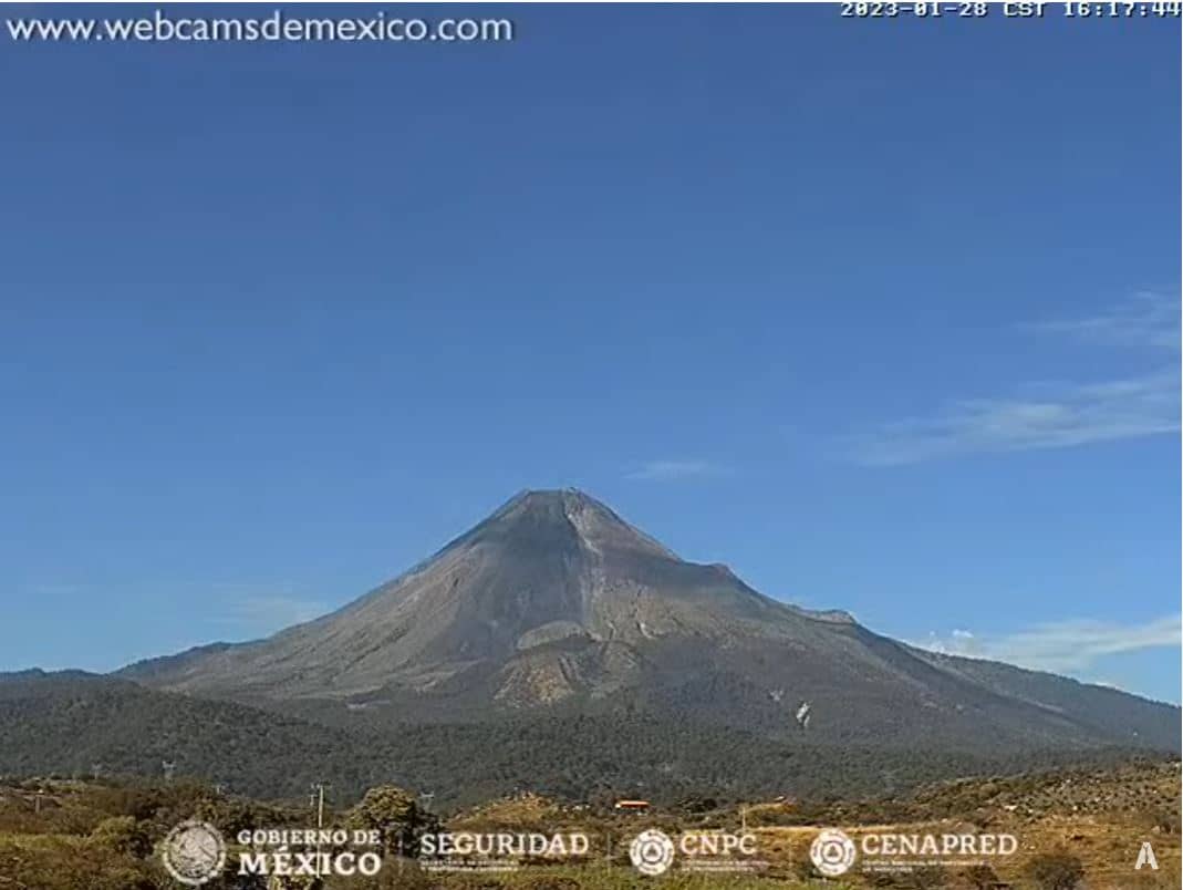
Colima, Mexico — 478 km
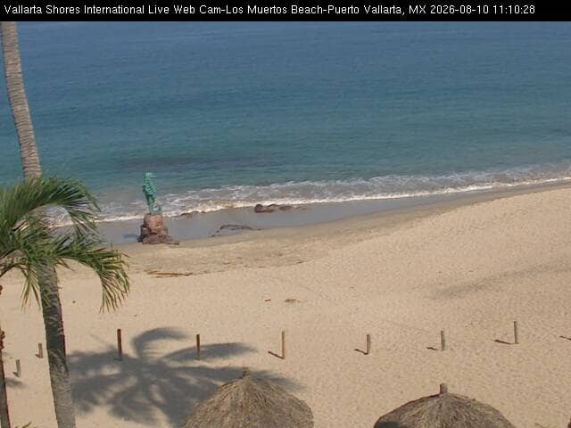
Jalisco, Mexico — 657 km
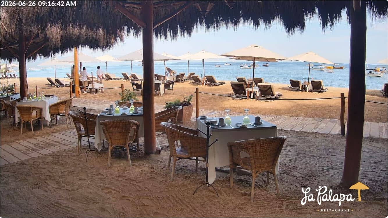
Jalisco, Mexico — 658 km
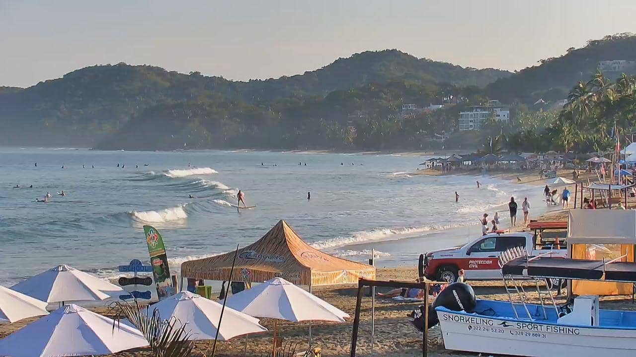
Nayarit, Mexico — 683 km
The current conditions and a three-day forecast are shown in the live weather block on this page. They update automatically, so you do not need to search elsewhere.
The local time for this camera is shown on the page and follows the local clock of the region. Use it to plan when daylight will be good for watching.
The camera is in the State of Mexico at about 2,230 metres altitude, and its position is marked on the map on this page. The exact location is given by the owner of the stream.
Morning and early afternoon are usually the clearest times in the highlands, before cloud cover builds. In the rainy season, check the weather block first to avoid wasted viewing time.
Partner links: we may earn a commission at no extra cost to you.