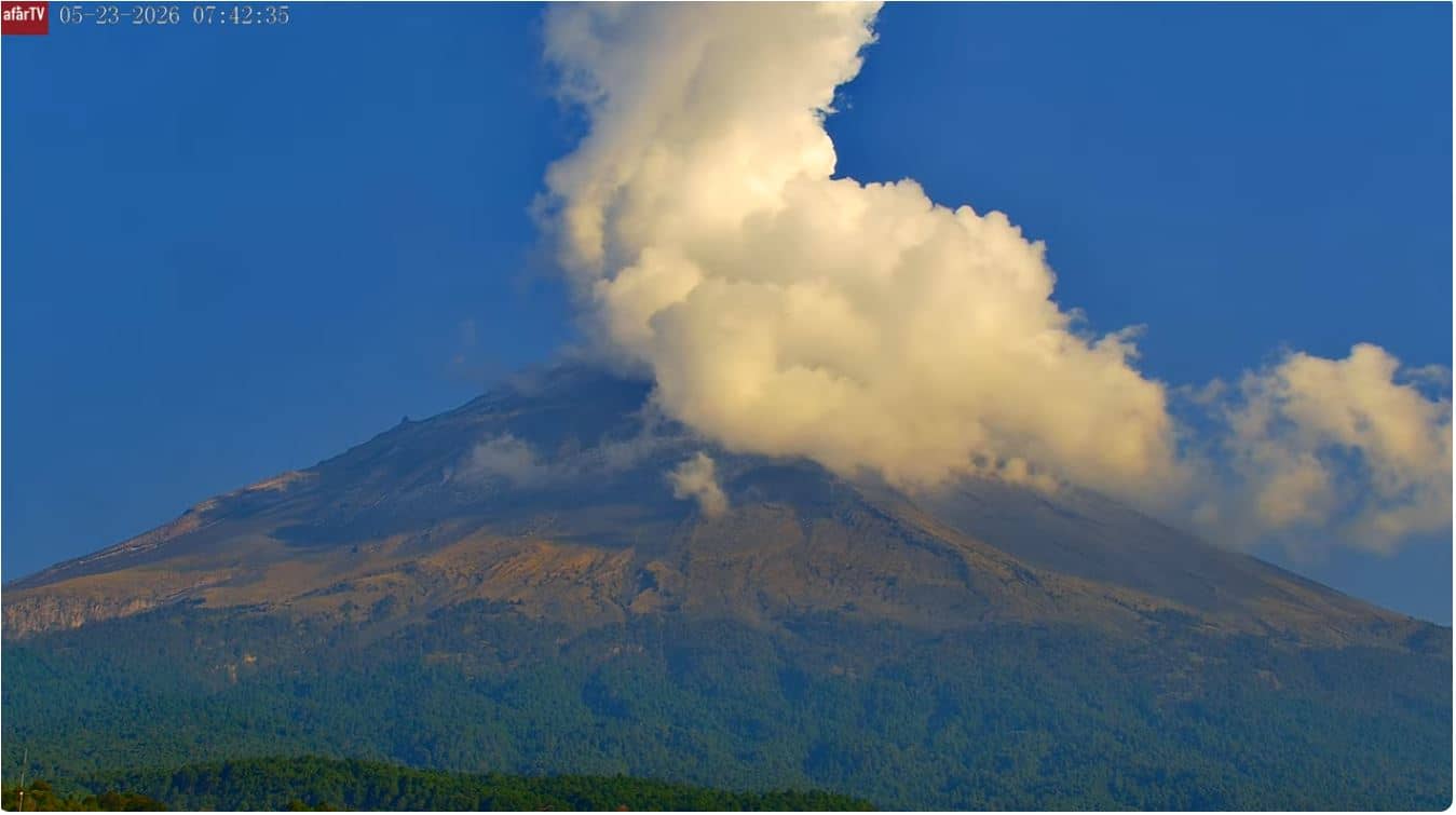
Popocatepetl - San Pedro Benito Juárez
Puebla, Mexico — 12 km
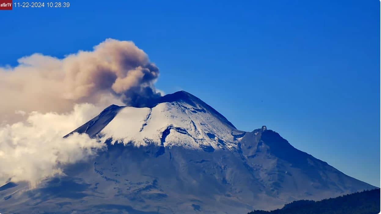
Popocatepetl
🇲🇽 Puebla · Mexico — Altitude 3822 m
This live stream follows Popocatépetl, one of the most active volcanoes in Mexico, rising to about 3,822 metres southeast of Mexico City. People watch it to check on the mountain's activity and the sky above its cone in real time.
Popocatépetl sits on the border of the states of Puebla, Morelos and México, close to the cities of Puebla and Cholula. Its name comes from Nahuatl and means smoking mountain. It is part of the Trans-Mexican Volcanic Belt and has been erupting intermittently for decades, which is why it is closely monitored. The surrounding slopes are forested at lower elevations and bare and volcanic higher up, with snow and ice sometimes present near the summit.
The camera is aimed at the volcano, so the most interesting moments are when the summit is clear of cloud and the plume of steam or ash is visible. Plumes are often most distinct in the morning, before afternoon clouds build over the mountains. Activity can change quickly, so it is worth checking the stream at different times of day. Night views may be harder to read depending on lighting and weather.
The region has a highland climate, with a dry season from late autumn to spring and rain concentrated in summer. Cloud cover around the peak is common in the afternoons, so clearer views are more likely early in the day. Nearby, the Popocatépetl - San Pedro Benito Juárez camera is about 12 km away, and the Mexico camera is roughly 66 km off. Access to the upper slopes is restricted because of volcanic hazard.
Source: Tercer Milenio
Puebla, Mexico — 12 km
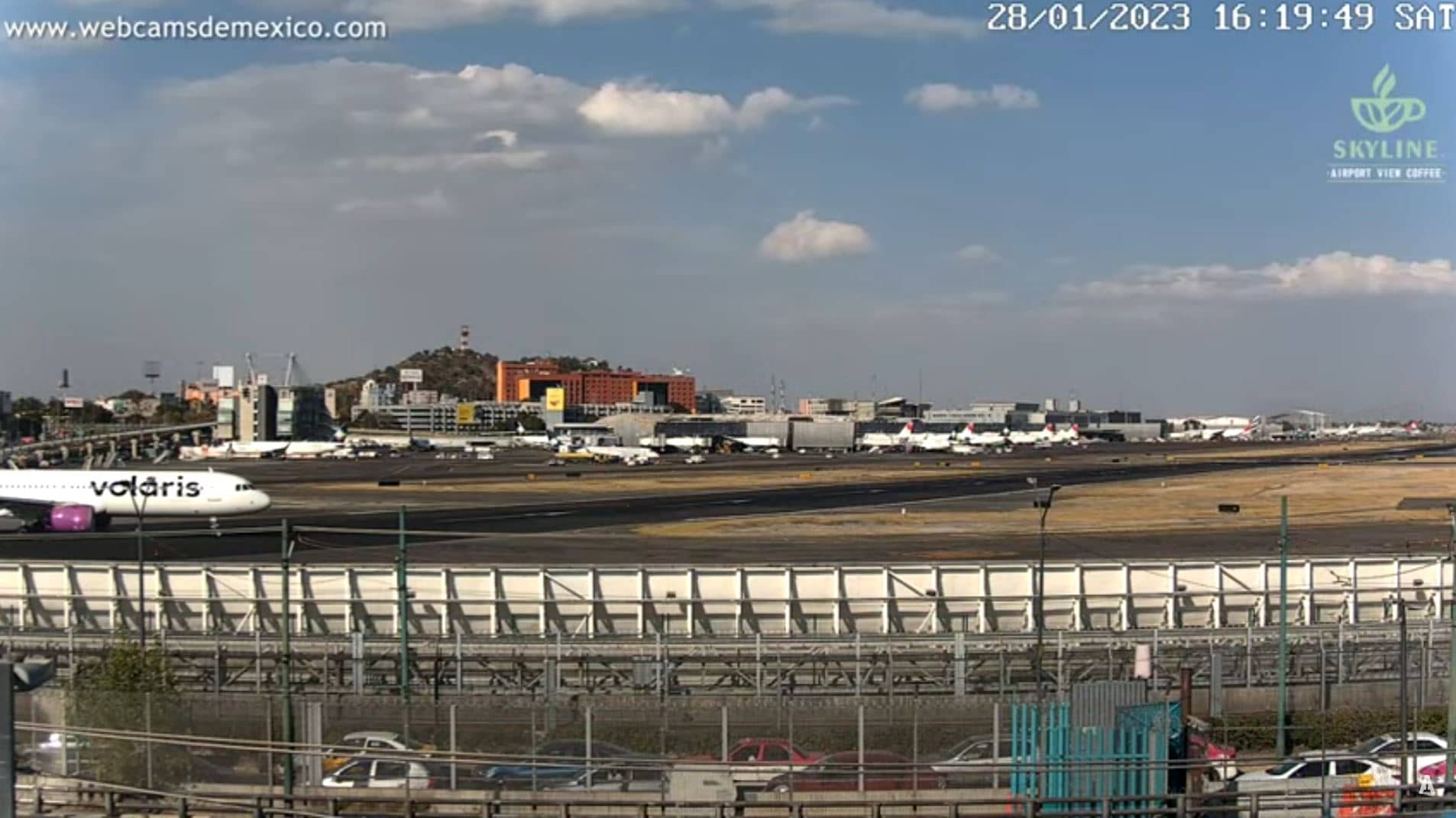
State of Mexico, Mexico — 66 km
State of Mexico, Mexico — 69 km
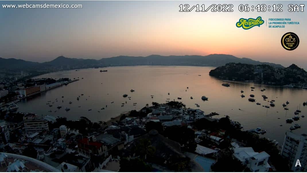
Guerrero, Mexico — 271 km
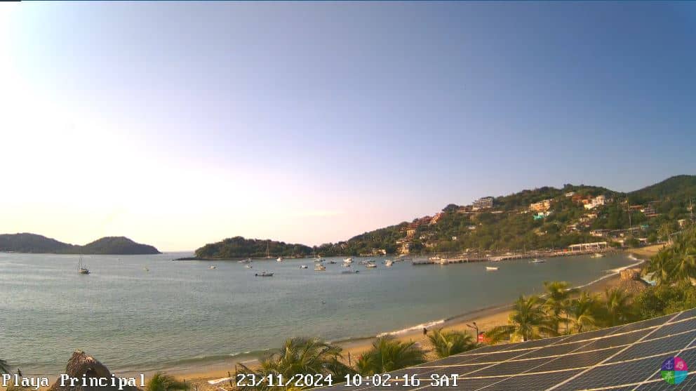
Guerrero, Mexico — 345 km
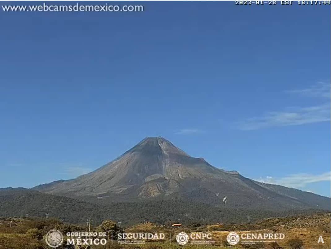
Colima, Mexico — 529 km
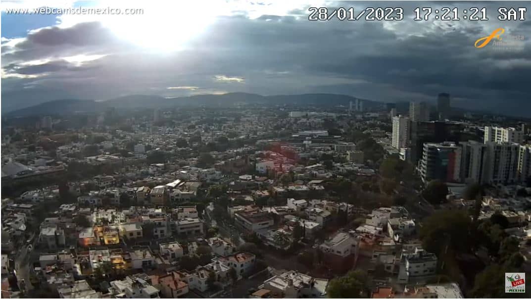
Jalisco, Mexico — 531 km
Jalisco, Mexico — 713 km
Jalisco, Mexico — 715 km
Nayarit, Mexico — 741 km
The current conditions and a 3-day forecast for the area are shown in the live weather block on this page. Mountain weather can change quickly, so check it before planning any trip.
The local time for the volcano's time zone is shown on this page and updates live. It follows Mexico City time.
The camera is located at approximately 19.0224 north and 98.6279 west, in the state of Puebla, Mexico, looking toward the volcano's summit.
Early morning usually offers the clearest view of the summit before clouds form. Watching during the drier months from late autumn to spring also tends to give better visibility.
Partner links: we may earn a commission at no extra cost to you.