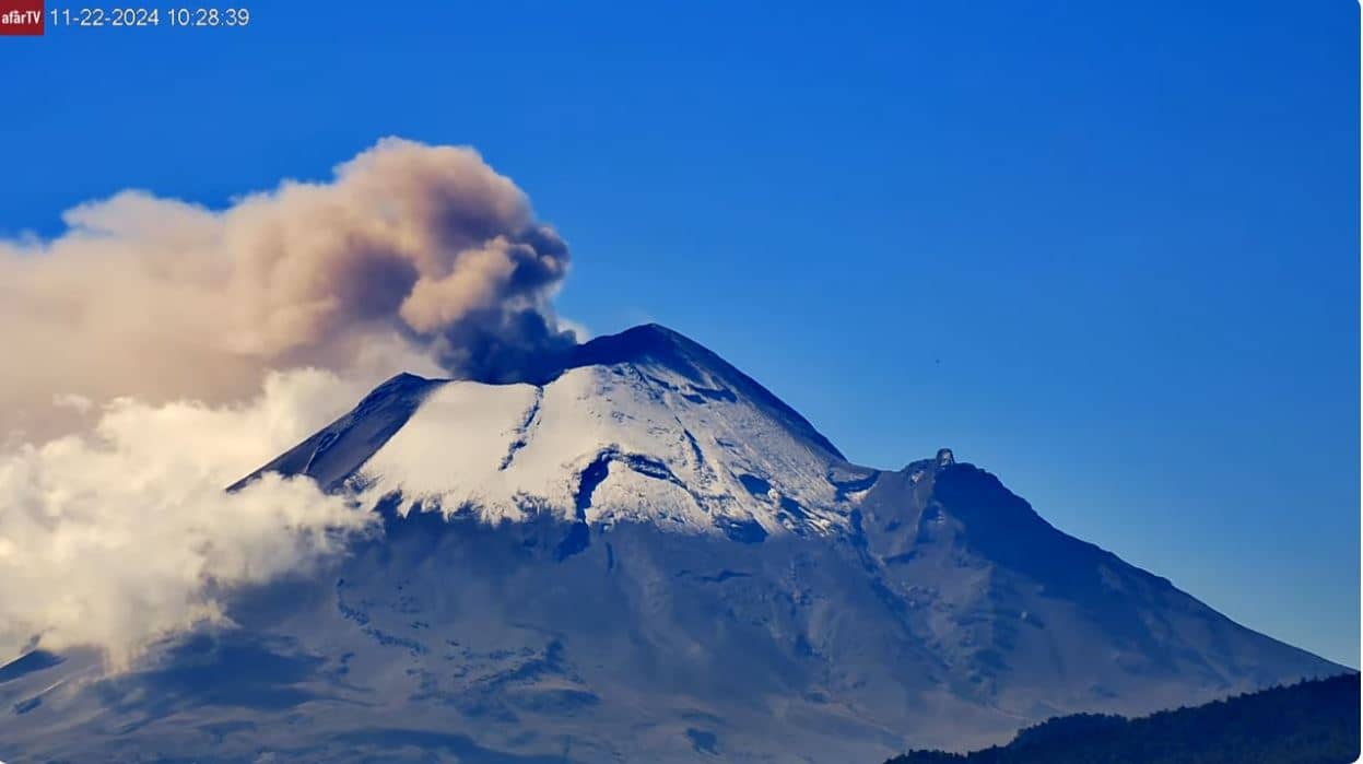
Popocatepetl
Puebla, Mexico — 12 km
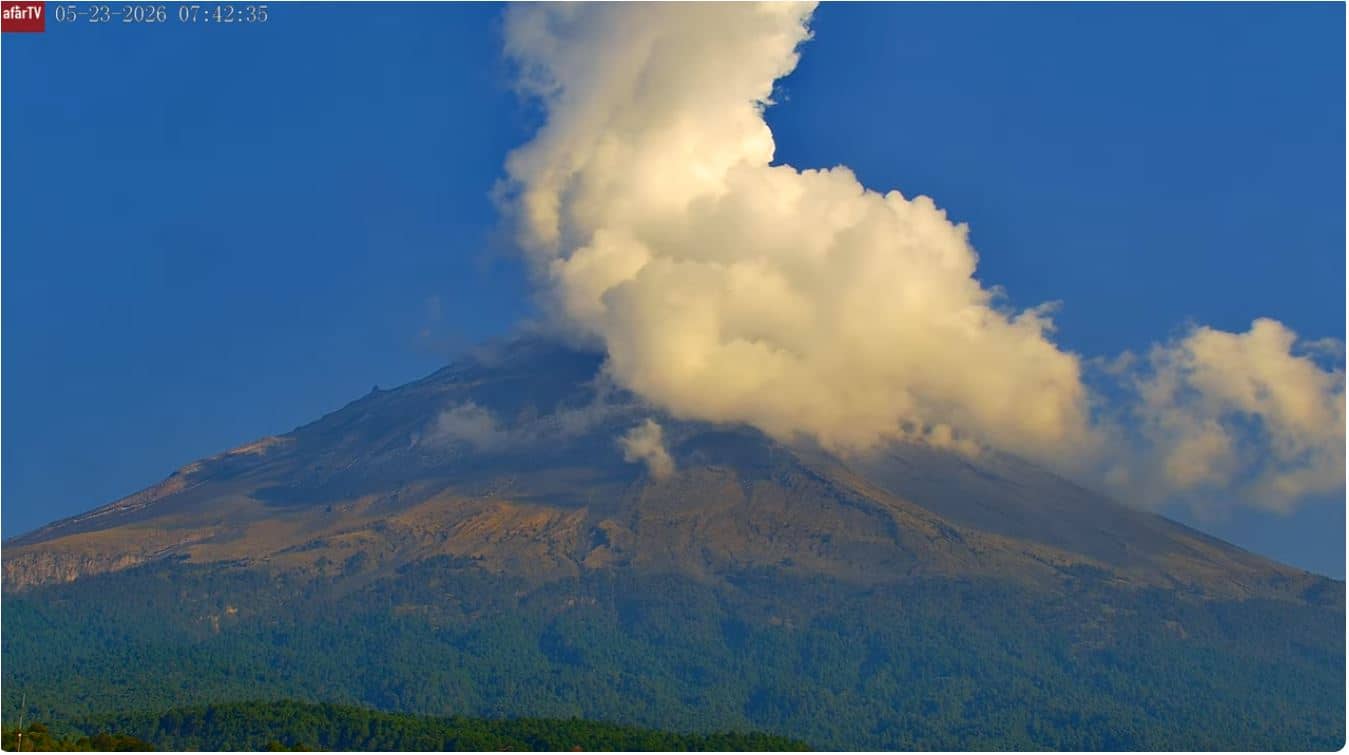
Popocatepetl - San Pedro Benito Juárez
🇲🇽 Puebla · Mexico — Altitude 2345 m
This live stream looks toward Popocatépetl, one of the most active volcanoes in Mexico and a constant presence over the Puebla region. Viewers come to follow its profile, the cloud cover around the summit and changes in the sky above the mountain. The page also shows local time and the current weather for the area.
Popocatépetl rises to about 5,400 metres in the Trans-Mexican Volcanic Belt, south-east of Mexico City and close to the state of Puebla. Its name comes from Nahuatl and means smoking mountain, a reference to the plumes it has released for centuries. The surrounding land is a mix of pine and oak forest, farmland and volcanic ash plains. The camera stands at a much lower altitude, so the view depends heavily on the weather and the haze of the day.
The view is most often clear in the early morning, before clouds build up over the peaks in the afternoon. Watch for steam or ash plumes rising from the crater, and for snow on the upper slopes during the cooler months. Sunrise and sunset can colour the summit and the sky dramatically. Because the camera is a live feed, the scene can change within minutes, so checking at different times of day gives a fuller picture.
The Puebla region has a temperate highland climate, with a rainy season from roughly June to September and drier, clearer skies from November to April. Conditions at the summit and at lower elevations can differ a lot, so check the weather block on this page before planning a visit. Other live views in the area include the Popocatépetl camera about 12 km away, a Mexico camera about 77 km away and the Colonia del Valle camera about 81 km away.
Source: afartv
Puebla, Mexico — 12 km
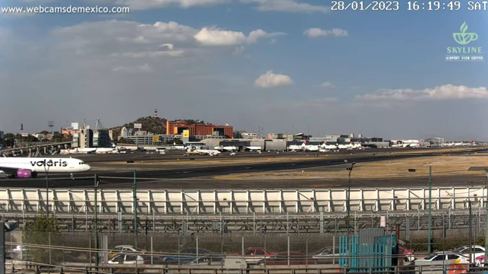
State of Mexico, Mexico — 77 km
State of Mexico, Mexico — 81 km
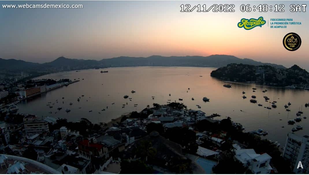
Guerrero, Mexico — 268 km
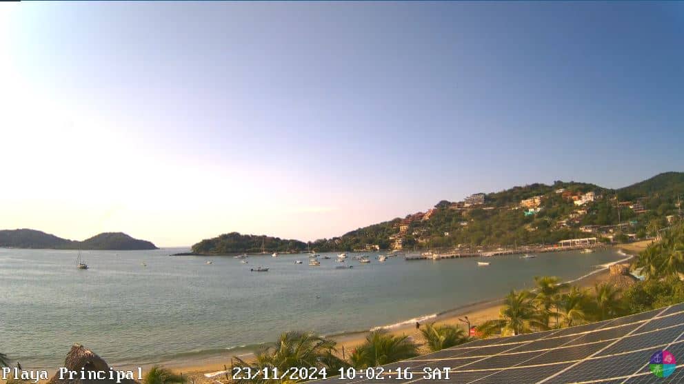
Guerrero, Mexico — 349 km
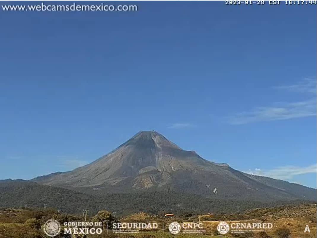
Colima, Mexico — 537 km
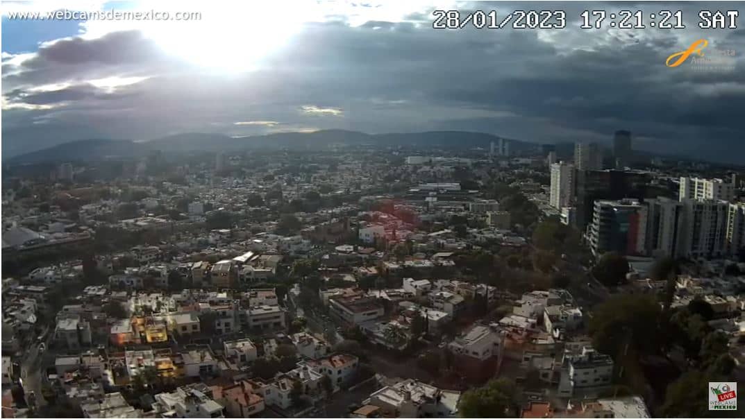
Jalisco, Mexico — 541 km
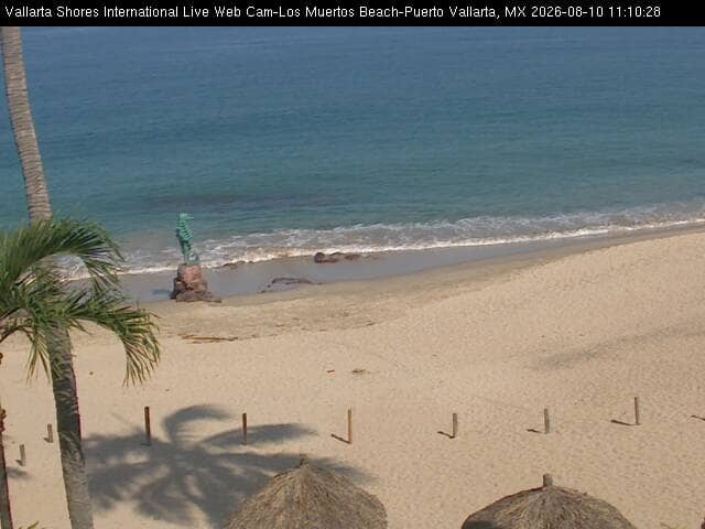
Jalisco, Mexico — 723 km
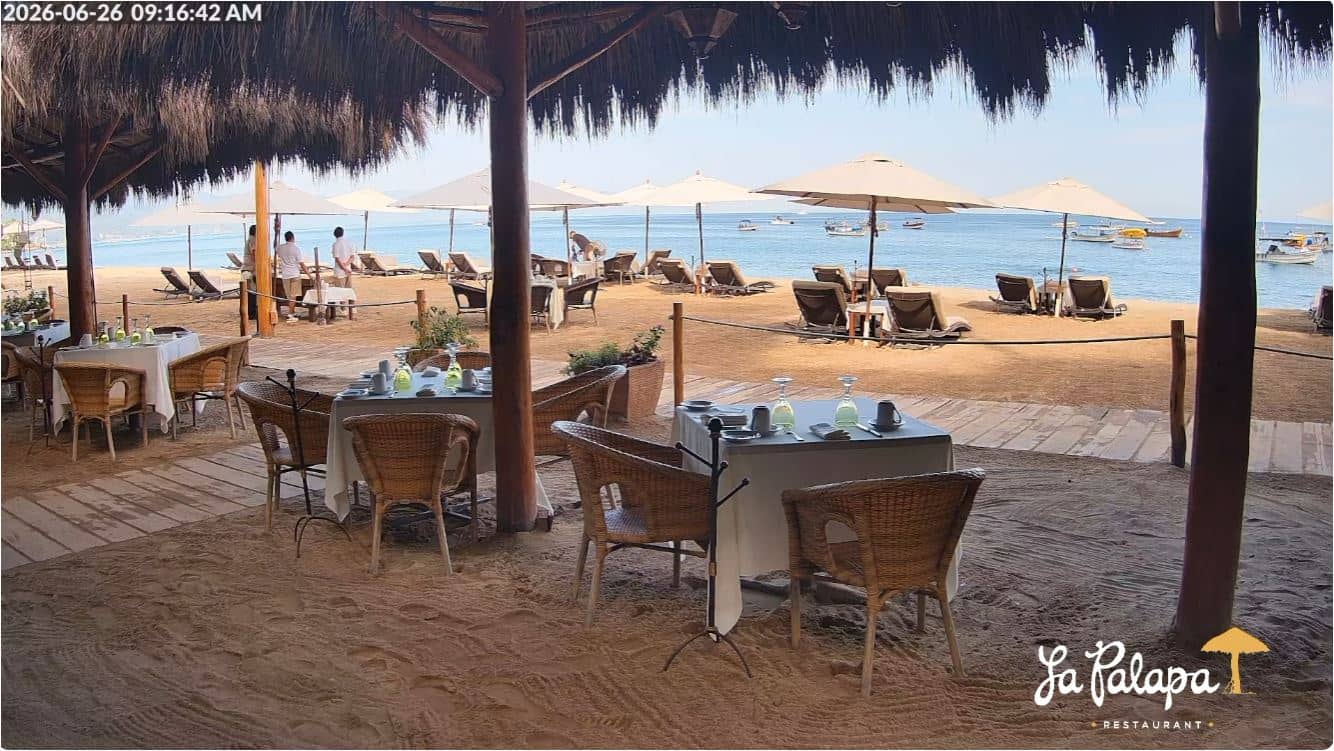
Jalisco, Mexico — 725 km
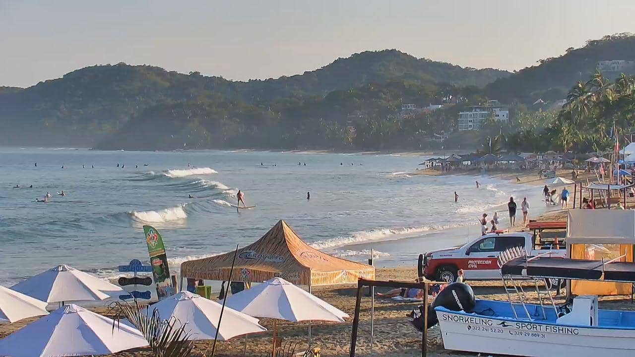
Nayarit, Mexico — 751 km
The current conditions and a three-day forecast for the area are shown in the weather block on this page. Cloud cover can hide the summit at short notice, so the live view is the best guide to what you can see right now.
The local time for the camera location is displayed on this page and updates automatically. It follows Mexico's local time zone, so it may differ from your own time.
The camera is in San Pedro Benito Juárez, in the Popocatépetl area of Puebla, Mexico, at an altitude of about 2,345 metres. The map on this page shows its exact position relative to the volcano.
Early mornings tend to give the clearest views before clouds gather around the peaks. The dry season from November to April is usually more reliable for seeing the summit than the rainy months.
Partner links: we may earn a commission at no extra cost to you.