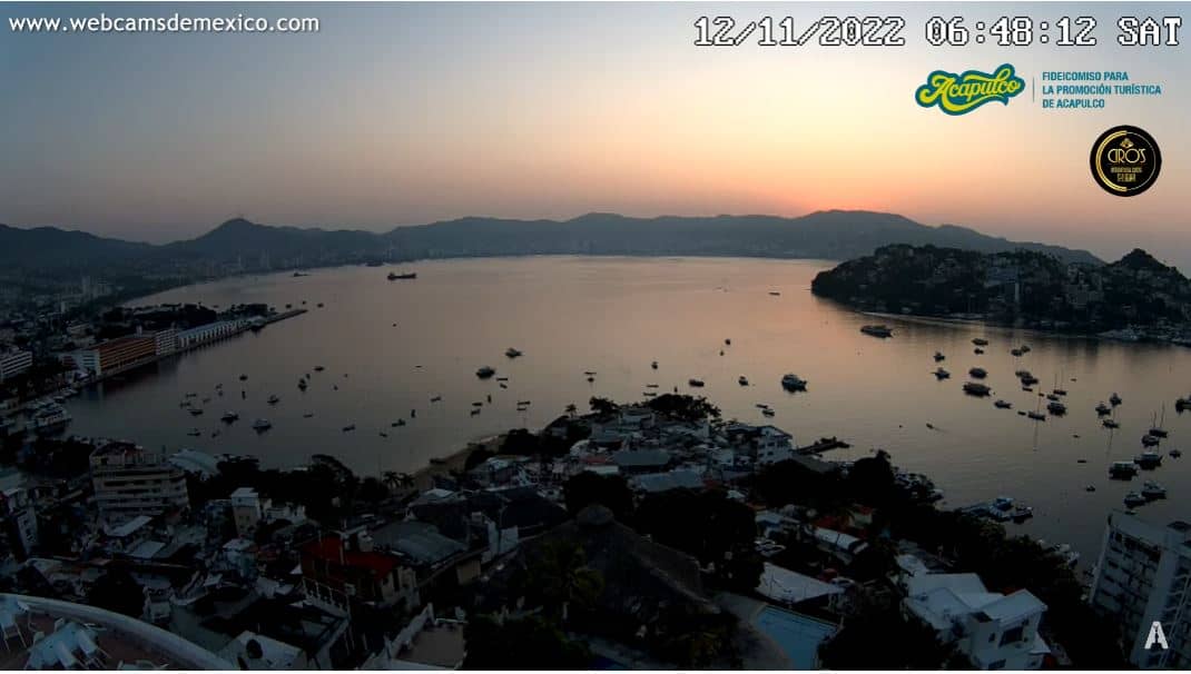
Acapulco
Guerrero, Mexico — 197 km
🇲🇽 Guerrero · Mexico — Altitude 12 m
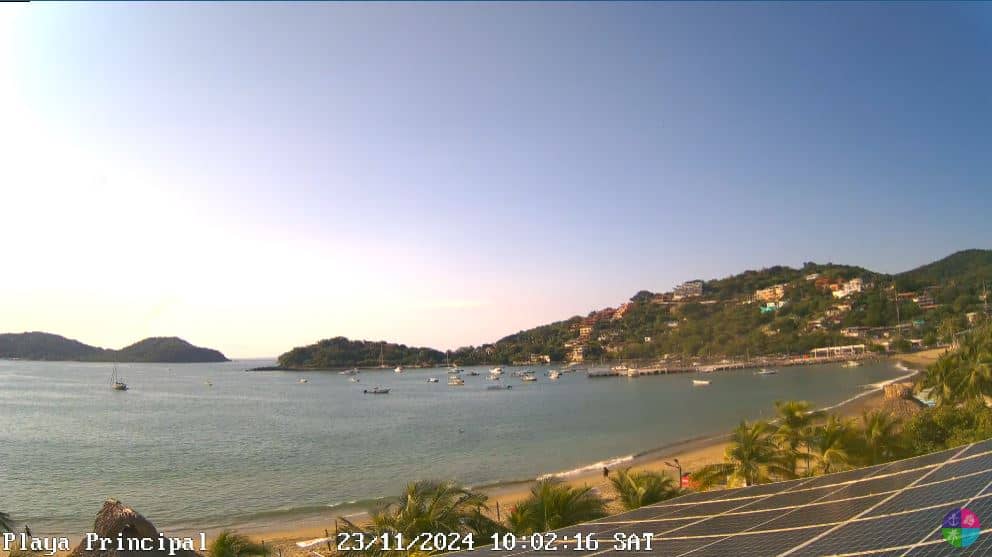
This live camera looks out over Zihuatanejo, a fishing town on Mexico's Pacific coast in the state of Guerrero. It is useful for checking conditions by the water before you travel or simply for seeing how a classic Pacific resort town looks right now.
Zihuatanejo sits on a bay a short distance from the larger resort of Ixtapa. Its character is more relaxed than its neighbours: a working harbour, small restaurants and beaches where local fishing boats are still pulled up on the sand. The town is known for its laid-back pace and for the Playa La Ropa area, which draws travellers who want quiet days by the sea. The surrounding hills are green for much of the year and descend steeply to the water.
The view is embedded from the source owner's stream, so the picture quality and framing are theirs to control. Depending on the angle, you may see the bay, boats moving in and out, and the shoreline. Mornings tend to be calm and good for seeing the water, while late afternoon often brings clouds building over the hills. Watching around sunset can show how the light changes over the bay.
Zihuatanejo has a tropical climate with a hot, wet season from roughly June to October and drier, cooler conditions from November to April, which many visitors prefer. Getting there usually means flying to Ixtapa-Zihuatanejo airport or travelling by road from Mexico City or Acapulco. Other cameras in the region include ones in Acapulco, about 197 km away, so you can compare coastal conditions along the route.
Source: IxyZih
Guerrero, Mexico — 197 km
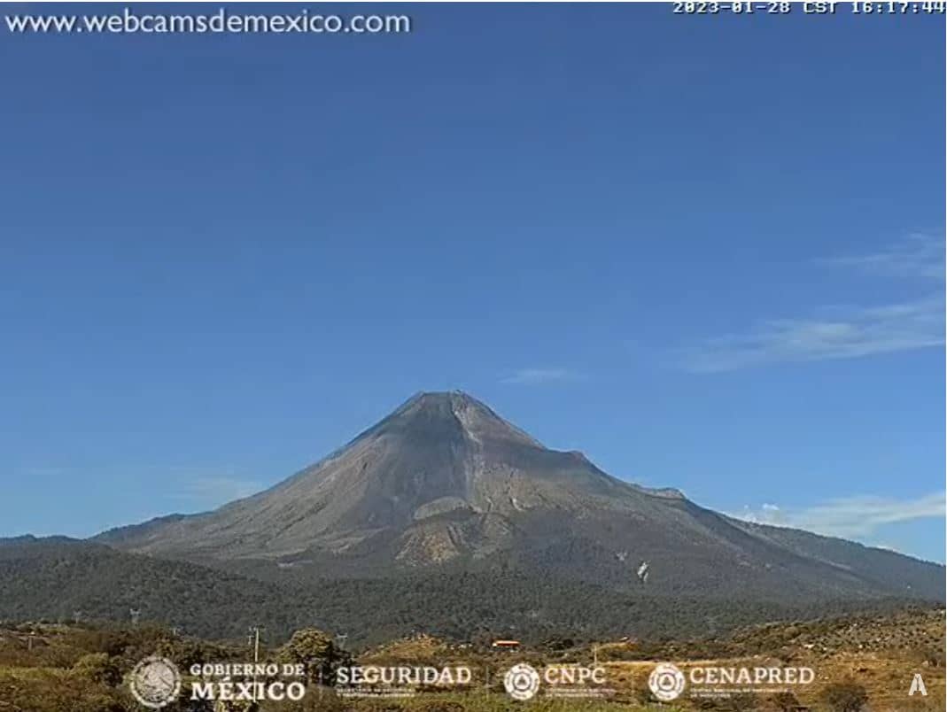
Colima, Mexico — 302 km
State of Mexico, Mexico — 318 km
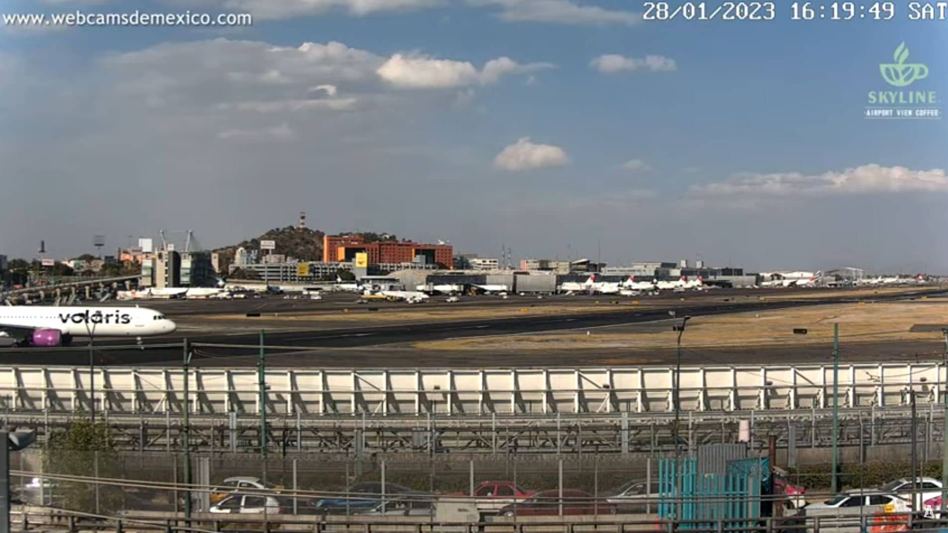
State of Mexico, Mexico — 329 km
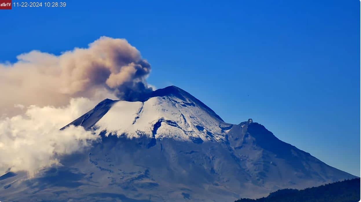
Puebla, Mexico — 345 km
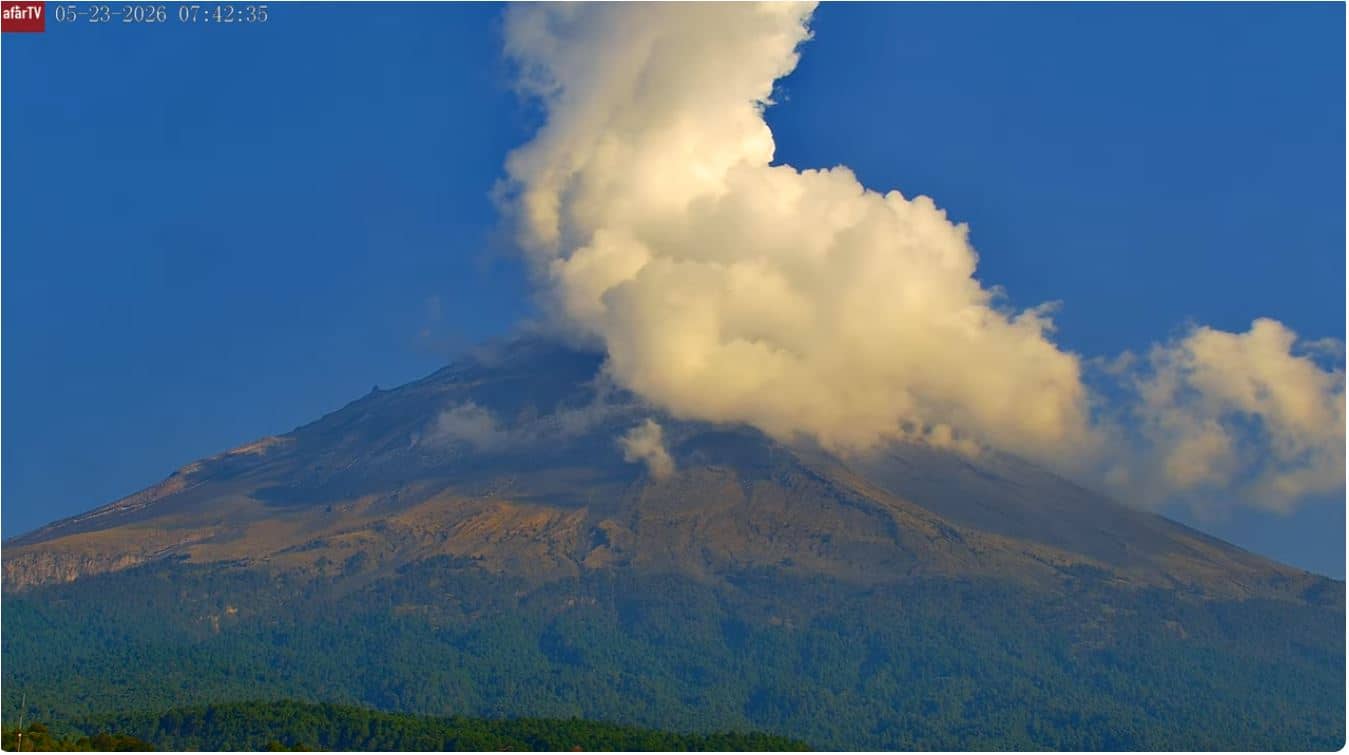
Puebla, Mexico — 349 km
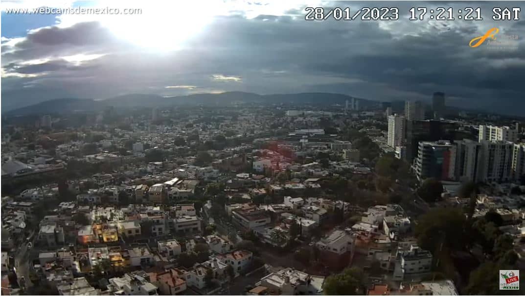
Jalisco, Mexico — 389 km
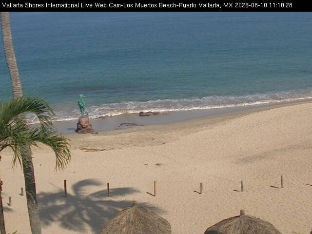
Jalisco, Mexico — 508 km
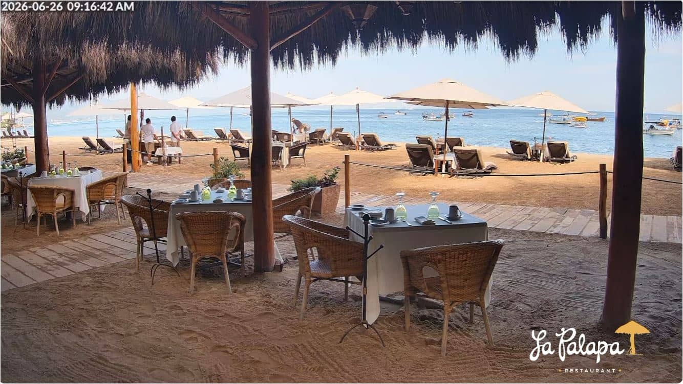
Jalisco, Mexico — 512 km
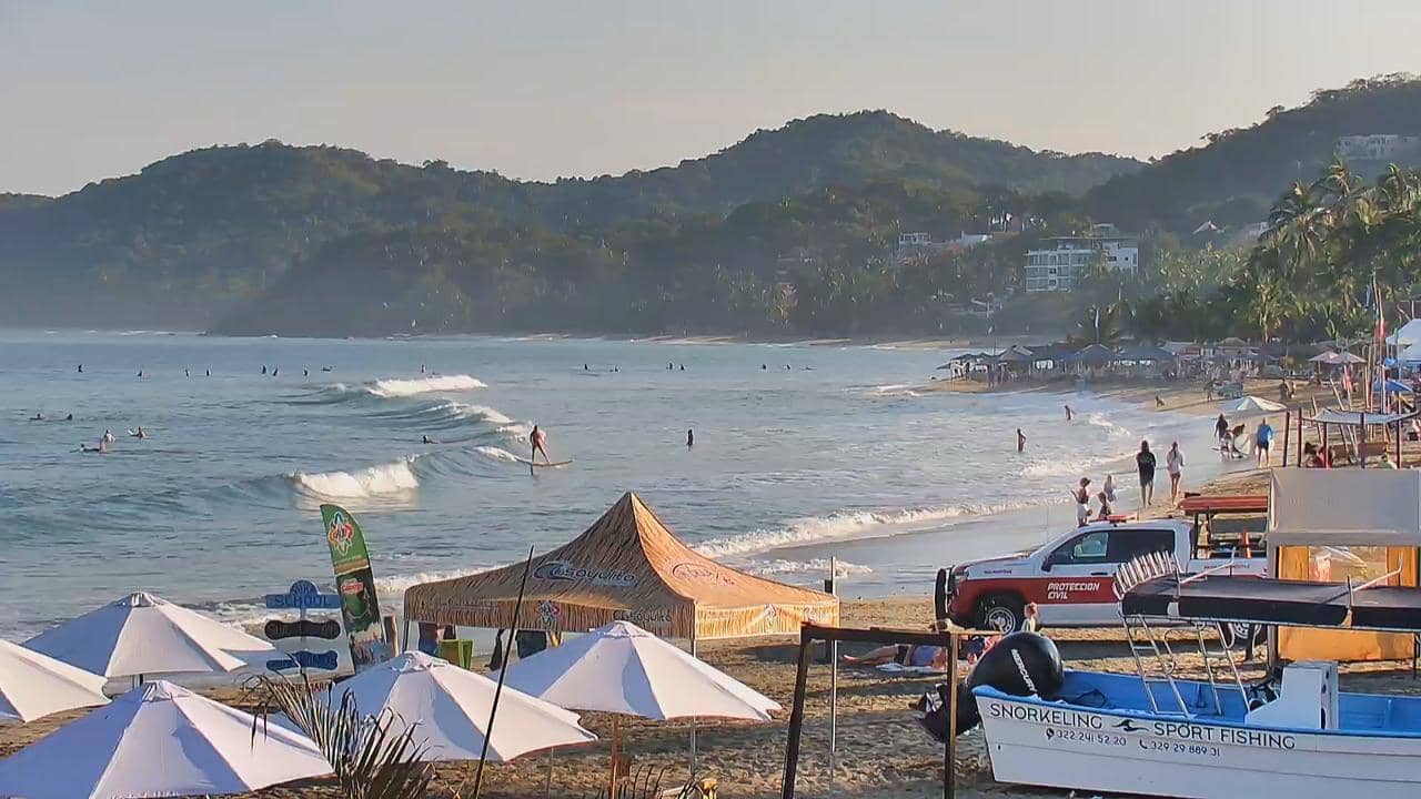
Nayarit, Mexico — 543 km
The current conditions and a three-day forecast are shown in the live weather block on this page. They update automatically, so you can check before deciding when to go to the beach or travel.
The local time is displayed on this page and follows Mexico's local time zone. Use it to plan calls or to see whether it is daylight at the beach.
The camera is located in Zihuatanejo in the state of Guerrero on Mexico's Pacific coast. The map on this page marks its position, and the nearby cameras are listed for comparison.
Many people watch in the morning when the bay is calm, or in late afternoon when the light is warm. Check the live weather to see whether clouds are likely over the hills.
Partner links: we may earn a commission at no extra cost to you.