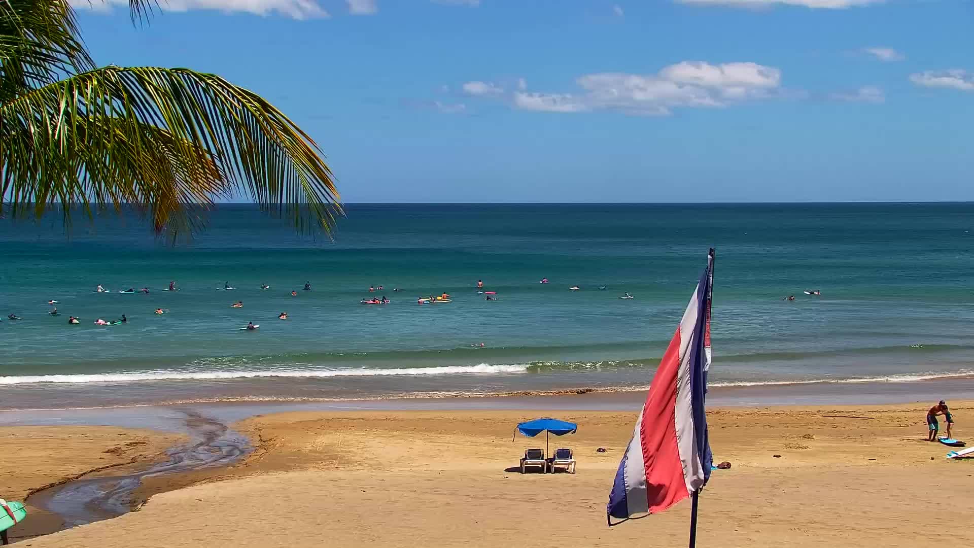
Tamarindo - WRSCLIVE
Guanacaste, Costa Rica — 0.2 km
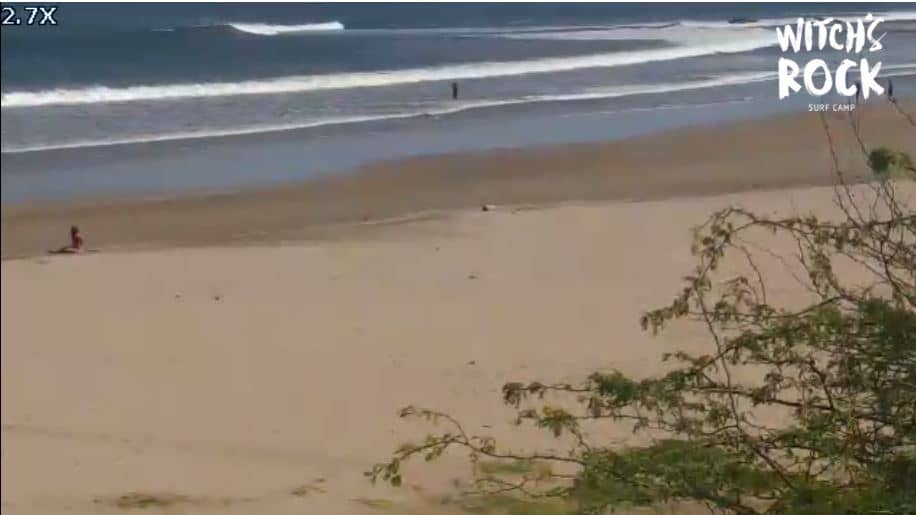
🇨🇷 Guanacaste · Costa Rica — Altitude 5 m
This live camera looks out over Tamarindo, a surf town on the Pacific coast of Guanacaste in northwestern Costa Rica. Open it to check on the coast before you plan a day on the water or simply to see how the town looks right now.
Tamarindo sits on the Guanacaste coast, where dry tropical forest meets a long sandy shoreline. It grew from a fishing village into one of the country's best-known surf destinations, and its streets mix small hotels, restaurants and surf schools. The wider region is known for its beaches, national parks and volcanoes further inland, which makes the town a common base for travellers exploring the northwest.
The view is most useful for judging the sea and sky: surf height, wind, cloud cover and how busy the beach looks. Mornings are often calmer on the water, while afternoons can bring stronger wind and building clouds. Sunset is a popular time to watch the coast, and the live feed lets you see conditions before you head down to the sand.
Guanacaste has a dry season from roughly December to April, with sunnier skies and less rain, and a green season from May to November, when showers are common but usually short. Tamarindo is reached by road from Liberia airport, which is the usual route in. Nearby cameras on this site show other parts of Costa Rica, including Cartago, which lies much farther inland.
Source: Witch's Rock
Guanacaste, Costa Rica — 0.2 km
Heredia, Costa Rica — 192 km
Heredia, Costa Rica — 192 km
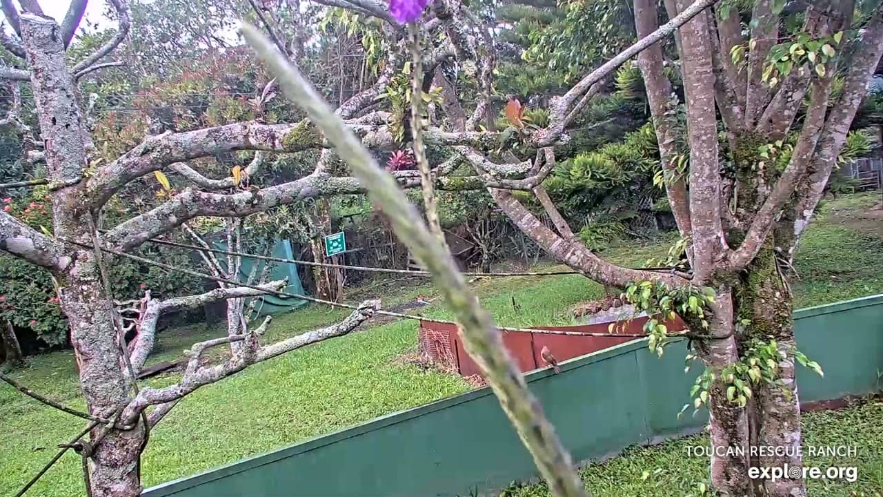
Heredia, Costa Rica — 192 km
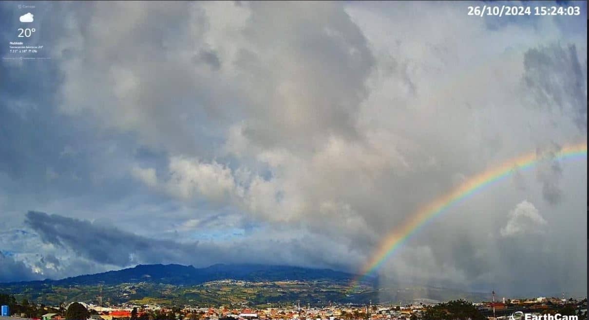
Cartago Province, Costa Rica — 215 km
Cartago Province, Costa Rica — 241 km
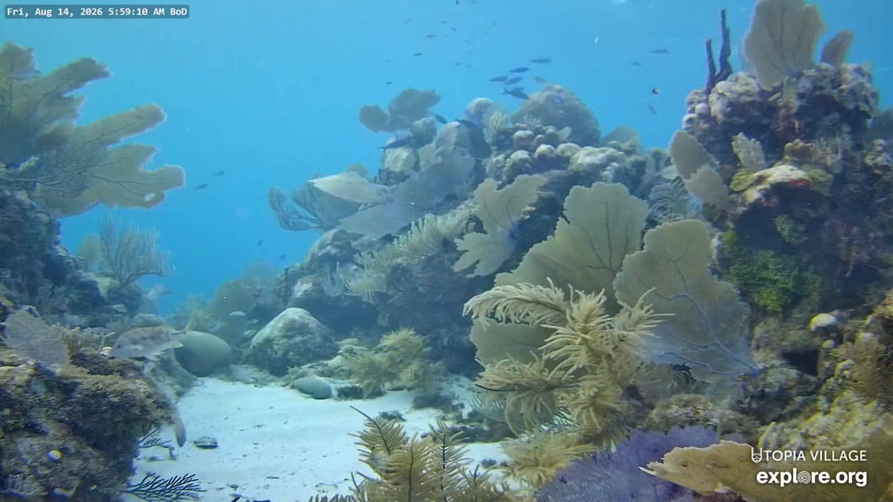
Bay Islands, Honduras — 655 km
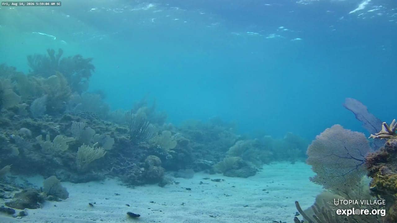
Bay Islands, Honduras — 655 km
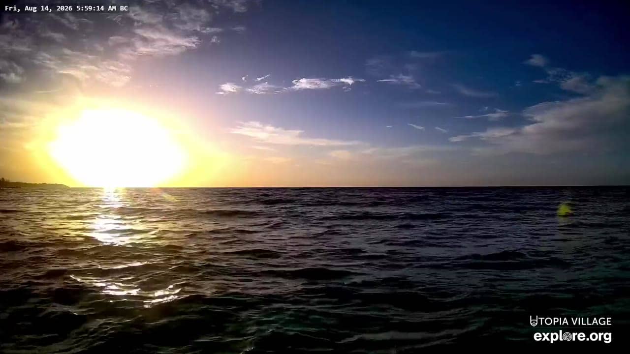
Bay Islands, Honduras — 655 km
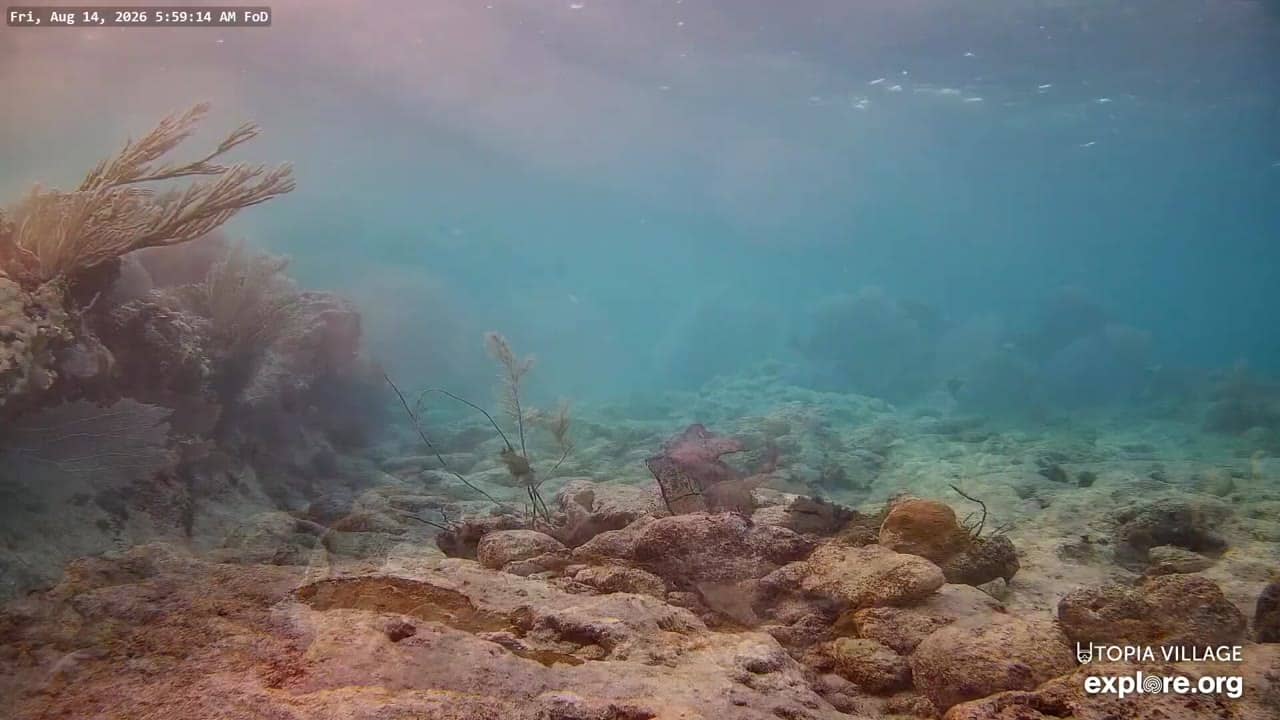
Bay Islands, Honduras — 655 km
The current conditions and a 3-day forecast are shown in the weather block on this page. They update with the page, so you can check before going to the beach.
The local time for Tamarindo is shown on this page next to the camera. Costa Rica does not change its clocks for daylight saving time.
The camera is in Tamarindo on the Pacific coast of Guanacaste, Costa Rica. The map on this page marks its position and the surrounding area.
Early morning and late afternoon are useful for checking surf and wind, since conditions often change through the day. The stream is provided by its owner, Witch's Rock, and is embedded here with a link to the source.
Partner links: we may earn a commission at no extra cost to you.