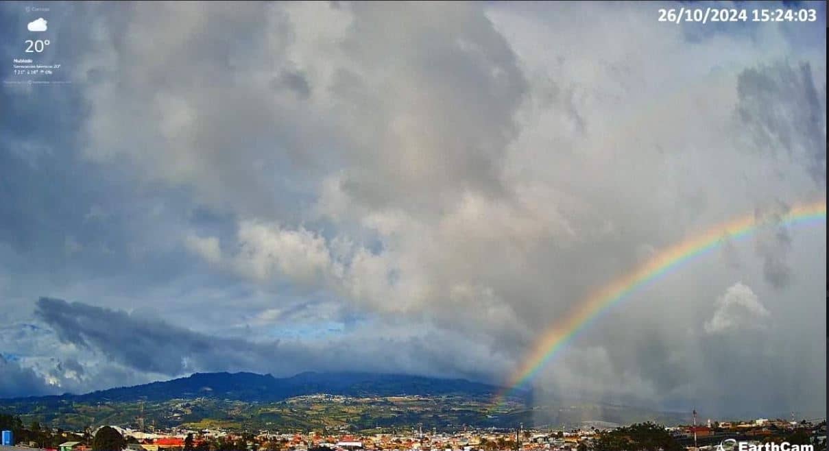
Cartago
Cartago Province, Costa Rica — 27 km
Cartago - Costa Rica, Cartago en vivo!
🇨🇷 Cartago Province · Costa Rica — Altitude 638 m
This live stream shows Cartago, a city in the central highlands of Costa Rica. Watch it to get a sense of the view and conditions here before you plan a trip or simply to keep an eye on the weather in the region.
Cartago is the former capital of Costa Rica and sits in the Central Valley, surrounded by volcanic mountains at an elevation of roughly 640 metres. It is known for its colonial-era churches, most notably the Basilica of Nuestra Senora de los Angeles, and for being a gateway to the country's highland landscapes and coffee-growing areas. The air is cooler than on the coasts, and the city has a calm, traditional character.
The camera is categorised as a beach view, so the scene may differ from a typical city street. Depending on the framing, you may notice clouds moving over the surrounding hills, changes in light through the day, or the rain that often arrives in the afternoon during the wet season. Early mornings tend to offer the clearest skies, while late afternoon can bring cloud build-up. The picture is a live feed, so conditions can change quickly.
Cartago has a mild highland climate, with temperatures that are usually cooler than in the lowlands. The dry season runs roughly from December to April and is generally the most pleasant time to visit. The city is about an hour's drive from San Jose, and nearby cameras on this site include Cartago at a distance of 27 km, along with two other cameras elsewhere in Costa Rica for comparison.
Source: myearthcam.com
Cartago Province, Costa Rica — 27 km

Heredia, Costa Rica — 51 km
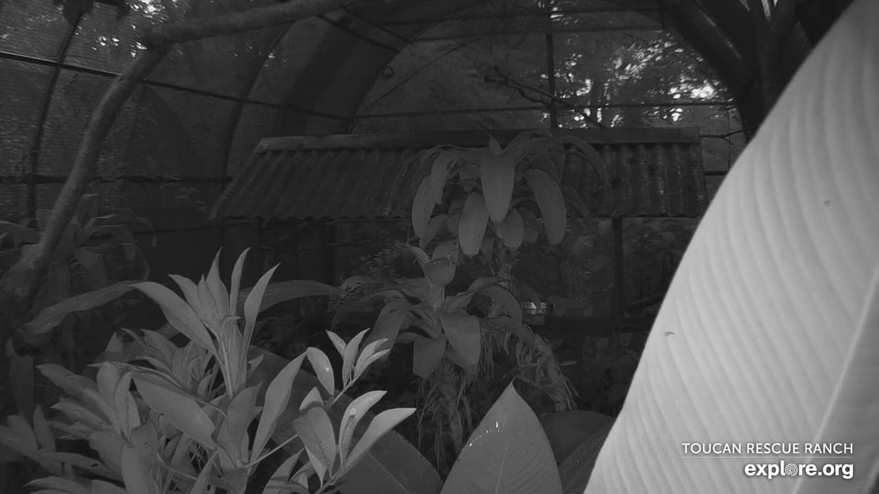
Heredia, Costa Rica — 51 km
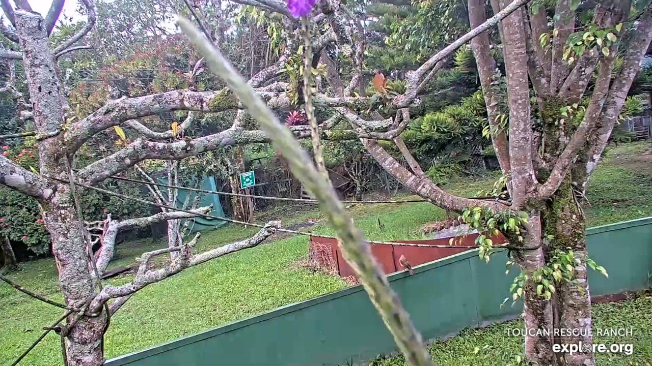
Heredia, Costa Rica — 51 km
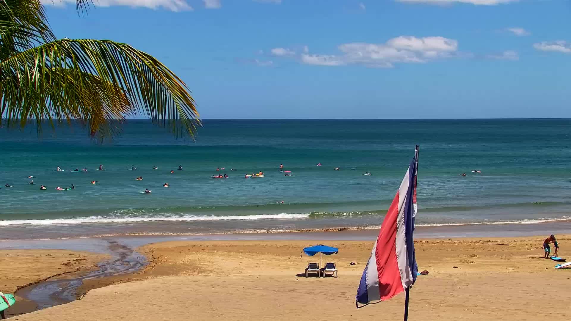
Guanacaste, Costa Rica — 241 km
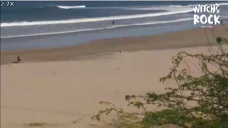
Guanacaste, Costa Rica — 241 km
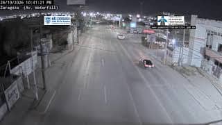
Panama Province, Panama — 466 km
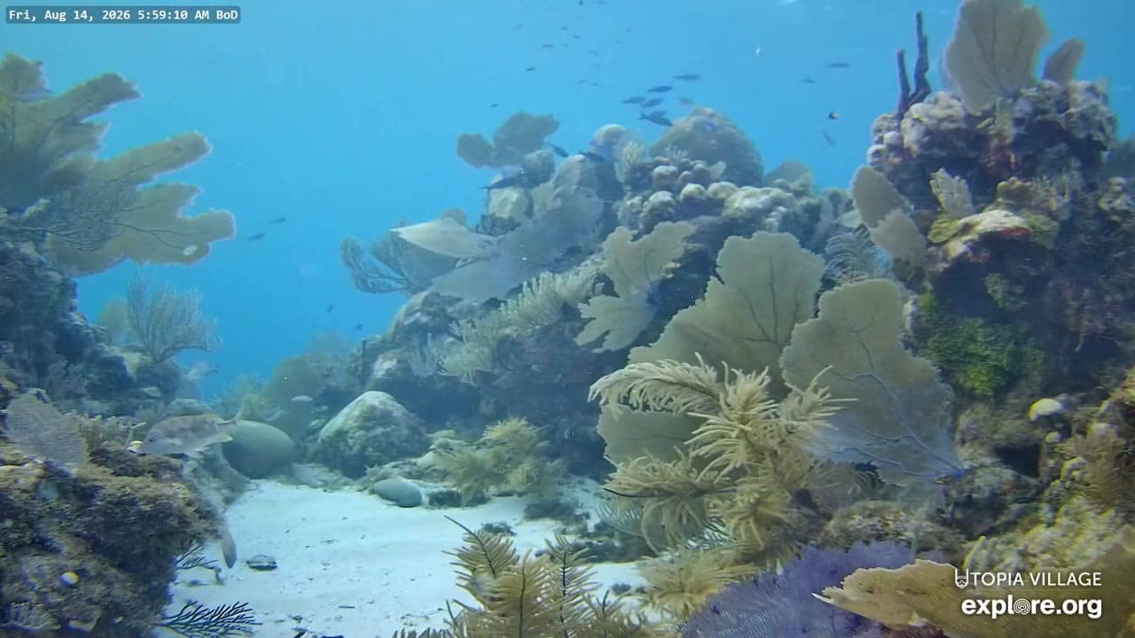
Bay Islands, Honduras — 780 km
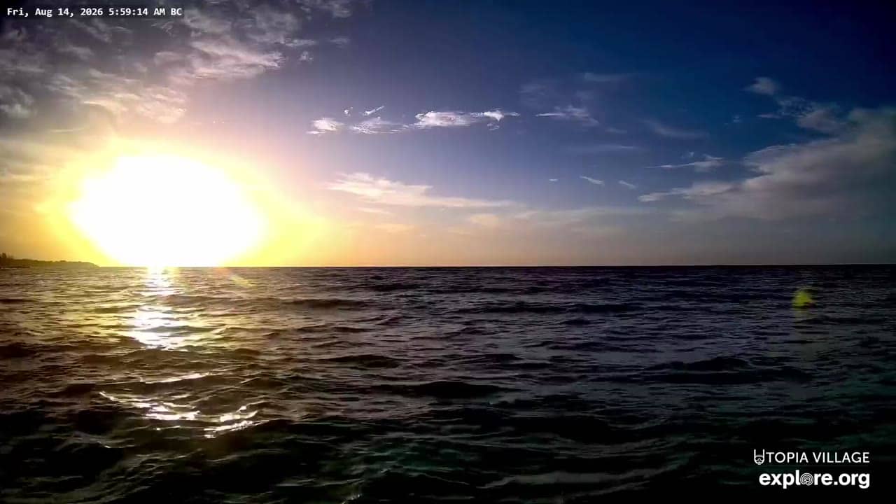
Bay Islands, Honduras — 780 km
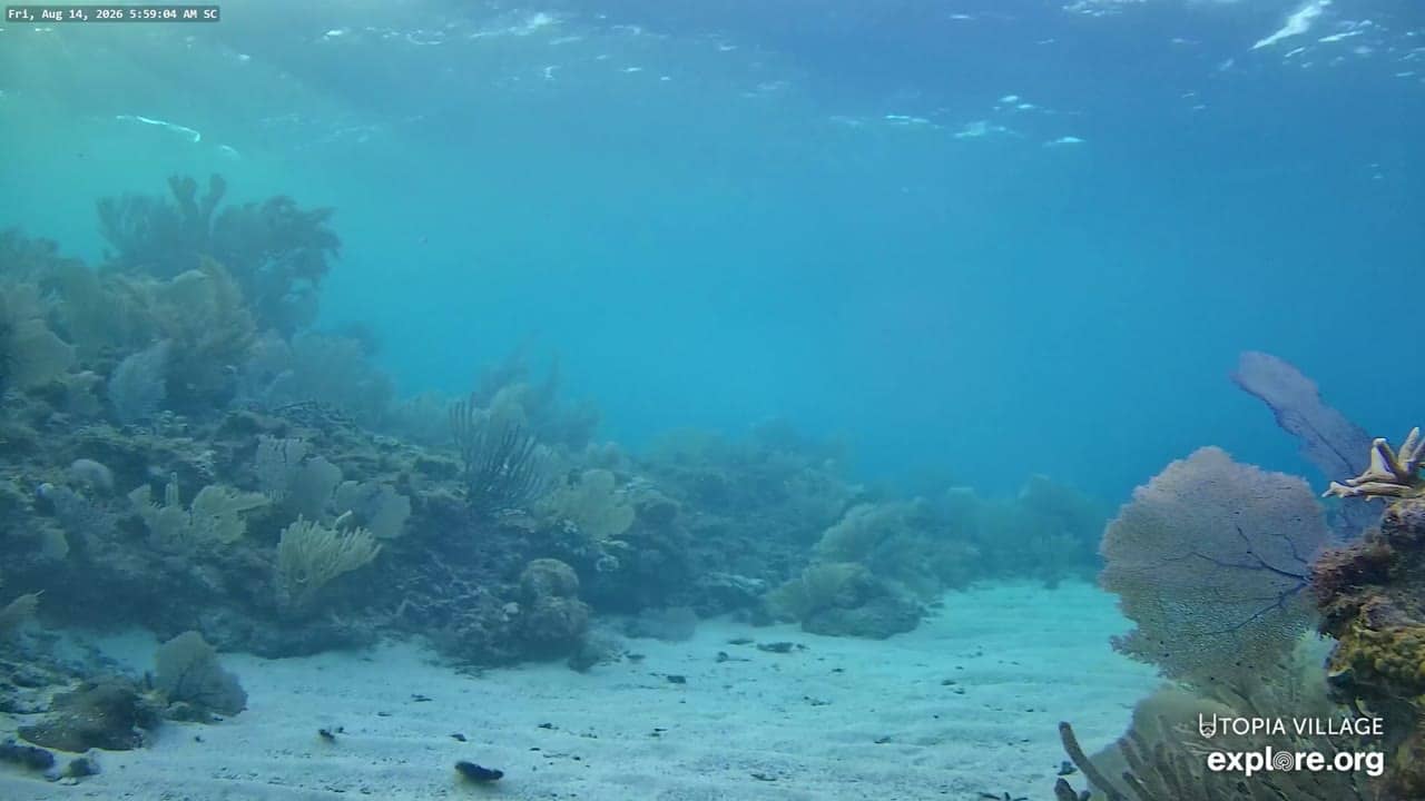
Bay Islands, Honduras — 780 km
The current conditions and a 3-day forecast are shown in the live weather block on this page, updated automatically for the location.
The local time is displayed on this page and updates live, so you can check it without converting from another time zone.
The camera is in Cartago Province in central Costa Rica at an elevation of about 640 metres. The map on this page shows its position.
Daytime hours give the clearest view of the surroundings, and the dry season from December to April usually brings the most stable conditions.
Partner links: we may earn a commission at no extra cost to you.