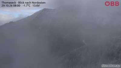
Thomaseck - Vue vers le nord-est
Salzburg, Austria — 5.2 km
Hagener Hütte - Vue vers le sud-ouest sur le Vorderer Geißlkopf
🇦🇹 Salzburg · Austria — Altitude 2446 m
This camera looks southwest from the Hagener Hütte, a mountain hut at about 2,446 metres in the Salzburg part of the Hohe Tauern. It is useful for checking the state of the peaks, cloud cover and snow before planning a hike or a high-altitude visit. The live player below shows the current image, and the weather and local time blocks update alongside it.
The Hohe Tauern is the largest mountain range in the Eastern Alps and includes the highest peaks in Austria. The Hagener Hütte sits in the Salzburg part of this range, where steep rock faces, glacial valleys and alpine meadows meet. Mountain huts like this one serve as bases for walkers and climbers and are typically reached on foot along marked trails. The surrounding landscape changes quickly with altitude, so the same view can look very different from one day to the next.
The camera is aimed toward the Vorderer Geißlkopf, a summit that the view is named after. Depending on the conditions, you may see clear ridgelines, drifting cloud, fresh snow or the shadows of late afternoon on the rock faces. Early morning and evening often bring the most contrast, while summer shows more green on the slopes and winter shows more white. Watching for a few minutes can help you judge whether cloud is building, which is common in the afternoon in mountain areas.
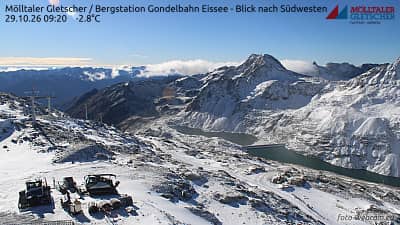
Summer is generally the main season for hut visits, when trails are open and snow has largely melted, though conditions at this altitude can change within hours. Weather can turn quickly, so checking the live forecast on this page before setting out is sensible. Nearby cameras on VizCams include Thomaseck, looking northeast, and several views from the Mölltaler Gletscher area, which can help you compare conditions across the range.
Source: foto-webcam.eu
Salzburg, Austria — 5.2 km
Carinthia, Austria — 5.4 km
Carinthia, Austria — 6 km
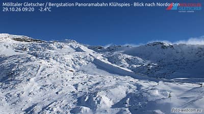
Carinthia, Austria — 6 km
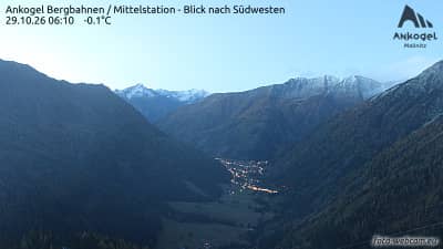
Carinthia, Austria — 7.7 km
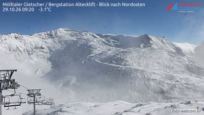
Carinthia, Austria — 8 km
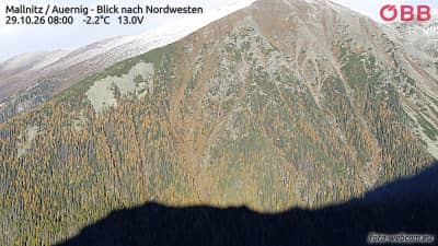
Carinthia, Austria — 8.5 km
Carinthia, Austria — 9.2 km
Carinthia, Austria — 9.3 km
Salzburg, Austria — 9.4 km
The current conditions and three-day forecast are shown in the weather block on this page. Mountain weather changes quickly, so check it again before any hike.
The local time for this camera is displayed on the page, updated live for the Austrian time zone in use there.
The camera is at the Hagener Hütte in the Salzburg region of Austria, at about 2,446 metres altitude. The map on this page shows its position.
Early morning and late afternoon often give the clearest light on the peaks, while summer offers the most visible trail activity and winter the most snow cover.
Partner links: we may earn a commission at no extra cost to you.