
Cody - Yellowstone Regional Airport
Wyoming, United States — 3.6 km
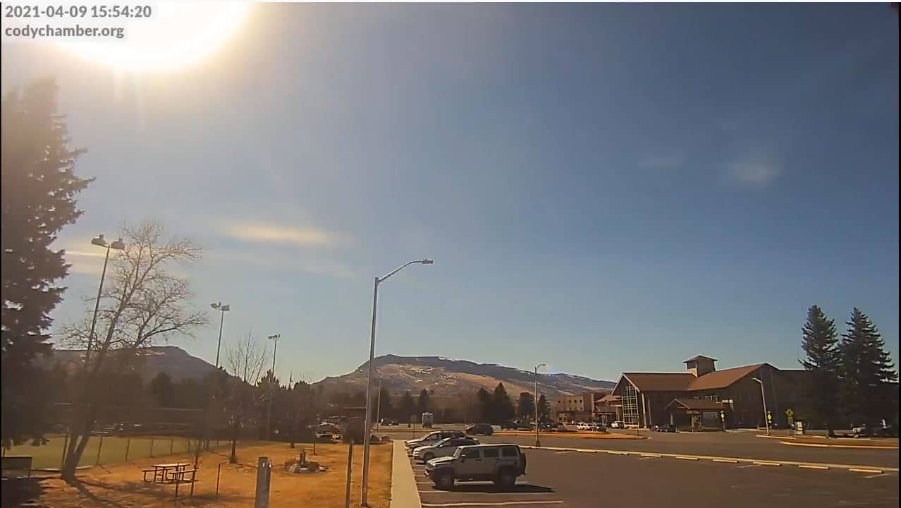
🇺🇸 Wyoming · United States — Altitude 1527 m
This live stream looks over Cody, a town in northwestern Wyoming at about 1,527 metres above sea level. Watch it to get a feel for the high-plains weather and the mountain light that shapes the day in this part of the American West.
Cody sits on the North Fork of the Shoshone River, at the eastern gateway to Yellowstone National Park. It was founded in the late nineteenth century by Buffalo Bill Cody and still keeps a strong Western character, with rodeo, museums and outfitters tied to the surrounding wilderness. The town lies in a broad valley with the Absaroka Range rising to the west, so the skyline changes noticeably with the seasons and the weather.
Because the camera is aimed at a mountain town rather than a single landmark, the most rewarding moments are usually early morning and late afternoon, when low sun picks out the ridges. Clouds building over the peaks in summer often signal afternoon showers, and fresh snow on the higher slopes is easy to spot in spring and autumn. Check the live view against the weather block on this page to see how conditions are developing.
Summers are warm and dry during the day with cool nights, and the most popular months for visiting are June through September. Winters are cold and snowy, and mountain roads can close briefly. Cody Yellowstone Regional Airport lies a few kilometres away, and other nearby cameras on this site cover the airport and the western approach to town.
Source: Cody Chamber
Wyoming, United States — 3.6 km
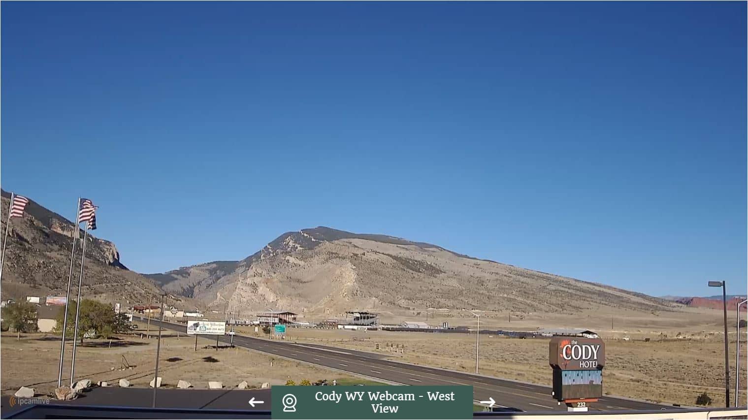
Wyoming, United States — 4.7 km
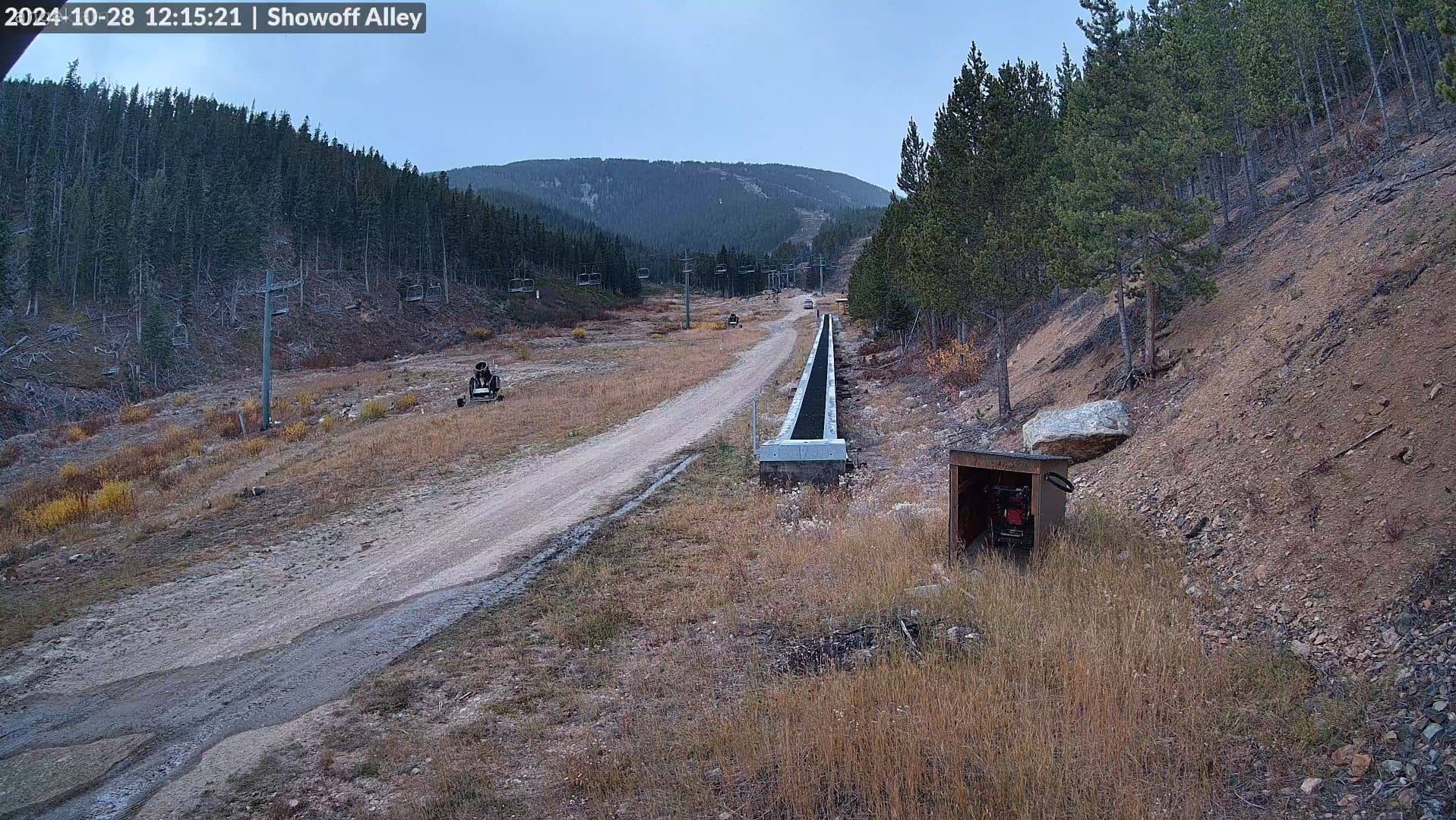
Montana, United States — 77 km
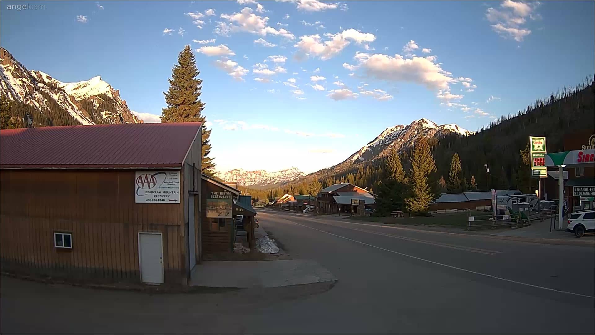
Montana, United States — 88 km
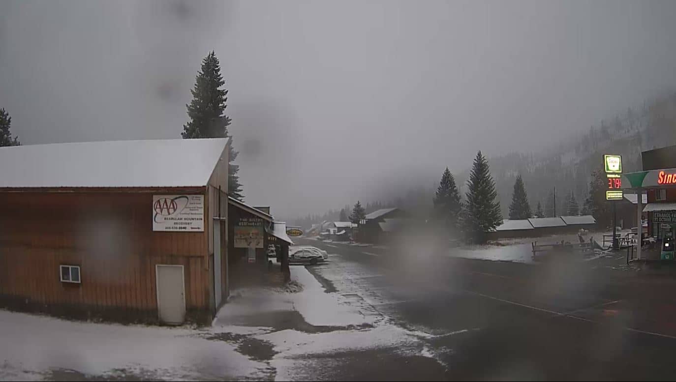
Montana, United States — 88 km
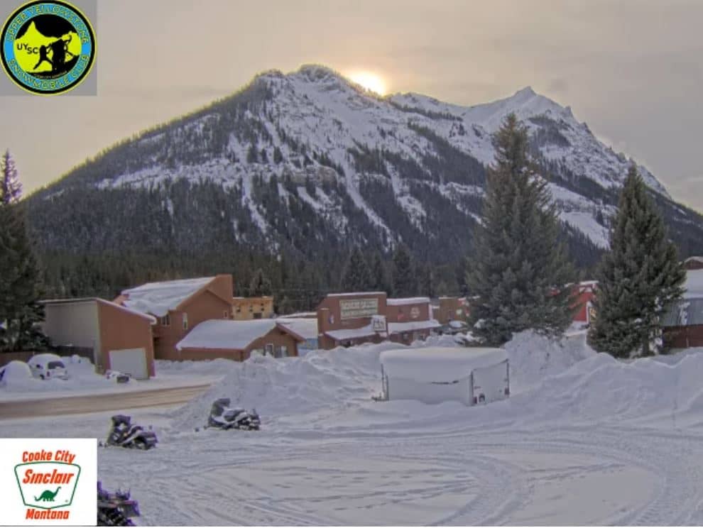
Montana, United States — 91 km
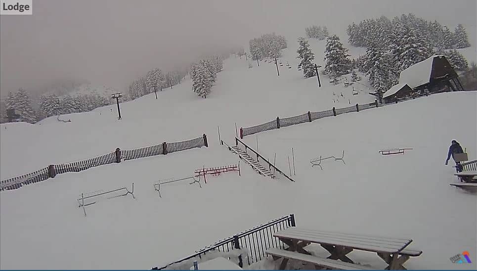
Wyoming, United States — 94 km
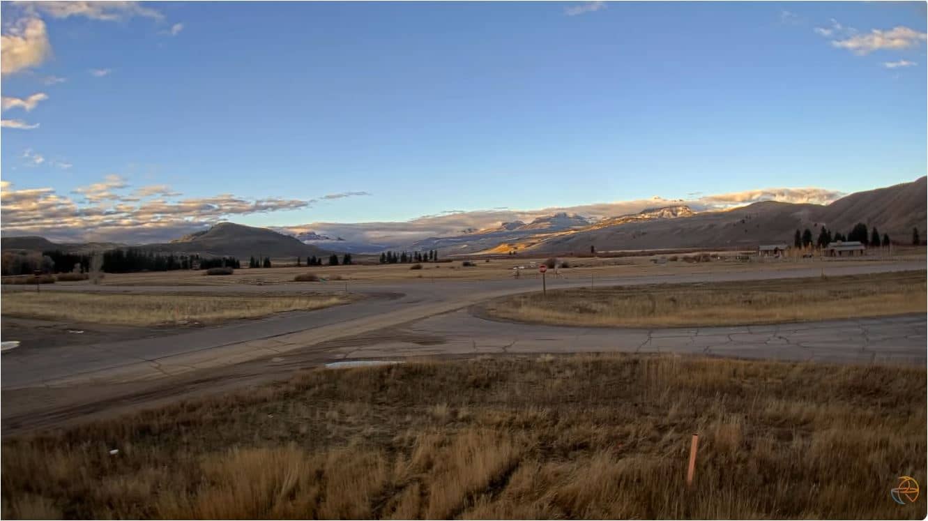
Wyoming, United States — 116 km
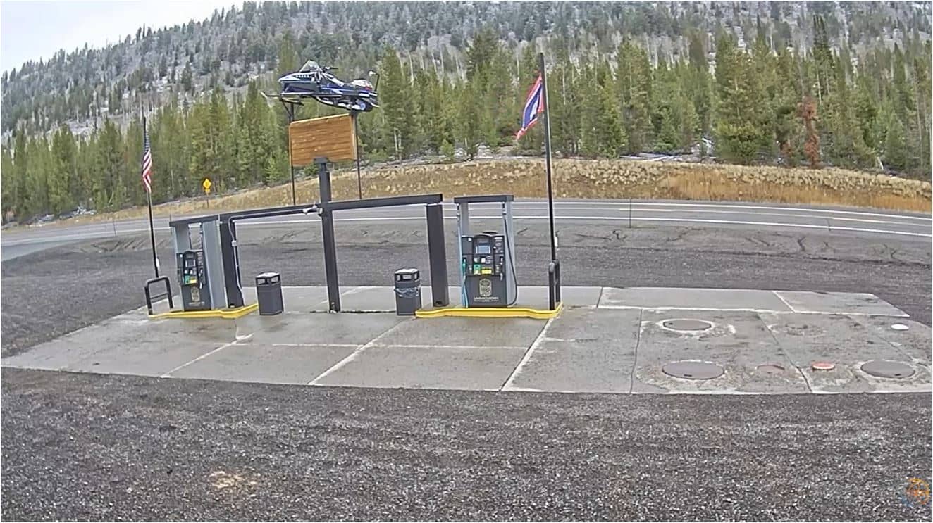
Wyoming, United States — 116 km
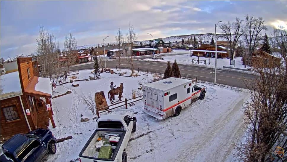
Wyoming, United States — 119 km
The current conditions and a three-day forecast for Cody are shown in the weather block on this page. They update automatically, so you can compare them with what the live stream shows.
The local time for Cody is displayed on this page and follows the Mountain time zone used across Wyoming. The clock updates automatically alongside the live view.
The camera is located in Cody, Wyoming, at roughly 44.53 degrees north and 109.07 degrees west. The map on this page shows its position relative to the town and nearby highways.
Early mornings and late afternoons often give the clearest light on the surrounding mountains. Summer and early autumn are generally the most settled months for seeing the valley in good detail.
Partner links: we may earn a commission at no extra cost to you.