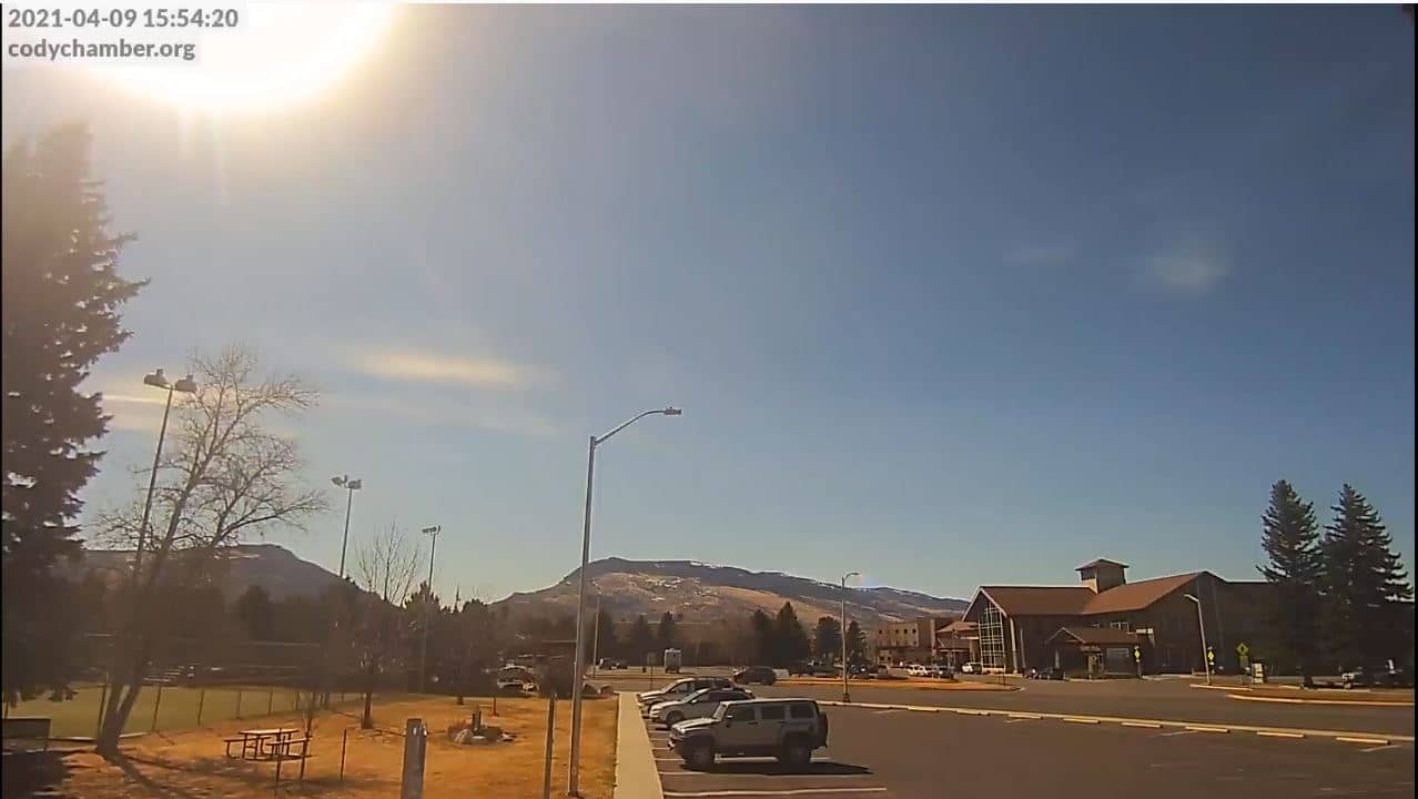
Cody
Wyoming, United States — 3.6 km

Cody - Yellowstone Regional Airport
🇺🇸 Wyoming · United States — Altitude 1555 m
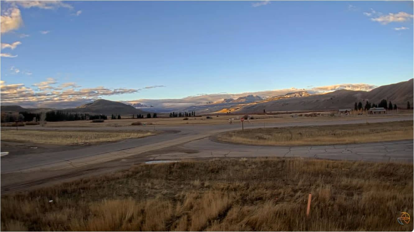
This live camera looks out over Yellowstone Regional Airport in Cody, a town on the eastern edge of the Greybull River valley in northwestern Wyoming. It is useful for checking conditions at the airfield before a flight or a drive into the mountains, and for seeing how the weather is moving across the valley.
Cody sits at roughly 1,555 metres above sea level, where the open high plains meet the foothills of the Absaroka Range. The town was founded in the 1890s by William F. Cody and is widely known as a gateway to Yellowstone National Park, which lies a few hours' drive to the west. The surrounding landscape is dry sagebrush country, with cottonwoods along the river and snow-capped peaks on the horizon in the cooler months.
The title names the airport, so the view is centred on the airfield and the valley beyond it rather than on the town itself. Depending on the angle, you may see runway activity, small aircraft, and the weather building over the surrounding ridges. Early mornings often bring clear air and long shadows, while afternoons in summer can produce towering clouds and sudden showers over the mountains.
Cody has a semi-arid high-desert climate with warm, dry summers and cold winters, and spring and autumn can change quickly. Summer is the busiest season for visitors heading to Yellowstone. Other cameras nearby include the Cody view at about 4 km, the Cody West View at about 8 km, and cameras in Red Lodge and Cooke City further away, which are useful for comparing mountain conditions.
Source: Yellowstone Regional Airport
Wyoming, United States — 3.6 km
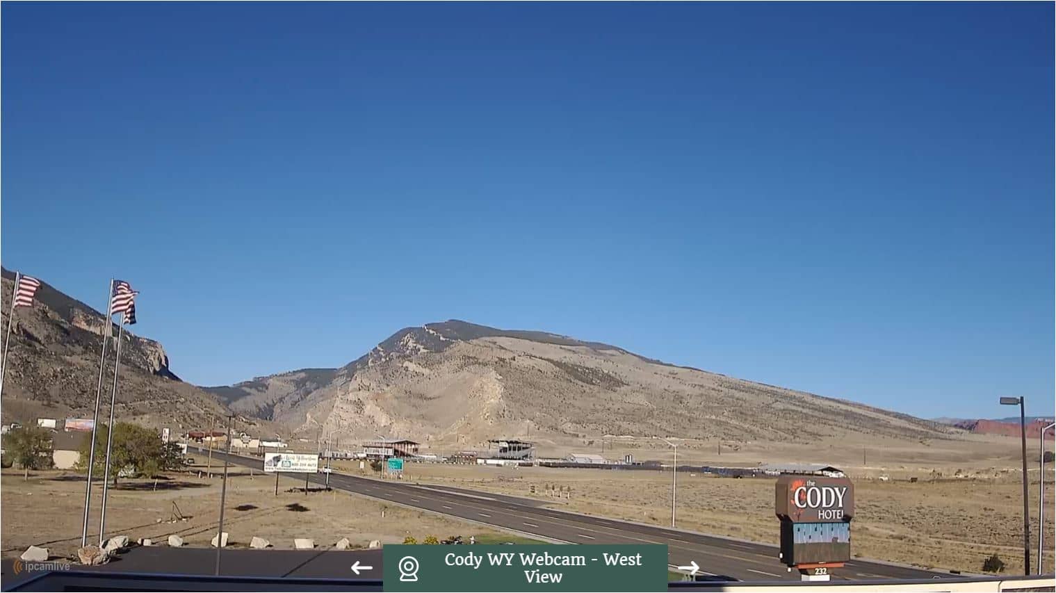
Wyoming, United States — 8 km
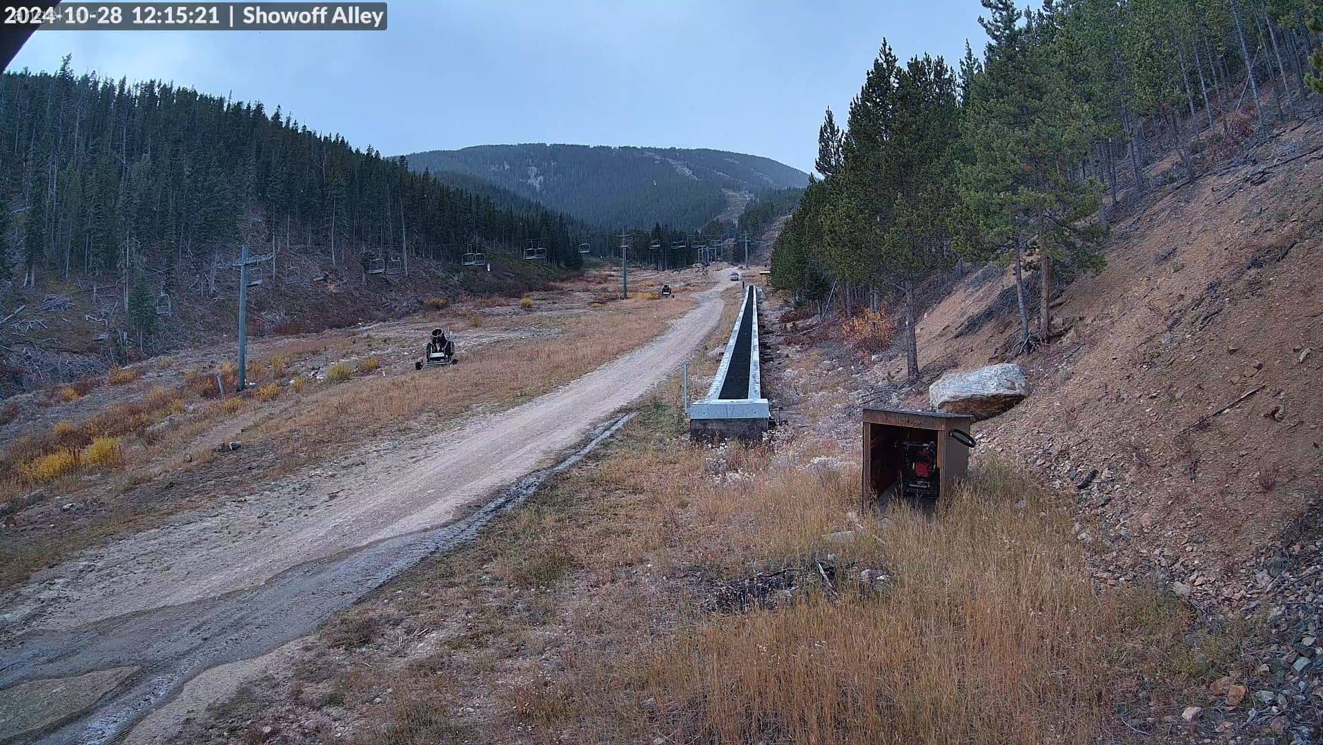
Montana, United States — 79 km
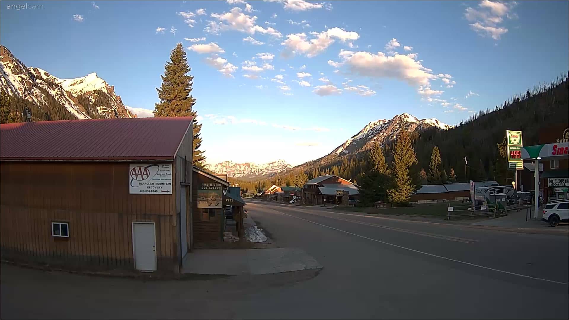
Montana, United States — 91 km
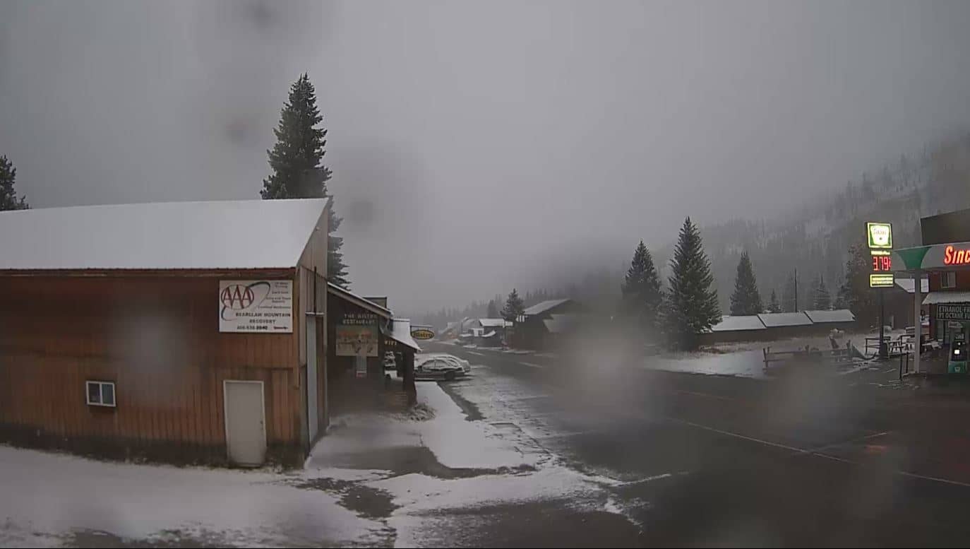
Montana, United States — 91 km
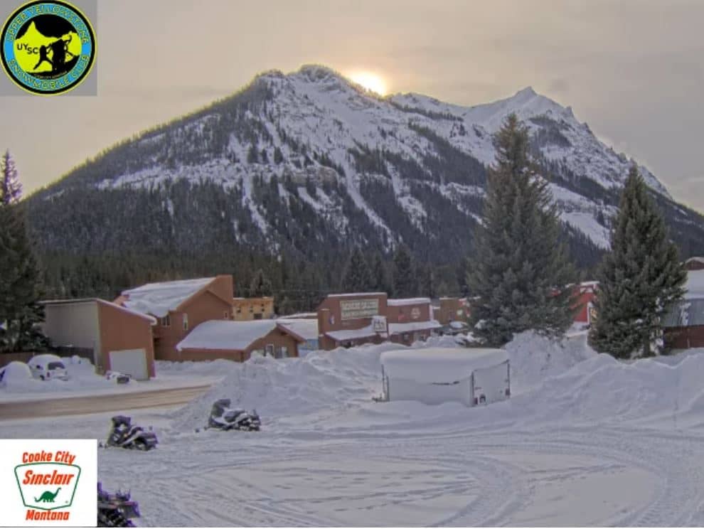
Montana, United States — 95 km
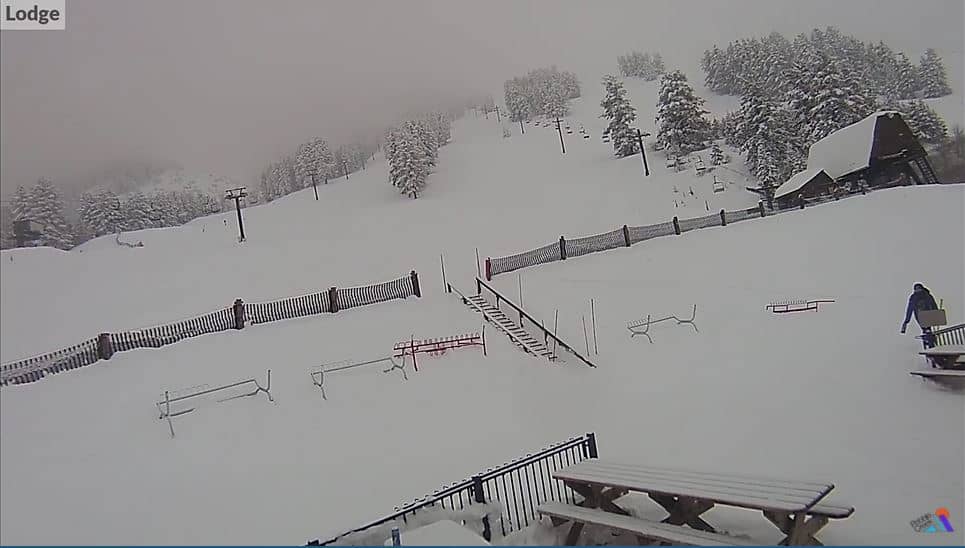
Wyoming, United States — 97 km
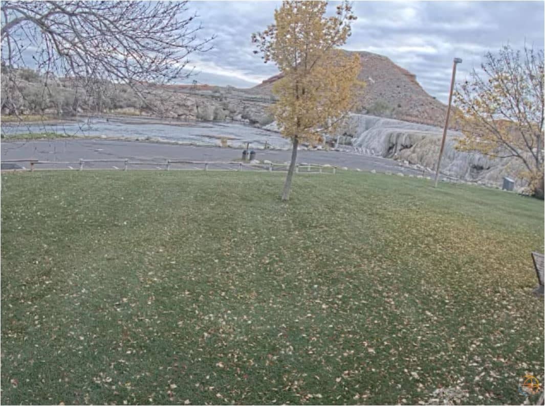
Wyoming, United States — 117 km
Wyoming, United States — 117 km
Wyoming, United States — 118 km
The current conditions and a three-day forecast for Cody are shown in the live weather block on this page. They update with the page, so check there before planning travel to or from the airport.
The local time for Cody is displayed on this page and follows the Mountain time zone used in that part of Wyoming. The clock is updated automatically.
The camera overlooks Yellowstone Regional Airport in Cody, Wyoming, at about 44.52 north and 109.02 west. The map on this page marks its position relative to the town.
Clear early mornings and late afternoons are often the most readable, while summer afternoons can bring cloud build-up over the mountains. Winter views depend heavily on snow and visibility.
Partner links: we may earn a commission at no extra cost to you.