Kittitas County - Silver Fir - Base Area
Washington, United States — 1.6 km
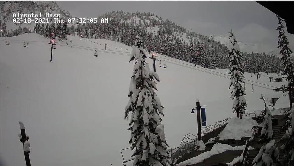
Snoqualmie
🇺🇸 Washington · United States — Altitude 1085 m
This camera looks out over Snoqualmie Pass in the Cascade Range of Washington State, a high mountain crossing on Interstate 90. It suits anyone planning a drive over the pass, tracking snow and cloud, or simply wanting to see the Cascades in real time.
Snoqualmie Pass sits at roughly 1,085 metres in the central Washington Cascades, about an hour east of Seattle. The pass links the wet western side of the range with the drier eastern slopes and is known for its ski areas, forested ridges and sudden changes in weather. Snow is a regular part of life here for much of the year, and the surrounding peaks shape the light and the cloud that move across the valley.
The view changes a great deal with the season. In winter, watch for fresh snow on the roadside and the ridgelines, which often signals chain requirements or delays. Summer views tend to be clearer, with green slopes and longer evenings. Mornings and late afternoons usually bring the most dramatic light, although low cloud can hide the mountains for hours at a time, depending on the weather.
Winter brings the most activity, with skiing and snowboarding nearby, while late summer and early autumn are often the most reliable for driving conditions. Check road status before heading out in colder months. Nearby cameras on VizCams include Silver Fir and Alpental in the surrounding area, plus Skykomish and Crystal Mountain, which give a wider sense of conditions across the range.
Source: The Summit at Snoqualmie
Washington, United States — 1.6 km
Washington, United States — 4.1 km
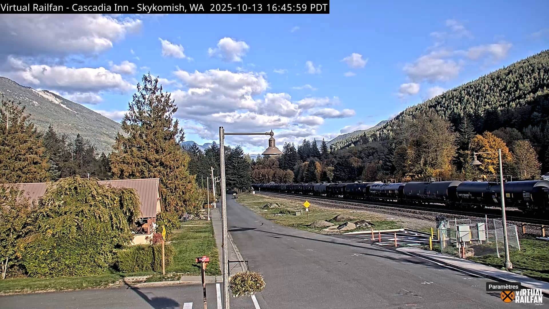
Washington, United States — 34 km

Washington, United States — 53 km
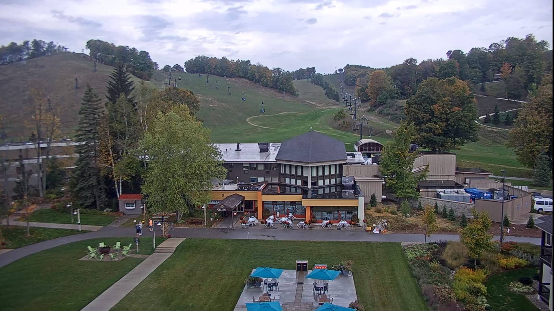
Washington, United States — 54 km
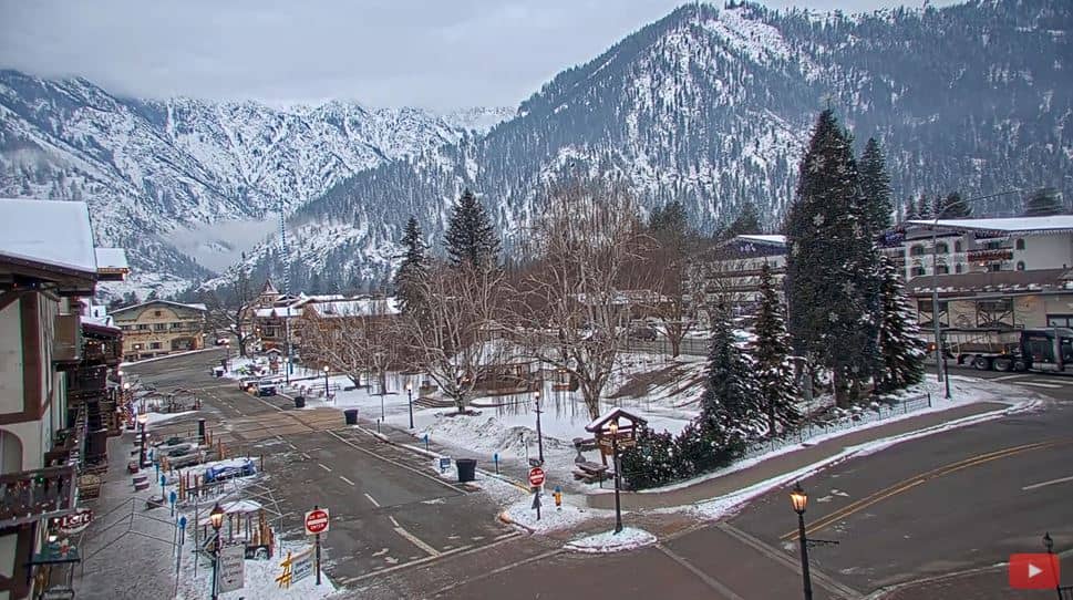
Washington, United States — 60 km
Washington, United States — 62 km
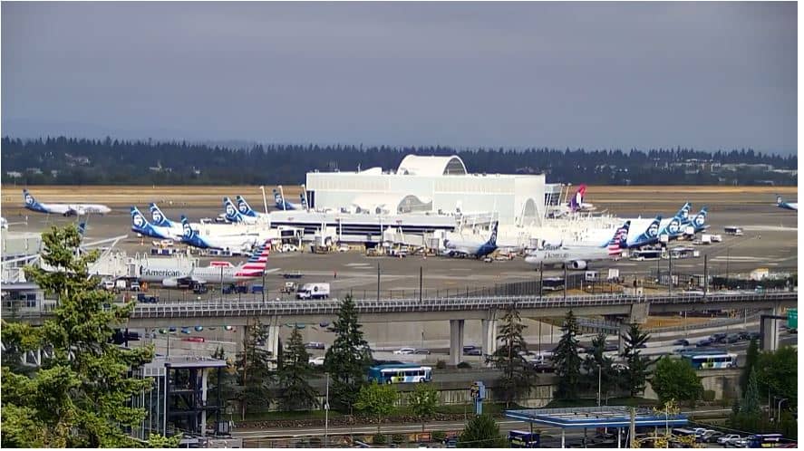
Washington, United States — 66 km
Washington, United States — 70 km
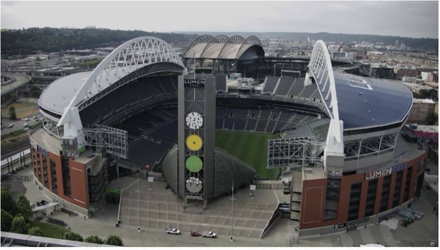
Washington, United States — 71 km
The current conditions for the pass are shown in the live weather block on this page, together with a three-day forecast. Mountain weather can change quickly, so check it before travelling.
The local time for Snoqualmie Pass is shown live on this page. The area follows Pacific time, so it is one hour behind the central United States and three hours behind the US East Coast.
The camera is at the summit area of Snoqualmie Pass, roughly 47.41 north and 121.43 west, at about 1,085 metres above sea level. The map on this page shows its exact position.
Winter mornings after a storm often show the most striking snow, while clear summer evenings give the best visibility of the surrounding peaks. Expect cloud at any time of year.
Partner links: we may earn a commission at no extra cost to you.