
Friday Harbor - San Juan Island
Washington, United States — 0 km
🇺🇸 Washington · United States — Altitude 10 m
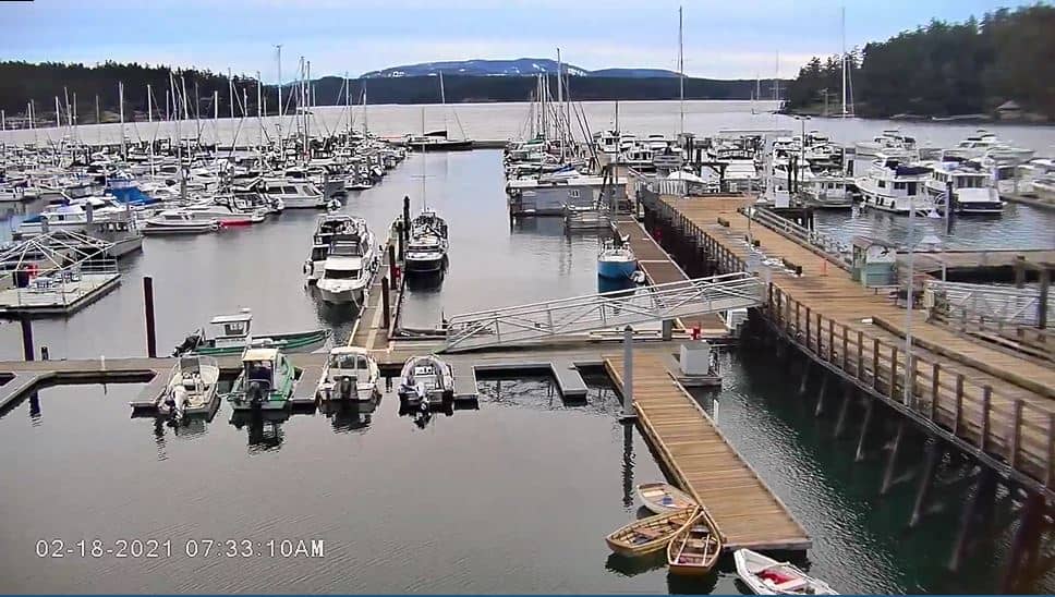
This live camera overlooks the port of Friday Harbor, the main ferry town on San Juan Island in Washington State. It is a useful way to check the harbor's activity and the conditions on the water before you travel. The page adds local time and weather so you can plan around what is happening on the dock right now.
Friday Harbor is the county seat of San Juan County and the only incorporated town in the San Juan Islands. It sits on the east side of San Juan Island, reached mainly by Washington State Ferries from the mainland and by small planes. The town is known for its marine character, with fishing boats, sailing yachts and whale-watching tours, and for its lively waterfront streets lined with cafes and galleries. The surrounding islands are quiet, green and shaped by the Pacific Northwest climate.
Since the camera is a port view, the most interesting moments are usually around ferry arrivals and departures, when vehicles and foot passengers move along the dock. Boat traffic tends to be busiest in the warmer months from late spring through early autumn. Depending on the angle and weather, you may also see fog or low cloud drifting over the water in the mornings, which is common in this part of the Salish Sea. Clear evenings can bring good light on the harbor.
Summers are mild and dry, while winters are cool, wet and often cloudy. Many visitors come between June and September for the most reliable weather and longest days. Getting there usually means a ferry crossing from Anacortes, so check sailing times in advance. Nearby, the Friday Harbor Airport and The Whale Museum are both within a short drive of the waterfront, and the Victoria area on Vancouver Island is reachable by passenger ferry.
Source: Port of Friday Harbor
Washington, United States — 0 km
Washington, United States — 1.4 km
Washington, United States — 10 km
British Columbia, Canada — 25 km
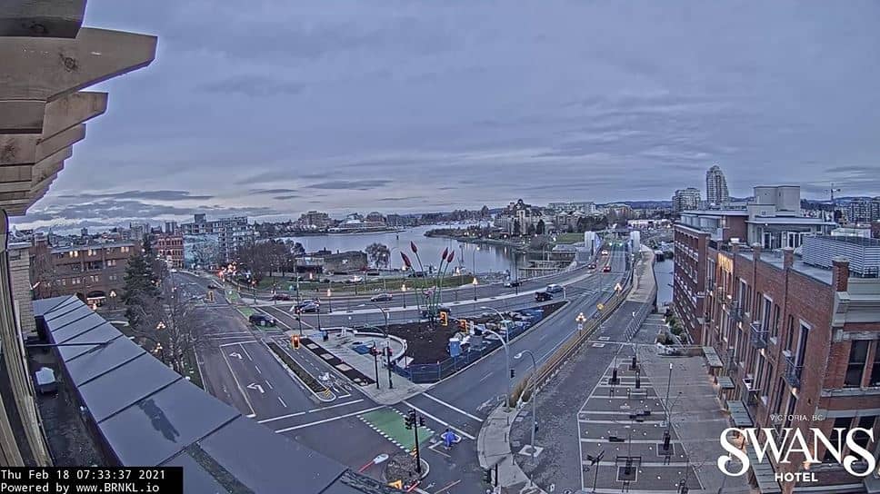
British Columbia, Canada — 29 km
British Columbia, Canada — 29 km
British Columbia, Canada — 36 km
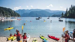
British Columbia, Canada — 37 km
Washington, United States — 45 km

British Columbia, Canada — 46 km
The current conditions and a three-day forecast are shown in the weather block on this page. They update with the page, so check there before planning a ferry trip or a day on the water.
The local time for Friday Harbor is displayed on this page, following Pacific Time in the Washington State zone. It is useful for timing ferry crossings and tours.
The camera looks over the port of Friday Harbor on the east side of San Juan Island in Washington State. The map on this page marks its location on the waterfront.
Mornings and the busy ferry periods are often the most active, while summer brings the most boat traffic. Weather affects the view, so clear days are usually the most rewarding.
Partner links: we may earn a commission at no extra cost to you.