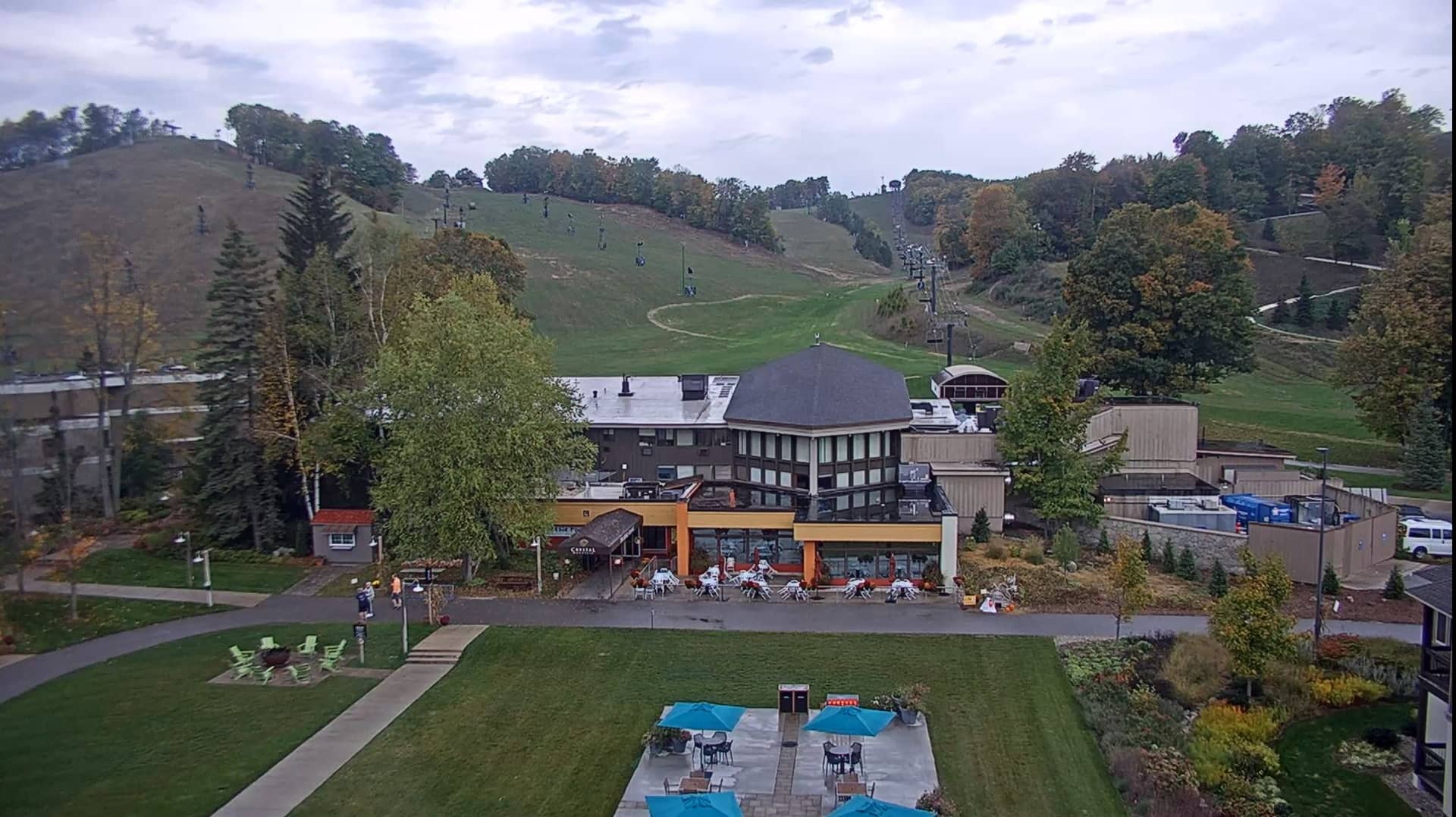
Crystal Mountain
Washington, United States — 1.4 km

Crystal Mountain - Sommet
🇺🇸 Washington · United States — Altitude 2087 m
This live feed looks out from the summit area of Crystal Mountain, one of the larger ski resorts in the Cascade Range of Washington State. It is a useful way to check snow and cloud conditions on the peak before deciding whether to make the drive up.
Crystal Mountain sits on the flanks of Mount Rainier's northeastern side, at roughly 2,087 metres above sea level. The resort is known for its steep terrain, deep winter snowpack and wide views across the Cascades on clear days. The surrounding forest is dense conifer, and the summit area is open and exposed to whatever weather moves in from the Pacific.
The summit camera is most informative in winter, when fresh snow, lift activity and visibility changes are easy to follow. In summer the view often shows hiking weather and the shape of the peaks. Mornings tend to be clearer, while afternoon clouds often build over the high ridges, so the feed can change quickly depending on the hour.
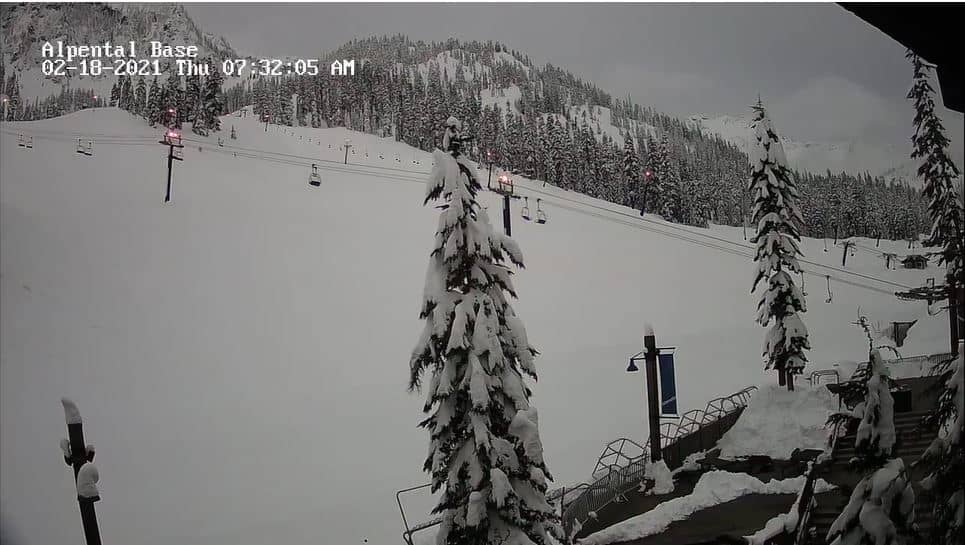
The climate is wet, with heavy snowfall from late autumn to spring and mild, drier summers. Mid-winter is the main season for skiing, while late summer suits hiking and sightseeing. The drive from Seattle takes a few hours, and chains or traction tyres may be required in winter. Nearby cameras on the Silver Fir and Alpental slopes are listed on this page for comparison.
Source: roundshot.com
Washington, United States — 1.4 km
Washington, United States — 52 km
Washington, United States — 53 km
Washington, United States — 57 km
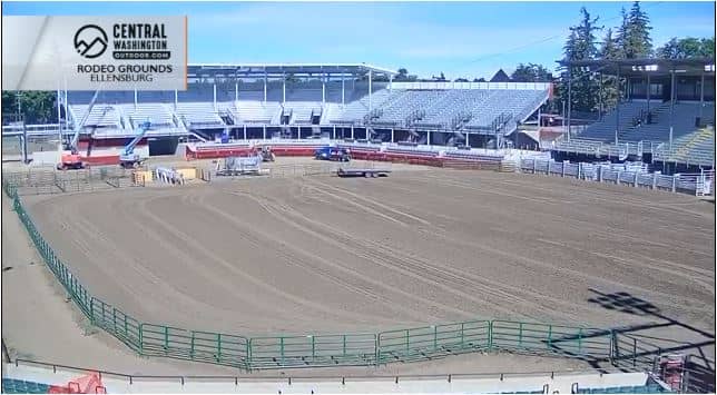
Washington, United States — 74 km
Washington, United States — 76 km
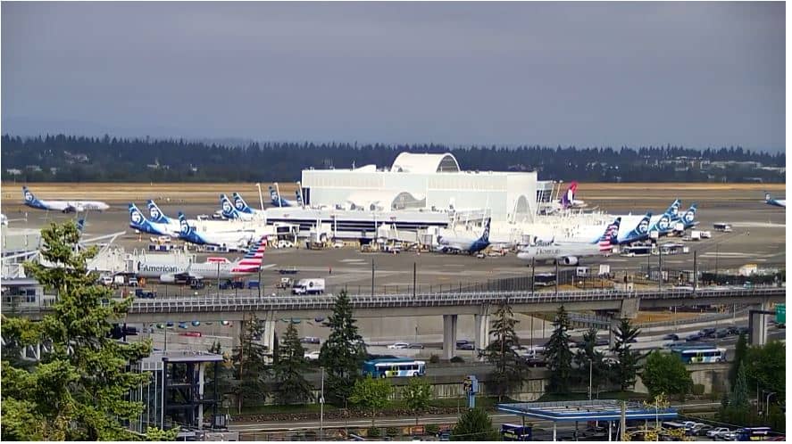
Washington, United States — 82 km
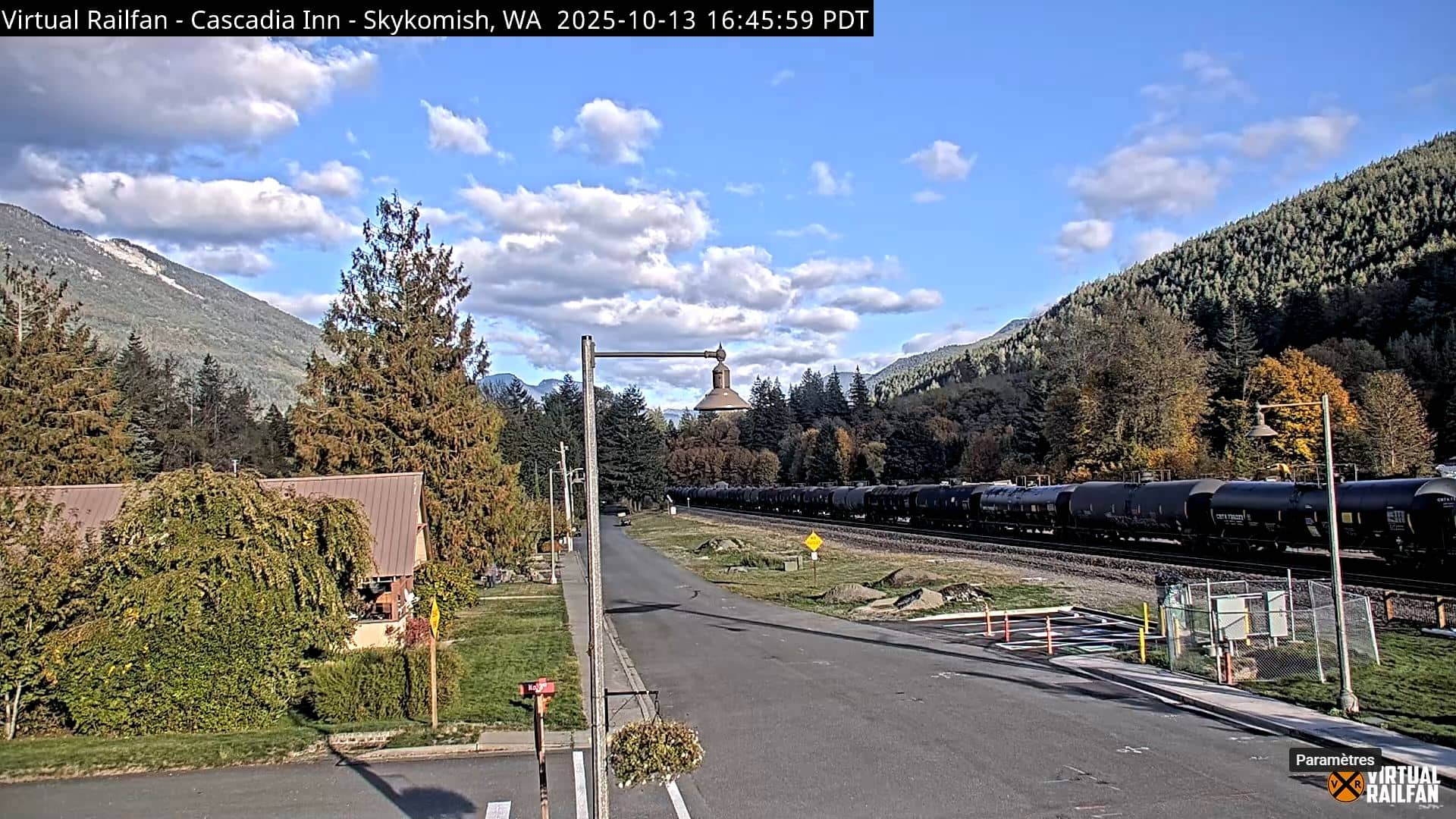
Washington, United States — 86 km
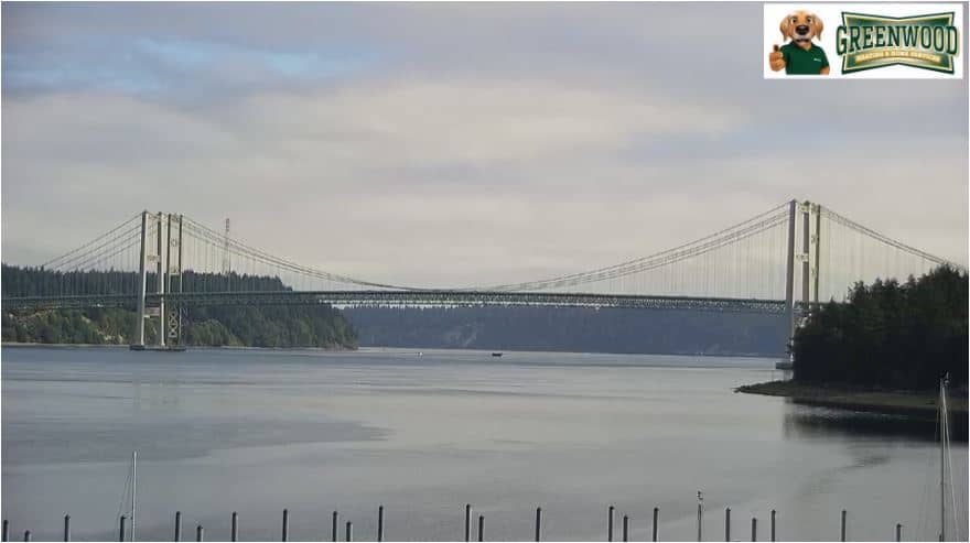
Washington, United States — 87 km
Washington, United States — 92 km
The current conditions and a three-day forecast for Crystal Mountain are shown in the live weather block on this page. Mountain weather can change quickly, so check it before you travel.
The local time is shown on this page and follows the Pacific time zone used across Washington State. The clock updates automatically so you can compare it with your own time.
The camera is at the summit area of Crystal Mountain near Mount Rainier in Washington State, at about 2,087 metres altitude. The map on this page marks its position.
Winter mornings are often the most useful, when snow and visibility are easiest to judge. Summer views are good for checking clear skies before a hike.
Partner links: we may earn a commission at no extra cost to you.