Federal Way - Poverty Bay - Puget Sound / Seattle Area Cam
Washington, United States — 14 km
🇺🇸 Washington · United States — Altitude 115 m
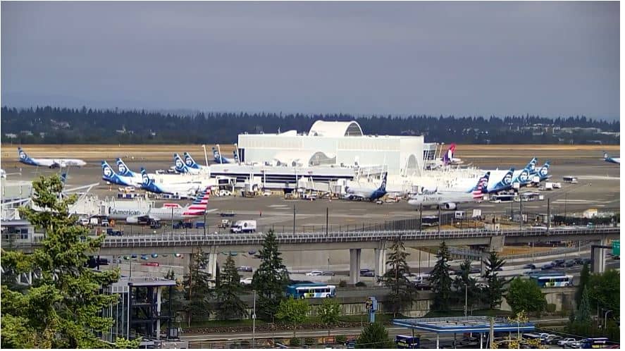
This live camera looks out over Seattle-Tacoma International Airport, one of the busiest gateways in the Pacific Northwest. Watch planes taxiing, taking off and landing against the Washington sky, which makes it useful for tracking arrivals or simply seeing how the weather is moving across the region.
Seattle-Tacoma International Airport serves the Seattle and Tacoma metropolitan area, located in King County in western Washington. The airport sits at roughly 115 metres above sea level, between the Cascade Mountains to the east and Puget Sound to the west. It is one of the main hubs for travel to Alaska, Asia and across North America, and it has long been a key link for the region's technology and aviation industries.
Because this is an airport view, the most interesting moments are usually during busy arrival and departure periods, which tend to cluster in the morning and late afternoon. Depending on the angle, you may see aircraft on the apron and runways, ground vehicles and the surrounding flat terrain. Cloud cover and rain are common in this part of the world, so the picture can change quickly from clear to grey within an hour.
The Seattle area has a mild, wet climate with cool, cloudy winters and dry, comfortable summers, which are generally the best time to visit. The airport is about 20 kilometres south of downtown Seattle and is connected by light rail and highways. Nearby cameras on this site include Federal Way over Poverty Bay on Puget Sound, and several Seattle city views such as Stadium Place, Capitol Hill and the Large camera.
Source: fox13seattle.com
Washington, United States — 14 km
Washington, United States — 18 km
Washington, United States — 20 km

Washington, United States — 21 km
Washington, United States — 21 km
Washington, United States — 21 km
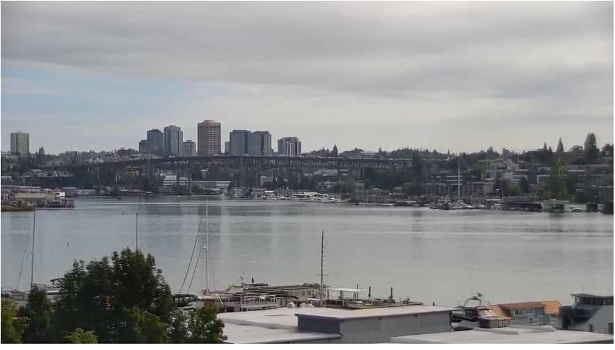
Washington, United States — 24 km
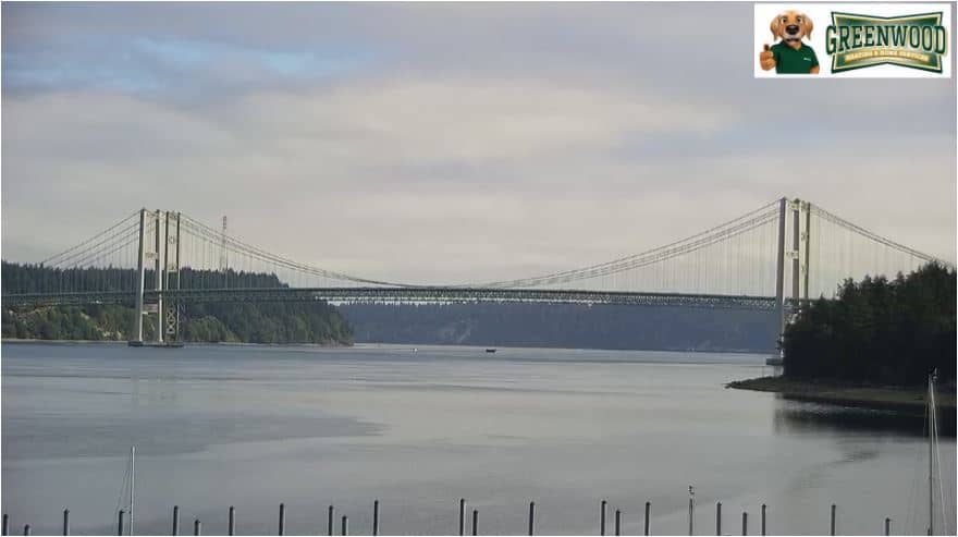
Washington, United States — 29 km
Washington, United States — 41 km
Washington, United States — 52 km
The current conditions and a 3-day forecast are shown in the weather block on this page. They update automatically, so you can check the latest temperature and sky conditions before you watch.
The local time for the airport is displayed live on this page, following the Pacific time zone used across western Washington. It updates along with the camera so you always see the current time.
The camera is at Seattle-Tacoma International Airport in King County, Washington, United States. The map on this page marks its position so you can see its location relative to Seattle and Tacoma.
Many people watch during the morning and late afternoon, when flight activity is usually busiest. Clear summer days give the sharpest views, though the picture depends on the weather at the time.
Compare prices for stays near the camera.
Tours, tickets and excursions nearby.
Partner links: we may earn a commission at no extra cost to you.