
Seattle - Space Needle
Washington, United States — 0.7 km

Seattle - Large
🇺🇸 Washington · United States — Altitude 42 m
This live stream shows a wide view over Seattle in Washington State. It suits anyone wanting to check how the city looks right now before heading out, or to follow the mood of the Pacific Northwest from afar.
Seattle sits between Puget Sound and Lake Washington, with Lake Union in the middle of the city and the Cascade and Olympic mountains visible on clear days. It is known for its maritime history, its coffee culture and its rainy but mild climate. The city is built on hills, so the skyline and water views change noticeably from one neighbourhood to the next.
The camera is categorised as a general city view, so the exact scene depends on the angle at the moment you open the page. Mornings and late afternoons often bring the most readable light, and cloud cover can reveal the mountains or hide them entirely. Watching during a clear spell is the best way to judge how the weather is developing across the city.
Seattle has dry summers with temperatures usually in the twenties Celsius, and wet, mild winters. July and August are the most popular months to visit. Nearby VizCams cameras include Stadium Place, Capitol Hill and Lake Union, which give more street-level and waterfront perspectives around the city.
Source: click2stream.com
Washington, United States — 0.7 km
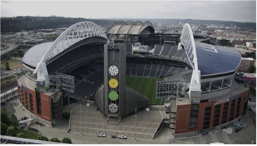
Washington, United States — 2.2 km
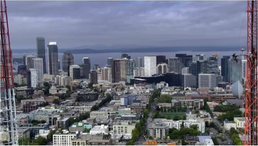
Washington, United States — 2.2 km
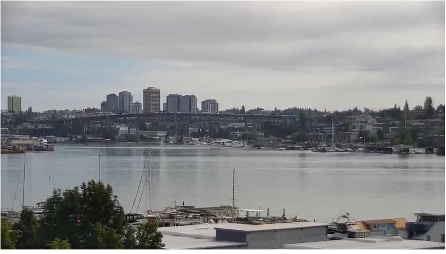
Washington, United States — 3.7 km
Washington, United States — 12 km
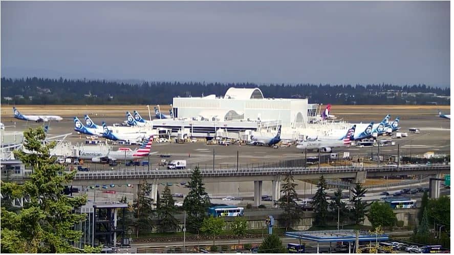
Washington, United States — 20 km
Washington, United States — 33 km
Washington, United States — 43 km
Washington, United States — 44 km
Washington, United States — 45 km
The current conditions and a three-day forecast for Seattle are shown in the live weather block on this page, updated automatically.
The local time in Seattle is displayed in the live time block on this page, following the Pacific time zone of the city.
The map on this page marks the camera position in Seattle, Washington, United States, at an elevation of about 42 metres above sea level.
Clear days and early or late daylight usually give the most visible scene, since cloud and rain can limit the view of the surrounding hills and water.
Partner links: we may earn a commission at no extra cost to you.