Federal Way - Poverty Bay - Puget Sound / Seattle Area Cam
Washington, United States — 18 km
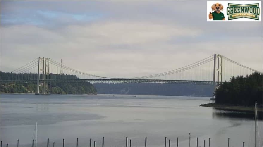
Tacoma - Narrows Bridge
🇺🇸 Washington · United States — Altitude 6 m
This live camera points at the Tacoma Narrows Bridge, the span that carries traffic across the strait between Tacoma and the Kitsap Peninsula. Watch it to see how the crossing looks right now and to judge conditions over the water before you travel.
The Narrows is a narrow channel of Puget Sound in western Washington, separating the city of Tacoma from the Kitsap Peninsula. The current bridge opened in 2007, built beside the original structure that collapsed in 1940 and gave the crossing its reputation. The surrounding landscape mixes dense evergreen forest, steep shorelines and busy shipping water, typical of the Pacific Northwest.
The camera's title names the bridge, so the view is centred on the crossing and the water beneath it. Depending on the angle, you may see vehicles on the deck, ferry and container traffic moving through the channel, and the changing colour of the water. Clear mornings and late afternoons often give the sharpest light, while low cloud and rain are common in the cooler months.
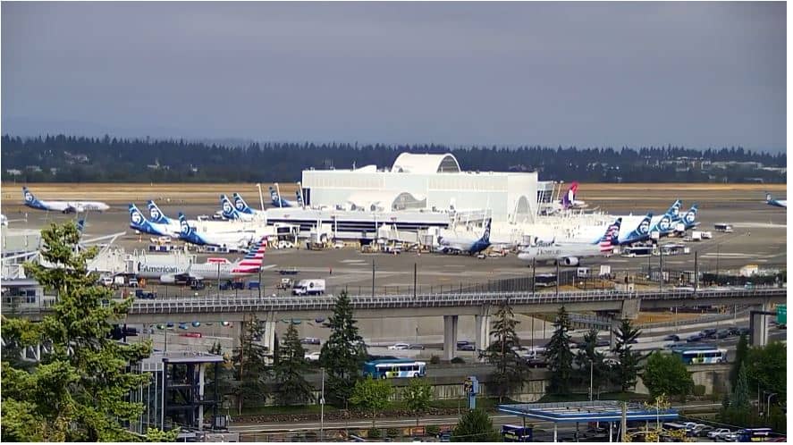
Tacoma has a mild, wet climate with mostly cool winters and dry, pleasant summers, so late spring through early autumn is the most comfortable time to visit. Seattle-Tacoma International Airport is about 29 km away. Other cameras on VizCams cover Federal Way on Puget Sound, about 18 km away, and Olympia and Lacey, about 34 km away, for comparison of conditions across the region.
Source: fox13seattle.com
Washington, United States — 18 km
Washington, United States — 25 km
Washington, United States — 29 km
Washington, United States — 34 km
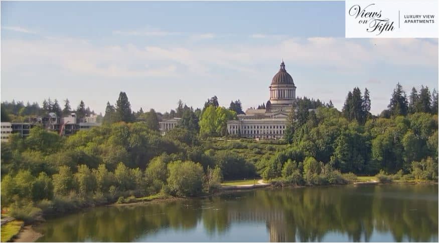
Washington, United States — 35 km
Washington, United States — 42 km
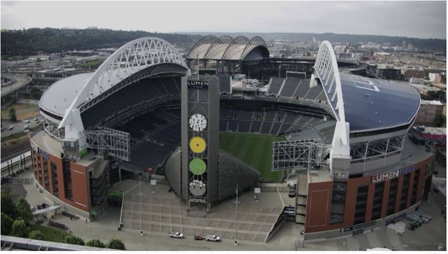
Washington, United States — 43 km
Washington, United States — 44 km
Washington, United States — 44 km

Washington, United States — 44 km
The current conditions and a 3-day forecast for Tacoma are shown in the live weather block on this page. They update with the page, so check there rather than relying on a past visit.
The local time for Tacoma, in the Pacific time zone, is displayed in the live clock block on this page, so you can plan a viewing without converting time zones yourself.
The camera is located at the Tacoma Narrows Bridge over the strait connecting Tacoma with the Kitsap Peninsula. The map on this page marks its position and the surrounding area.
Daylight hours give the clearest view of the crossing and the water. Early mornings and late afternoons are often the most pleasant, though weather matters more than the hour in this rainy region.
Partner links: we may earn a commission at no extra cost to you.