
Wild ARC Flight Pen B - British Columbia Society for the Prevention of Cruelty to Animals
British Columbia, Canada — 87 km
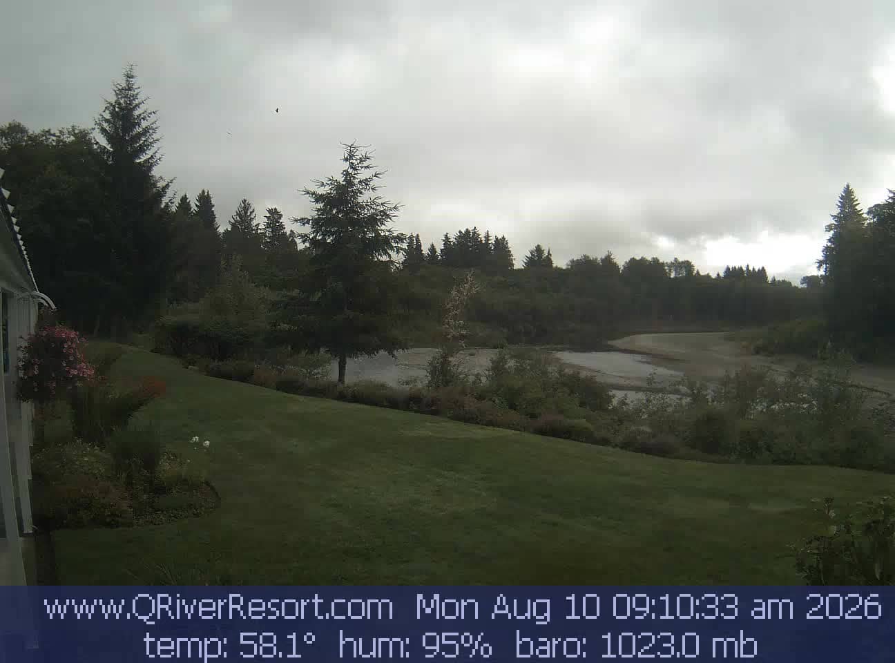
Forks - Quillayute River
🇺🇸 Washington · United States — Altitude 20 m
This live camera looks over the Quillayute River in Forks, a small town on the rainy Olympic Peninsula of Washington. It is a useful window onto river conditions and the moody Pacific Northwest weather that shapes everything here. Check it before a walk or drive to see how the water and sky look right now.
Forks sits in the western part of Clallam County, close to the Quillayute River system and not far from the Pacific coast. The town is known as the gateway to the Olympic National Park rainforests and to the coastal beaches around La Push. The river runs through a landscape of dense conifer forest, damp moss and wide gravel banks, which gives the area a quiet, green character that many visitors find striking. The river is an important part of local life, used for fishing and as a backdrop for the community's outdoor activities.
The camera is listed under nature, so the view is most likely centred on the river and its surroundings rather than on buildings. Water level, colour and surface movement are the things to watch, and they change quickly after rain. Early morning and late afternoon often bring softer light and mist over the water. Because the area is famously wet, cloud and drizzle may limit what you see on some days, so check the weather block on this page as well.
Forks has a mild, very wet maritime climate. Winters are cool and rainy, while summers are generally cooler and drier than inland Washington, which makes late summer the most popular time to visit. Pack waterproof layers at any time of year. The town is a practical base for exploring the Olympic Peninsula, and the nearby cameras listed on this page cover other places in the wider region for comparison.
Source: click2stream.com
British Columbia, Canada — 87 km

British Columbia, Canada — 87 km
British Columbia, Canada — 98 km
British Columbia, Canada — 104 km
British Columbia, Canada — 107 km
Washington, United States — 108 km
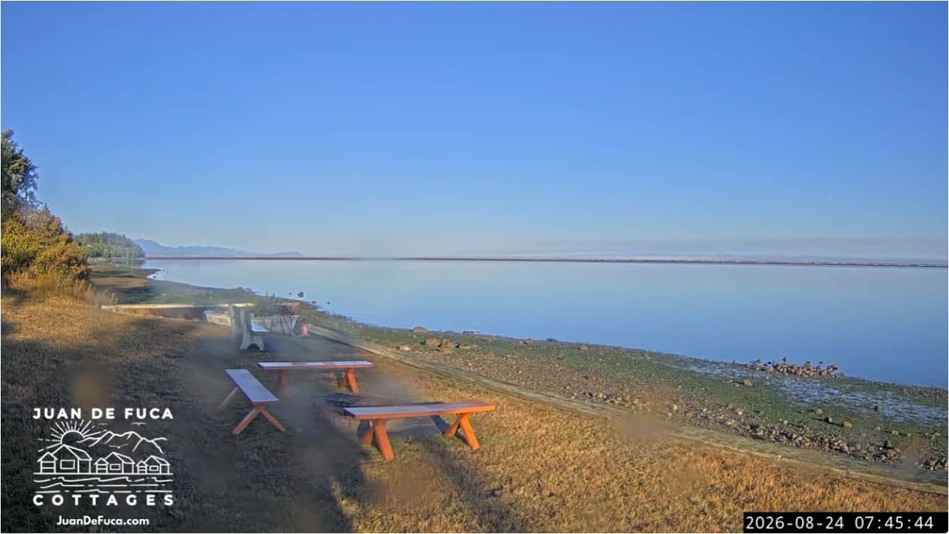
Washington, United States — 109 km
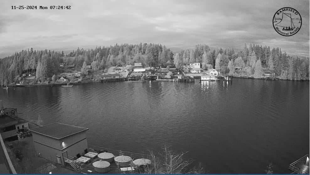
British Columbia, Canada — 111 km
British Columbia, Canada — 116 km
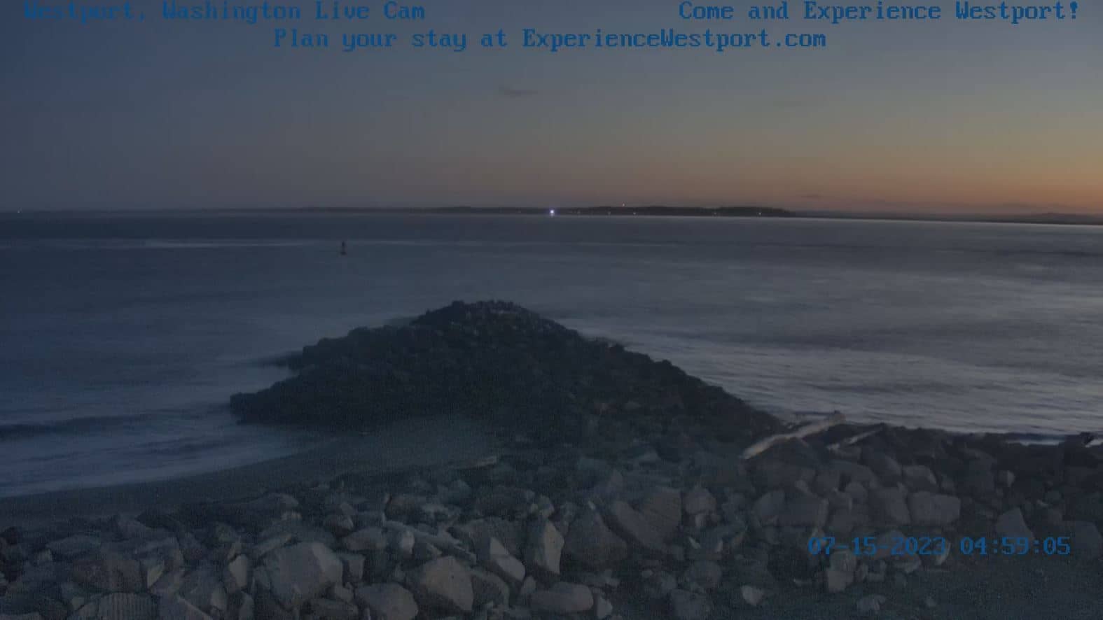
Washington, United States — 116 km
The current conditions and a three-day forecast for Forks are shown in the weather block on this page. Forks is known for frequent rain, so it is worth checking before you travel.
The local time for Forks is displayed live on this page, following the Pacific time zone used in Washington.
The camera is set over the Quillayute River in Forks, Washington, and the map on this page shows its position relative to the town and the surrounding Olympic Peninsula.
Early morning and late afternoon often bring calm water and soft light, while rain can raise the river level quickly. Check the weather block to see which conditions are likely.
Partner links: we may earn a commission at no extra cost to you.