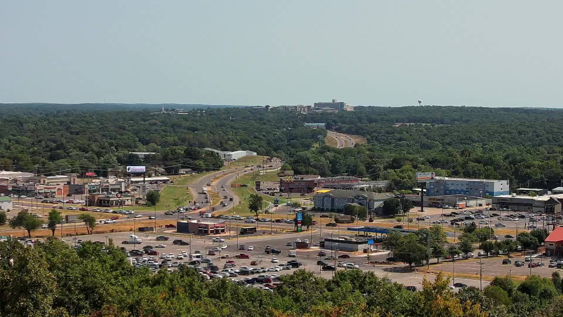
Tahlequah - Oklahoma
Oklahoma, United States — 4.3 km
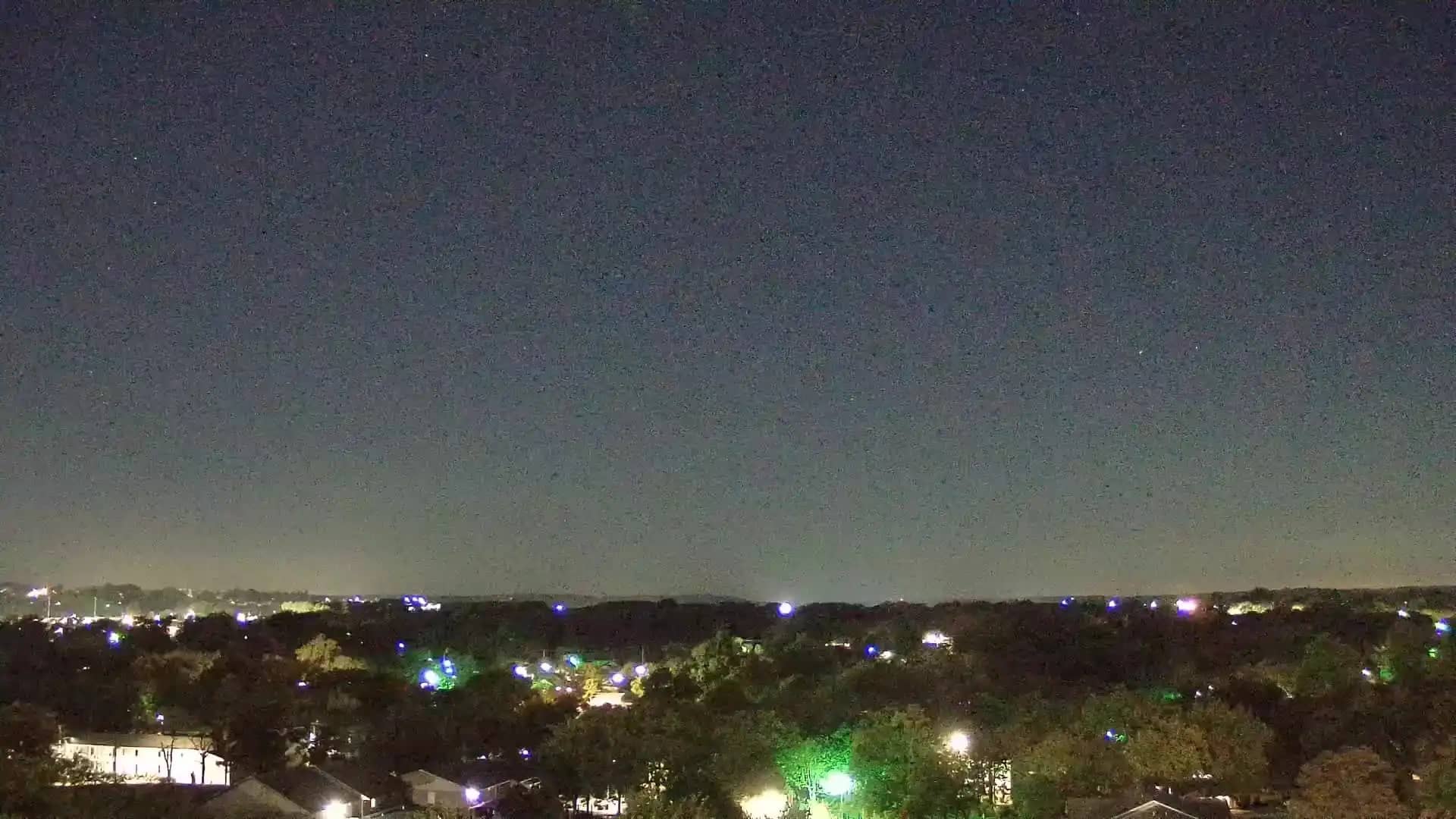
🇺🇸 Oklahoma · United States — Altitude 250 m
This live camera looks out over Tahlequah, a small city in the Ozark foothills of northeastern Oklahoma. It is useful if you want a current view of the town before visiting, or simply want to see how the weather is developing in the area right now.
Tahlequah is the county seat of Cherokee County and the capital of the Cherokee Nation, one of the largest tribal nations in the United States. The town sits at roughly 250 metres above sea level on rolling, wooded hills where the Ozarks meet the prairie. Its history, museums and tribal institutions give it a character quite different from larger Oklahoma cities, and the surrounding lakes and forests draw people who enjoy the outdoors.
The camera is listed under other views, so the frame may show streets, buildings or open landscape rather than a single landmark. Views like this are most rewarding in spring, when the trees leaf out, and in autumn, when the hills turn colour. Watch for changing cloud over the hills, which often signals a storm building, and note that the image quality depends on the source stream, which is available in HD.
Tahlequah has a humid subtropical climate with hot summers, mild winters and spring storms, so late spring and early autumn are generally the most comfortable times to visit. Getting around is easiest by car. The nearby cameras in Siloam Springs, Pryor and Decatur give you a sense of the wider region, and Oklahoma has more than thirty other live views to explore.
Source: hazcams.com
Oklahoma, United States — 4.3 km
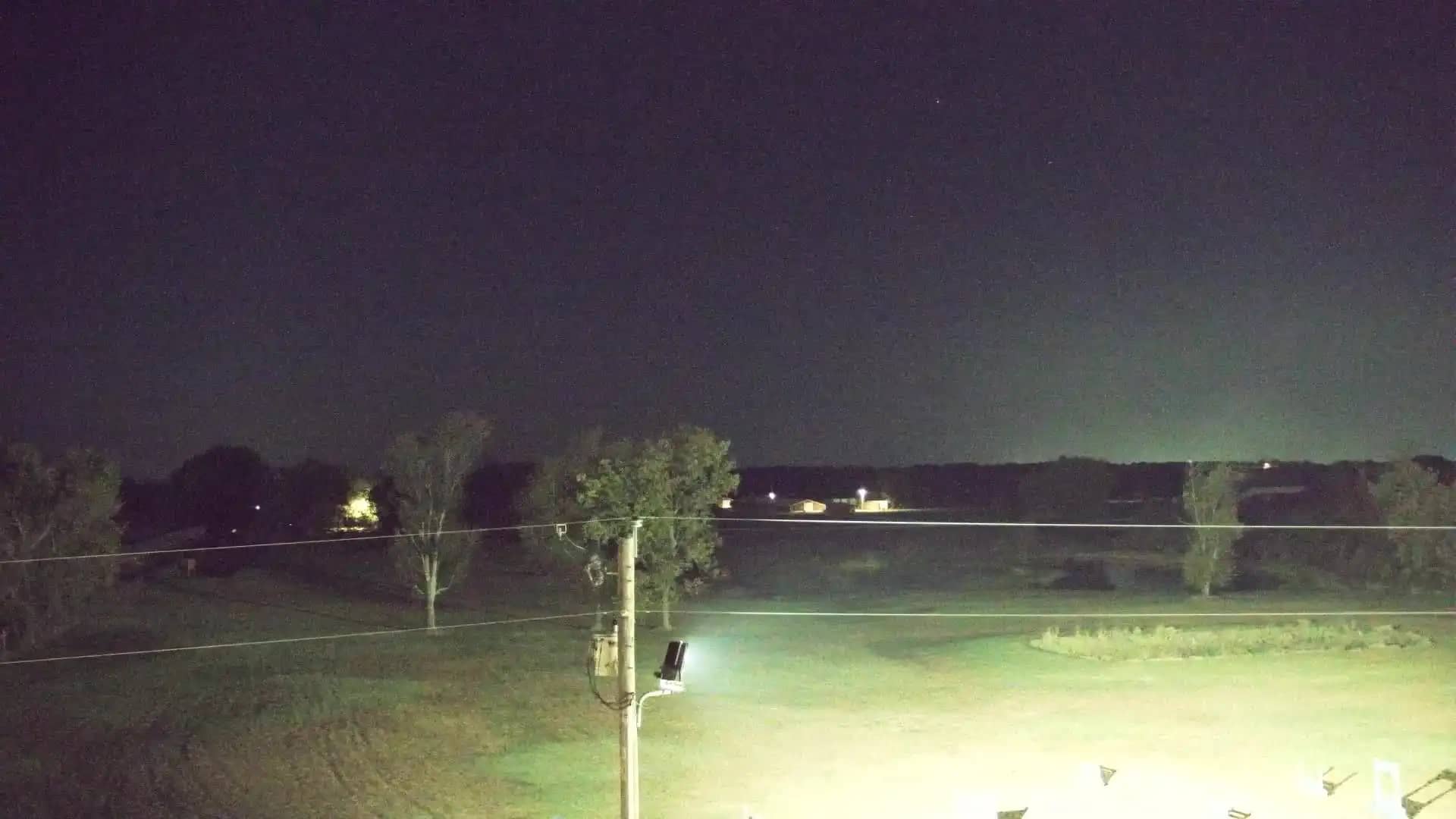
Arkansas, United States — 53 km
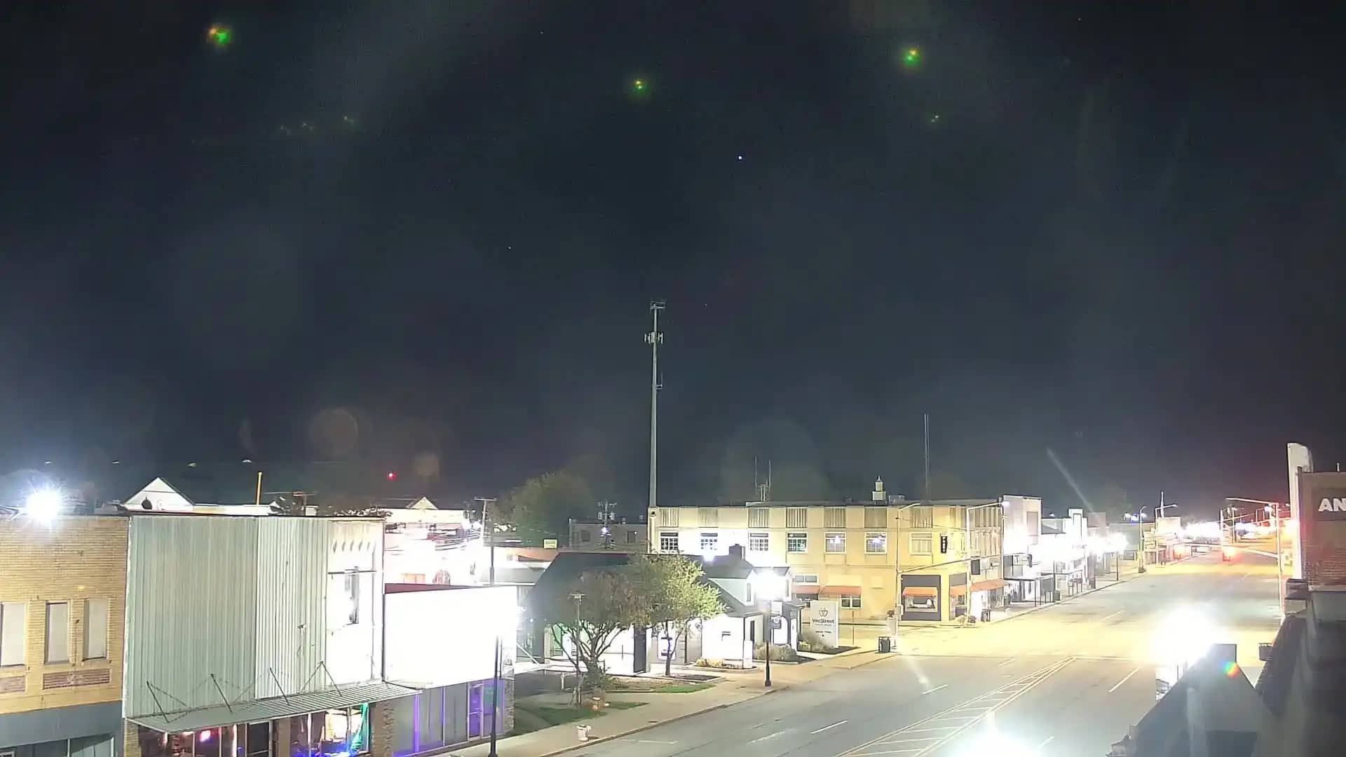
Oklahoma, United States — 53 km
Arkansas, United States — 64 km
Oklahoma, United States — 71 km
Oklahoma, United States — 73 km
Arkansas, United States — 73 km
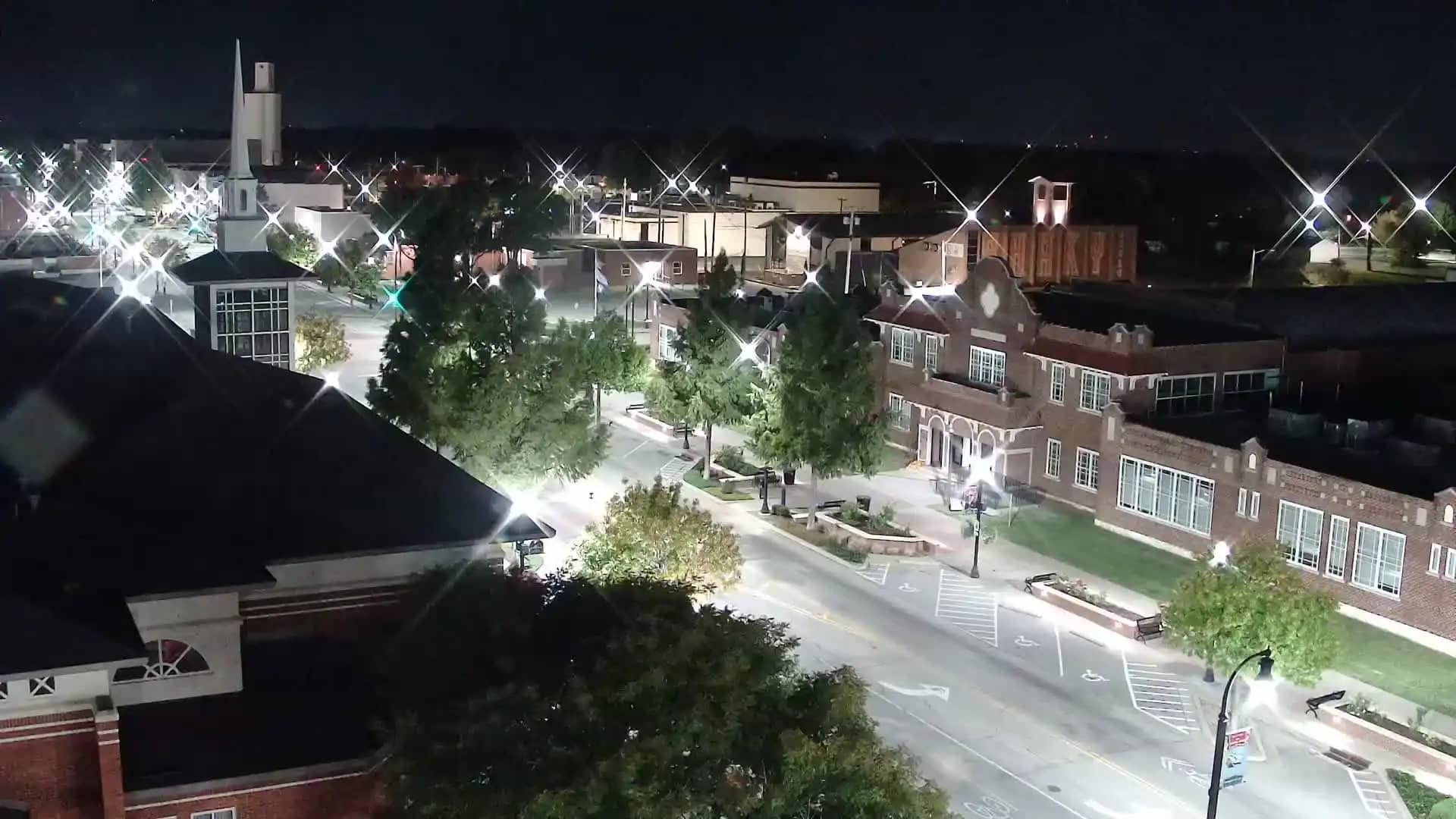
Oklahoma, United States — 76 km
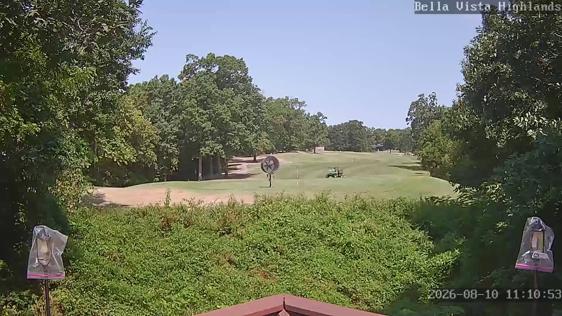
Arkansas, United States — 83 km
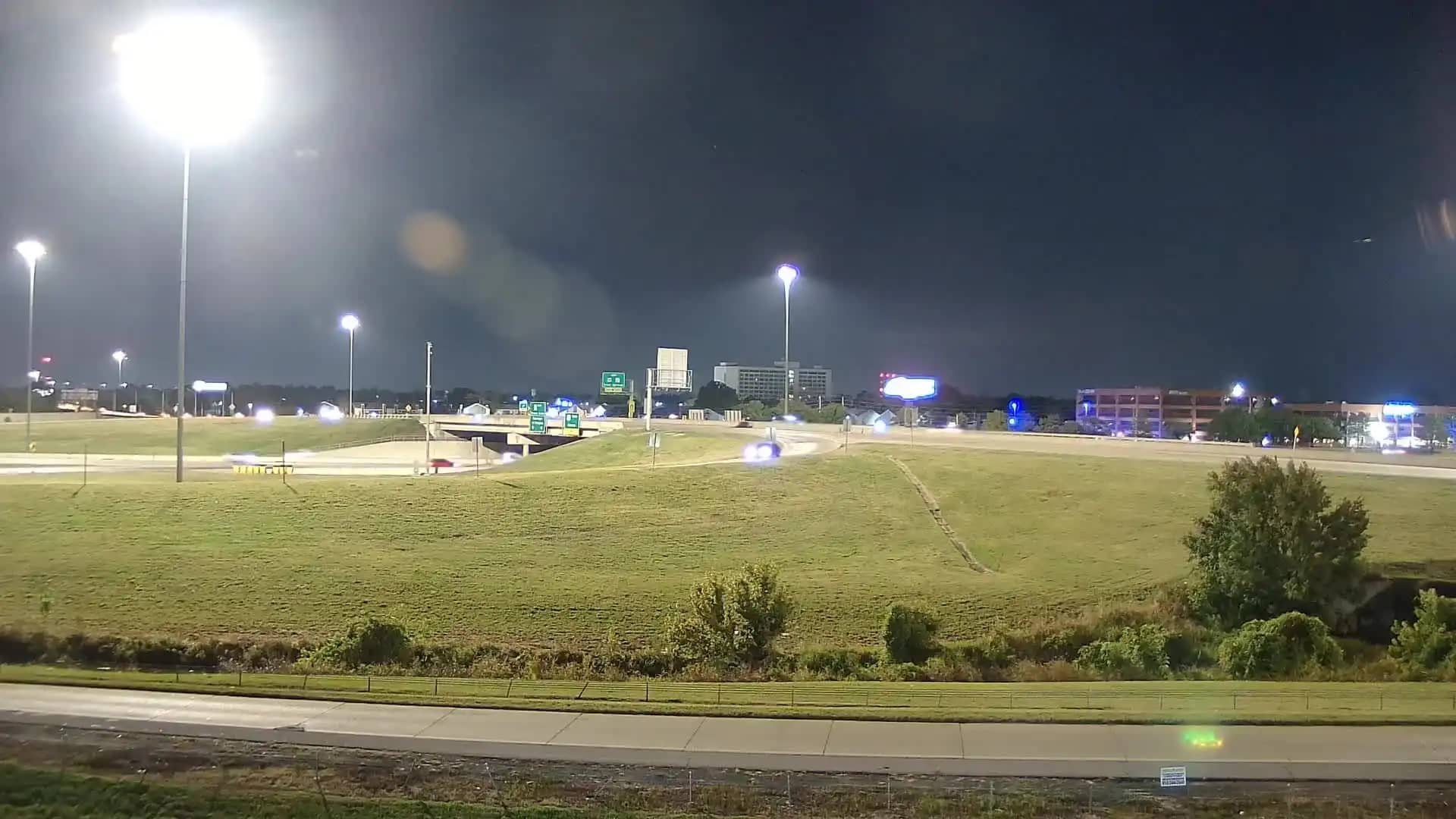
Oklahoma, United States — 83 km
The current conditions and a three-day forecast for Tahlequah are shown in the live weather block on this page. They update automatically, so you can check before you travel.
The local time for Tahlequah, which follows the Central time zone, is displayed on this page and updates live alongside the camera.
The camera is located in Tahlequah, Oklahoma, at about 35.92 north and 94.96 west, and the map on this page marks its position in the town.
Daytime hours give the clearest view, and spring and autumn tend to show the most colour in the surrounding hills. Storm season in late spring is also worth watching for dramatic skies.
Partner links: we may earn a commission at no extra cost to you.