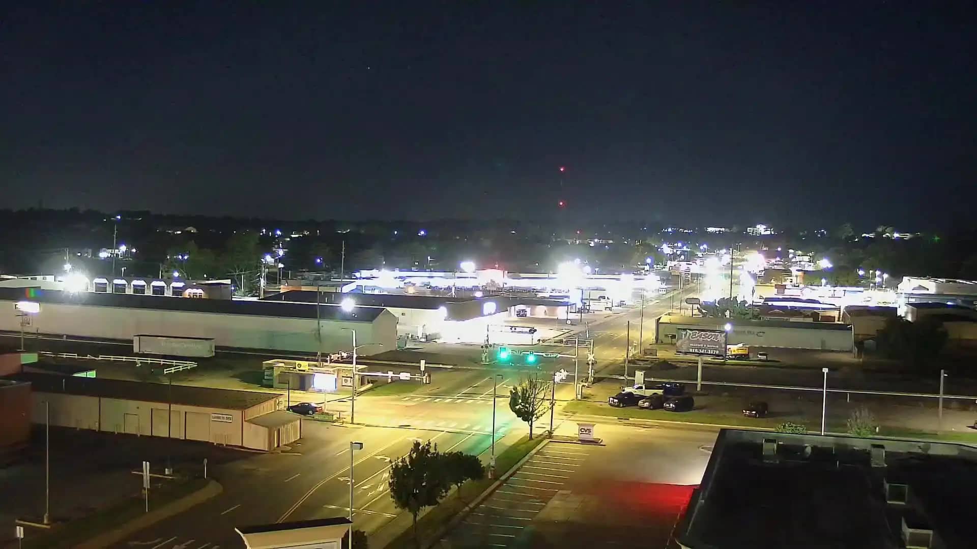
Claremore
Oklahoma, United States — 27 km
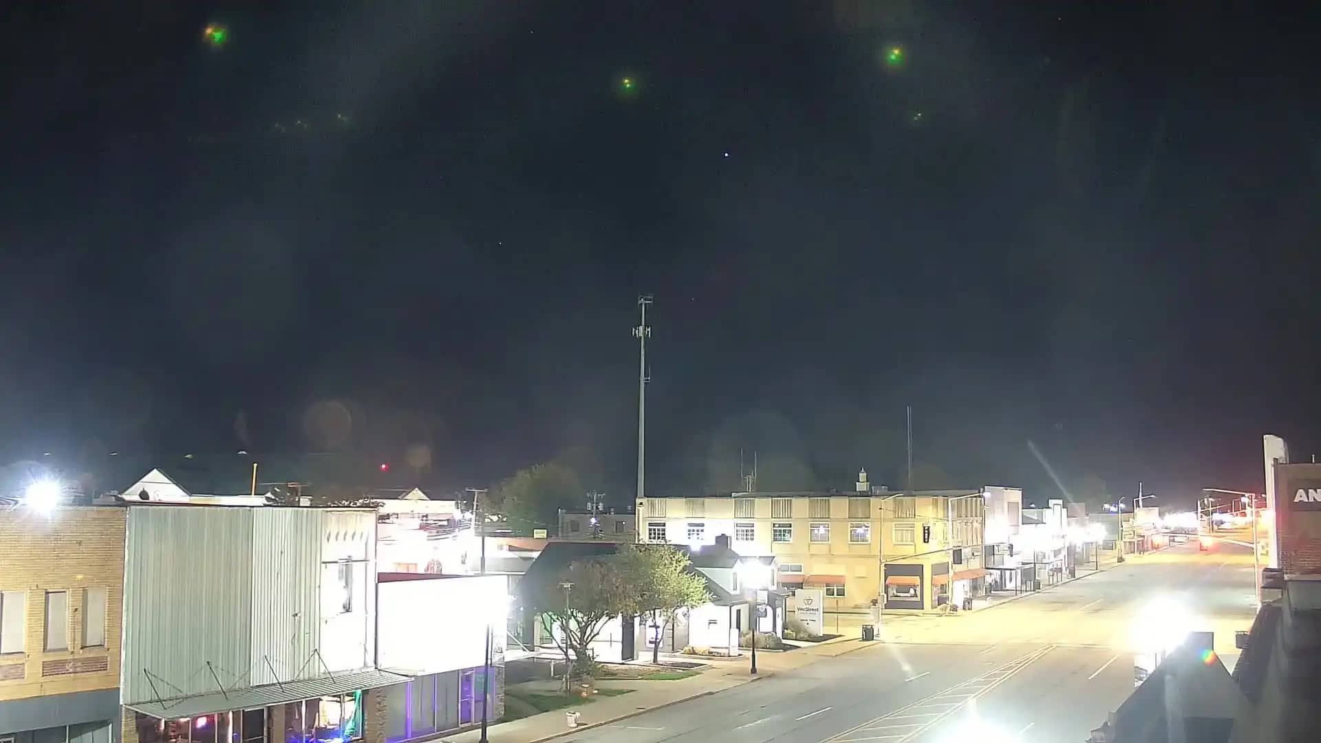
Pryor
🇺🇸 Oklahoma · United States — Altitude 192 m
This live camera looks out over Pryor, a small city in northeastern Oklahoma. The stream is provided by its owner and embedded here so you can check conditions in town before you travel or plan your day. Local time and a three-day forecast sit beside the player.
Pryor sits in the Green Country region of northeastern Oklahoma, roughly an hour northeast of Tulsa. The area is known for rolling terrain, lakes and farmland, and it lies close to the Grand Lake of the Cherokees, which draws boaters and anglers. The town has a relaxed, small-city character with a historic downtown and a strong connection to its surrounding countryside.
Because the page shows a general location camera, the exact view depends on the owner's mounting, so check the player to see what is in frame. Daylight hours give the clearest picture, while spring storms and summer cloud build-ups often make the sky the most dramatic part of the scene. Watching at sunrise or late afternoon usually gives the best light.
Oklahoma has hot, humid summers and mild springs and autumns, and spring brings the most thunderstorms, so conditions can change quickly. Pryor is an easy drive from Tulsa and close to the other cameras in this area, including Claremore, Owasso and Broken Arrow, which lets you compare weather and skies across the region.
Source: hazcams.com
Oklahoma, United States — 27 km
Oklahoma, United States — 44 km
Oklahoma, United States — 50 km
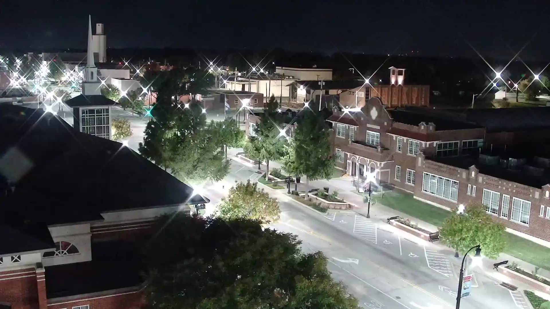
Oklahoma, United States — 51 km
Oklahoma, United States — 53 km
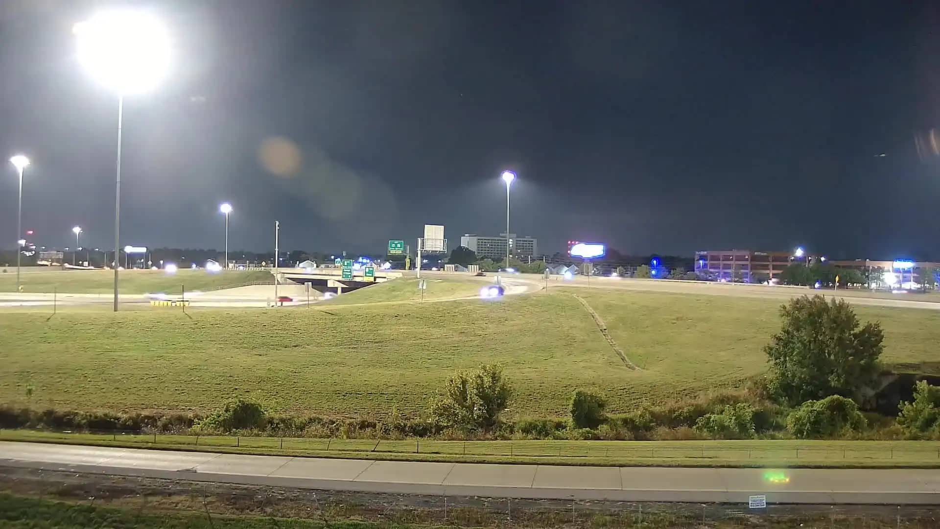
Oklahoma, United States — 54 km
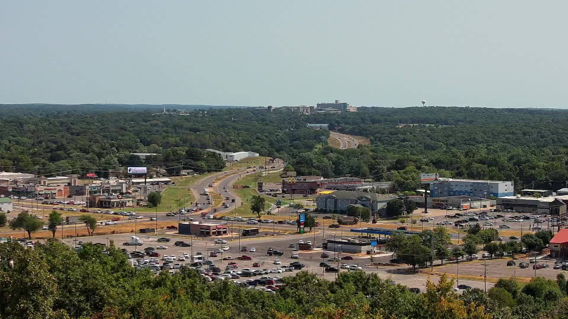
Oklahoma, United States — 56 km
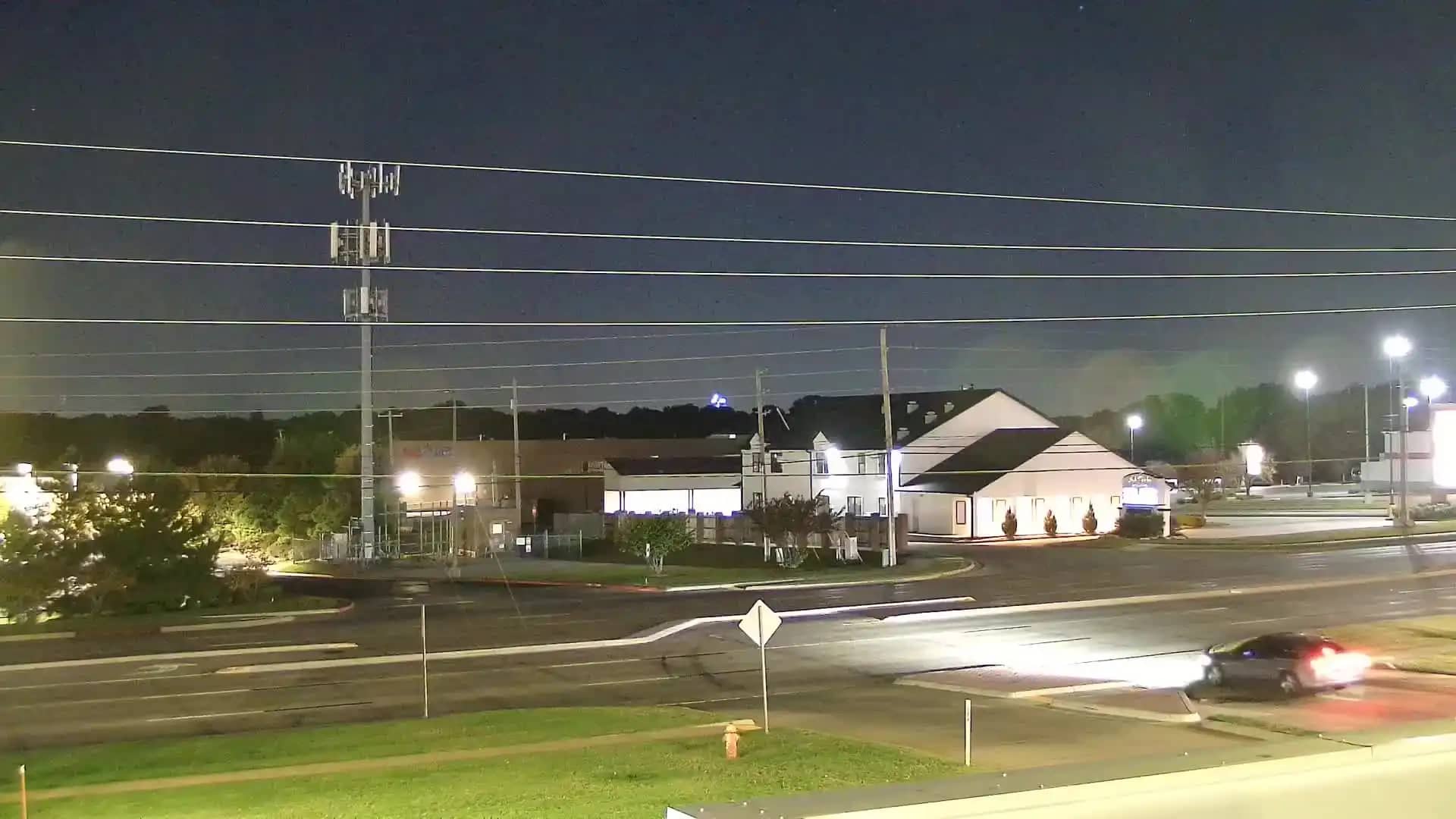
Oklahoma, United States — 60 km

Oklahoma, United States — 62 km
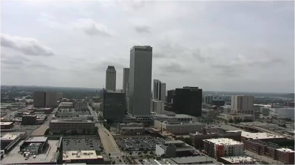
Oklahoma, United States — 63 km
The current conditions and a three-day forecast for Pryor are shown in the weather block on this page. They update automatically, so you can check them before going out.
The local time for Pryor is displayed next to the live player. It follows the Central time zone used across this part of Oklahoma.
The camera is placed in Pryor, Oklahoma, at about 36.31 north and 95.32 west, roughly 192 metres above sea level. The map on this page marks its location.
Daytime gives the clearest view, and early morning or late afternoon usually has the best light. Spring and summer afternoons are often the most active for storm clouds.
Partner links: we may earn a commission at no extra cost to you.