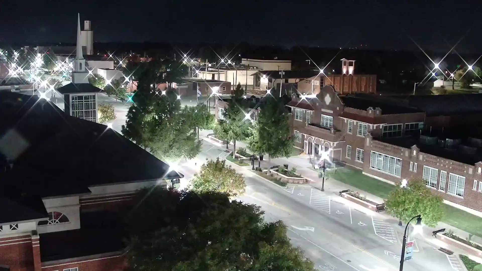
Broken Arrow
Oklahoma, United States — 7.9 km
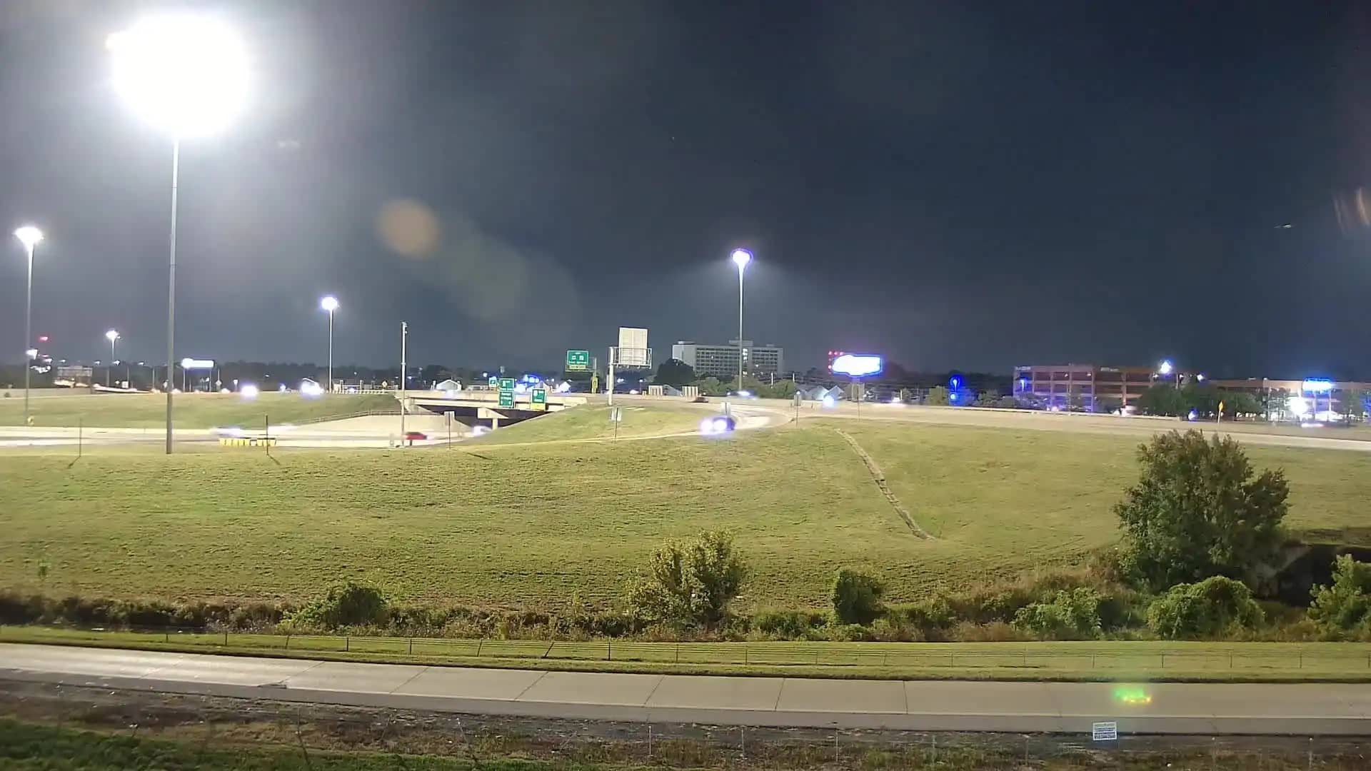
Tulsa - OK 46th & 169
🇺🇸 Oklahoma · United States — Altitude 201 m
This live camera overlooks the 46th Street and U.S. Highway 169 area in north-east Tulsa, one of the busiest road corridors in the city. It is useful for a quick look at traffic flow and road conditions before you head out. The page also shows local time and the current weather.
Tulsa is the second-largest city in Oklahoma, lying on the Arkansas River in the state's north-east. Highway 169 runs north-south through the eastern part of the metropolitan area and carries commuters, shoppers and freight between suburbs and downtown. The surrounding landscape is gently rolling prairie, with shopping centres, business parks and residential neighbourhoods lining the route.
The camera is a live embedded player, so the picture reflects the current road and sky. Weekday mornings and late afternoons tend to be the busiest periods, when vehicle queues are most visible. Weather is a major factor in what you see: clear, dry days give the clearest view, while rain, fog or low cloud can reduce detail. The image is provided by its owner and may vary in clarity.
Tulsa has a humid subtropical climate, with hot, humid summers and mild winters, and spring is often stormy. Spring and autumn are generally the most comfortable times to visit. The city is car-oriented, so driving is the practical way to get around. Nearby cameras in Broken Arrow, central Tulsa and South Tulsa are listed on this page for comparison.
Source: hazcams.com
Oklahoma, United States — 7.9 km
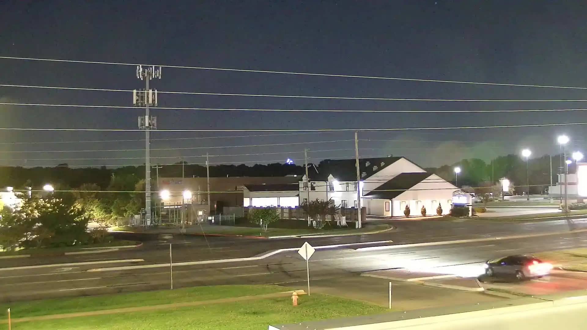
Oklahoma, United States — 9.3 km
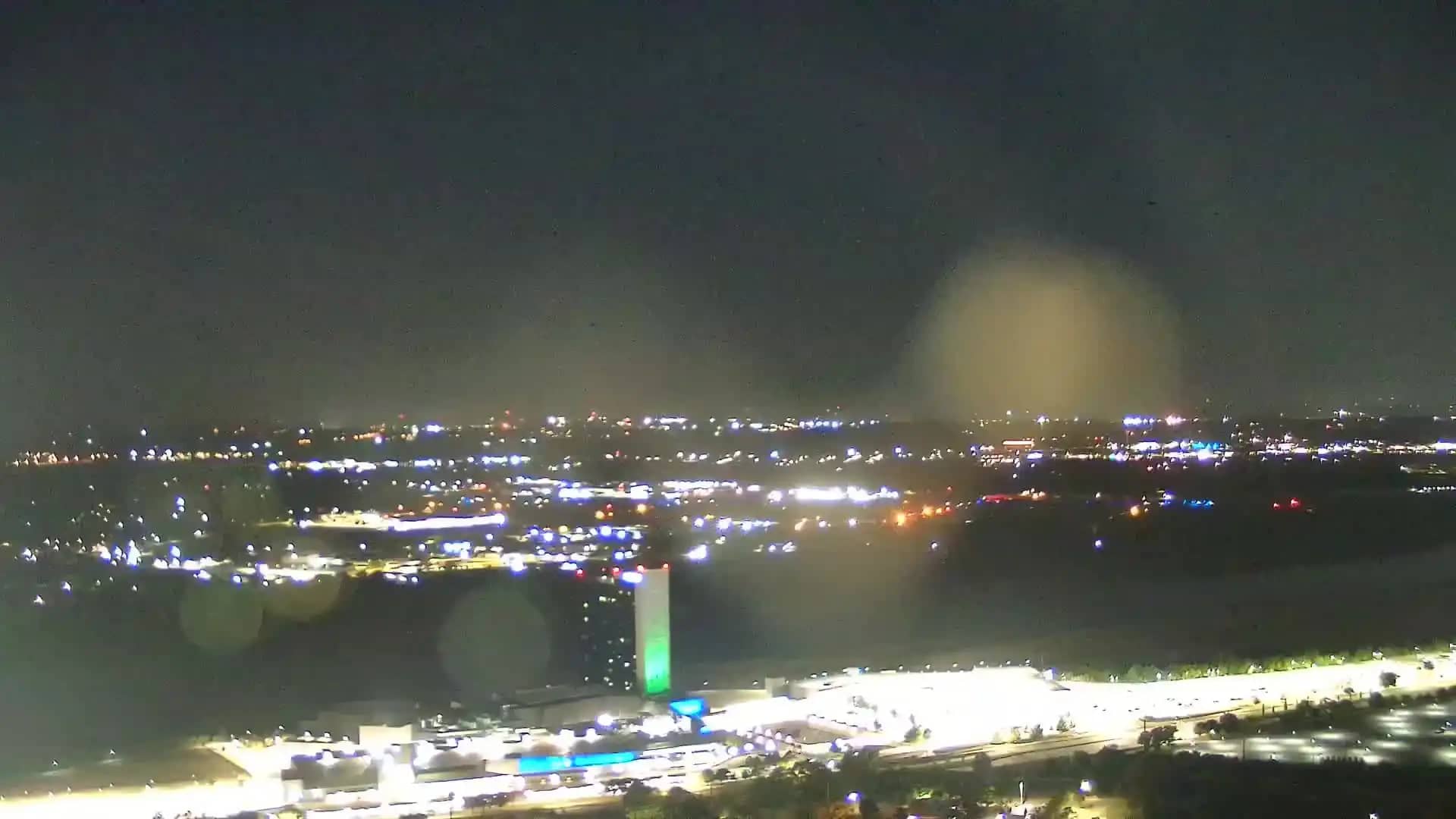
Oklahoma, United States — 10 km
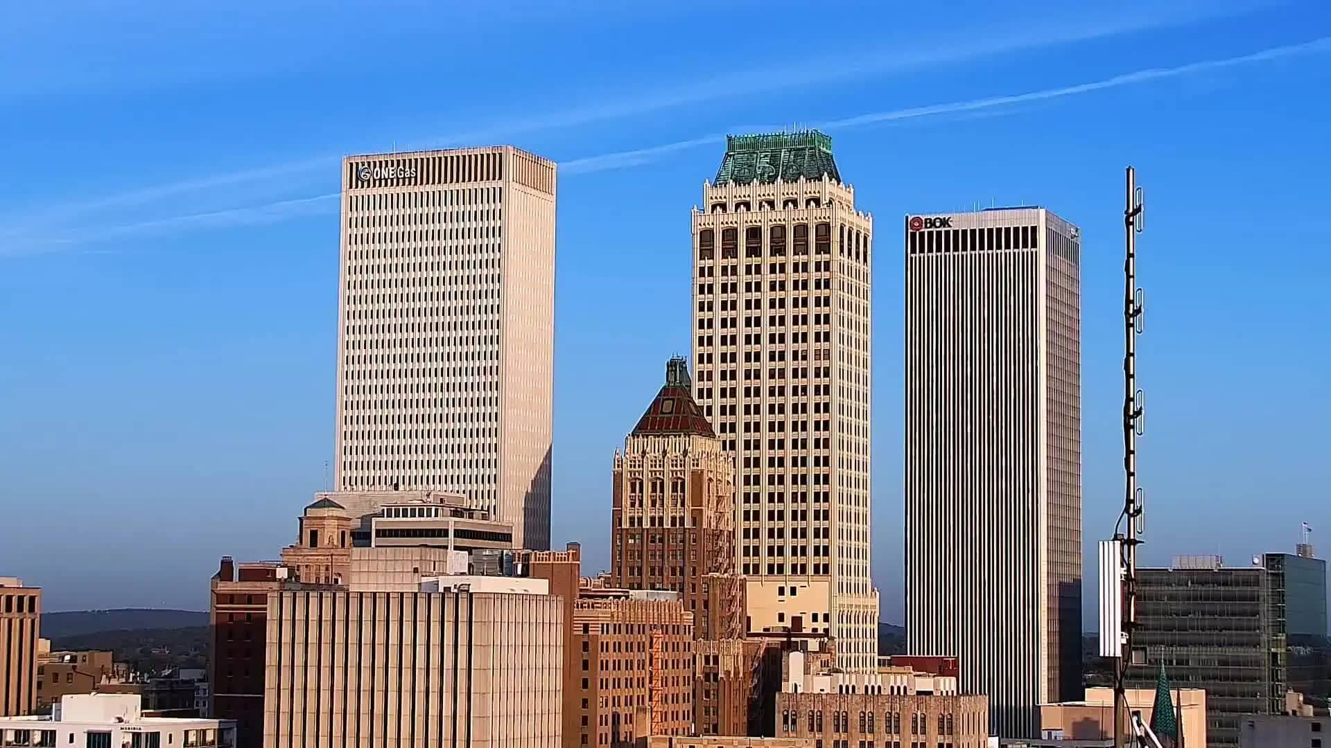
Oklahoma, United States — 12 km
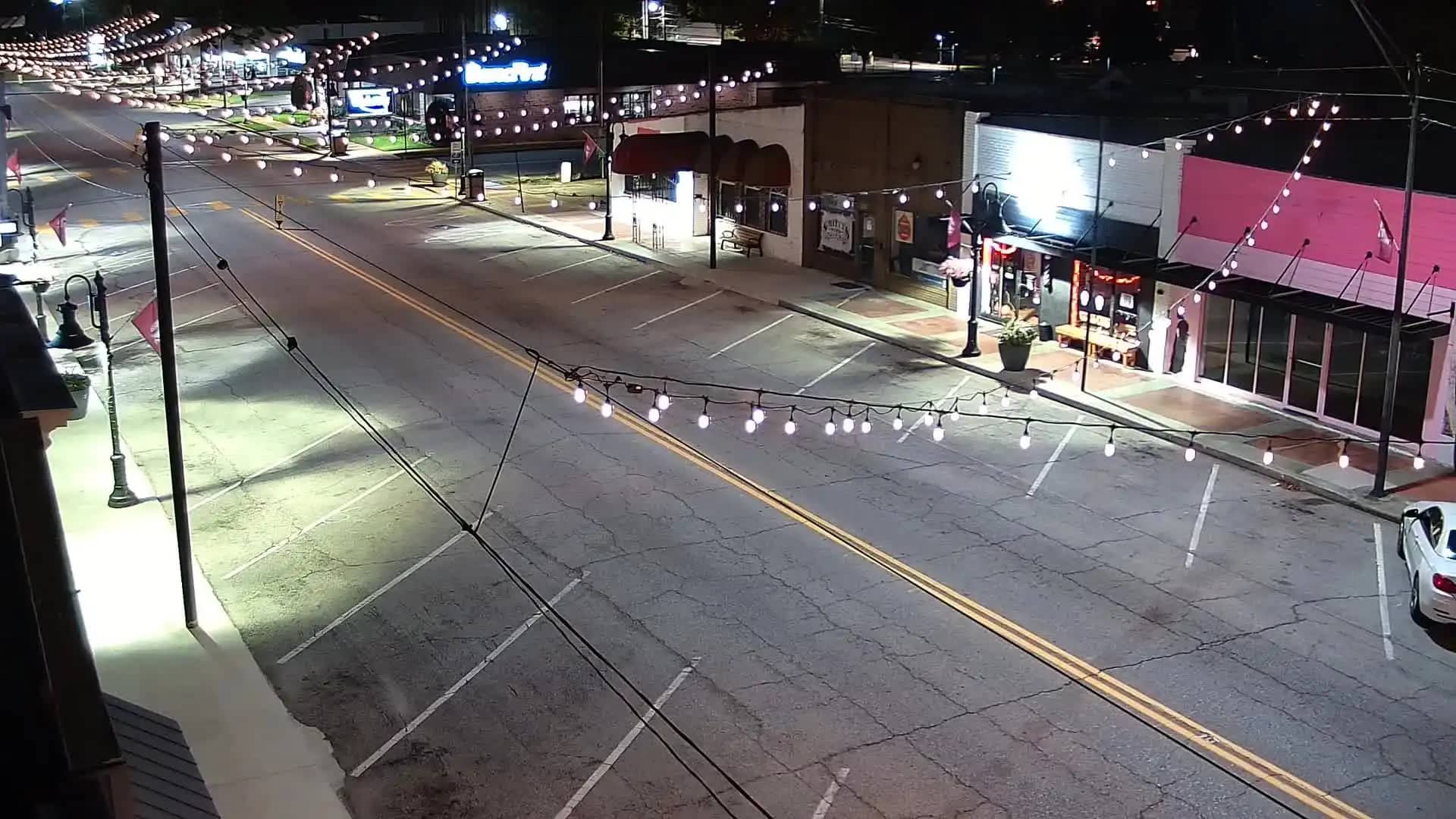
Oklahoma, United States — 13 km
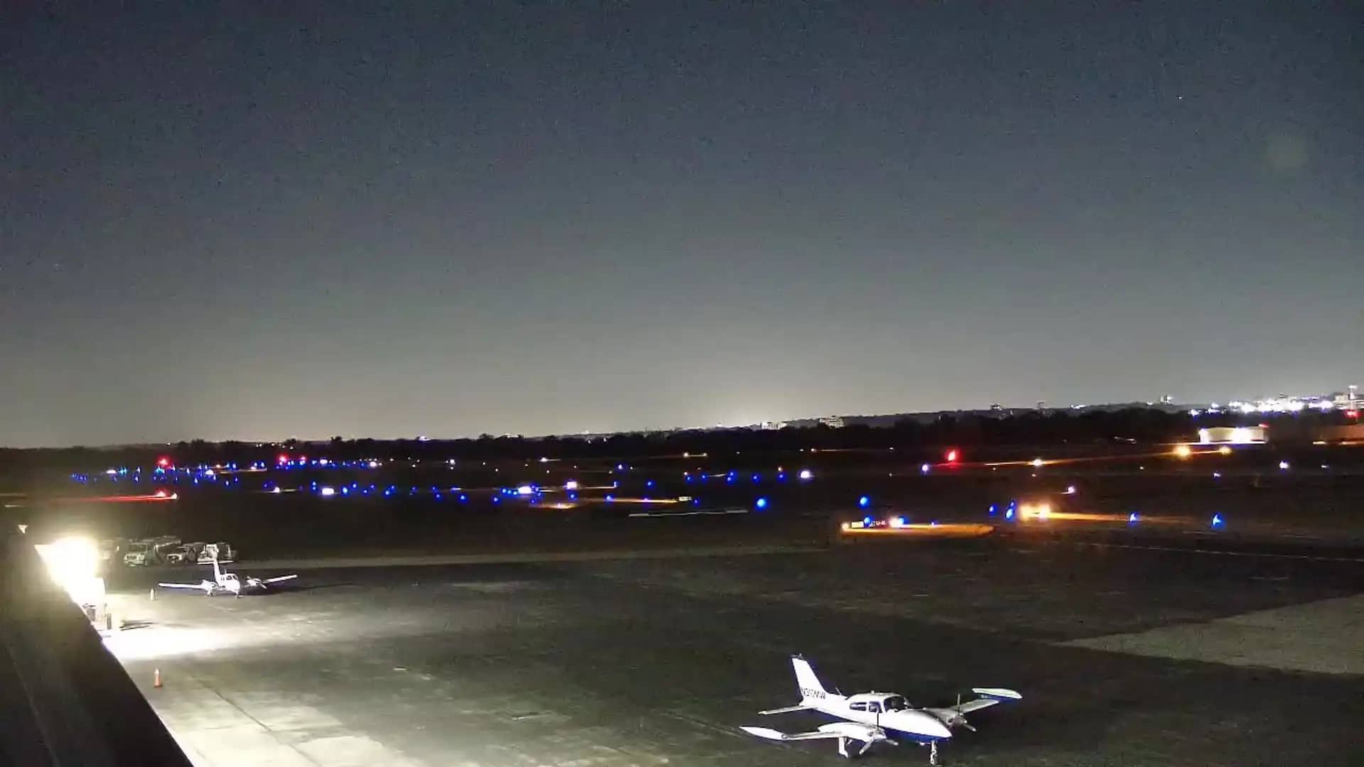
Oklahoma, United States — 13 km
Oklahoma, United States — 13 km
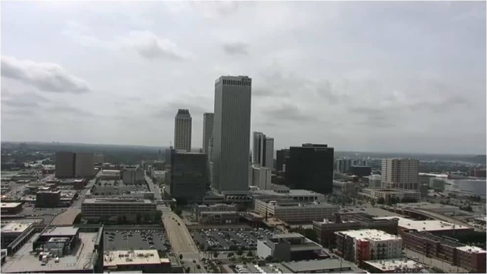
Oklahoma, United States — 14 km
Oklahoma, United States — 25 km
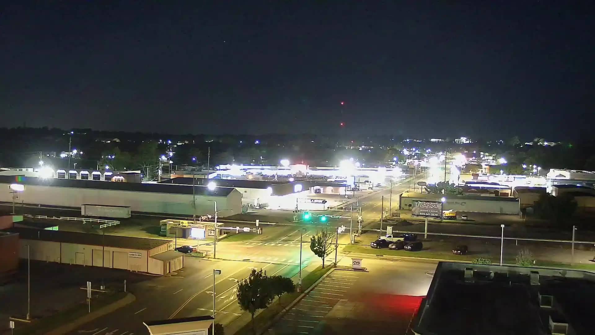
Oklahoma, United States — 33 km
The current weather and a three-day forecast for this location are shown in the live block on this page. The values update automatically, so you can check conditions before travelling.
The local time for this camera is displayed on the page and follows the Central time zone used in Tulsa, including daylight saving changes.
The camera is at the 46th Street and U.S. Highway 169 junction in north-east Tulsa, Oklahoma. The map on this page marks its position.
Weekday rush hours show the most traffic activity, while clear daytime hours give the sharpest view. Weather conditions, such as rain or fog, can affect how much is visible.
Partner links: we may earn a commission at no extra cost to you.