Owasso
Oklahoma, United States — 17 km
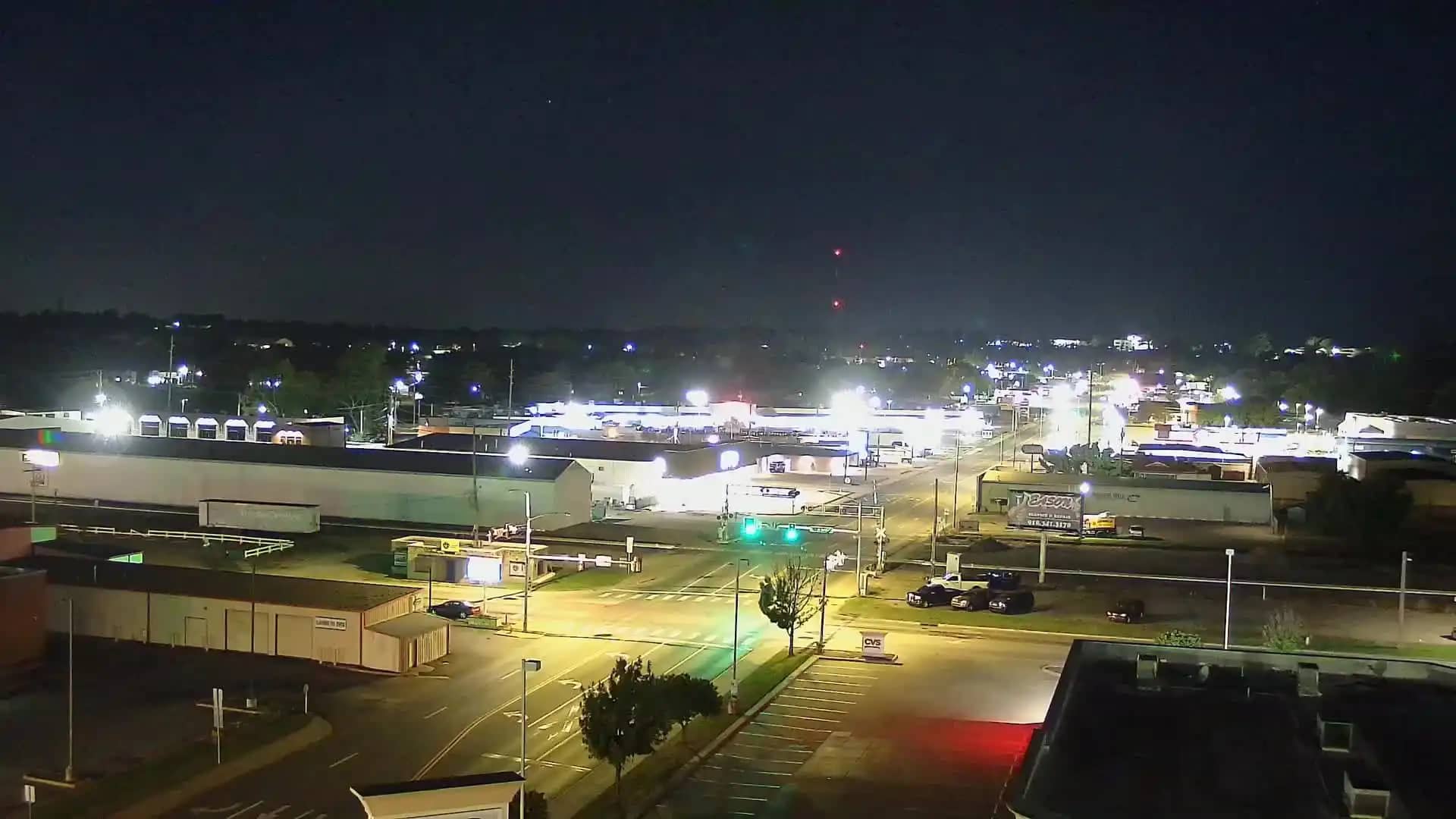
Claremore
🇺🇸 Oklahoma · United States — Altitude 182 m
This live feed shows the town of Claremore in northeastern Oklahoma, streamed from an embedded player. It is useful if you want to see current conditions here before heading out, or simply to keep an eye on the local sky and streets from a distance.
Claremore is a small city in Rogers County, about 30 kilometres northeast of Tulsa, and it sits on the edge of the Ozark foothills. It is best known as the hometown of Will Rogers, the humorist and actor, whose memorial and museum draw visitors each year. The surrounding land is rolling prairie and wooded creek valleys, typical of the transition zone between plains and hills in eastern Oklahoma.
The camera is listed under the general category rather than a specific landmark, so the view depends on where it is aimed. Expect the changing light of the day, weather moving across open country, and seasonal shifts in vegetation. Spring storms and clear late-afternoon light are often the most interesting moments to check, though you may see anything from clouds to quiet streets depending on the view.
Claremore has a humid subtropical climate with hot summers, mild winters and frequent spring thunderstorms, so the best months for outdoor visits are usually April to May and September to October. Tulsa is a short drive away and offers the nearest airport. Other cameras nearby include Owasso, Pryor, Broken Arrow and a Tulsa location, which help you compare conditions across the area.
Source: hazcams.com
Oklahoma, United States — 17 km
Oklahoma, United States — 27 km
Oklahoma, United States — 33 km
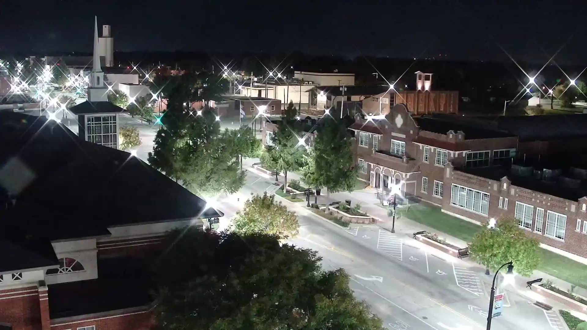
Oklahoma, United States — 33 km
Oklahoma, United States — 35 km
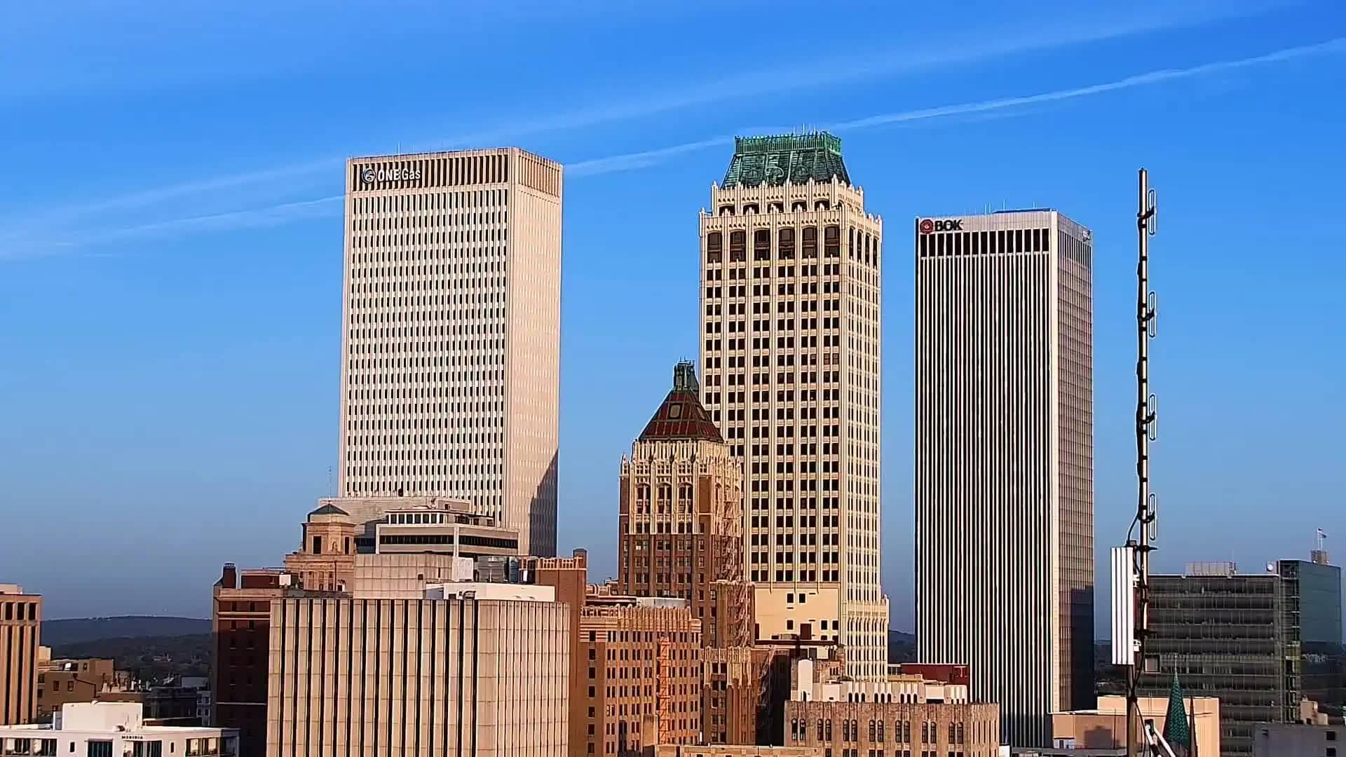
Oklahoma, United States — 38 km
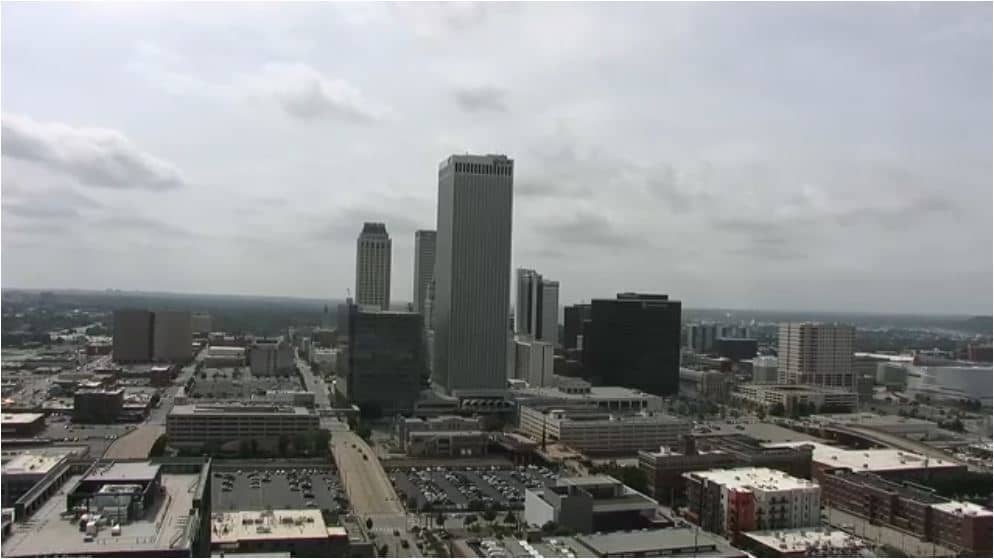
Oklahoma, United States — 38 km
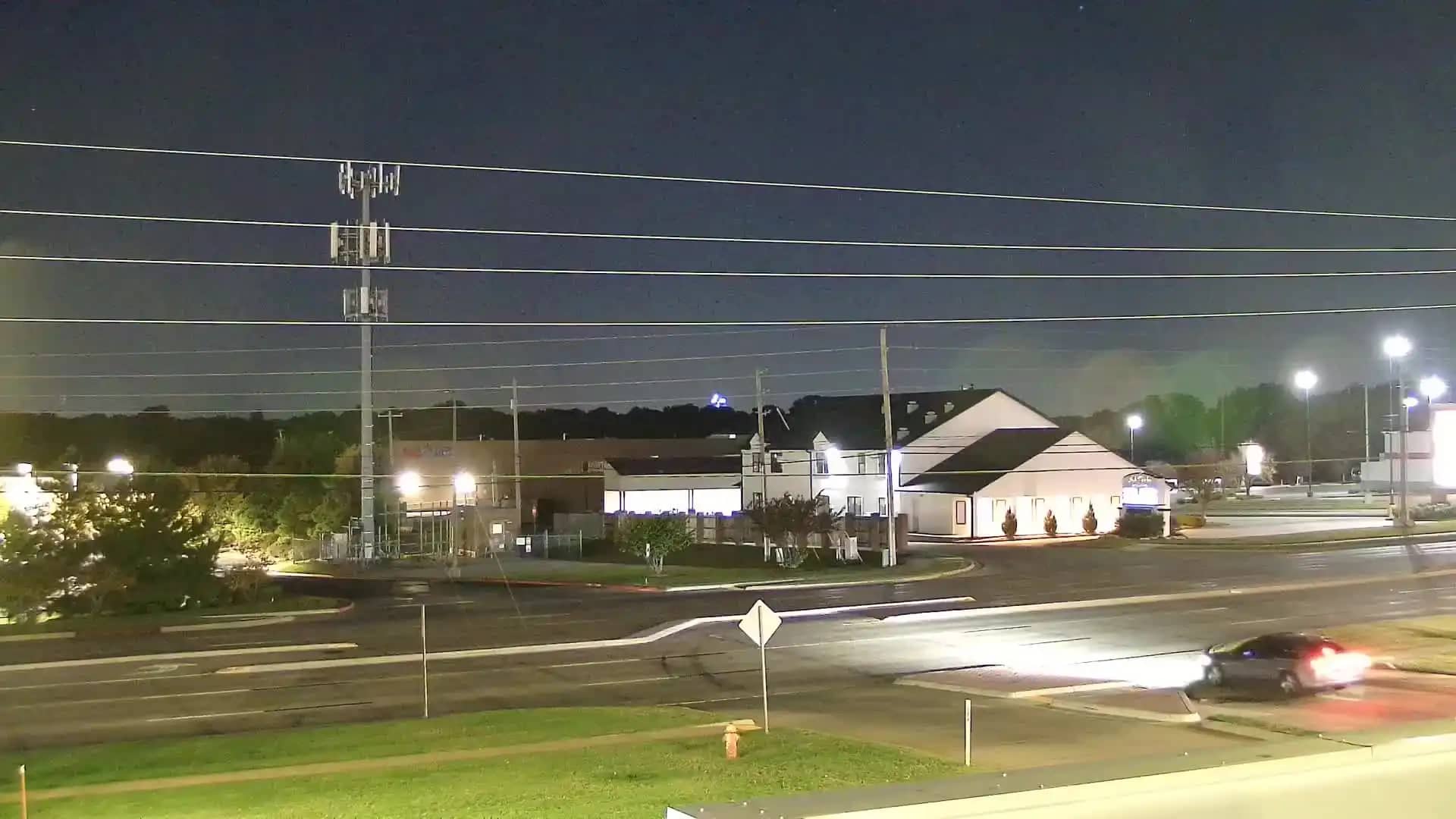
Oklahoma, United States — 41 km
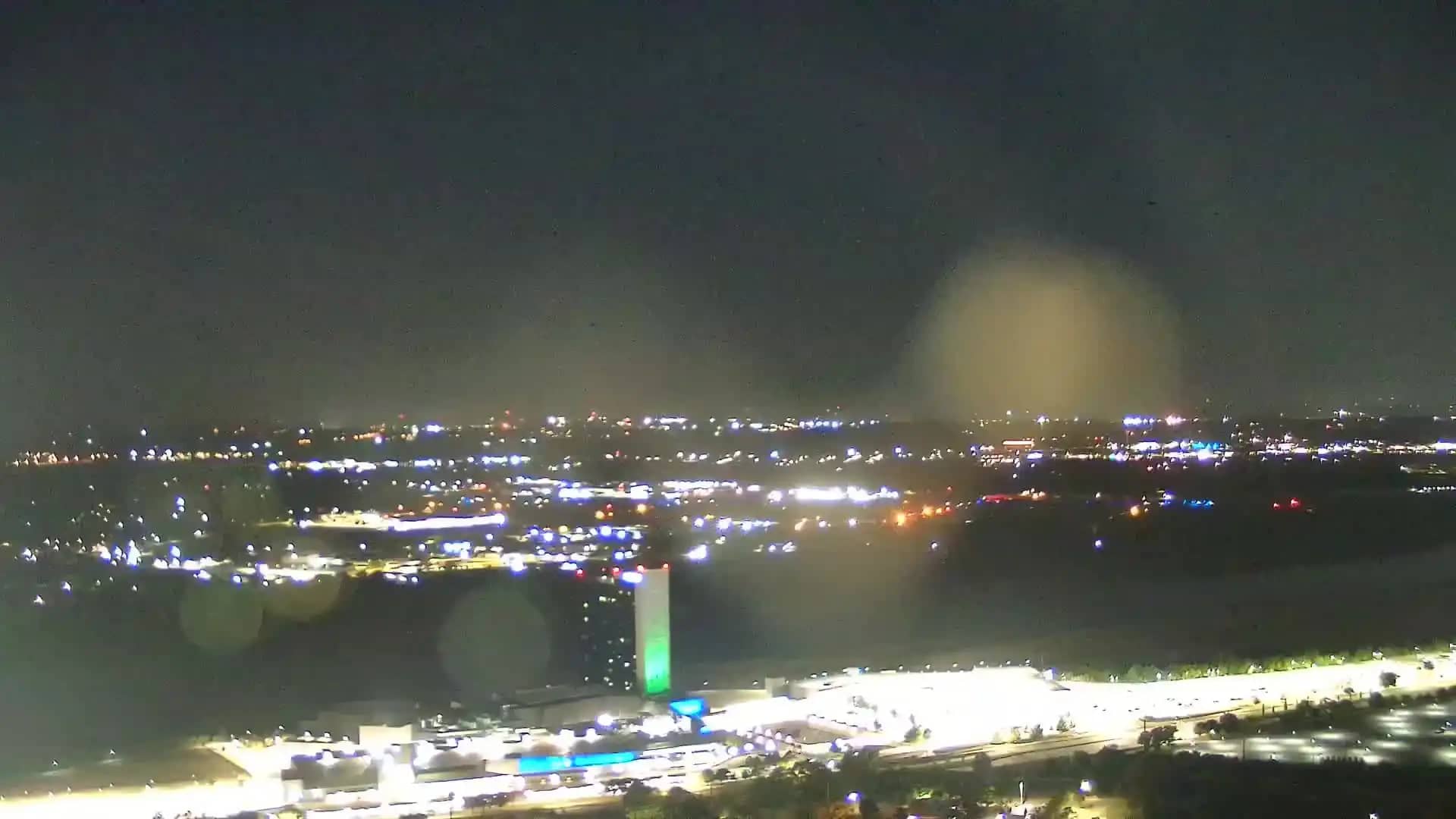
Oklahoma, United States — 43 km
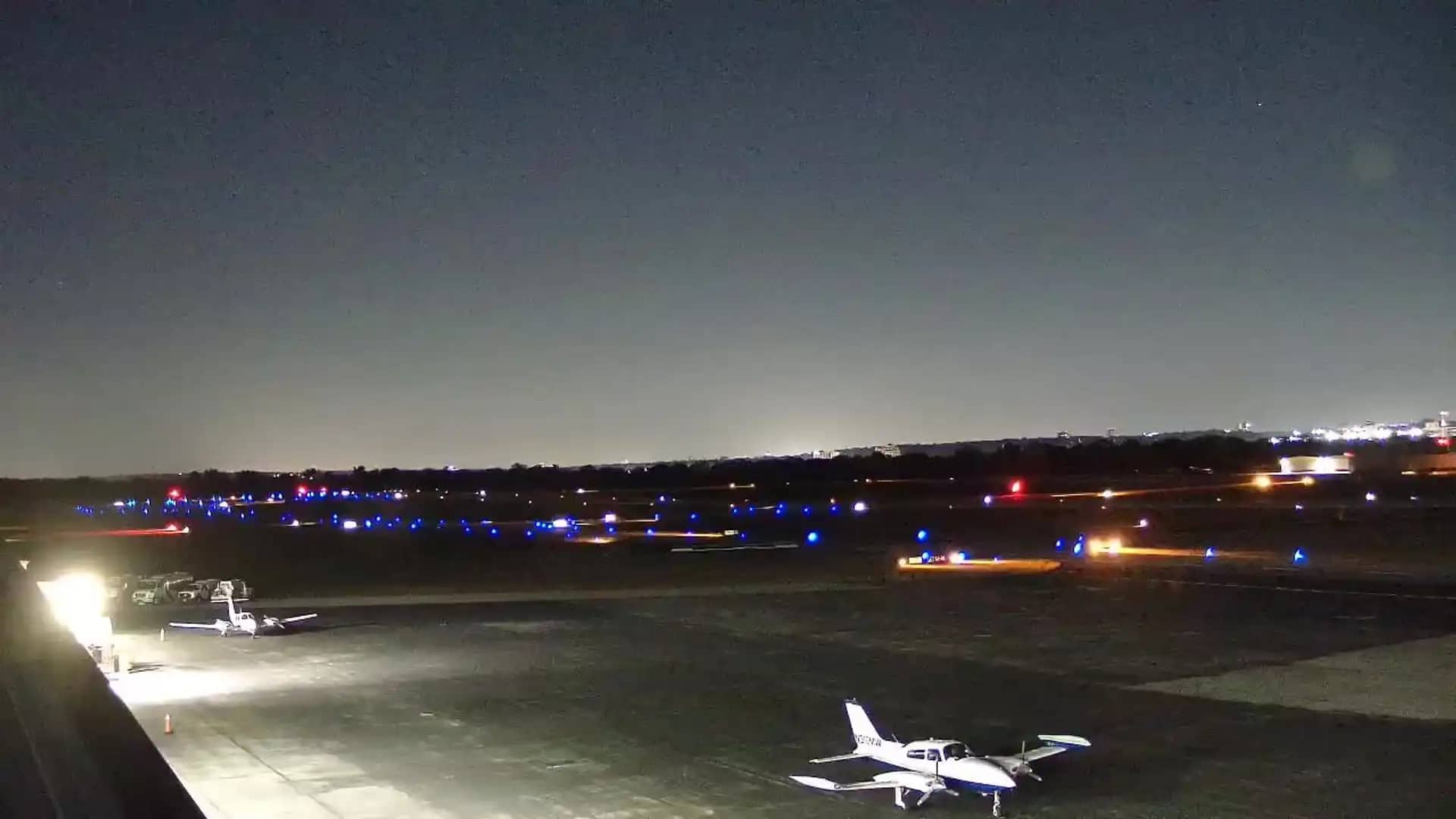
Oklahoma, United States — 45 km
The current weather and a 3-day forecast for Claremore are shown in the live block on this page and update automatically. Check it alongside the camera before planning a trip.
The local time for Claremore is displayed on this page and follows the Central time zone used across this part of Oklahoma.
The camera is in Claremore, Oklahoma, at approximately 36.31 north and 95.62 west, about 182 metres above sea level. The map on this page shows its position.
Daylight hours give the clearest view, and late afternoon often shows the best light. Spring is the most active season for weather, so it can be worth checking during storm periods.
Partner links: we may earn a commission at no extra cost to you.