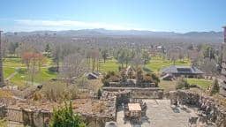
Asheville
North Carolina, United States — 20 km

🇺🇸 North Carolina · United States — Altitude 731 m
This live camera looks out over Black Mountain, a small town in the Blue Ridge foothills of western North Carolina. The stream lets you check the sky, cloud cover and visibility from a distance before you plan a drive or a walk. The page also shows local time and the forecast for the next three days.
Black Mountain sits at about 730 metres in the Swannanoa Valley, a short drive east of Asheville. The town is known for its arts community, its historic downtown and its access to the Blue Ridge Parkway and the surrounding national forest. Mountains rise on most sides, so the light and weather can change quickly from one valley to the next. The town is a common base for hikers, potters and people who want a quieter pace than the city.
The view is most useful for judging the sky and cloud layers over the ridges. Morning often brings mist and low cloud in the valleys, which may lift by mid-morning. Late afternoon can be clear and good for seeing the outline of the hills. Autumn is a popular season in the region, when the surrounding forests change colour, though the exact look depends on the view and the year. Watch for storms building over the peaks in summer.
The area has warm, humid summers and mild winters, with snow possible but usually brief. Spring and autumn are generally the most comfortable times to be outdoors. Asheville, about 20 kilometres to the west, is the closest larger city and has more lodging and dining. Other cameras nearby include the Asheville views and the Hendersonville Horse Shoe Farm camera, which can help you compare conditions across the region.
Source: resortcams.com
North Carolina, United States — 20 km
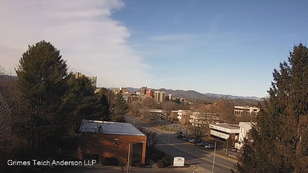
North Carolina, United States — 31 km

North Carolina, United States — 36 km
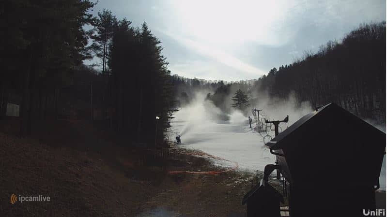
North Carolina, United States — 41 km
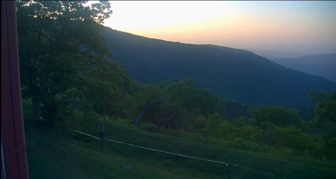
North Carolina, United States — 46 km

North Carolina, United States — 57 km

North Carolina, United States — 62 km

North Carolina, United States — 62 km
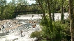
South Carolina, United States — 64 km

North Carolina, United States — 68 km
The current conditions and a three-day forecast are shown in the live weather block on this page. The values update automatically, so you can check them before heading out.
The local time is displayed on this page and matches the Eastern time zone used across North Carolina. The clock is shown in the live block above the camera.
The camera is located in Black Mountain, North Carolina, at about 731 metres altitude. The map on this page shows its position in the Blue Ridge foothills near Asheville.
Early morning shows valley mist and late afternoon gives the clearest outlines of the hills. Autumn is a popular season for scenery, but conditions depend on the weather at the time.
Partner links: we may earn a commission at no extra cost to you.