
Maggie Valley - Cataloochee Ranch
North Carolina, United States — 1 km

🇺🇸 North Carolina · United States — Altitude 1524 m
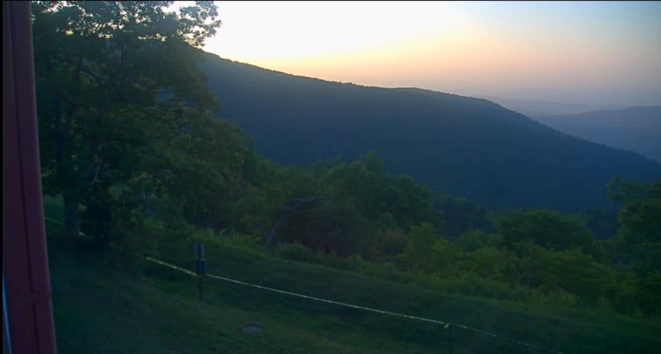
This live camera looks out over the mountain country above Waynesville in western North Carolina. It is a useful window onto the ridges and valleys of the Blue Ridge foothills, where cloud, fog and changing light can shift the view within minutes. Check it before you drive up to see what conditions are like.
Waynesville sits in Haywood County, in the Appalachian highlands of western North Carolina, at roughly 1,500 metres above sea level on the higher slopes. The Swag is a mountain area known for its ridgelines, forest cover and quiet resort atmosphere. The region is part of the Great Smoky Mountains foothills, a landscape shaped by old, rounded peaks and deep valleys that hold mist for much of the year.
The camera is listed as a mountain view, so expect a wide outlook over forested ridges rather than a single close-up subject. Autumn is often the most colourful season in these hills, while early mornings can bring low cloud drifting through the valleys. Clear afternoons tend to give the sharpest view of distant ridge lines, so watch the live feed at different times of day.
Mountain weather here changes quickly, and temperatures at this elevation are noticeably cooler than in the lowlands, even in summer. Spring and autumn are generally the most comfortable times to visit. Nearby, Maggie Valley and its Cataloochee cameras offer more views of the surrounding slopes and ski and resort areas, which you can compare with this one.
Source: resortcams.com
North Carolina, United States — 1 km

North Carolina, United States — 3.4 km

North Carolina, United States — 3.5 km

North Carolina, United States — 3.5 km

North Carolina, United States — 14 km

North Carolina, United States — 14 km
Tennessee, United States — 25 km
North Carolina, United States — 36 km

North Carolina, United States — 38 km

North Carolina, United States — 38 km
Current conditions and a three-day forecast for Waynesville are shown in the live weather block on this page. Mountain weather can change quickly, so check it before heading out.
The local time for Waynesville is shown on this page and follows the Eastern time zone used across North Carolina. The clock updates live alongside the camera.
The camera sits on The Swag, a mountain area above Waynesville in Haywood County, North Carolina, at about 1,500 metres altitude. The map on this page marks its position.
Clear mornings and afternoons usually give the best visibility over the ridges, while autumn brings the strongest colours. Low cloud is common in the valleys, so the view can change a lot during the day.
Partner links: we may earn a commission at no extra cost to you.