
Waynesville - Mountain Credit Union
North Carolina, United States — 0.1 km

Waynesville - NC
🇺🇸 North Carolina · United States — Altitude 839 m
This live camera looks out over Waynesville, a town in the mountains of western North Carolina. Watch it to get a sense of current conditions in the Blue Ridge foothills before you plan a drive, a hike or a visit to the area.
Waynesville sits at about 840 metres above sea level in Haywood County, close to the edge of the Great Smoky Mountains. It serves as a gateway to the Pisgah and Great Smoky Mountains national forests and is known for its small-town main street, galleries and restaurants. The surrounding ridges give the town a quiet, green character that changes noticeably from season to season.
The camera is an embedded live feed, so you can check it at any hour to see how the sky and light look over the town. Mountain weather can change quickly, so cloud cover, fog in the valleys and rain showers are worth watching. Autumn foliage in October is a popular time when the hills turn red and gold, and clear mornings often give the most distinct views of the ridgelines.
Waynesville has warm summers, mild springs and autumns, and cool winters with occasional snow at higher elevations. Late spring and early autumn are often the most comfortable times to visit. Nearby Maggie Valley and the Cataloochee area are about 12 kilometres away, and the other cameras listed on this page show those locations as well.
Source: resortcams.com
North Carolina, United States — 0.1 km

North Carolina, United States — 12 km

North Carolina, United States — 12 km

North Carolina, United States — 12 km

North Carolina, United States — 13 km

North Carolina, United States — 14 km
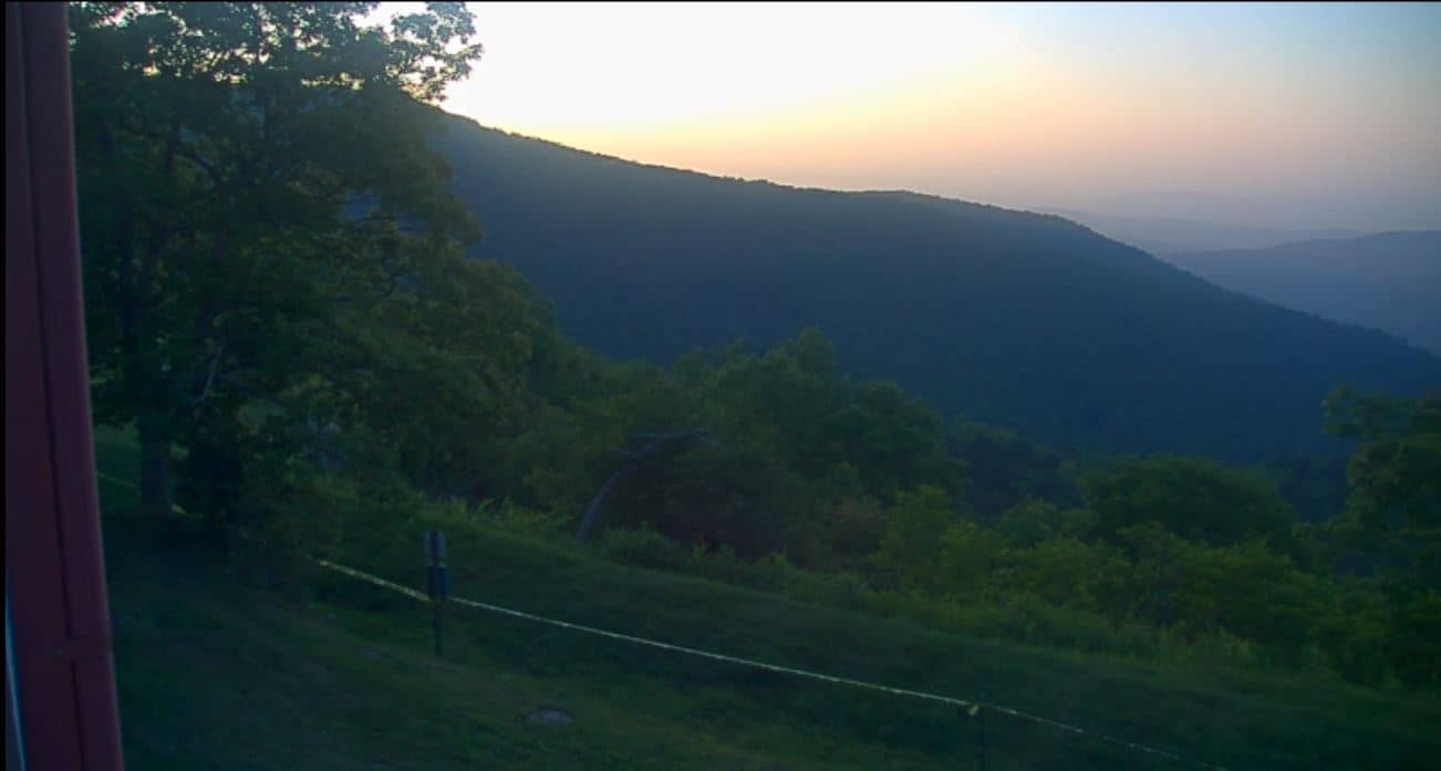
North Carolina, United States — 23 km
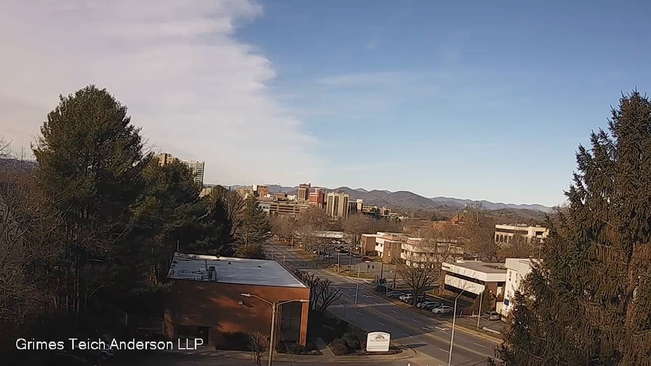
North Carolina, United States — 31 km

North Carolina, United States — 37 km
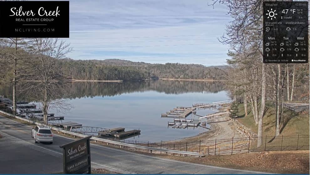
North Carolina, United States — 38 km
The current conditions and the 3-day forecast are shown in the live weather block on this page, updated for Waynesville. Mountain weather can differ from forecasts for nearby lowland areas.
The local time for Waynesville is displayed on this page and follows Eastern Time in the United States, including daylight saving changes.
The camera is located in Waynesville, North Carolina, at an elevation of about 840 metres. The map on this page shows its exact position in the town.
Daylight hours give the clearest view, and early mornings in autumn often bring the sharpest visibility over the ridges. Check the live weather block to see whether clouds or fog are likely.
Partner links: we may earn a commission at no extra cost to you.