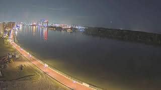
Jasper County - Upper East River - Savannah River View
South Carolina, United States — 4.8 km
Tybee Island
🇺🇸 Georgia · United States — Altitude 11 m
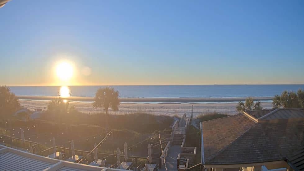
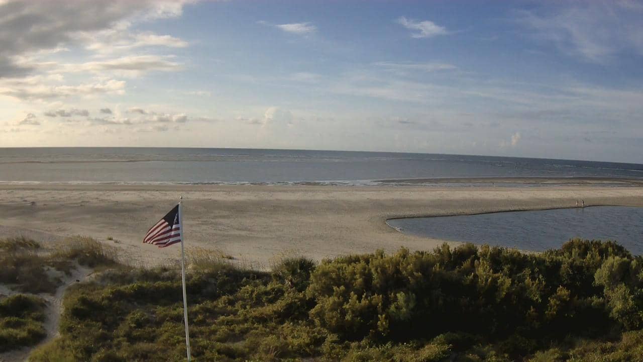
This live stream looks out over Tybee Island, a small barrier island at the mouth of the Savannah River on the Georgia coast. It is useful for checking the beach and surf conditions before a visit or simply for a calm view of the Atlantic shoreline. The page also shows local time and the current weather with a three-day forecast.
Tybee Island sits about 25 kilometres east of Savannah and is reached by a causeway across the marshes. It is one of the best known beach towns in Georgia, with a lighthouse, a historic fort and a long sandy shore facing the open ocean. The surrounding landscape is a mix of dunes, salt marsh and tidal creeks, and the island feels much more relaxed than the nearby city.
The camera is listed under nature and is a live video stream from a hotel on the island, so the view is best read as a beach and coastal check rather than a fixed landmark. Conditions change a lot through the day with the tide, and mornings often look calmer than afternoons when the wind builds. Watching around sunrise or late afternoon is a good way to judge the light on the water.
The coast has a humid subtropical climate, warm and wet in summer and mild in spring and autumn, which are generally the most comfortable seasons for the beach. Summer brings afternoon thunderstorms and the peak of hurricane season runs from late summer into autumn. Nearby cameras include Hilton Head Island, about 28 kilometres away, and Charleston Harbor, roughly 124 kilometres to the north-east.
Source: Hotel Tybee
South Carolina, United States — 4.8 km
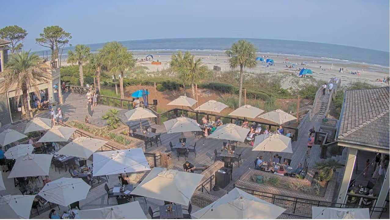
South Carolina, United States — 28 km

South Carolina, United States — 32 km

Georgia, United States — 36 km
South Carolina, United States — 96 km
South Carolina, United States — 99 km
South Carolina, United States — 114 km
South Carolina, United States — 117 km
South Carolina, United States — 124 km
South Carolina, United States — 129 km
The current conditions and a three-day forecast are shown in the weather block on this page, updated for the island. Check it before heading to the beach, as wind and storms can change quickly along the coast.
The local time for Tybee Island is displayed on this page and follows Eastern time. The clock is updated continuously so you can plan around the tide and daylight.
The camera is on the island off the coast of Georgia, near the mouth of the Savannah River. The map on this page marks its position so you can see where the view is taken from.
Mornings are usually calmer, while late afternoons show stronger waves and softer light. Spring and autumn are the most pleasant seasons, and summer is busiest with frequent afternoon storms.
Partner links: we may earn a commission at no extra cost to you.