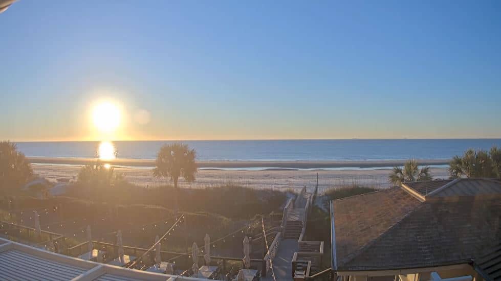
Tybee Island
Georgia, United States — 4.8 km
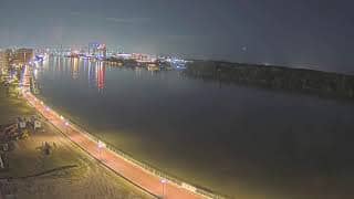
Jasper County - Upper East River - Savannah River View
🇺🇸 South Carolina · United States
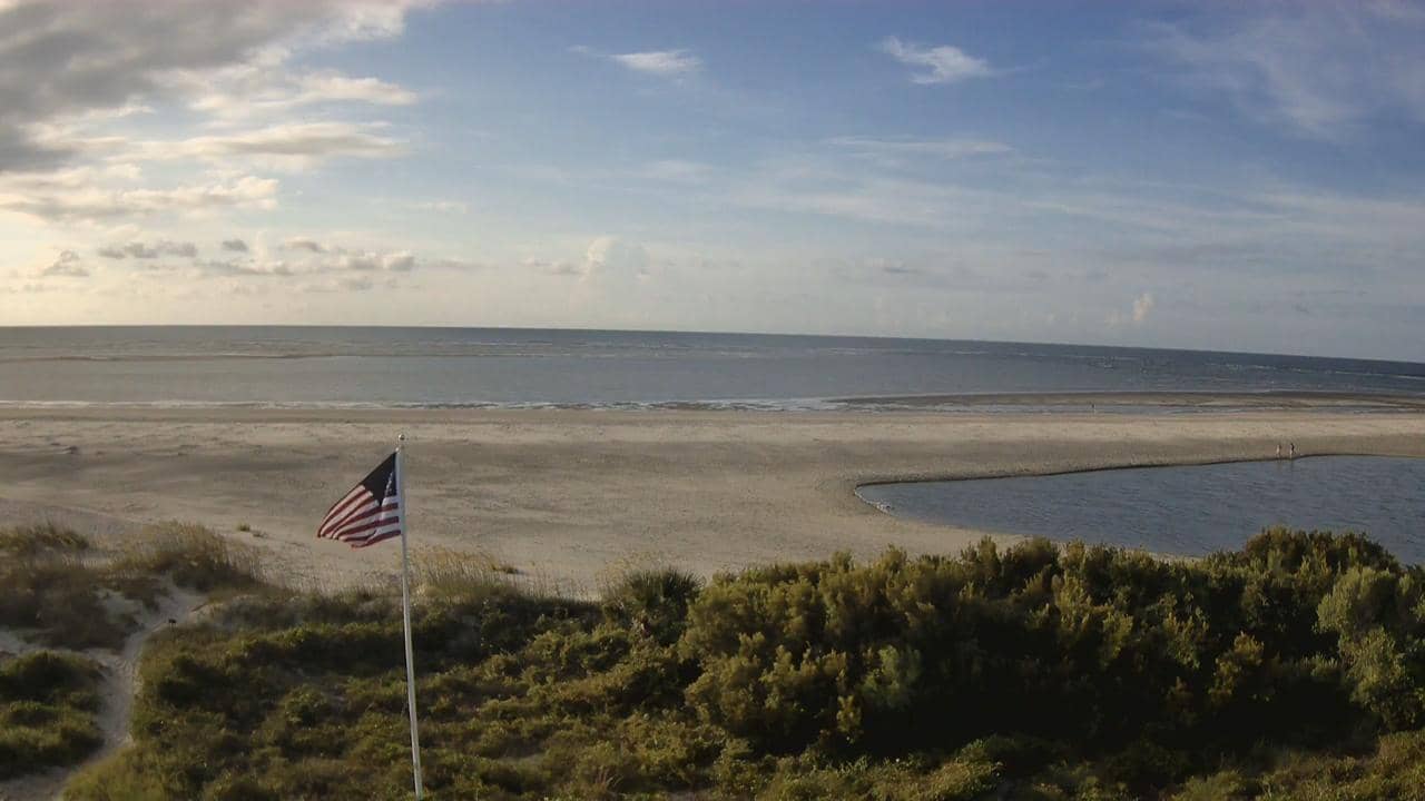
This live camera looks across the Savannah River in Jasper County, on the South Carolina side of the border with Georgia. It suits anyone curious about tidal rivers, marsh landscapes, or simply how the water looks at the moment. The page also shows local time and weather, so you can judge conditions before you watch.
Jasper County sits in the Lowcountry of South Carolina, a flat, low-lying region of rivers, tidal creeks and salt marsh along the Atlantic coast. The Savannah River forms the state's border with Georgia and runs to the ocean past the port of Savannah. The landscape is shaped by tides, so water levels and colours change noticeably over the course of a day. Much of the land is wetland and farmland, with long open views and a quiet, rural character.
The camera shows the river as seen from the Upper East River area, so the view is mainly water, banks and sky. Because the river is tidal, the most visible changes often come with the rising and falling water, which you can compare with the local clock on this page. Early morning and late afternoon tend to bring softer light and reflections, while overcast or stormy weather can make the surface darker and rougher. Conditions in the frame depend on the weather and season.
The Lowcountry has a humid subtropical climate, with hot, wet summers and mild winters, and spring and autumn are generally the most comfortable times to be outdoors. Hurricane season from June to November can bring heavy rain and high water, so check the current weather above before planning. Nearby cameras on VizCams include Tybee Island, Hilton Head Island, and Charleston Harbor, which together give a wider picture of the South Carolina and Georgia coast.
Source: CamStreamer
Georgia, United States — 4.8 km
South Carolina, United States — 23 km

South Carolina, United States — 27 km

Georgia, United States — 37 km
South Carolina, United States — 92 km
South Carolina, United States — 95 km
South Carolina, United States — 109 km
South Carolina, United States — 112 km
South Carolina, United States — 119 km
South Carolina, United States — 124 km
The current conditions and a three-day forecast for Jasper County are shown in the weather block on this page. They update so you can check whether the river view is likely to be clear before you watch.
The local time for Jasper County is displayed on this page and follows the Eastern time zone used across much of the US East Coast. It helps you judge whether the light and tide on the camera match the time of day.
The camera is on the Savannah River in Jasper County, South Carolina, at approximately 32.04 N, 80.85 W. The map on this page marks the position so you can see the surrounding river and land.
Early morning and late afternoon usually give the softest light, and the tide shapes how the water looks through the day. Clear, calm weather makes the view easiest to see, though the exact conditions depend on the season and weather.
Partner links: we may earn a commission at no extra cost to you.