Mount Pleasant - WeatherCam
South Carolina, United States — 5.8 km
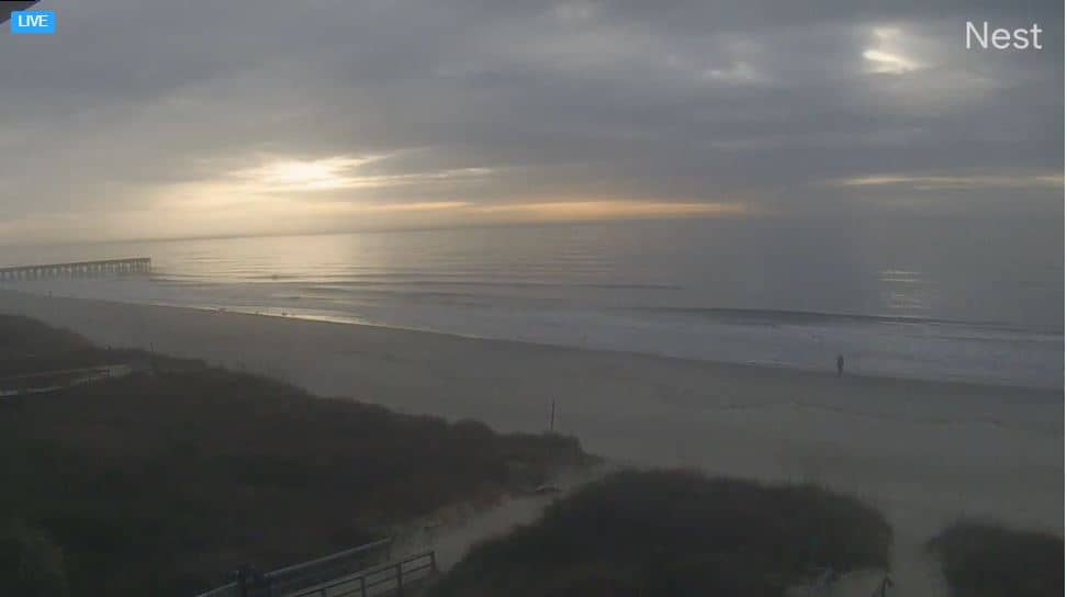
Charleston - Harbor
🇺🇸 South Carolina · United States — Altitude 8 m
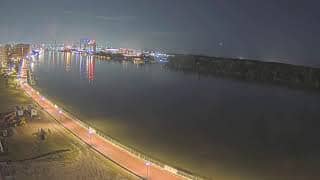
This live stream looks out over Charleston Harbor, where the Ashley and Cooper rivers meet the Atlantic. It is a working port setting, so the view is useful for anyone curious about coastal traffic, tides and the mood of the water in South Carolina. The page adds local time and weather so you can judge conditions before you watch.
Charleston sits on a peninsula between two rivers at the edge of the Atlantic, and its harbor has shaped the city since colonial times. Historic church spires, old brick warehouses and broad waterfront promenades line the shore. The harbor remains an active commercial waterway, so ships, tugs and ferries are part of the everyday scene. The low coastal landscape and marsh edges give the area a distinctly Lowcountry character.
Depending on the view, you may see container vessels, cruise ships, pilot boats or small craft moving across the water. Activity tends to be steadiest during daylight hours, when working vessels come and go. Late afternoon often brings warm light across the harbor, while clear mornings can show the water at its calmest. Weather changes quickly here, so a glance at the live conditions on this page helps explain what the water is doing.
Charleston has a humid subtropical climate, with hot, muggy summers and mild winters. Spring and autumn are generally the most comfortable seasons for visiting, though late summer brings afternoon thunderstorms and the hurricane season runs from June to November. Nearby on the coast you can find other cameras, including Mount Pleasant, Sullivan's Island and Folly Beach, which show the wider shoreline around the city.
Source: The Windjammer
South Carolina, United States — 5.8 km
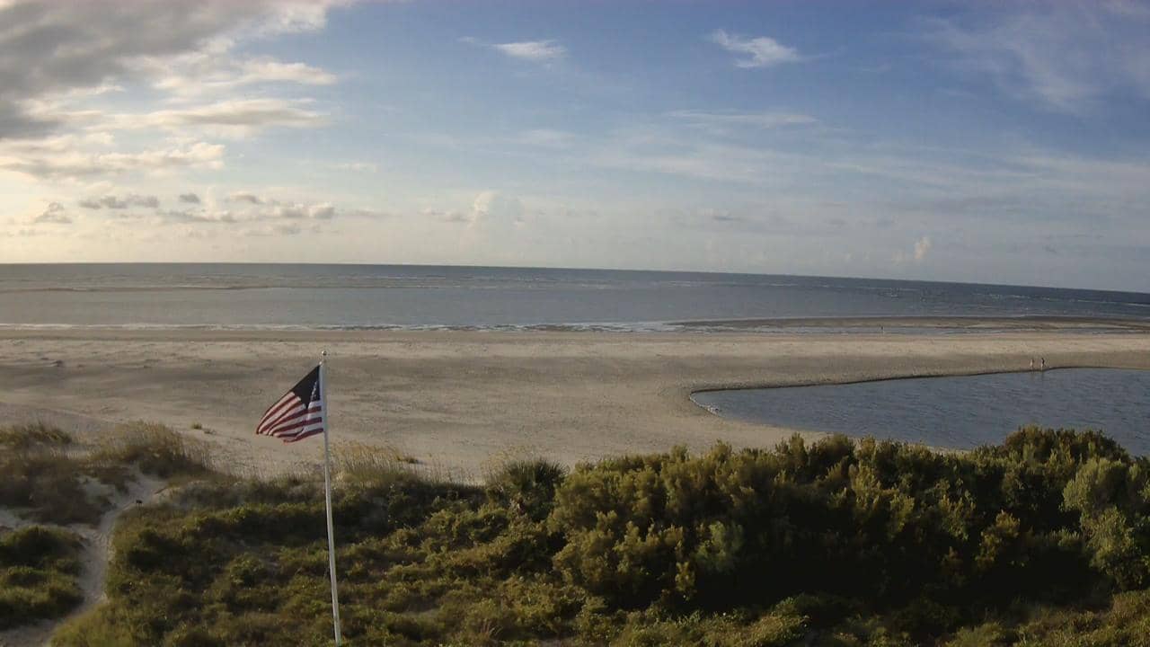
South Carolina, United States — 8.6 km
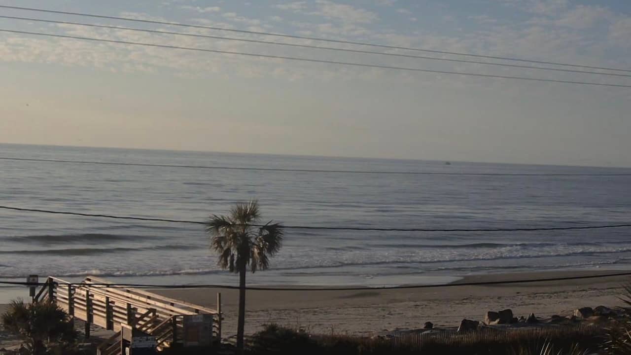
South Carolina, United States — 12 km
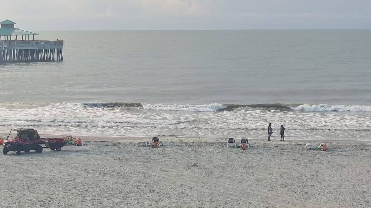
South Carolina, United States — 13 km
South Carolina, United States — 25 km
South Carolina, United States — 28 km

South Carolina, United States — 94 km
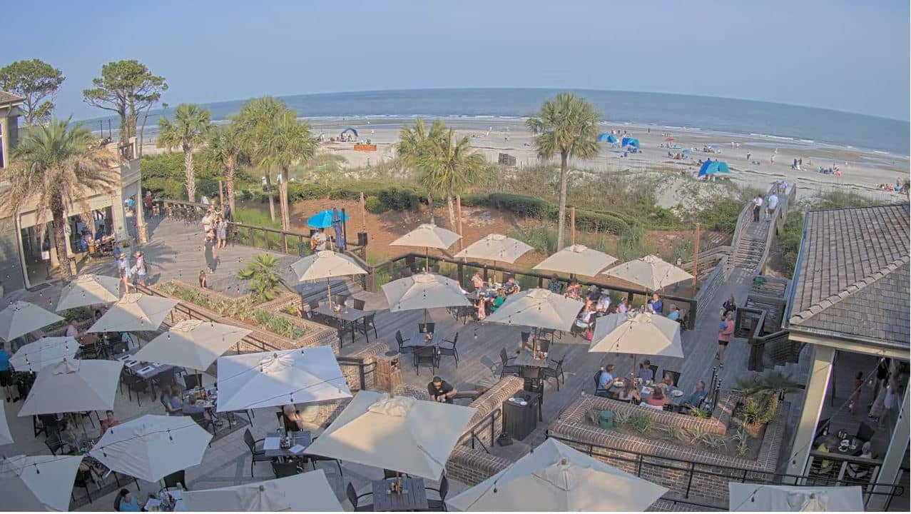
South Carolina, United States — 96 km
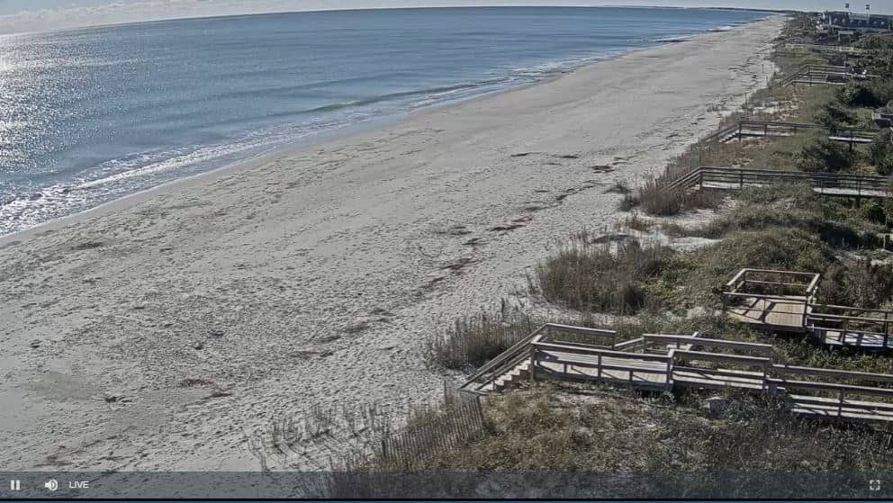
South Carolina, United States — 104 km
South Carolina, United States — 119 km
The current conditions and the three-day forecast for Charleston are shown in the weather block on this page. They update with the page, so check there before planning a visit or a boat trip.
The local time for Charleston is shown on this page and follows the Eastern time zone used across the East Coast of the United States, including daylight saving changes.
The camera is located near the harbor in Charleston, South Carolina, at the point where the Ashley and Cooper rivers meet the Atlantic. The map on this page marks its position.
Daylight hours are usually the most active, with ships moving through the harbor, while late afternoon light often makes the water look its best. Weather can change the view quickly, so check the live conditions.
Partner links: we may earn a commission at no extra cost to you.