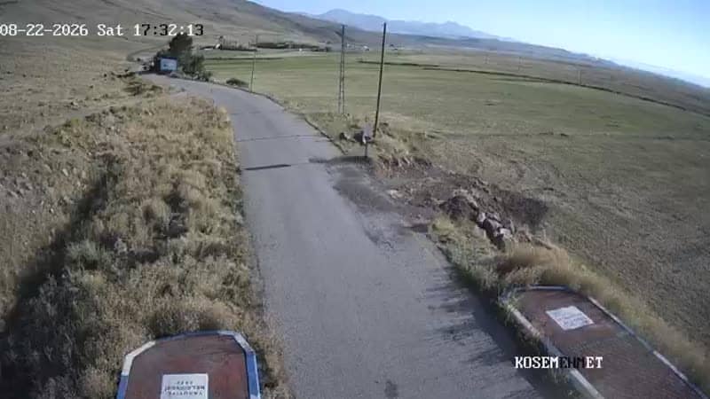
Kırmızıtaş - Çıkış
Erzurum, Türkiye — 0 km
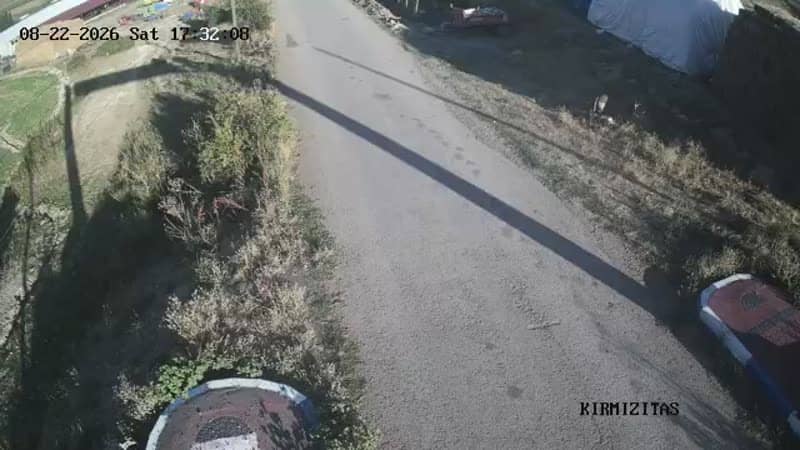
The camera is temporarily offline
The owner's stream is not available right now. Try again later or watch a camera nearby.
Kırmızıtaş - Giriş
🇹🇷 Erzurum · Türkiye — Altitude 1830 m
This live stream watches the entrance to Kırmızıtaş, a mountain locality in Yakutiye district of Erzurum province in eastern Anatolia. It is useful for anyone planning to drive up toward the mountain and wanting to see the approach before setting out.
Kırmızıtaş sits at roughly 1,830 metres above sea level, on the high plateau that surrounds the city of Erzurum. The region is known for wide valleys, forested slopes and a continental climate with long, cold winters. Erzurum itself is one of the largest cities in eastern Turkey and a common base for visitors heading into the mountains. The area lies close to a cluster of nearby mountain villages connected by local roads.
The camera is positioned at the entrance point, so the view is centred on the access road and the surrounding slopes. Based on its title and category, it reflects traffic and road conditions rather than a scenic overlook. The view is most worth checking in the morning and early afternoon, when visibility tends to be clearest. In winter, snow cover and icy patches on the road are the main things to watch for.
Summers are mild and well suited to walking and sightseeing, while winter brings heavy snow and temperatures well below freezing. Drivers should check the live view and the weather block on this page before heading up, particularly between November and March. Three other cameras in the same mountain area, including the exit point and the nearby Gülpınar entrance, are listed below for a fuller picture of conditions along the route.
Source: canliyayin.yakutiye.bel.tr
Erzurum, Türkiye — 0 km
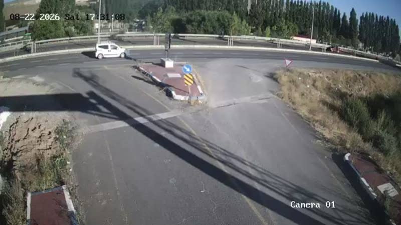
Erzurum, Türkiye — 2.6 km
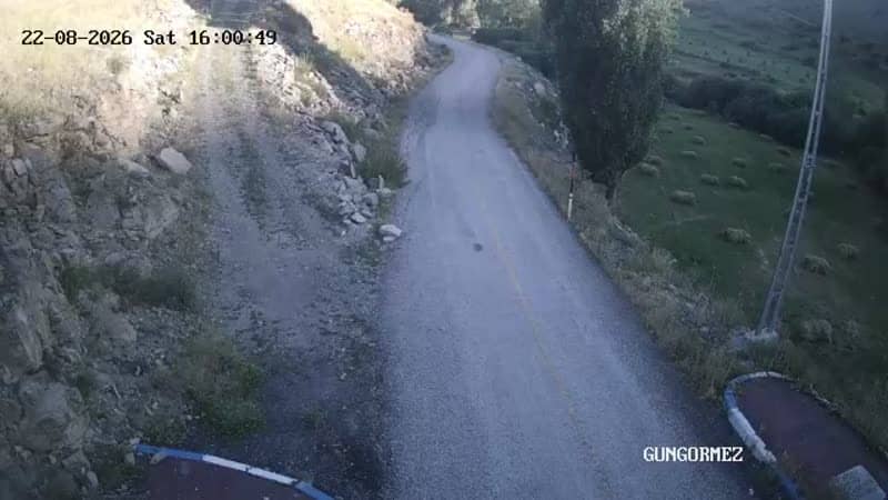
Erzurum, Türkiye — 2.6 km
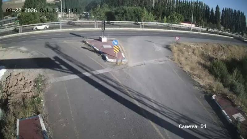
Erzurum, Türkiye — 2.6 km
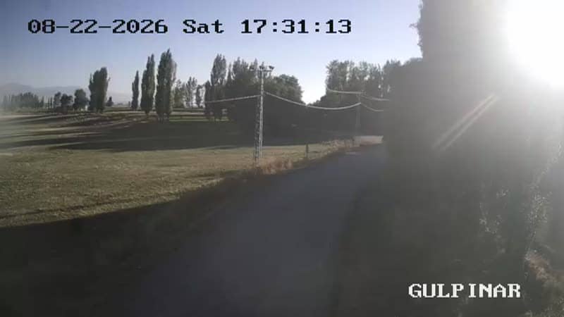
Erzurum, Türkiye — 2.6 km
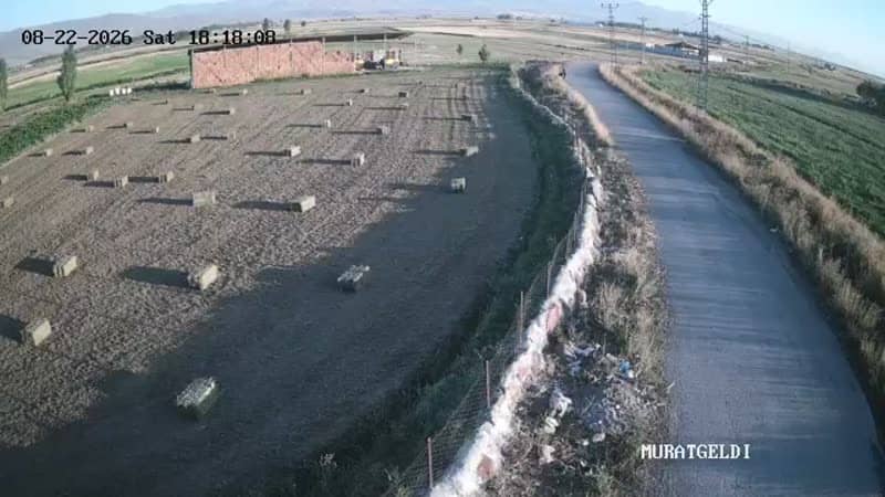
Erzurum, Türkiye — 3.4 km
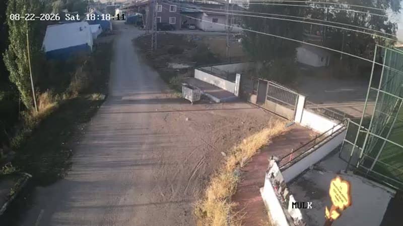
Erzurum, Türkiye — 3.4 km
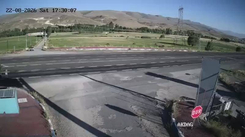
Erzurum, Türkiye — 3.7 km
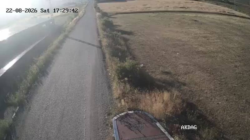
Erzurum, Türkiye — 3.7 km
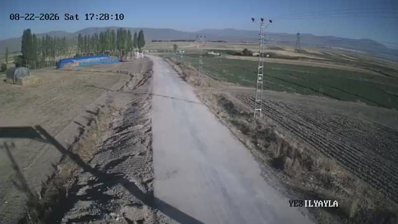
Erzurum, Türkiye — 4.7 km
The current conditions and a three-day forecast for Kırmızıtaş are shown in the weather block on this page. The values update automatically, so check there before travelling.
The local time for Kırmızıtaş is displayed on this page and follows the Turkish time zone. It updates live alongside the camera.
The camera is at the Kırmızıtaş entrance in Yakutiye district, Erzurum, at an altitude of about 1,830 metres. The map on this page marks its position.
Morning and early afternoon usually give the clearest view. In winter, check the stream before driving, since snow and ice can change conditions quickly.
Partner links: we may earn a commission at no extra cost to you.