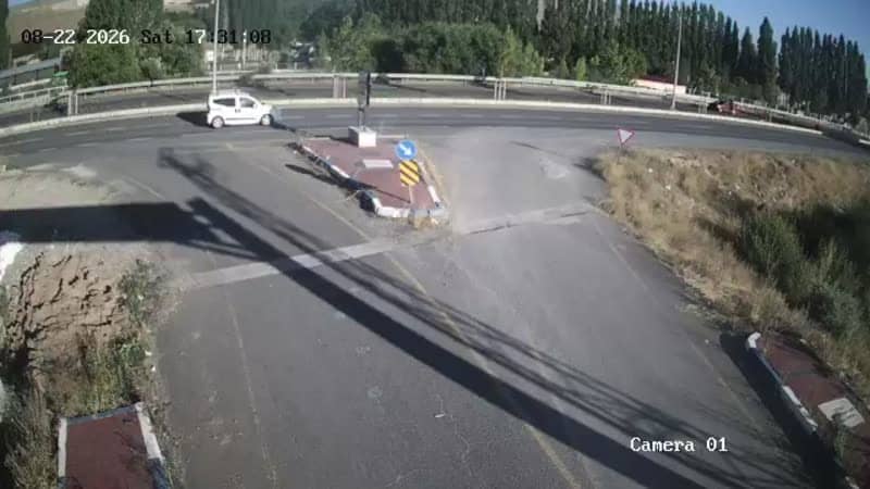
Gülpınar - Çıkış
Erzurum, Türkiye — 0 km
The camera is temporarily offline
The owner's stream is not available right now. Try again later or watch a camera nearby.
Gülpınar - Giriş
🇹🇷 Erzurum · Türkiye — Altitude 1830 m
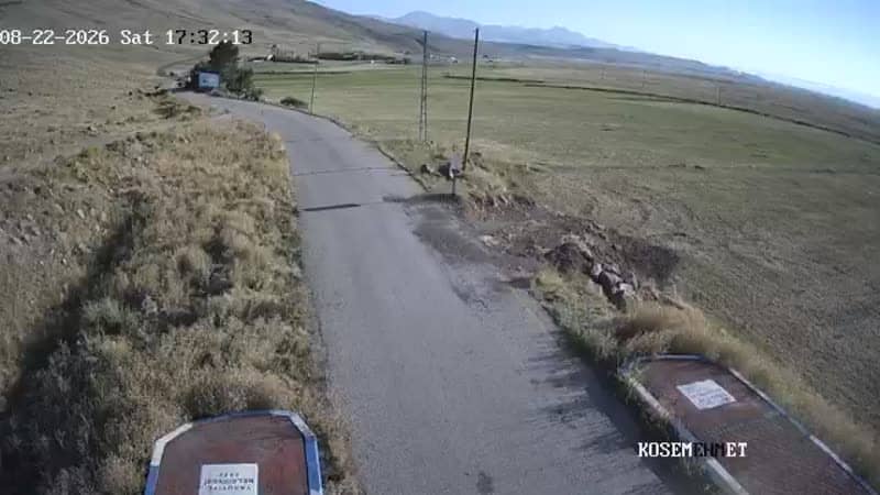
This live stream looks toward the entrance of Gülpınar, a small mountain settlement in Erzurum province in eastern Türkiye. It is useful if you want to see the road conditions and the mood of the valley before heading up into the highlands.
Gülpınar lies in the Yakutiye district area of Erzurum, on the high plateau of eastern Anatolia at roughly 1,830 metres above sea level. The region is known for wide, open landscapes, cold winters and a strong rural character, with the city of Erzurum serving as the main hub for travellers. Life here follows the seasons, and the surrounding countryside is shaped by pastoral farming and the long mountain roads that connect villages across the province.
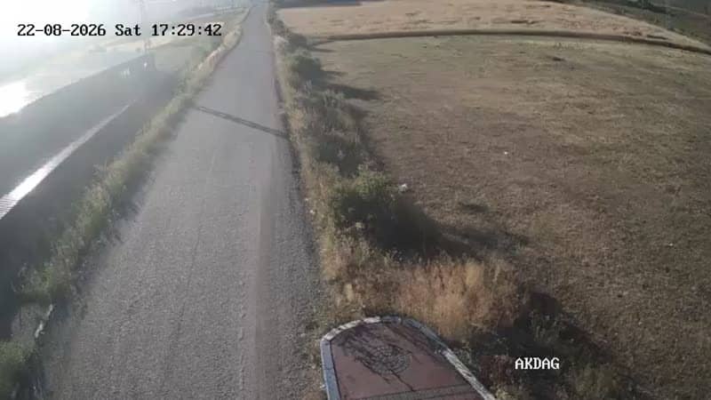
The camera is placed at the entrance point, so its view is mainly about traffic, weather and snow cover on the approach. The picture is most informative in the morning and late afternoon, when light is low and changes in cloud and fog are easy to follow. In winter the view can show how much snow has settled on the road, which is the detail most people check before travelling. Please note that the image is a live stream from its owner and its exact framing can change.
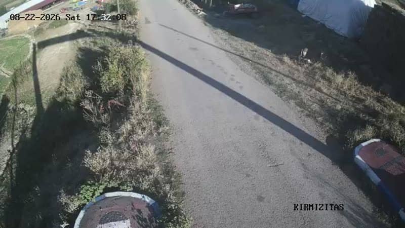
Summers are short and mild, while winters are long and very cold, with heavy snowfall common from late autumn into spring. Visitors usually plan trips for late spring through early autumn, when roads are most reliable. From here you can also check the Kırmızıtaş junction cameras just a few hundred metres away, or the Muratgeldi entrance about two kilometres off, to compare conditions along the route.
Source: canliyayin.yakutiye.bel.tr
Erzurum, Türkiye — 0 km
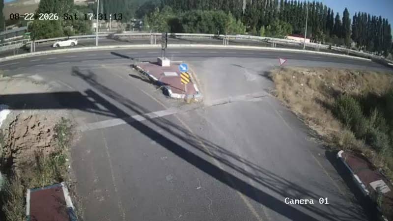
Erzurum, Türkiye — 0 km
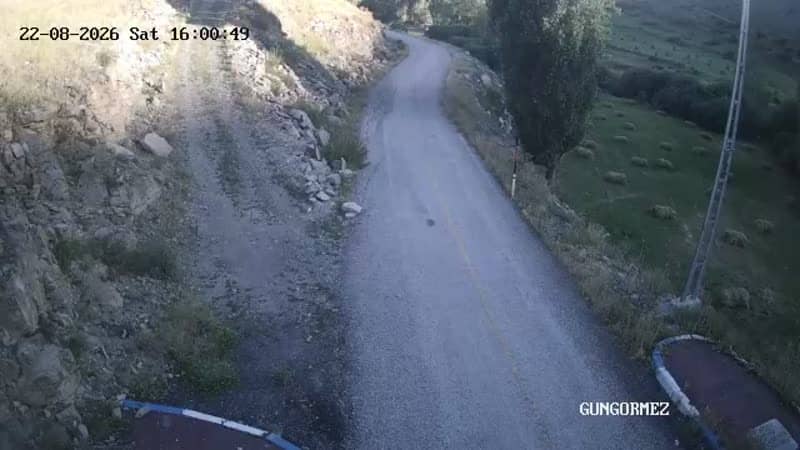
Erzurum, Türkiye — 0 km
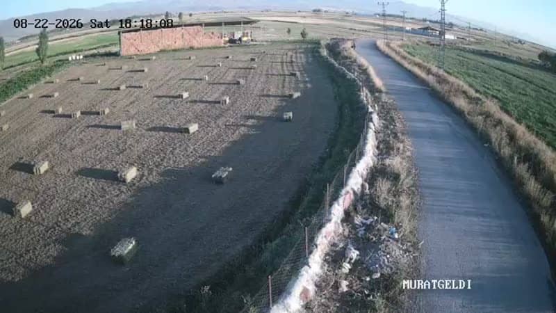
Erzurum, Türkiye — 2.3 km
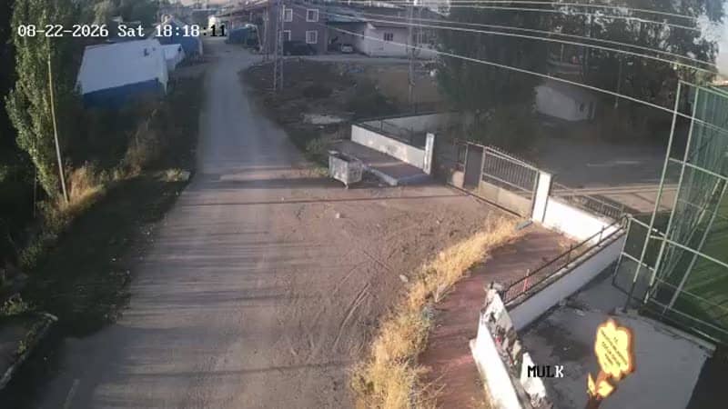
Erzurum, Türkiye — 2.3 km
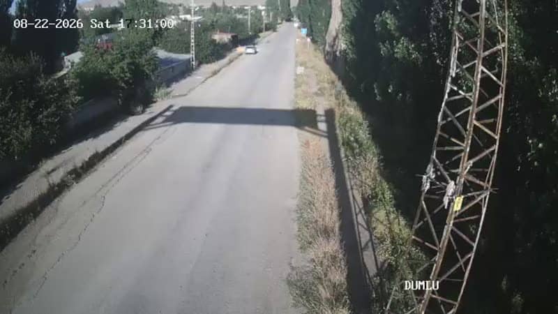
Erzurum, Türkiye — 2.6 km
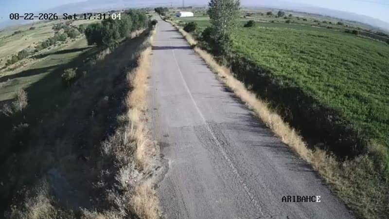
Erzurum, Türkiye — 2.6 km
Erzurum, Türkiye — 2.6 km
Erzurum, Türkiye — 2.6 km
Erzurum, Türkiye — 3.8 km
The current conditions and a 3-day forecast for Gülpınar are shown in the weather block on this page. Because the settlement sits at high altitude, temperatures can differ noticeably from those in Erzurum city.
The local time for Gülpınar is displayed live on this page, using the time zone of eastern Türkiye. Check the clock block above the camera for the current reading.
The camera is at the Gülpınar entrance in Erzurum province, at about 1,830 metres altitude. The map on the page marks its position so you can see the surrounding roads.
Morning and late afternoon give the clearest light and the easiest reading of weather and road conditions. In winter, the view is most useful for checking snow on the approach.
Partner links: we may earn a commission at no extra cost to you.