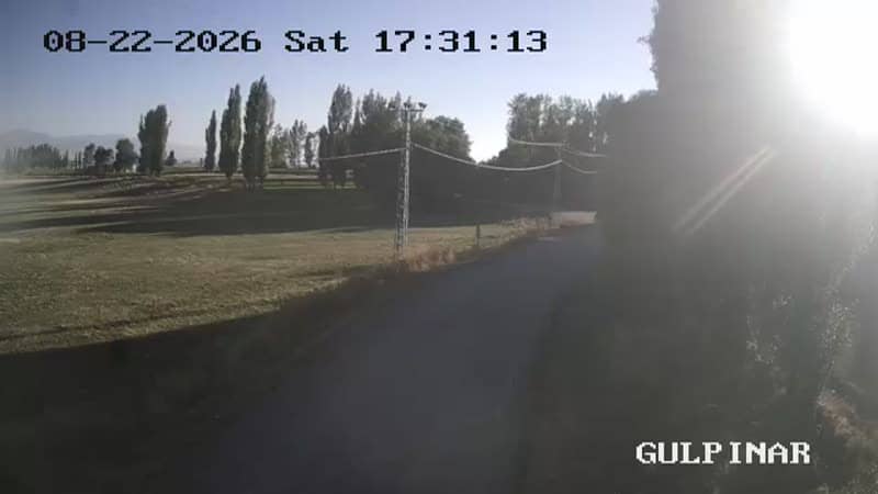
Gülpınar - Giriş
Erzurum, Türkiye — 0 km
The camera is temporarily offline
The owner's stream is not available right now. Try again later or watch a camera nearby.
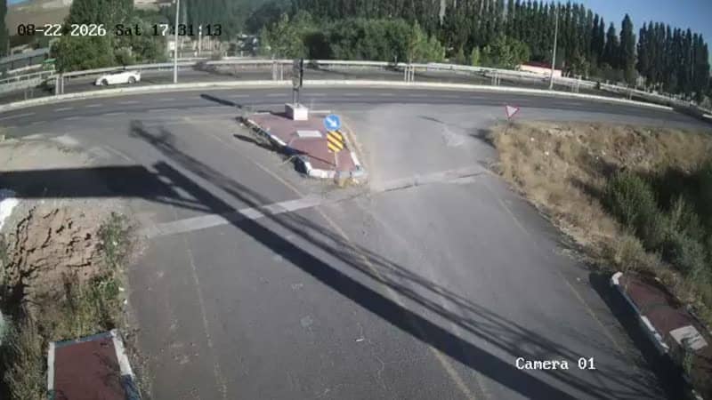
Gülpınar - Kırmızıtaş Sapak Giriş
🇹🇷 Erzurum · Türkiye — Altitude 1830 m
This live stream covers the Kırmızıtaş junction at the entrance to Gülpınar, a mountain village in Erzurum province in eastern Anatolia. It is useful for checking road and mountain conditions before a drive into the highlands, especially when snow or fog is possible.
Gülpınar sits in the Erzurum highlands at roughly 1,830 metres above sea level, in a region of open plateaus, pine-dotted slopes and long, cold winters. Erzurum is one of Turkey's highest major cities, and the surrounding countryside is known for its ski resorts, farming and winter sports. The area feels remote and quiet, with wide skies and dramatic changes in light across the seasons.
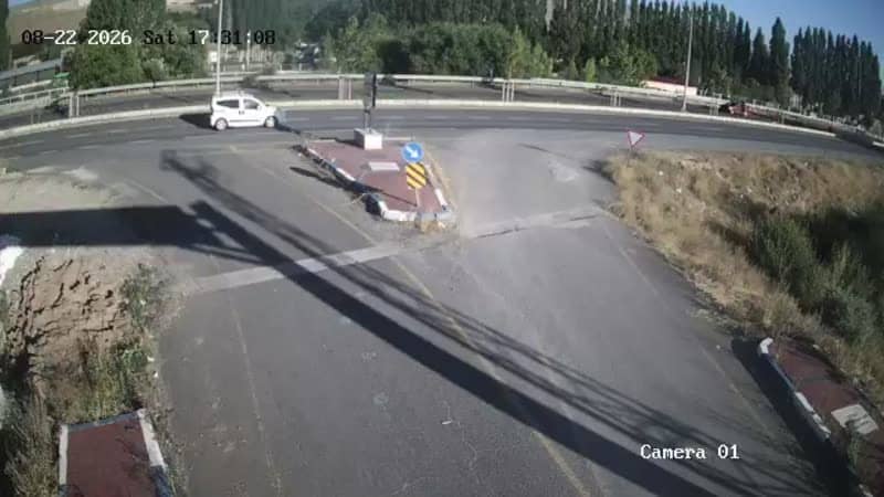
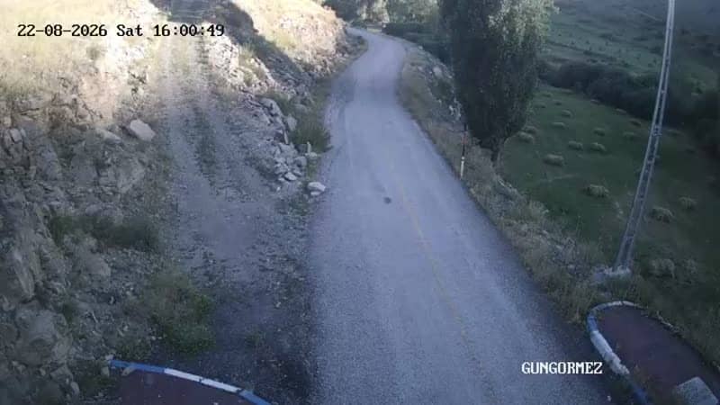
The title points to a road junction, so the view is most likely of traffic, the road surface and the approach into the village. Depending on the angle, you may also see the surrounding slopes. Mornings and late afternoons often bring the clearest light, while winter days can bring snow cover that changes the scene quickly. Check the live weather on this page before relying on the view.
Winters here are long and cold, with heavy snow and temperatures well below freezing, while summers are short and mild. Late spring and early autumn are generally the most comfortable times to travel. Other cameras in the Gülpınar area, including the exit and entrance points and the Muratgeldi entrance about 2 km away, let you compare conditions along the same route.
Source: canliyayin.yakutiye.bel.tr
Erzurum, Türkiye — 0 km
Erzurum, Türkiye — 0 km
Erzurum, Türkiye — 0 km
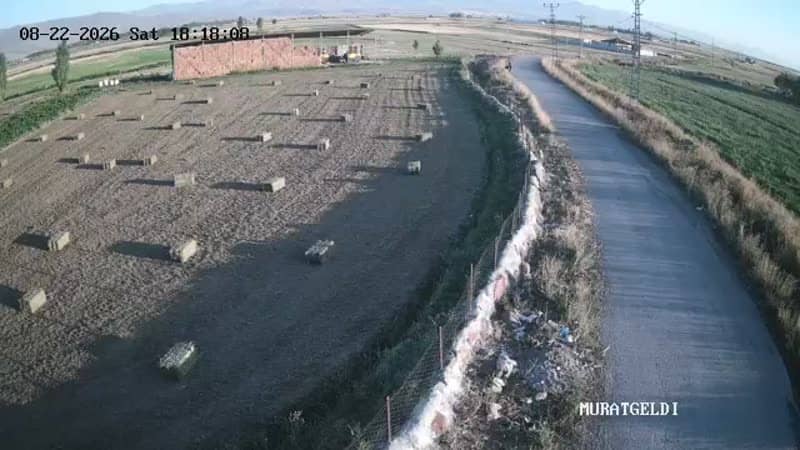
Erzurum, Türkiye — 2.3 km
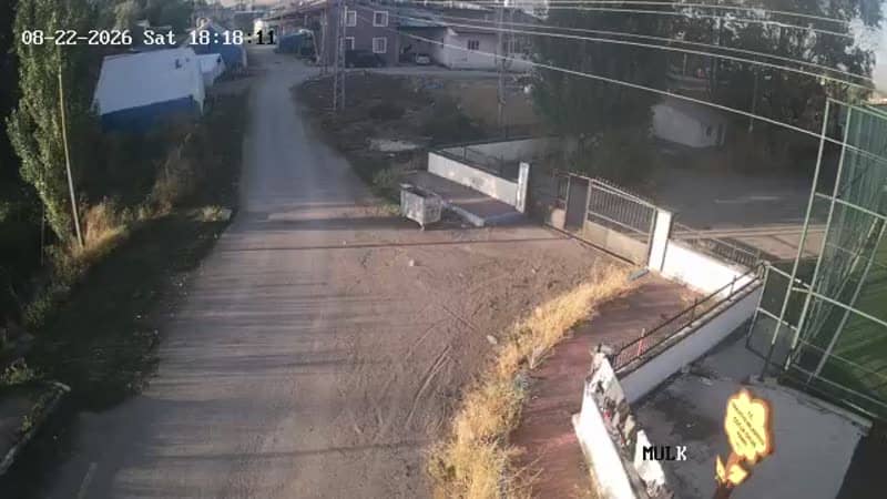
Erzurum, Türkiye — 2.3 km
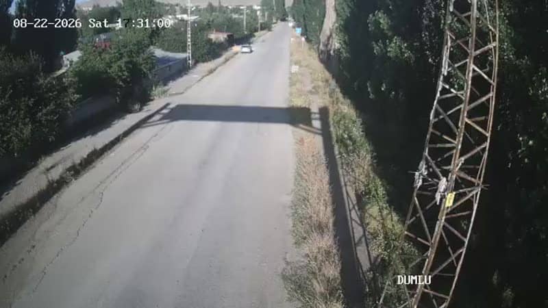
Erzurum, Türkiye — 2.6 km
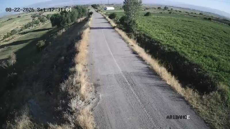
Erzurum, Türkiye — 2.6 km
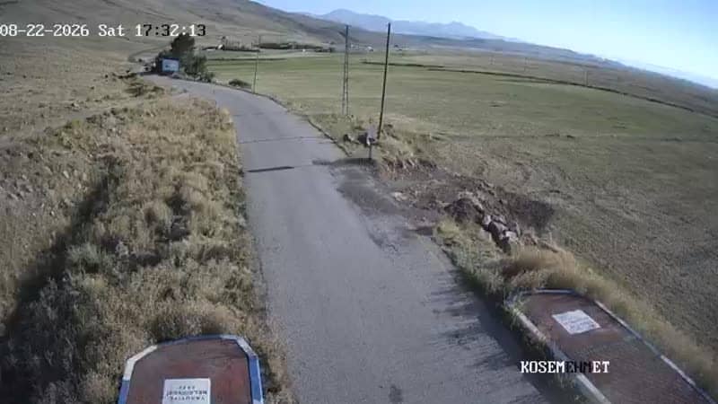
Erzurum, Türkiye — 2.6 km
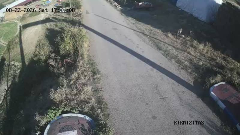
Erzurum, Türkiye — 2.6 km
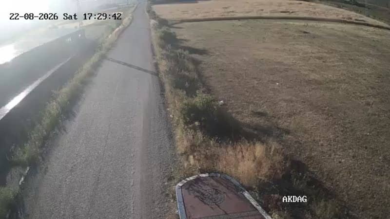
Erzurum, Türkiye — 3.8 km
The current conditions and a three-day forecast for Gülpınar are shown in the live weather block on this page. Mountain weather can change quickly, so check it before you travel.
The local time for Gülpınar is shown in the live time block on this page, updated continuously for the camera's location in Turkey.
The camera is at the Kırmızıtaş junction at the entrance to Gülpınar in Erzurum province, at an altitude of about 1,830 metres. The map on this page shows its exact position.
Daylight hours give the clearest view, and winter is the time when road and snow conditions are most useful to monitor. Check the weather block first to see whether the route is likely to be affected.
Partner links: we may earn a commission at no extra cost to you.