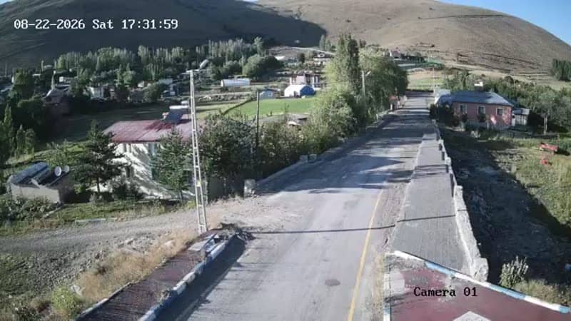
Kırkgöze - Giriş
Erzurum, Türkiye — 0 km
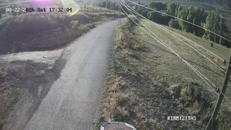
The camera is temporarily offline
The owner's stream is not available right now. Try again later or watch a camera nearby.
Kırkgöze - Çıkış
🇹🇷 Erzurum · Türkiye — Altitude 1830 m
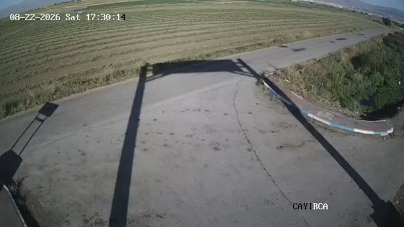
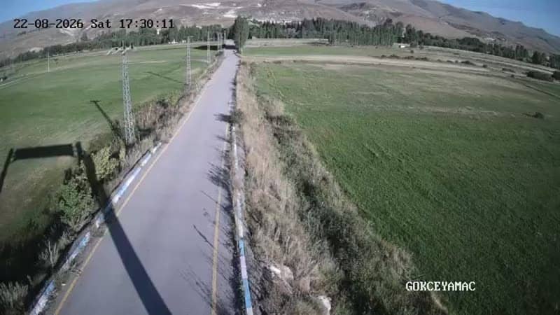
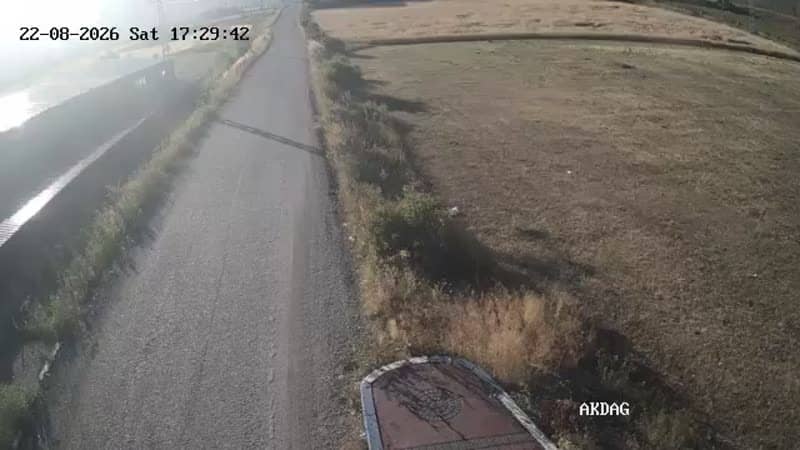
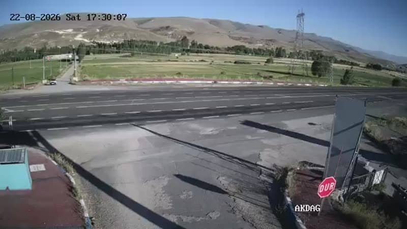
This live stream follows the exit gate at Kırkgöze, a mountain area in the Yakutiye district of Erzurum province in eastern Anatolia. It is useful for checking how the road and access point look before you travel, or simply for following conditions at altitude.
Kırkgöze sits in the mountains above Erzurum at roughly 1,830 metres. Erzurum is one of the highest major cities in Türkiye, known for its long winters, its historic Ottoman-era buildings and its role as a gateway to the eastern highlands. The surrounding countryside is open, rugged and shaped by snow for much of the year.
The camera is titled as an exit point, so the view is likely centred on a gate or road passage rather than a scenic panorama. Its value is practical: you can judge traffic flow and whether the route looks clear. Conditions change most with the seasons, and winter snow or early-morning fog are the moments when the view tells you the most.
Winters here are cold and snowy, and mountain roads can close temporarily, while summers are short, mild and pleasant. Late spring and early autumn are usually the easiest times to travel. Nearby cameras on this site cover the Söğütyanı and Gökçeyamaç access points, which help you compare conditions along the same route.
Source: canliyayin.yakutiye.bel.tr
Erzurum, Türkiye — 0 km
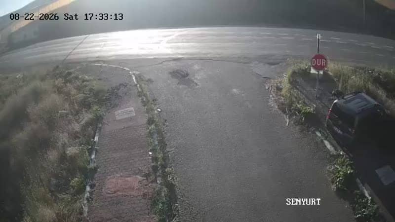
Erzurum, Türkiye — 2.1 km
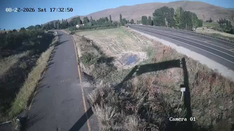
Erzurum, Türkiye — 2.1 km
Erzurum, Türkiye — 2.1 km
Erzurum, Türkiye — 2.1 km
Erzurum, Türkiye — 2.5 km
Erzurum, Türkiye — 2.5 km
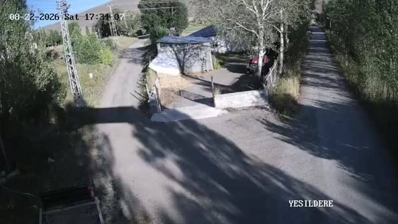
Erzurum, Türkiye — 4.3 km
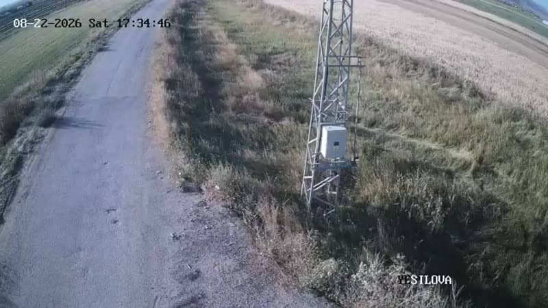
Erzurum, Türkiye — 4.3 km
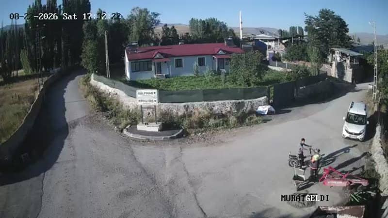
Erzurum, Türkiye — 4.7 km
The current conditions and a three-day forecast are shown in the live weather block on this page, updated automatically for the location.
The local time is displayed on this page and follows the Turkish time zone, so it stays accurate for the area without manual adjustment.
The camera is in the mountains near Erzurum at about 1,830 metres altitude. The map on this page marks its exact position and shows the access points nearby.
Daylight hours give the clearest view. In winter, check the stream during the day to see snow and road conditions, since they can change quickly at this altitude.
Partner links: we may earn a commission at no extra cost to you.