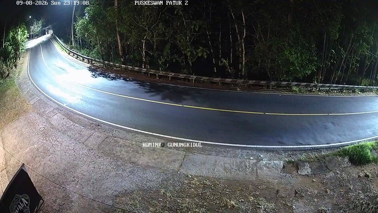
Gunungkidul - PuskeswanPutat
Yogyakarta, Indonesia — 1.2 km
The camera is temporarily offline
The owner's stream is not available right now. Try again later or watch a camera nearby.
Gunungkidul - KalurahanNglangeran1
🇮🇩 Yogyakarta · Indonesia — Altitude 271 m
This camera watches a village street in Kalurahan Nglangeran, part of Gunungkidul regency in the Special Region of Yogyakarta. It offers a live look at everyday village life on Java's southern side. Viewers often check it to see current conditions before planning a trip inland from the coast.
Gunungkidul lies on the southern part of Java, in the Special Region of Yogyakarta. The regency is known for its karst landscape, limestone hills, dry-season farming and a coastline of cliffs and quiet beaches. Nglangeran sits in this inland belt, where villages are spread across rolling terrain at a modest elevation of about 270 metres. Life here follows farming, local markets and the rhythm of nearby towns.
The camera is listed under the city category, so it is aimed at a populated road or village setting rather than open countryside. Activity is typically busiest in the morning and late afternoon, when people travel to work, school and markets. Weather changes are often visible, and the view is most useful for judging whether clouds or rain are building over the hills. Image details depend on the stream, so check the live view directly.
Yogyakarta has a tropical climate with a wet season from roughly November to March and a drier period from April to October, which is generally the better time to travel. Temperatures stay warm year round. Getting around usually means a private vehicle, motorbike or local transport from Yogyakarta city. Nearby cameras in Puskeswan Putat, SMP 2 Patuk Barat, SMP 2 Patuk Timur and Puskesmas Patuk II offer related views of the area.
Source: cctv.jogjaprov.go.id
Yogyakarta, Indonesia — 1.2 km

Yogyakarta, Indonesia — 1.7 km

Yogyakarta, Indonesia — 1.7 km
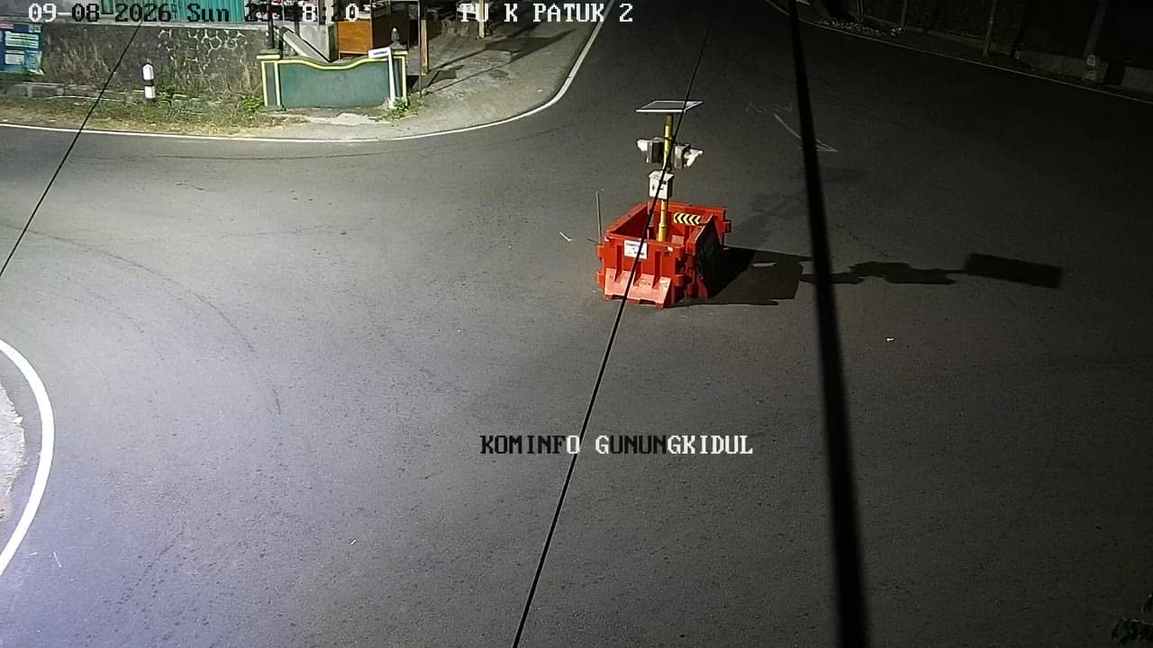
Yogyakarta, Indonesia — 3.2 km
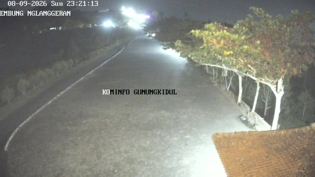
Yogyakarta, Indonesia — 3.5 km
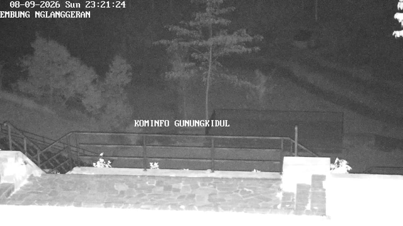
Yogyakarta, Indonesia — 3.6 km
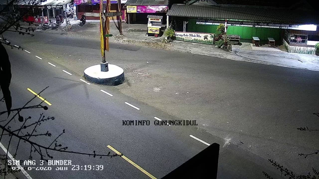
Yogyakarta, Indonesia — 3.7 km
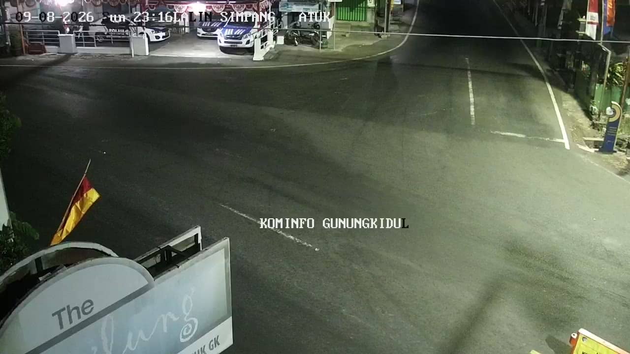
Yogyakarta, Indonesia — 3.8 km
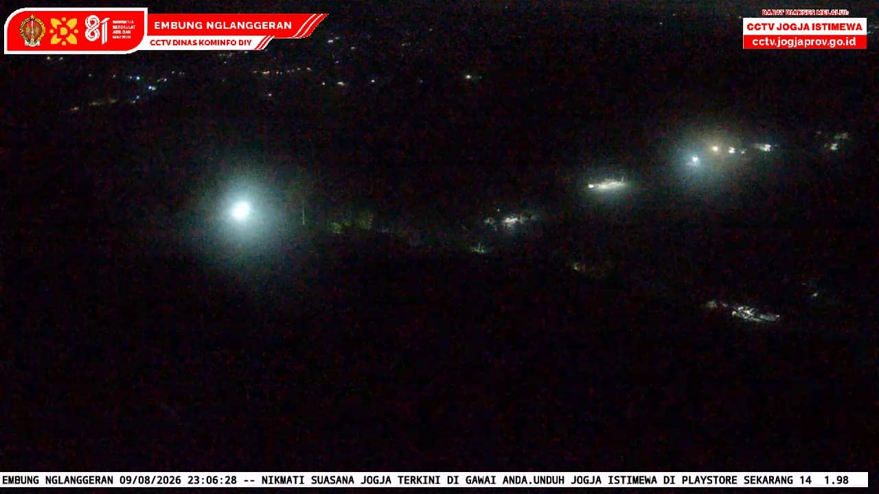
Yogyakarta, Indonesia — 3.8 km

Yogyakarta, Indonesia — 4 km
Current conditions and the three-day forecast for this location are shown in the live weather block on this page. The values update automatically, so check there for temperature, rain and wind.
The local time for this camera is displayed on the page and follows Western Indonesia Time. It updates continuously, so you can compare it with your own clock before watching the stream.
The camera is in Kalurahan Nglangeran, Gunungkidul regency, Yogyakarta, at an elevation of about 270 metres. The map on this page shows its precise position relative to Yogyakarta city and the surrounding villages.
Morning and late afternoon usually bring the most movement on village roads. In the wet season, the afternoon sky often shows developing clouds and showers over the hills.
Partner links: we may earn a commission at no extra cost to you.