
Gunungkidul - SMP2PatukBarat
Yogyakarta, Indonesia — 0.7 km
The camera is temporarily offline
The owner's stream is not available right now. Try again later or watch a camera nearby.
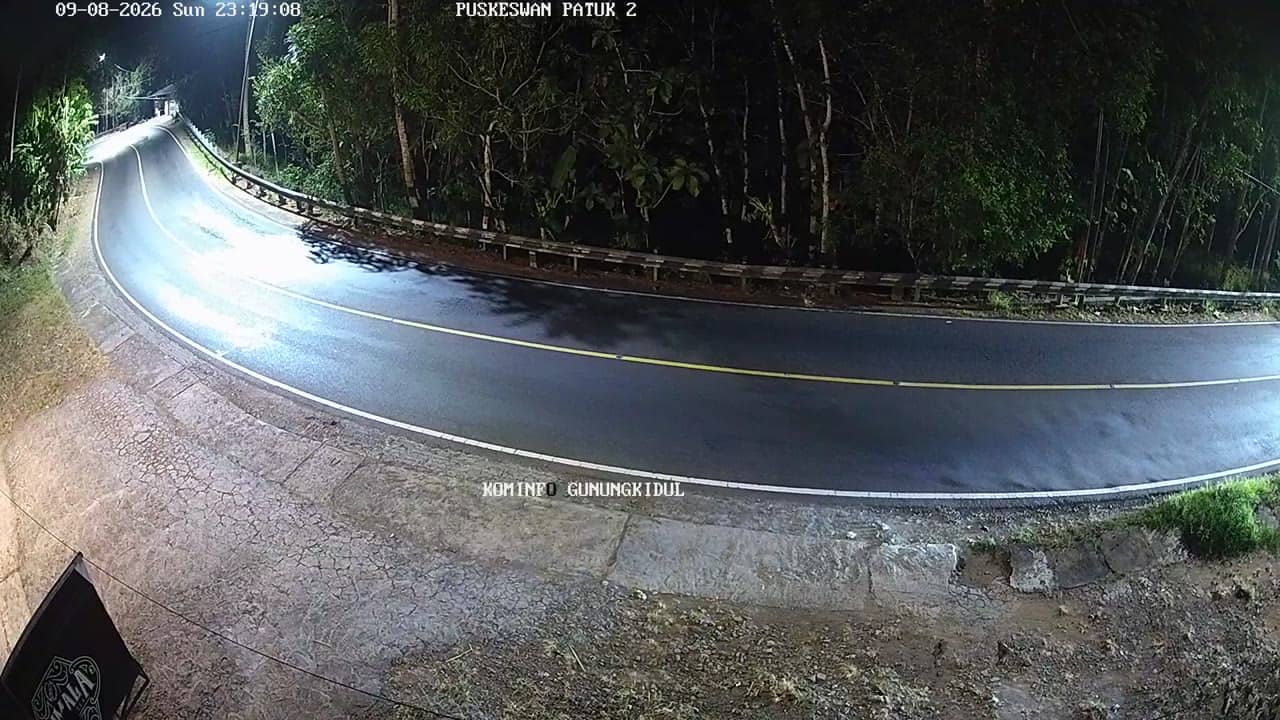
Gunungkidul - PuskeswanPutat
🇮🇩 Yogyakarta · Indonesia — Altitude 150 m
This live camera looks out over Putat in Gunungkidul, a regency south of the city of Yogyakarta on the island of Java. It is a useful window onto everyday life in a rural district where limestone hills and farmland meet the coast. Watch it to check conditions before travelling or simply to see the area as it is right now.
Gunungkidul covers a large part of the karst uplands south of Yogyakarta. The land is dry and rocky, shaped by limestone that holds rainwater underground, so villages often depend on wells, caves and seasonal springs. The region is known for its caves, its quiet southern coast and farming on terraced fields. Putat sits in this inland landscape, where life follows the rhythm of the seasons and the markets of nearby towns.
The title places this view at a local public health post, so expect a street-level or village scene rather than a famous landmark. Activity tends to pick up in the morning, when people head to work and school, and again in late afternoon. Cloud build-up over the hills is common in the wet season and can change the light quickly. Check the live feed and the weather block on this page before judging what the view shows at a given hour.
Yogyakarta has a tropical climate with a wet season from roughly November to March and a drier period from May to September, which is generally the more comfortable time to travel. Gunungkidul is reached by road from Yogyakarta, and travel times depend on the route through the hills. Nearby cameras on this site include Gunungkidul SMP2 Patuk Barat, Gunungkidul SMP2 Patuk Timur, Gunungkidul Kalurahan Nglangeran 1 and Pertigaan Bunder, all within a few kilometres.
Source: cctv.jogjaprov.go.id
Yogyakarta, Indonesia — 0.7 km

Yogyakarta, Indonesia — 0.7 km
Yogyakarta, Indonesia — 1.2 km
Yogyakarta, Indonesia — 2.8 km
Yogyakarta, Indonesia — 3.8 km
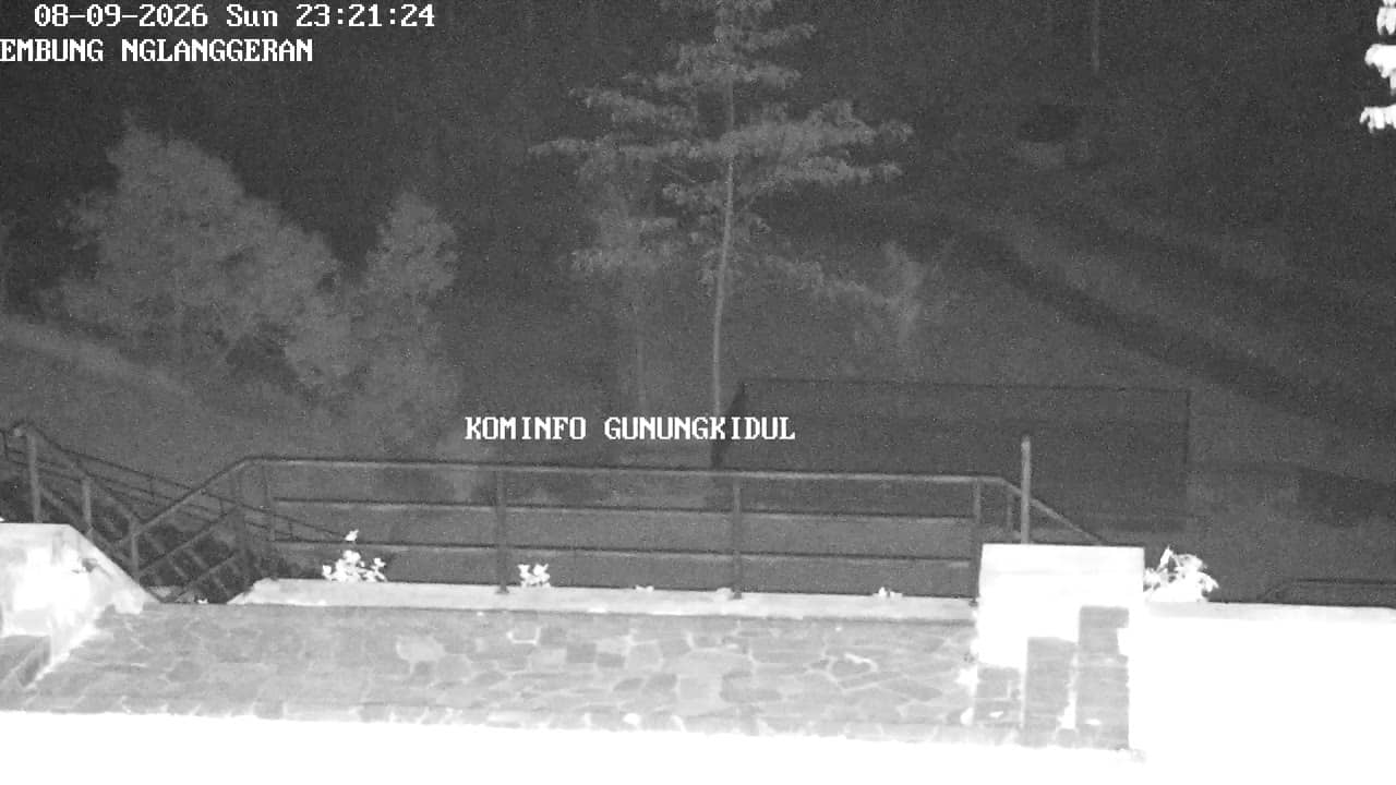
Yogyakarta, Indonesia — 3.8 km
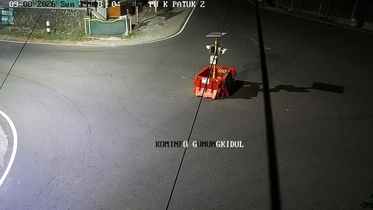
Yogyakarta, Indonesia — 3.9 km
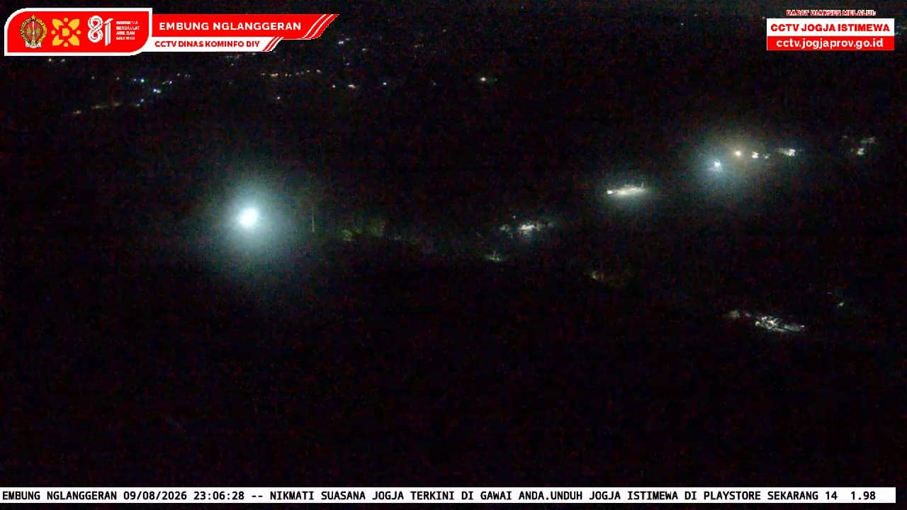
Yogyakarta, Indonesia — 4 km
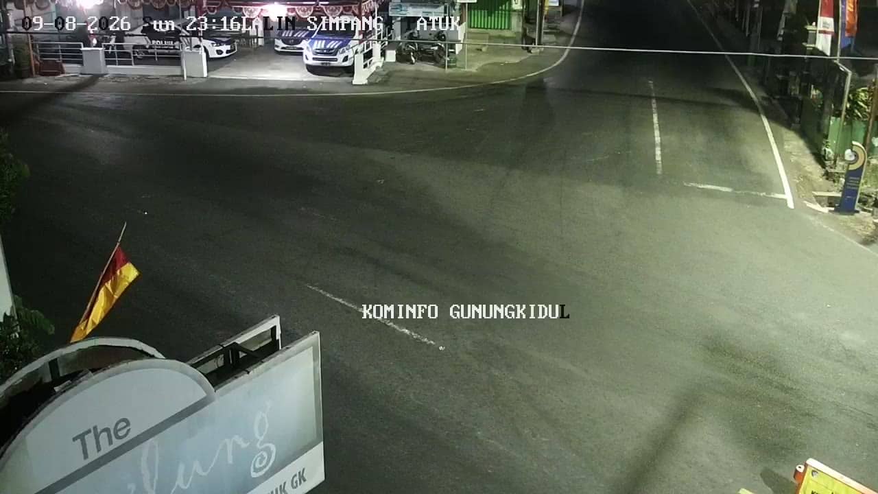
Yogyakarta, Indonesia — 4.6 km

Yogyakarta, Indonesia — 4.7 km
The current conditions and a three-day forecast for Gunungkidul are shown in the weather block on this page. It updates with the page, so you can check it before you plan a trip or a visit to the area.
The local time for Gunungkidul is displayed in the live time block on this page. Indonesia uses several time zones, and this area follows Western Indonesian Time, so the clock here shows the correct local time.
The camera is in Putat, Gunungkidul regency, south of Yogyakarta on Java. The map on this page marks its position, and four other cameras in the same area are listed nearby.
Mornings and late afternoons are usually the busiest, when local traffic and daily activity are most visible. The dry season from May to September gives the clearest views, while the wet season brings more cloud over the hills.
Partner links: we may earn a commission at no extra cost to you.