
Gunungkidul - SMP2PatukBarat
Yogyakarta, Indonesia — 0 km

The camera is temporarily offline
The owner's stream is not available right now. Try again later or watch a camera nearby.
Gunungkidul - SMP2PatukTimur
🇮🇩 Yogyakarta · Indonesia — Altitude 135 m
This live stream looks over a point in Gunungkidul, the limestone hill district south-east of Yogyakarta city. It is a useful window onto everyday life in a rural Javanese setting. The page also gives you the local time and current weather so you can judge conditions before you watch.
Gunungkidul is a regency in the Special Region of Yogyakarta, known for its karst landscape of limestone hills, dry valleys and caves. Settlements sit among terraced fields, and the terrain rises and falls sharply, which shapes roads and village life. The area is less urban than the city of Yogyakarta, and its quieter pace is part of its appeal for visitors who want to see the countryside.
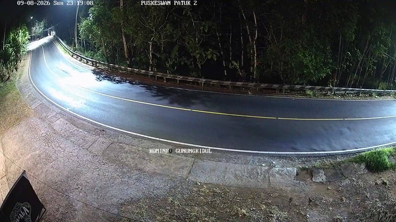
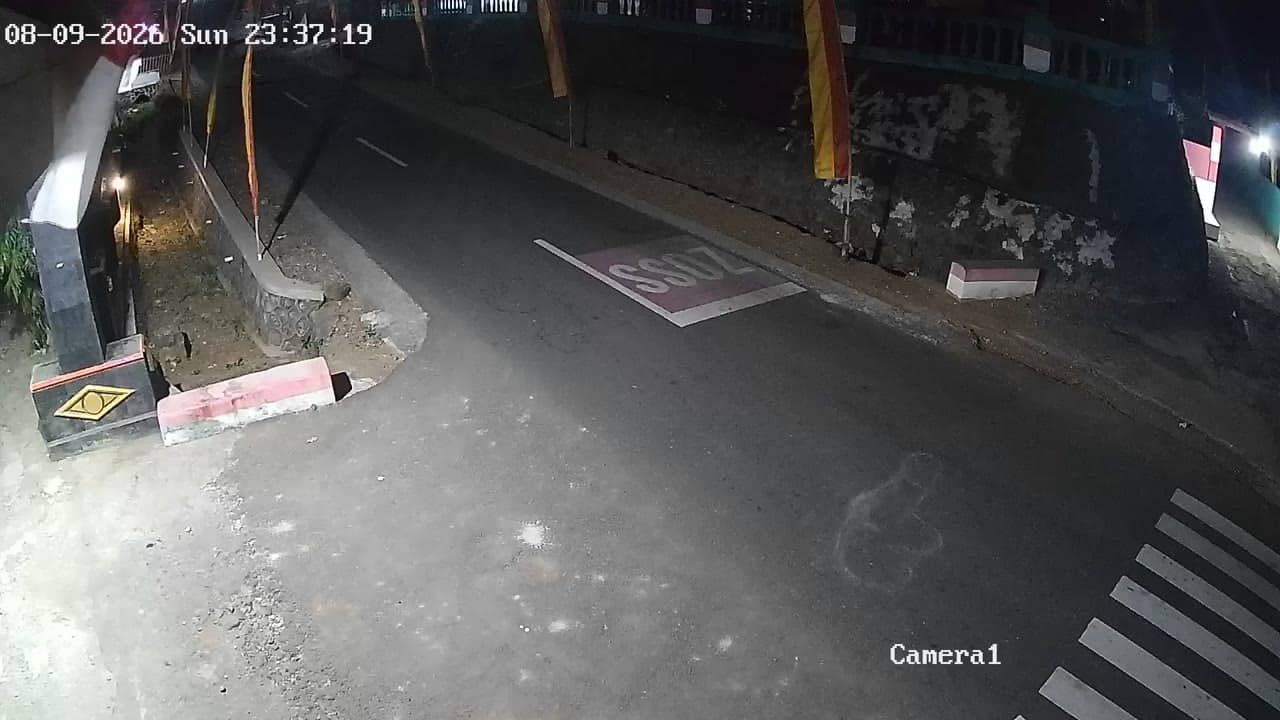
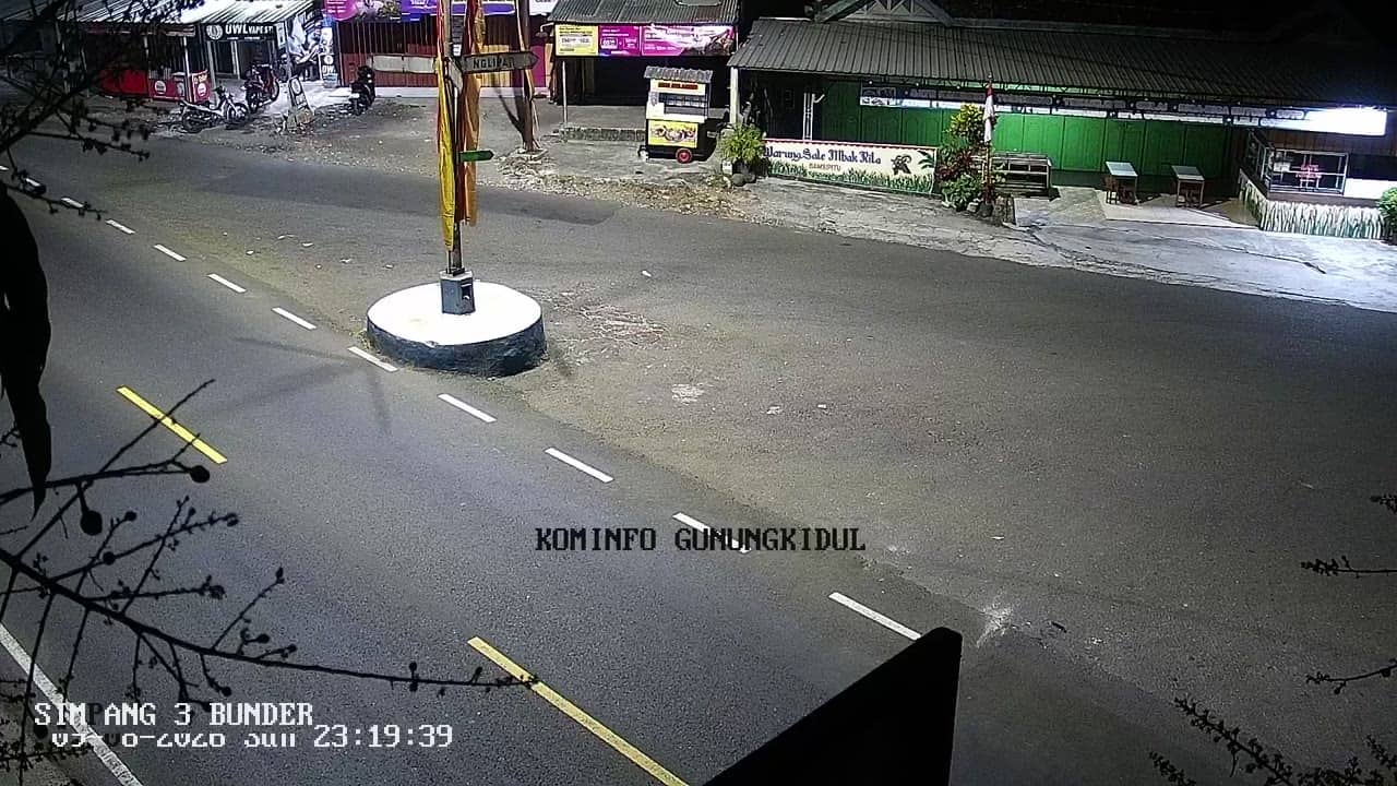
The camera shows a local street scene in the Patuk area, so you may see passing traffic, pedestrians and daily activity around a school and community buildings. Activity is usually busiest in the morning and late afternoon, when students and workers move around. Light and cloud cover change the view a lot, so the early hours and the dry season often give clearer conditions.
Yogyakarta has a tropical climate with a wet season from roughly November to March and a drier period from April to October, which is generally the better time to travel. Temperatures stay warm year round, and afternoon showers are common in the wet months. Nearby cameras in the same network, such as Patuk Barat and Putat, show neighbouring points in the district.
Source: cctv.jogjaprov.go.id
Yogyakarta, Indonesia — 0 km
Yogyakarta, Indonesia — 0.7 km
Yogyakarta, Indonesia — 1.7 km
Yogyakarta, Indonesia — 2.2 km
Yogyakarta, Indonesia — 3.5 km
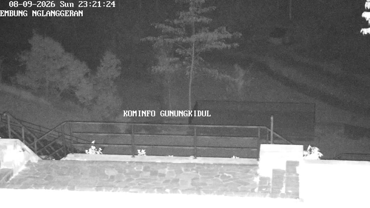
Yogyakarta, Indonesia — 3.5 km
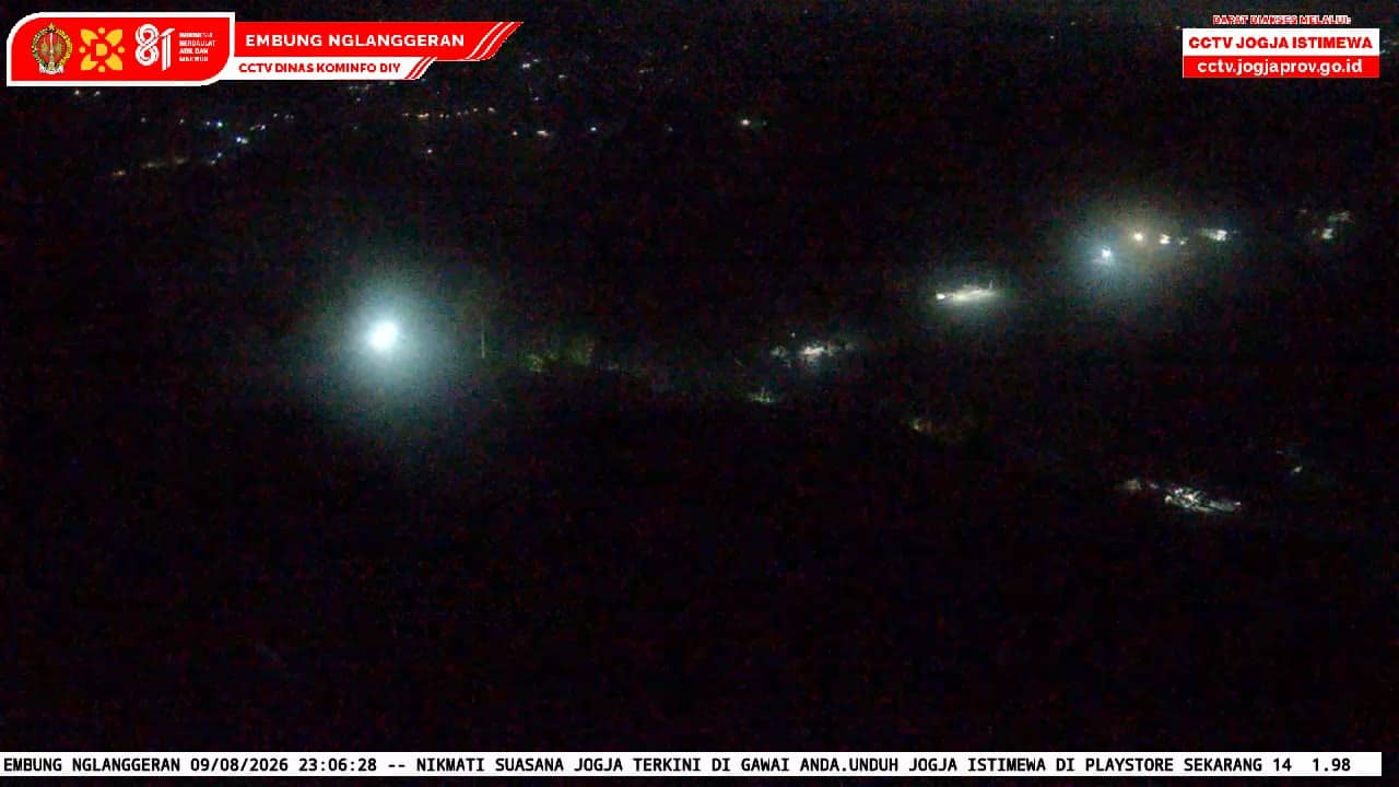
Yogyakarta, Indonesia — 3.7 km
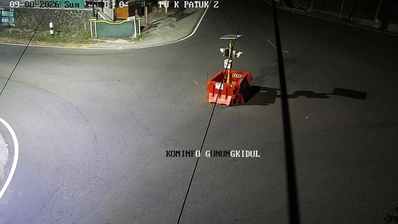
Yogyakarta, Indonesia — 3.9 km
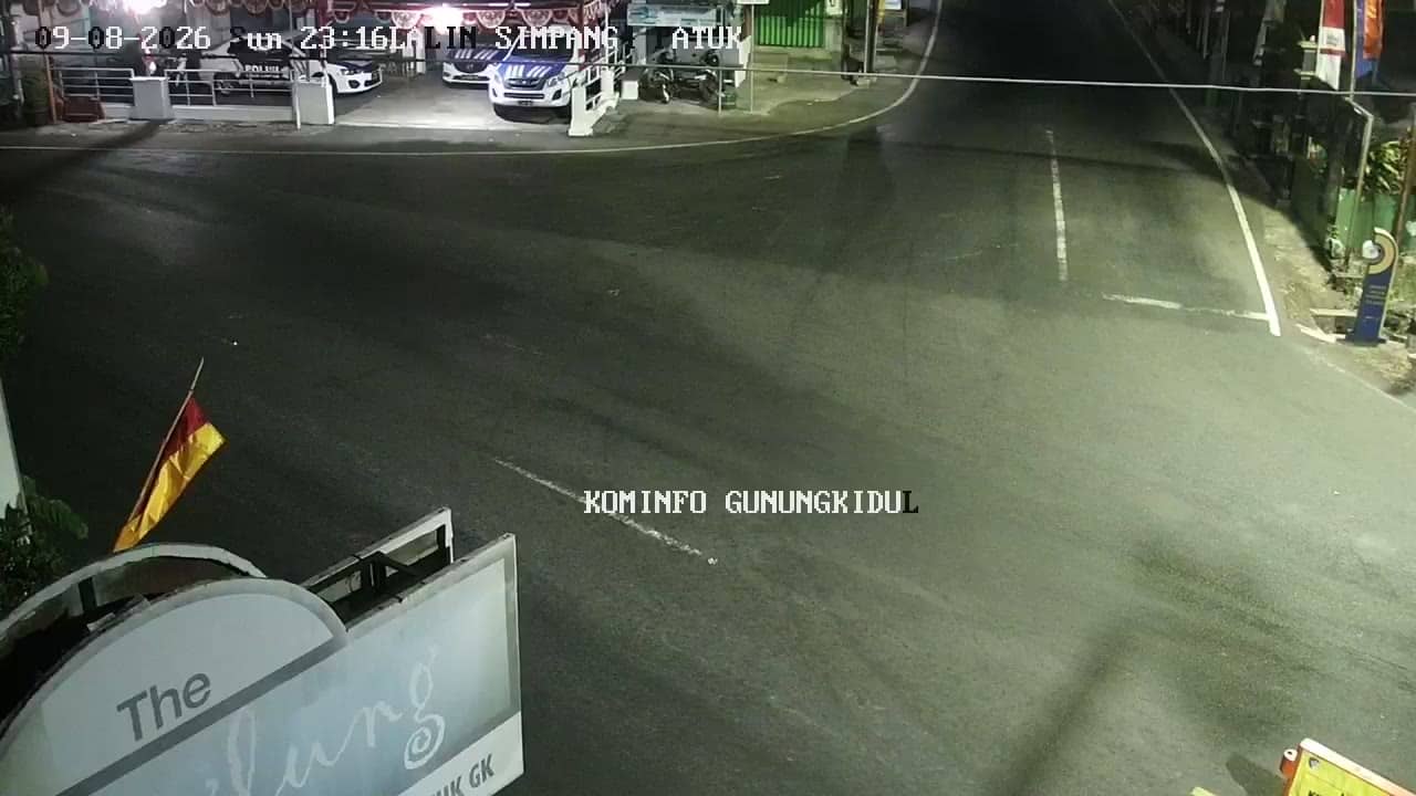
Yogyakarta, Indonesia — 5.3 km

Yogyakarta, Indonesia — 5.4 km
The current weather and a three-day forecast for this location are shown in the live block on this page, updated automatically.
The local time for Gunungkidul is displayed on the page, so you can see whether the scene is in daylight or evening.
The camera is in the Patuk area of Gunungkidul regency, roughly 135 metres above sea level, and the map on this page marks its position.
Morning and late afternoon usually bring the most activity on the street, and clearer views are more likely in the dry season from April to October.
Partner links: we may earn a commission at no extra cost to you.